2000s (21st Century) Maps of Victorville, California
Explore 25 historic maps of Victorville from the 2000s (21st Century). These maps offer a rare glimpse into what life looked like during the 2000s — showing old roads, neighborhoods, homes, and landmarks that have changed or disappeared over time.
Whether you're researching your family's past, planning a metal detecting trip, or studying how Victorville's landscape evolved across the 2000s, these high-resolution maps are a powerful tool for exploring the history of this region.
- Focus on a specific era: All maps on this page are from the 2000s, giving you a focused view of this time period.
- See what’s changed: Compare century-old streets, trails, and buildings to today's modern landscape using overlays and satellite layers.
- Research with precision: Use these maps for genealogy, historical research, land use analysis, or educational projects.
- View, download, or print: Maps are fully viewable online in high resolution, and can be downloaded or printed for your own records.
Start exploring Victorville's history through authentic maps from the 2000s. This is your window into the past.
Victorville, CA maps
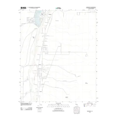
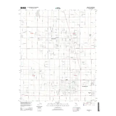
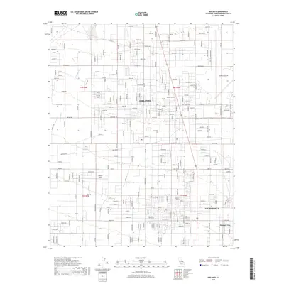
(25)- 2012 Map of Adelanto, 2012 Print
 2012 Adelanto2012 Print · USGSCovers Victorville, including Adelanto, Phelan, and other nearby areas
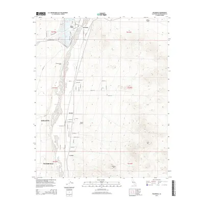
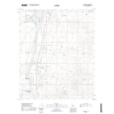
 - 2012 Map of Helendale, 2012 Print
 2012 Helendale2012 Print · USGSCovers Victorville, including Adelanto, Helendale, and other nearby areas
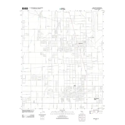
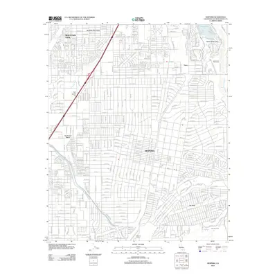
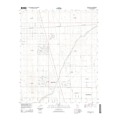
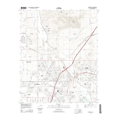
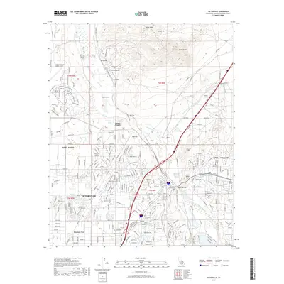
 - 2012 Map of Victorville, 2012 Print
 2012 Victorville2012 Print · USGSCovers Victorville, including Apple Valley, Adelanto, and other nearby areas
 - 2012 Map of Victorville NW, 2012 Print
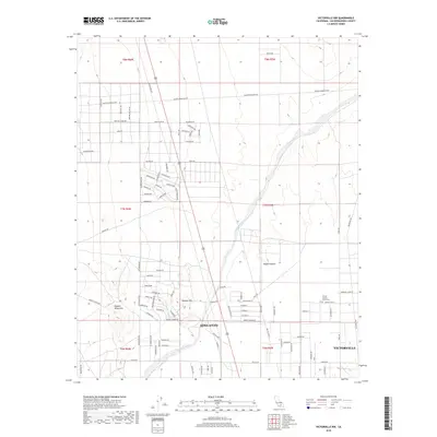
 2012 Victorville NW2012 Print · USGSCovers Victorville, including Adelanto, San Bernardino County, and other nearby areas
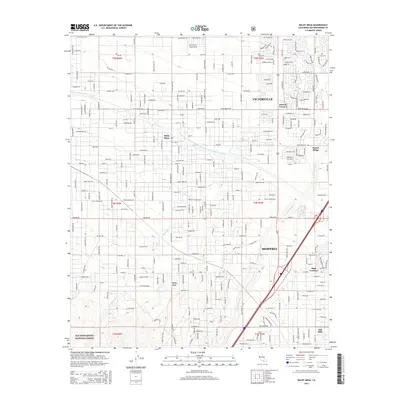
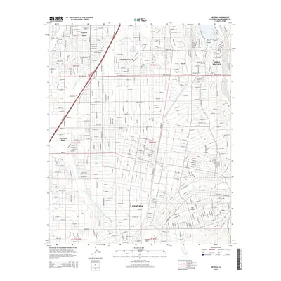
 - 2012 Map of Hesperia, 2012 Print
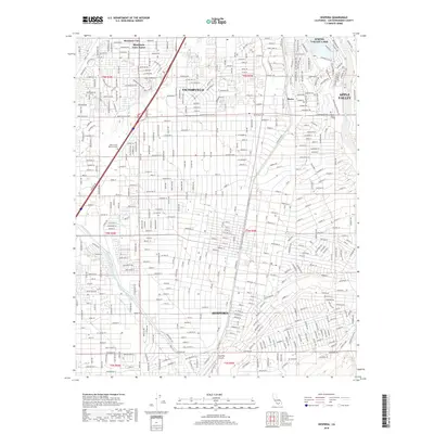
 2012 Hesperia2012 Print · USGSCovers Victorville, including Hesperia, Apple Valley, and other nearby areas
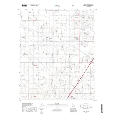
 - 2012 Map of Baldy Mesa, 2012 Print
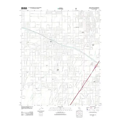 2012 Baldy Mesa2012 Print · USGSCovers Victorville, including Hesperia, Oak Hills, and other nearby areas
 - 2015 Map of Adelanto, 2015 Print
 2015 Adelanto2015 Print · USGSCovers Victorville, including Adelanto, Phelan, and other nearby areas
 - 2015 Map of Helendale, 2015 Print
 2015 Helendale2015 Print · USGSCovers Victorville, including Adelanto, Helendale, and other nearby areas
 - 2015 Map of Victorville NW, 2015 Print
 2015 Victorville NW2015 Print · USGSCovers Victorville, including Adelanto, San Bernardino County, and other nearby areas
 - 2015 Map of Baldy Mesa, 2015 Print
 2015 Baldy Mesa2015 Print · USGSCovers Victorville, including Hesperia, Oak Hills, and other nearby areas
 - 2015 Map of Victorville, 2015 Print
 2015 Victorville2015 Print · USGSCovers Victorville, including Apple Valley, Adelanto, and other nearby areas
 - 2015 Map of Hesperia, 2015 Print
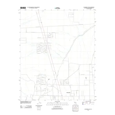
 2015 Hesperia2015 Print · USGSCovers Victorville, including Hesperia, Apple Valley, and other nearby areas
 - 2018 Map of Victorville, 2018 Print
 2018 Victorville2018 Print · USGSCovers Victorville, including Apple Valley, Adelanto, and other nearby areas
 - 2018 Map of Baldy Mesa, 2018 Print
 2018 Baldy Mesa2018 Print · USGSCovers Victorville, including Hesperia, Oak Hills, and other nearby areas
 - 2018 Map of Hesperia, 2018 Print
 2018 Hesperia2018 Print · USGSCovers Victorville, including Hesperia, Apple Valley, and other nearby areas
 - 2018 Map of Victorville NW, 2018 Print
 2018 Victorville NW2018 Print · USGSCovers Victorville, including Adelanto, San Bernardino County, and other nearby areas
 - 2018 Map of Adelanto, 2018 Print
 2018 Adelanto2018 Print · USGSCovers Victorville, including Adelanto, Phelan, and other nearby areas
 - 2018 Map of Helendale, 2018 Print
 2018 Helendale2018 Print · USGSCovers Victorville, including Adelanto, Helendale, and other nearby areas
 - 2021 Map of Helendale, 2021 Print
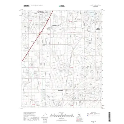
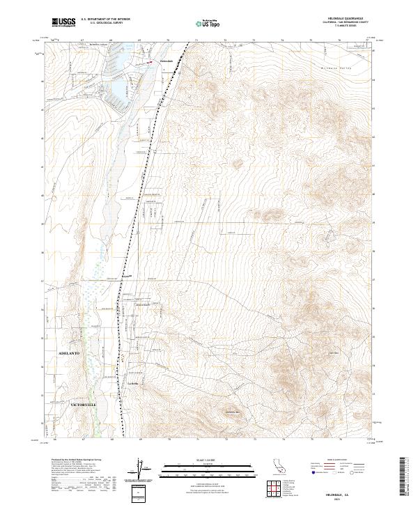 2021 Helendale2021 Print · USGSHigh desert life in the early twenty-first century is centered here on the Mojave River and the transit lines of the BNSF Railway. Researchers can trace the development of Helendale and Bryman, or locate regional landmarks like Silver Mtn.
 - 2021 Map of Victorville NW, 2021 Print
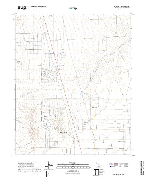 2021 Victorville NW2021 Print · USGSThe High Desert's expansion meets the base of the Shadow Mountains in this modern survey of San Bernardino County. Researchers can trace the development of Adelanto and Victorville while locating landmarks like the United Islamic Youth Cem.
 - 2021 Map of Adelanto, 2021 Print
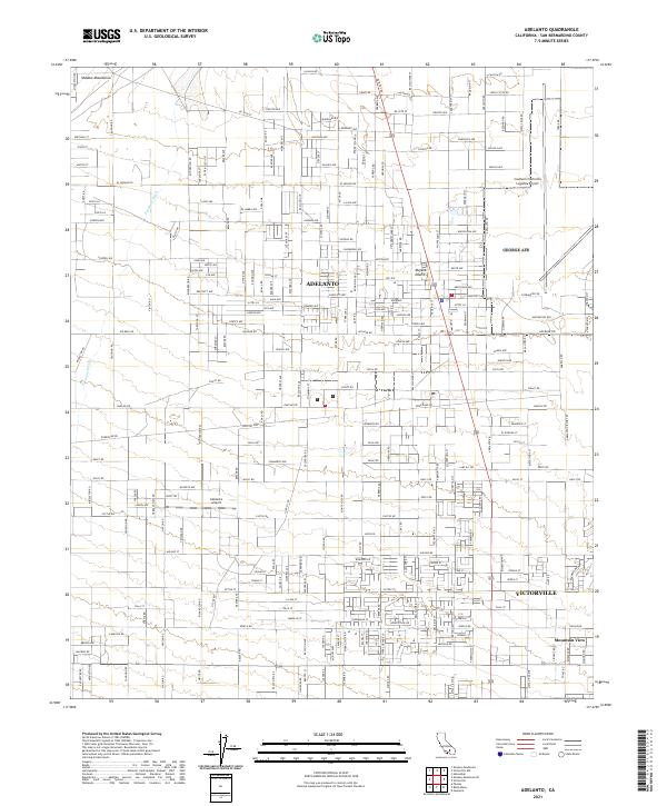 2021 Adelanto2021 Print · USGSAdelanto and the high desert of San Bernardino County are shown during their modern industrial expansion. Trace the growth of aviation hubs like the Southern California Logistics Airport and Adelanto Airport alongside the Shadow Mountains.
 - 2021 Map of Hesperia, 2021 Print
 2021 Hesperia2021 Print · USGSCovers Victorville, including Hesperia, Apple Valley, and other nearby areas
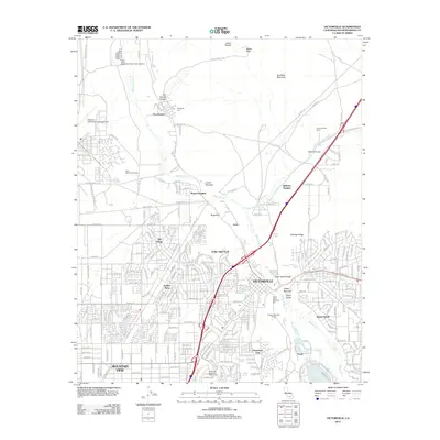
 - 2021 Map of Victorville, 2021 Print
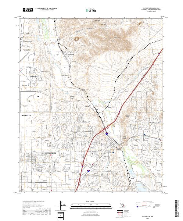 2021 Victorville2021 Print · USGSVictorville and the High Desert are shown here in the 2020s, highlighting the massive infrastructure of the modern logistics corridor. Genealogists and historians can trace the BNSF Railway through the Lower Narrows past sites like Rodigues Cem and St Marys Church.
 - 2021 Map of Baldy Mesa, 2021 Print
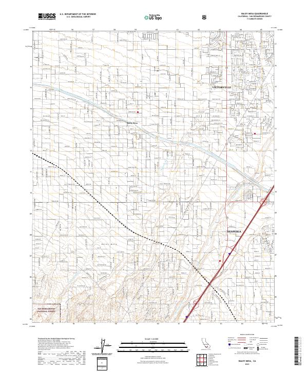 2021 Baldy Mesa2021 Print · USGSSan Bernardino County's high desert reveals its modern development and infrastructure just before the decade's turn. Researchers can trace the path of the California Aqueduct and the growing footprints of Victorville and Hesperia.
 - 2023 Map of Hesperia, 2023 Print
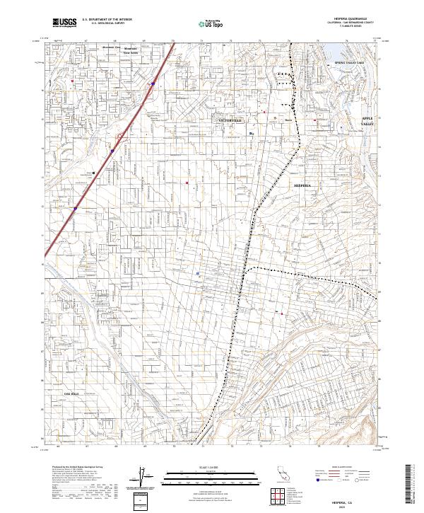 2023 Hesperia2023 Print · USGSHesperia and Victorville are shown at a peak of desert expansion in this modern survey. Researchers can trace neighborhood growth near Hesperia Airport, the path of the Mojave River, and community landmarks like Spring Valley Lake.
End of results
Showing maps 1-25 of 25
Top cities near Victorville
- Hesperia historical maps
- Apple Valley historical maps
- Adelanto historical maps
- Oak Hills historical maps
- Piñon Hills historical maps
Top neighborhoods of Victorville
- Bellevue Heights historical maps
- The Village historical maps
- Eagle Ranch historical maps
- Duncan Corners historical maps
- Sunset Ridge historical maps
- Golden Mesa historical maps
See more
Frequently asked questions
- What are the different types of historical maps available for Victorville?
- What is the oldest map of Victorville?
- Where can I purchase historical maps of Victorville for my home or office?
- Where can I download high-res historical maps of Victorville?
- Are there historical topographic maps available for Victorville?
- Is there historical aerial imagery available for Victorville?
- Where are historical maps of Victorville sourced from?