2000s (21st Century) Maps of San Diego County, California
Explore 384 historic maps of San Diego County from the 2000s (21st Century). These maps offer a rare glimpse into what life looked like during the 2000s — showing old roads, neighborhoods, homes, and landmarks that have changed or disappeared over time.
Whether you're researching your family's past, planning a metal detecting trip, or studying how San Diego County's landscape evolved across the 2000s, these high-resolution maps are a powerful tool for exploring the history of this region.
- Focus on a specific era: All maps on this page are from the 2000s, giving you a focused view of this time period.
- See what’s changed: Compare century-old streets, trails, and buildings to today's modern landscape using overlays and satellite layers.
- Research with precision: Use these maps for genealogy, historical research, land use analysis, or educational projects.
- View, download, or print: Maps are fully viewable online in high resolution, and can be downloaded or printed for your own records.
Start exploring San Diego County's history through authentic maps from the 2000s. This is your window into the past.
San Diego County, CA maps
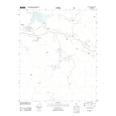
(384)- 2012 Map of San Vicente Reservoir, 2012 Print
 2012 San Vicente Reservoir2012 Print · USGSCovers San Diego County, including San Diego, Santee, and other nearby areas
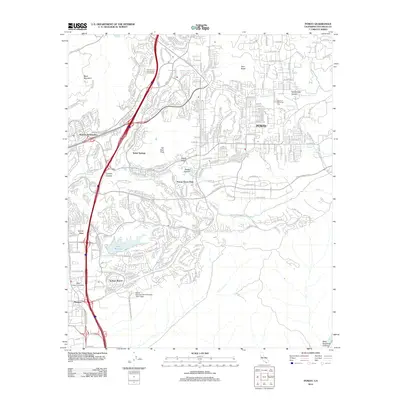
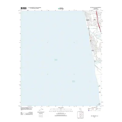
 - 2012 Map of Point Loma OE W, 2012 Print
 2012 Point Loma OE W2012 Print · USGSCovers San Diego County, including San Diego, United States, and other nearby areas
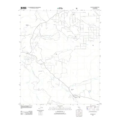
 - 2012 Map of Sombrero Peak, 2012 Print
 2012 Sombrero Peak2012 Print · USGSCovers San Diego County, including United States, California, and other nearby areas
 - 2012 Map of Arroyo Tapiado, 2012 Print
 2012 Arroyo Tapiado2012 Print · USGSCovers San Diego County, including Canebrake, United States, and other nearby areas
 - 2012 Map of Campo, 2012 Print
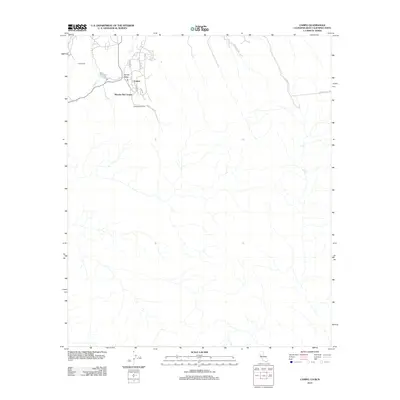 2012 Campo2012 Print · USGSCovers San Diego County, including Campo, Hacienda del Florasol, and other nearby areas
 - 2012 Map of Aguanga, 2012 Print
 2012 Aguanga2012 Print · USGSCovers San Diego County, including Aguanga, Oak Grove, and other nearby areas
 - 2012 Map of Ramona, 2012 Print
 2012 Ramona2012 Print · USGSCovers San Diego County, including Ramona, San Diego Country Estates, and other nearby areas
 - 2012 Map of La Jolla OE W, 2012 Print
 2012 La Jolla OE W2012 Print · USGSCovers San Diego County, including San Diego, United States, and other nearby areas
 - 2012 Map of Santa Ysabel, 2012 Print
 2012 Santa Ysabel2012 Print · USGSCovers San Diego County, including San Diego Country Estates, Ballena, and other nearby areas
 - 2012 Map of Boucher Hill, 2012 Print
 2012 Boucher Hill2012 Print · USGSCovers San Diego County, including Rincon, Palomar Mountain, and other nearby areas
 - 2012 Map of Warner Springs, 2012 Print
 2012 Warner Springs2012 Print · USGSCovers San Diego County, including Holcomb Village, Warner Springs, and other nearby areas
 - 2012 Map of Mesa Grande, 2012 Print
 2012 Mesa Grande2012 Print · USGSCovers San Diego County, including Mesa Grande, Mesa Grande Reservation, and other nearby areas
 - 2012 Map of Tierra del Sol, 2012 Print
 2012 Tierra del Sol2012 Print · USGSCovers San Diego County, including El Hongo, Tierra del Sol, and other nearby areas
 - 2012 Map of Poway, 2012 Print
 2012 Poway2012 Print · USGSCovers San Diego County, including San Diego, Santee, and other nearby areas
 - 2012 Map of La Jolla, 2012 Print
 2012 La Jolla2012 Print · USGSCovers San Diego County, including San Diego, United States, and other nearby areas
 - 2012 Map of Del Mar OE W, 2012 Print
 2012 Del Mar OE W2012 Print · USGSCovers San Diego County, including San Diego, Encinitas, and other nearby areas
 - 2012 Map of Palomar Observatory, 2012 Print
 2012 Palomar Observatory2012 Print · USGSCovers San Diego County, including La Jolla Amago, United States, and other nearby areas
 - 2012 Map of Rodriguez Mountain, 2012 Print
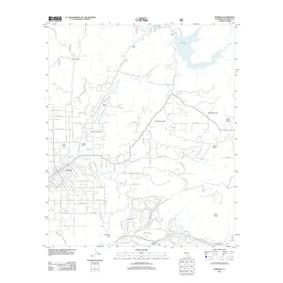
 2012 Rodriguez Mountain2012 Print · USGSCovers San Diego County, including Escondido, United States, and other nearby areas
 - 2012 Map of Point Loma, 2012 Print
 2012 Point Loma2012 Print · USGSCovers San Diego County, including San Diego, National City, and other nearby areas
 - 2012 Map of San Pasqual, 2012 Print
 2012 San Pasqual2012 Print · USGSCovers San Diego County, including San Diego, Escondido, and other nearby areas
 - 2012 Map of Otay Mountain, 2012 Print
 2012 Otay Mountain2012 Print · USGSCovers San Diego County, including El Niño, Valle Verde, and other nearby areas
 - 2012 Map of Hot Springs Mountain, 2012 Print
 2012 Hot Springs Mountain2012 Print · USGSCovers San Diego County, including Eagles Nest, Los Tules, and other nearby areas
 - 2012 Map of Vail Lake, 2012 Print
 2012 Vail Lake2012 Print · USGSCovers San Diego County, including Butterfield Lake Estates, Radec, and other nearby areas
 - 2012 Map of Carrizo Mountain, 2012 Print
 2012 Carrizo Mountain2012 Print · USGSCovers San Diego County, including Ocotillo, Imperial County, and other nearby areas
 - 2012 Map of Jacumba OE S, 2012 Print
 2012 Jacumba OE S2012 Print · USGSCovers San Diego County, including Jacumba Hot Springs, Ejido Jacume, and other nearby areas
Showing maps 1-25 of 384
Top cities of San Diego County
- San Diego historical maps
- Chula Vista historical maps
- Oceanside historical maps
- Escondido historical maps
- Carlsbad historical maps
- El Cajon historical maps
See more
Frequently asked questions
- What are the different types of historical maps available for San Diego County?
- What is the oldest map of San Diego County?
- Where can I purchase historical maps of San Diego County for my home or office?
- Where can I download high-res historical maps of San Diego County?
- Are there historical topographic maps available for San Diego County?
- Is there historical aerial imagery available for San Diego County?
- Where are historical maps of San Diego County sourced from?