2020s Maps of Santa Clara County, California
Explore 34 historic maps of Santa Clara County from the 2020s. These maps offer a rare glimpse into what life looked like during the 2020s — showing old roads, neighborhoods, homes, and landmarks that have changed or disappeared over time.
Whether you're researching your family's past, planning a metal detecting trip, or studying how Santa Clara County's landscape evolved across the 2020s, these high-resolution maps are a powerful tool for exploring the history of this region.
- Focus on a specific era: All maps on this page are from the 2020s, giving you a focused view of this time period.
- See what’s changed: Compare century-old streets, trails, and buildings to today's modern landscape using overlays and satellite layers.
- Research with precision: Use these maps for genealogy, historical research, land use analysis, or educational projects.
- View, download, or print: Maps are fully viewable online in high resolution, and can be downloaded or printed for your own records.
Start exploring Santa Clara County's history through authentic maps from the 2020s. This is your window into the past.
Santa Clara County, CA maps
(34)- 2021 Map of Mariposa Peak, 2021 Print
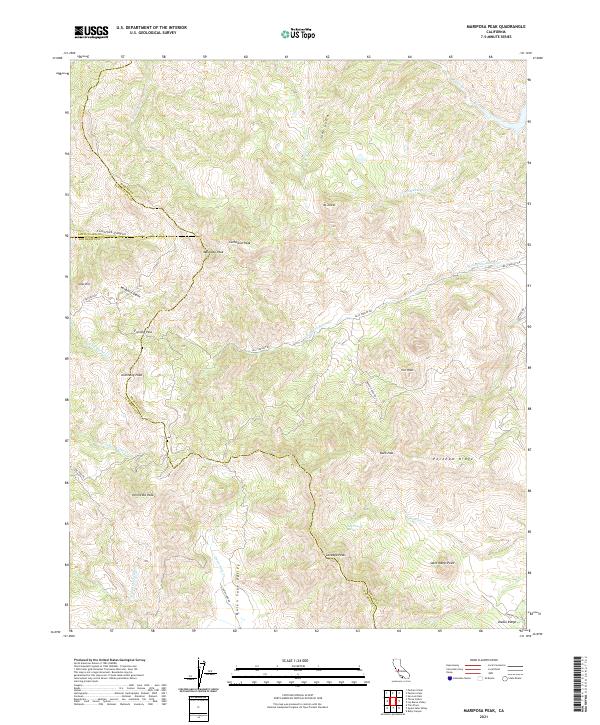 2021 Mariposa Peak2021 Print · USGSThe Diablo Range heights at the meeting of Merced and San Benito counties are captured here in the early twenty-first century. Researchers can trace remote mountain passes like Frenchs Pass, the open terrain of Quien Sabe Valley, and landmarks like Henrietta Peak.
 - 2021 Map of Three Sisters, 2021 Print
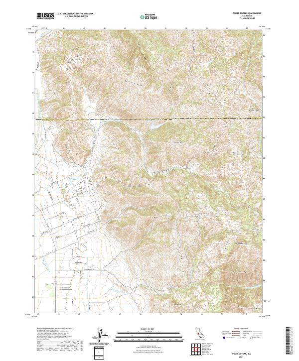 2021 Three Sisters2021 Print · USGSThe Diablo Range heights along the Santa Clara and San Benito county line come into focus during the early twenty-first century. Researchers can trace remote ridgelines and rural access routes like Tevis Trl, Lone Tree Rd, and the peaks of the Three Sisters.
 - 2021 Map of San Felipe, 2021 Print
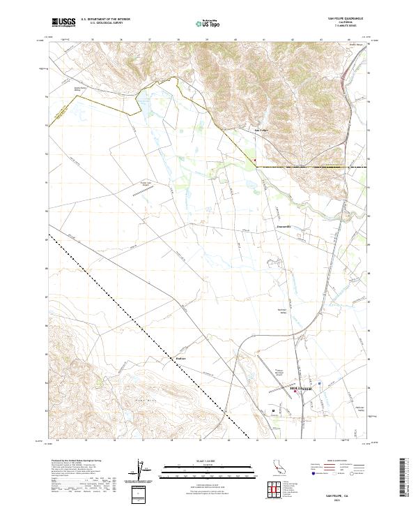 2021 San Felipe2021 Print · USGSThe northern reaches of San Benito County appear here in the early 2020s, where the agricultural valley floor meets the rising Diablo Range. Researchers can trace the water systems of San Felipe Lake and Tequisquita Slough or locate rural outposts like Dunneville and Hudner.
 - 2021 Map of Watsonville East, 2021 Print
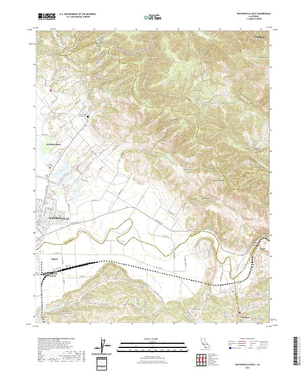 2021 Watsonville East2021 Print · USGSThe fertile Pajaro Valley and southern Santa Cruz Mountains meet in this recent survey of the tri-county border area. Researchers can trace land use patterns near Watsonville Junction or locate family sites at Saint Francis Cem and Aromas.
 - 2021 Map of Milpitas, 2021 Print
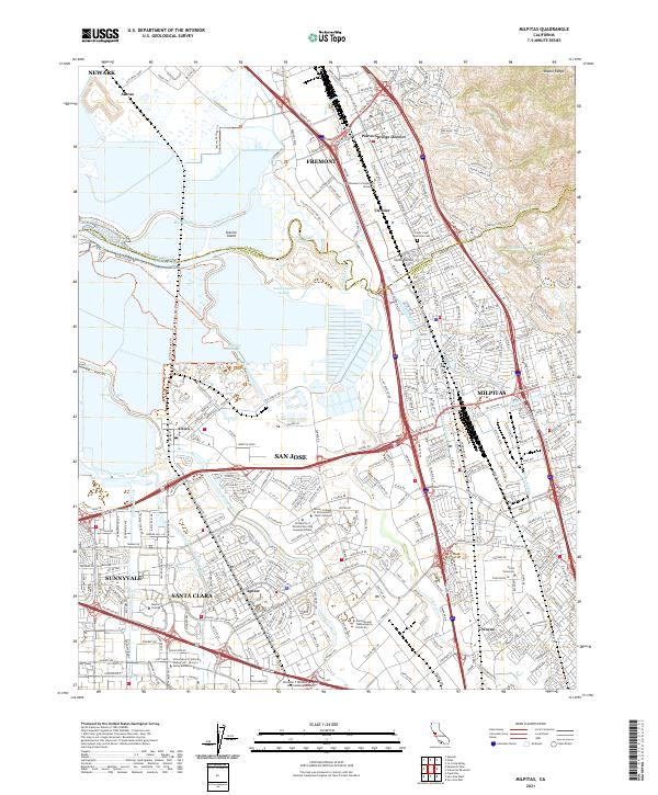 2021 Milpitas2021 Print · USGSThe southern reach of San Francisco Bay meets the Silicon Valley corridor in the early twenty-first century. Genealogists and local historians can trace the evolution of Agnew, Curtner, and Wayne alongside modern landmarks like Cedar Lawn Memorial Cem.
 - 2021 Map of Isabel Valley, 2021 Print
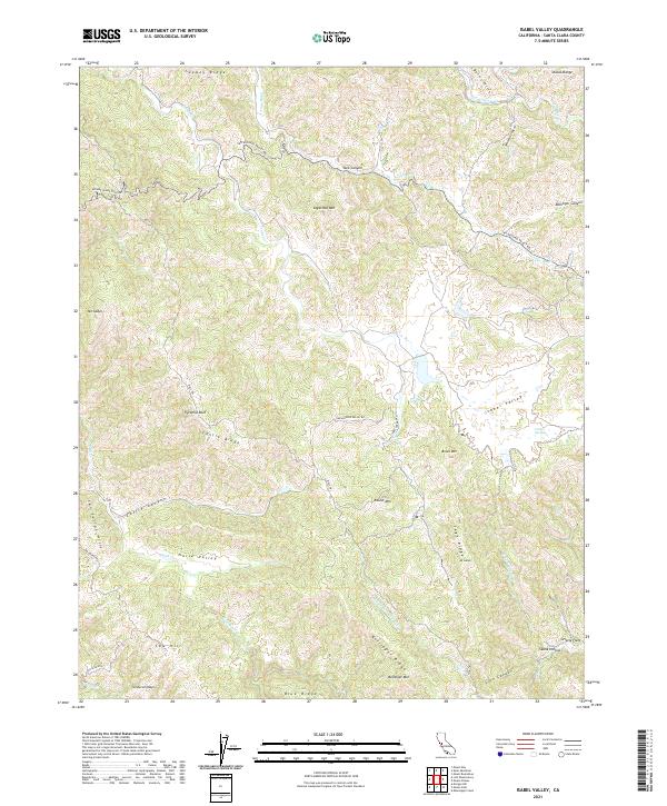 2021 Isabel Valley2021 Print · USGSThe high ridges of the Diablo Range come into focus in this recent study of the Santa Clara County backcountry. Researchers can trace historical paths like the Mule Trl or locate landmarks such as Grizzly Flats and the isolated Indian Springs.
 - 2021 Map of Crevison Peak, 2021 Print
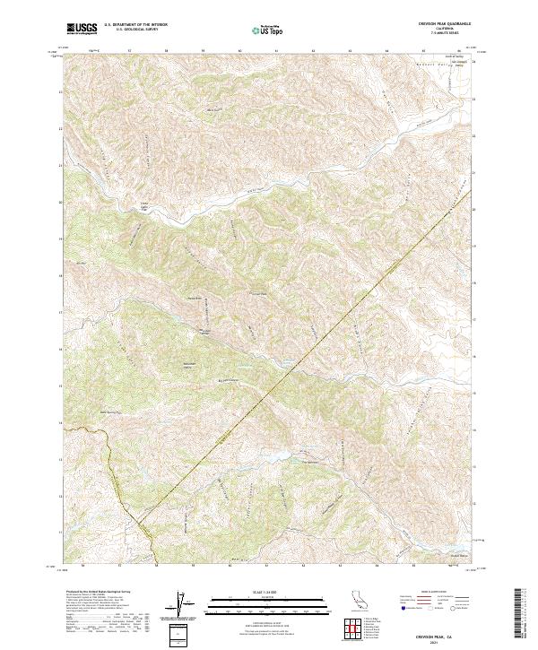 2021 Crevison Peak2021 Print · USGSThe high country of the Diablo Range is documented here as it appeared recently, showing the complex borderlands of three counties. Researchers can trace remote locales like Mountain Valley, China Cabin Flat, and the rugged peaks of Crevison Peak.
 - 2021 Map of Mustang Peak, 2021 Print
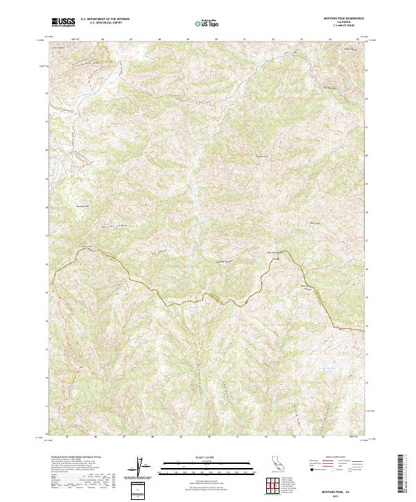 2021 Mustang Peak2021 Print · USGSThe Diablo Range foothills along the Stanislaus and Santa Clara county line are captured here in the early twenty-first century. Outdoor enthusiasts and researchers can trace the winding Blue Hill Grade and isolated landmarks like Mustang Peak and the Rooster Comb.
 - 2021 Map of Calaveras Reservoir, 2021 Print
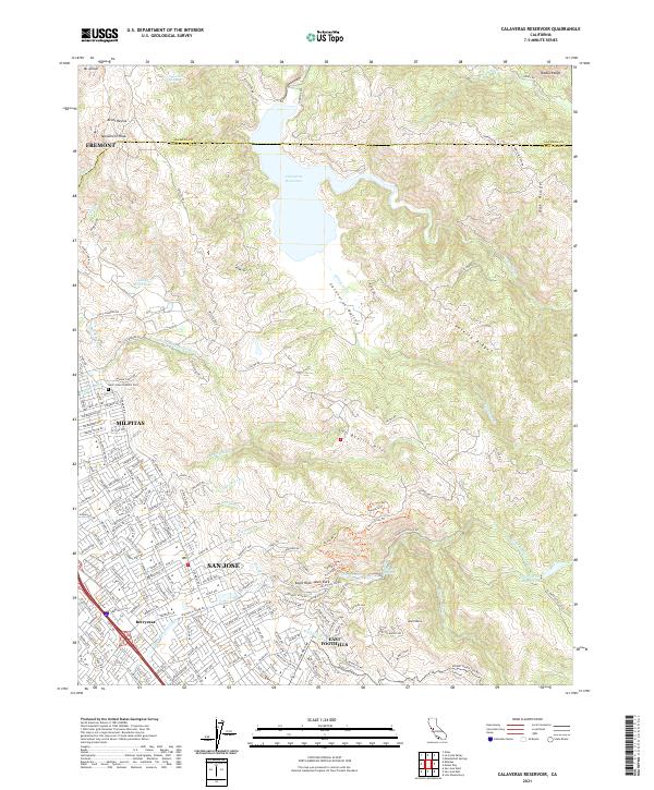 2021 Calaveras Reservoir2021 Print · USGSThe Santa Clara Valley interface meets the Diablo Range in this 2021 survey, documenting the transition from urban neighborhoods to protected watersheds. Researchers can trace the layout of Berryessa or find landmarks like Saint Johns Catholic Cem and Alum Rock.
 - 2021 Map of Laurel, 2021 Print
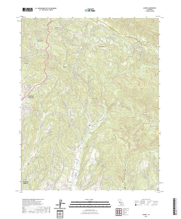 2021 Laurel2021 Print · USGSThe Santa Cruz Mountains at the start of the 2020s are seen here in detail, from the ridge-top roads of Skyland Ridge to the outskirts of Santa Cruz. Local historians can trace family-named landmarks like Mountain Charlie Gulch and the older mountain settlements of Laurel and Glenwood.
 - 2021 Map of Pacheco Peak, 2021 Print
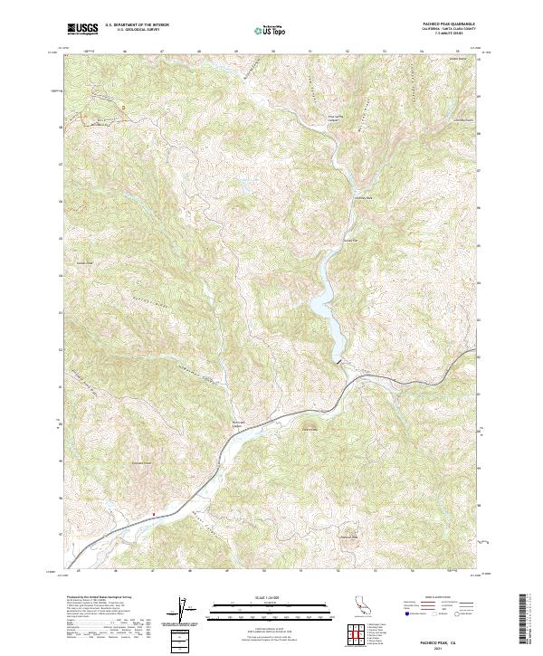 2021 Pacheco Peak2021 Print · USGSThe southern Diablo Range in Santa Clara County is seen here during the early twenty-first century. Researchers can trace the trails and terrain around Pacheco Peak, Mustang Ridge, and the natural landmark of Lovers Leap.
 - 2021 Map of Mount Stakes, 2021 Print
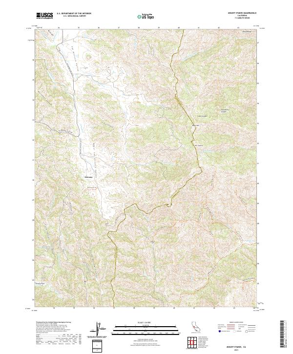 2021 Mount Stakes2021 Print · USGSThe Diablo Range comes into focus in the early 2020s, showing the high ridges of the Santa Clara and Stanislaus border. Trace the remote settlement of Ashrama or navigate the backcountry along Mount Stakes Trail and Lions Canyon.
 - 2021 Map of Loma Prieta, 2021 Print
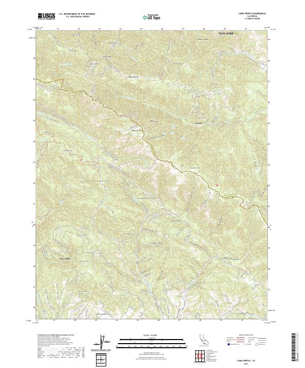 2021 Loma Prieta2021 Print · USGSThe Santa Cruz Mountains and the Santa Clara County line meet at the summit of Loma Prieta in this modern survey of the California coast range. Researchers can trace remote settlements and canyon landmarks such as Sveadal, Grizzly Flat, and Maymens Flat along the winding Highland Way.
 - 2021 Map of Mount Boardman, 2021 Print
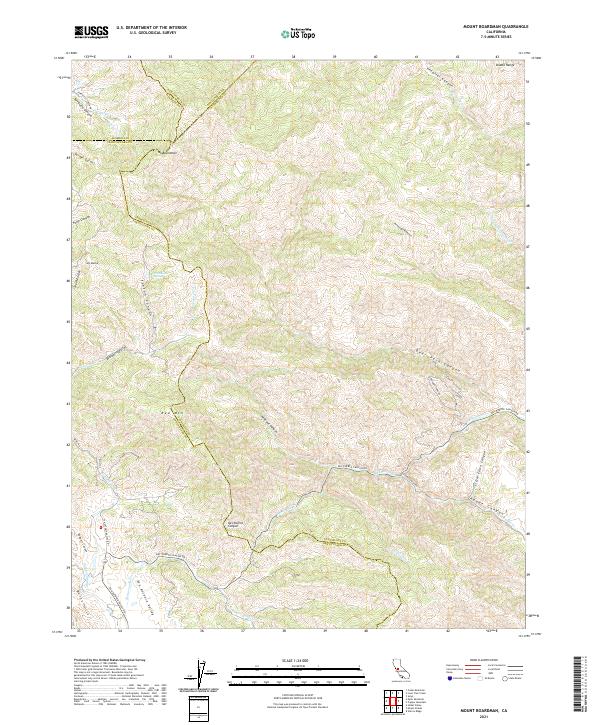 2021 Mount Boardman2021 Print · USGSThe high ridges of the Diablo Range come alive in this contemporary survey of the four-county junction. Researchers can trace the winding paths of Mines Rd, identify family landmarks in the San Antonio Valley, and locate remote features like Passionate Spring.
 - 2021 Map of Pacheco Pass, 2021 Print
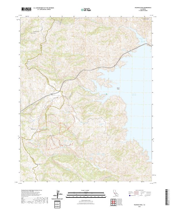 2021 Pacheco Pass2021 Print · USGSThe Diablo Range crossing at Pacheco Pass is captured here in the early twenty-first century, showing the rugged intersection of Santa Clara and Merced counties. Researchers can trace remote locales like Whisky Flat and a network of high-country waters including Dinosaur Lake and Mammoth Lake.
 - 2021 Map of Los Gatos, 2021 Print
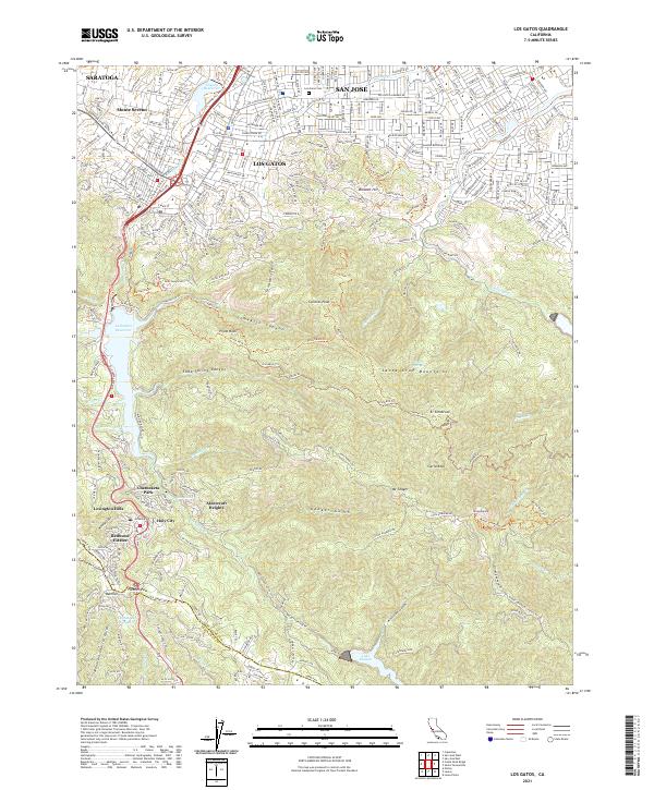 2021 Los Gatos2021 Print · USGSThe Santa Cruz Mountains meet the southern edge of the valley in the 2020s. Trace the mountain communities of Holy City and Redwood Estates or explore the ridgeline trails around Mt Umunhum and Sierra Azul.
 - 2021 Map of Mount Day, 2021 Print
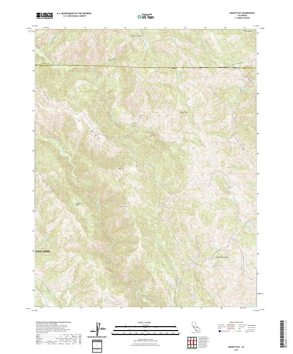 2021 Mount Day2021 Print · USGSThe Diablo Range east of San Jose is captured here in the early twenty-first century, showcasing the remote ridgelines and deep canyons of the Santa Clara backcountry. Topographic researchers can trace high-altitude features like Mt Day, Hamilton Flat, and the winding course of Arroyo Hondo.
 - 2021 Map of Mount Madonna, 2021 Print
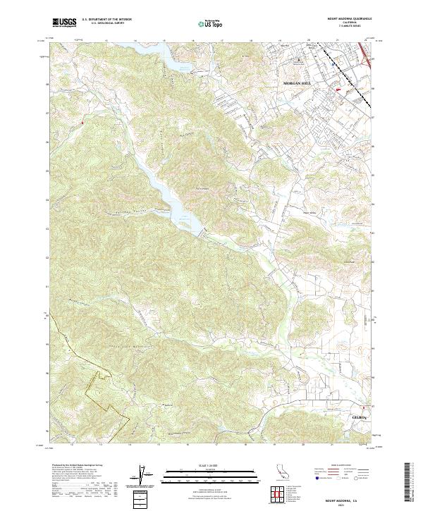 2021 Mount Madonna2021 Print · USGSThe southern end of the Santa Clara Valley meets the mountains in the early twenty-first century as urban development reaches the base of El Toro. Genealogists and historians can trace the transition from Morgan Hill city streets to rural landmarks like Mount Hope Memorial Park and Uvas Reservoir.
 - 2021 Map of Eylar Mountain, 2021 Print
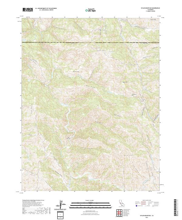 2021 Eylar Mountain2021 Print · USGSThe interior Diablo Range comes into focus in the early 2020s, showing a landscape of high ridges and deep canyons. Trace the drainage of Arroyo Valle or find named landmarks like McGlinchey Spring and Eylar Mtn.
 - 2021 Map of Gilroy Hot Springs, 2021 Print
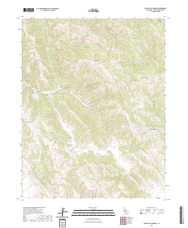 2021 Gilroy Hot Springs2021 Print · USGSHigh ridges of the Diablo Range dominate this Santa Clara County landscape as it appeared in the early 2020s. Researchers can trace intricate trail networks and family-named landmarks like Willson Peak, Bills Hill, and Hunting Hollow.
 - 2021 Map of Mississippi Creek, 2021 Print
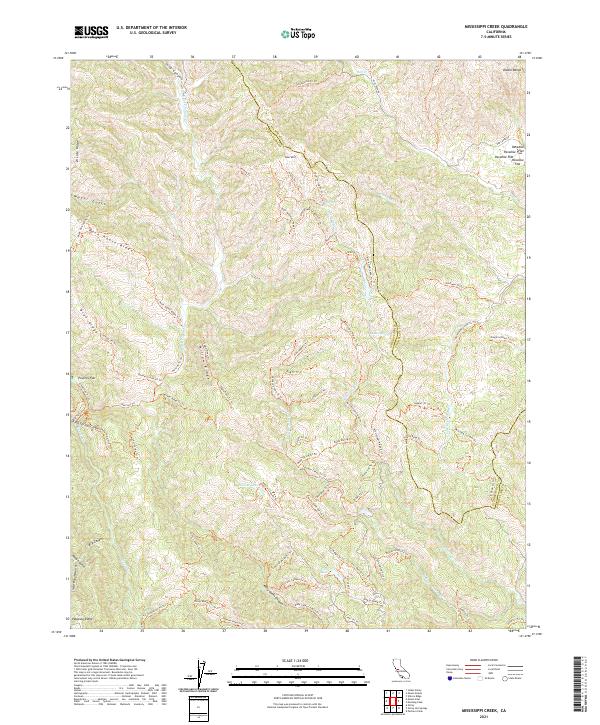 2021 Mississippi Creek2021 Print · USGSThe high canyons of the Diablo Range come into focus in this modern survey of the Santa Clara and Stanislaus county line. Researchers can trace the drainage of Mississippi Cr and locate high-country landmarks like Poverty Flat and Coit Lake.
 - 2021 Map of Chittenden, 2021 Print
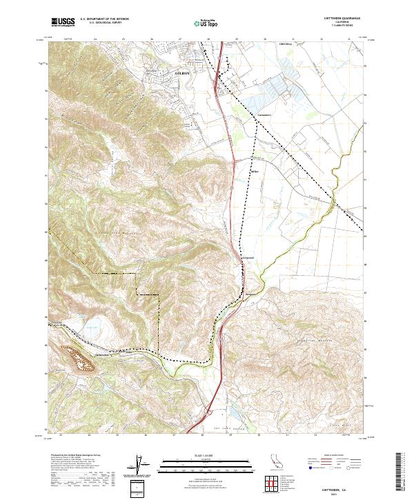 2021 Chittenden2021 Print · USGSThe southern Santa Clara Valley meets the foothills of the Santa Cruz Mountains in this recent survey. Local historians can trace the transition from GILROY to Old Gilroy and locate landmarks like Soda Lake, Gavilan College, and the historic Sargent settlement.
 - 2021 Map of Gilroy, 2021 Print
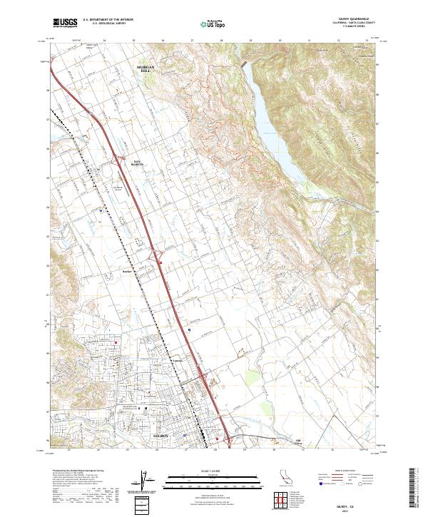 2021 Gilroy2021 Print · USGSThe Santa Clara Valley is captured here in the early twenty-first century, showing the established corridors between Gilroy and Morgan Hill. Researchers can trace local history through the Union Pacific line and sites like Old Gilroy or Saint Marys Cem.
 - 2021 Map of Mount Sizer, 2021 Print
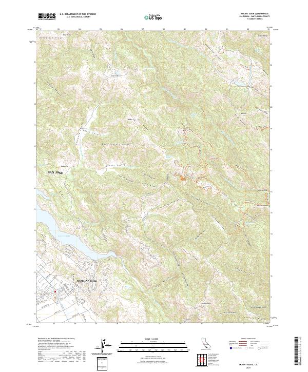 2021 Mount Sizer2021 Print · USGSThe high Diablo Range and the expanding outskirts of Morgan Hill meet in this recent survey. Researchers can trace the rugged network of ridges and canyons, identifying sites like Madrone Soda Springs, the historic Schoolhouse Ridge, and the shores of Anderson Lake.
 - 2021 Map of Santa Teresa Hills, 2021 Print
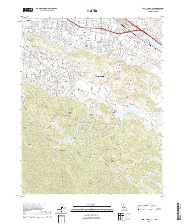 2021 Santa Teresa Hills2021 Print · USGSThe southern edges of the Santa Clara Valley meet the Santa Cruz Mountains in the early twenty-first century. Genealogists and historians can trace the legacy of quicksilver mining through New Almaden, English Town, and the Hacienda Cem and Memorial Park.
Showing maps 1-25 of 34
Top cities of Santa Clara County
- San Jose historical maps
- Sunnyvale historical maps
- Santa Clara historical maps
- Milpitas historical maps
- Mountain View historical maps
- Palo Alto historical maps
See more
Frequently asked questions
- What are the different types of historical maps available for Santa Clara County?
- What is the oldest map of Santa Clara County?
- Where can I purchase historical maps of Santa Clara County for my home or office?
- Where can I download high-res historical maps of Santa Clara County?
- Are there historical topographic maps available for Santa Clara County?
- Is there historical aerial imagery available for Santa Clara County?
- Where are historical maps of Santa Clara County sourced from?