2010s Maps of Sonoma County, California
Explore 141 historic maps of Sonoma County from the 2010s. These maps offer a rare glimpse into what life looked like during the 2010s — showing old roads, neighborhoods, homes, and landmarks that have changed or disappeared over time.
Whether you're researching your family's past, planning a metal detecting trip, or studying how Sonoma County's landscape evolved across the 2010s, these high-resolution maps are a powerful tool for exploring the history of this region.
- Focus on a specific era: All maps on this page are from the 2010s, giving you a focused view of this time period.
- See what’s changed: Compare century-old streets, trails, and buildings to today's modern landscape using overlays and satellite layers.
- Research with precision: Use these maps for genealogy, historical research, land use analysis, or educational projects.
- View, download, or print: Maps are fully viewable online in high resolution, and can be downloaded or printed for your own records.
Start exploring Sonoma County's history through authentic maps from the 2010s. This is your window into the past.
Sonoma County, CA maps
(141)- 2012 Map of Santa Rosa, 2012 Print
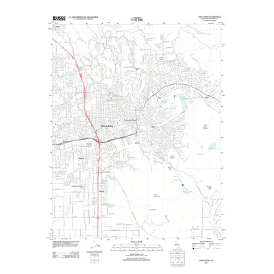 2012 Santa Rosa2012 Print · USGSSanta Rosa and its surrounding valley neighborhoods are captured here during a period of established growth. Genealogists and local historians can trace legacy sites like the Santa Rosa Rural Cem or explore the outskirts near Matanzas Creek Winery and Taylor Mountain.
 - 2012 Map of Sears Point, 2012 Print
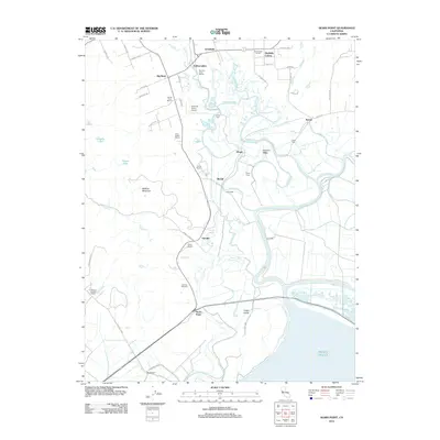 2012 Sears Point2012 Print · USGSThe Sonoma marshlands and vineyard country meet in this 2012 study of the North Bay shoreline. Researchers can trace the legacy of regional viticulture at Gloria Ferrer Winery and locate historic rail-stop settlements like Schellville and Wingo.
 - 2012 Map of Cuttings Wharf, 2012 Print
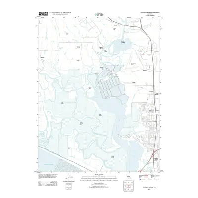 2012 Cuttings Wharf2012 Print · USGSThe Napa River delta and the growing community of American Canyon come into sharp focus in the early 2010s. Trace the reach of the tide through China Slough and Steamboat Slough or locate regional landmarks like Cuttings Wharf and the Napa County Airport.
 - 2012 Map of Jimtown, 2012 Print
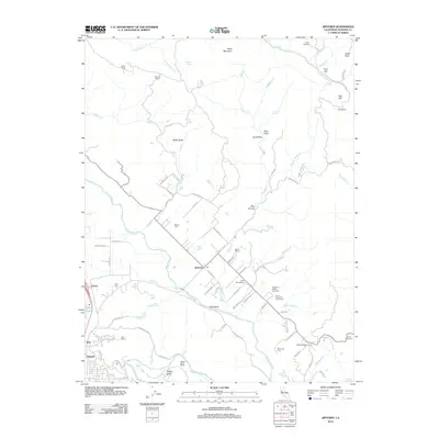 2012 Jimtown2012 Print · USGSThe Alexander Valley wine country is documented here during a period of established viticulture and rural development. Researchers can trace family history through the Cyrus Alexander Family Cem and locate historic operations like Soda Rock Winery and Simi Winery.
 - 2012 Map of Mount Saint Helena, 2012 Print
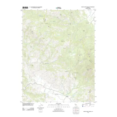 2012 Mount Saint Helena2012 Print · USGSThe base of the Mayacmas Mountains comes into focus in this recent survey of the Kellogg area. Local historians can trace family roots at Evergreen Cem or locate historical landmarks like Locke Cabin and Schoolhouse Point.
 - 2012 Map of Sebastopol, 2012 Print
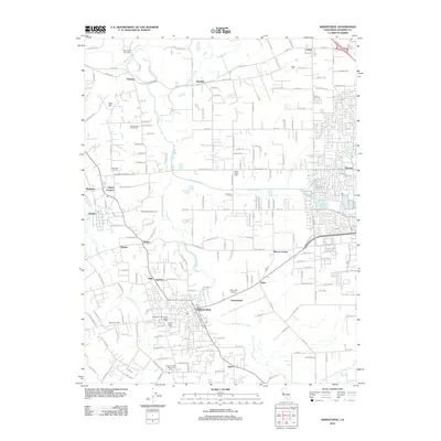 2012 Sebastopol2012 Print · USGSSonoma County's wine country and agricultural heartland are detailed here in the early twenty-first century. Researchers can trace family history through sites like the Steele Family Cemetery, the Sebastopol Grange, and the old settlement at Graton.
 - 2012 Map of Calistoga, 2012 Print
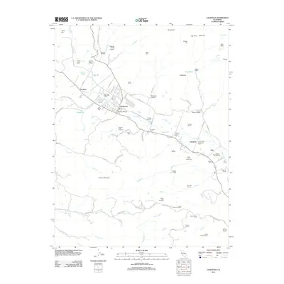 2012 Calistoga2012 Print · USGSUpper Napa Valley's renowned viticultural landscape is presented here in the early twenty-first century, centered on the historic town of Calistoga. Researchers can trace the heritage of local estates and landmarks like Bale Mill, Old Pioneer Cem, and the Old Faithful Geyser of California.
 - 2012 Map of Mare Island, 2012 Print
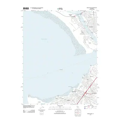 2012 Mare Island2012 Print · USGSThe maritime and industrial corridors of San Pablo Bay are captured here during a period of modern urban growth. Researchers can trace the development of Vallejo and Hercules, locating landmarks like Old Hillside Cem and the Hercules Wharf.
 - 2012 Map of Petaluma, 2012 Print
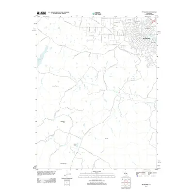 2012 Petaluma2012 Print · USGSCoastal hills and riverfront industry meet in this 2012 survey of southern Sonoma County. Genealogists and local historians can trace family-named routes and landmarks from McNear Peninsula and B'nai Israel Cem to the high reaches of Hicks Mountain.
 - 2012 Map of Petaluma River, 2012 Print
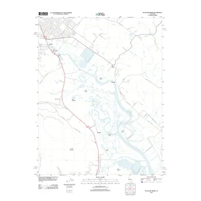 2012 Petaluma River2012 Print · USGSThe tidal marshes and ranch lands of the Petaluma River valley come into sharp focus in the early 2010s. Local researchers can trace historic landing sites like Haystack Landing, aviation hubs at Gnoss Field, and the winding reaches of Schultz Slough.
 - 2012 Map of Novato, 2012 Print
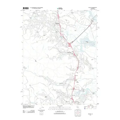 2012 Novato2012 Print · USGSMarin County's North Bay landscape is captured here in the early twenty-first century, showing the evolved suburban corridor between the hills and the bay. Researchers can trace the layout of Old Town, the expansive Hamilton Field, and local landmarks like Mount Olivet Cem.
 - 2012 Map of Kenwood, 2012 Print
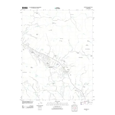 2012 Kenwood2012 Print · USGSThe Sonoma Valley viticultural corridor comes into focus here during the early twenty-first century. Researchers can trace the layout of the Kenwood and Lawndale settlements or locate established estates such as Kunde Winery and Saint Francis Winery.
 - 2012 Map of Detert Reservoir, 2012 Print
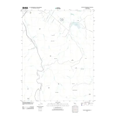 2012 Detert Reservoir2012 Print · USGSLake County agriculture and high-altitude terrain converge in the early twenty-first century near the headwaters of the Napa River. Genealogists and historians can trace the path of the Old Lawley Toll Rd and locate landmarks like Guenoc Winery and Dead Horse Flat.
 - 2012 Map of Two Rock, 2012 Print
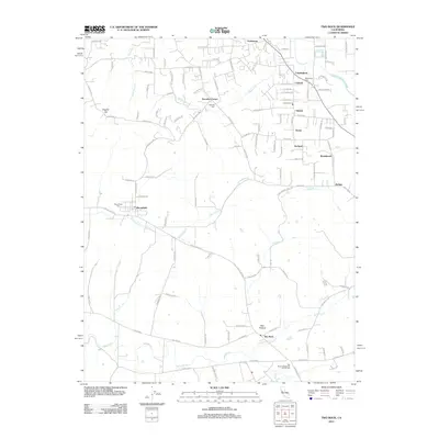 2012 Two Rock2012 Print · USGSCoastal Sonoma County remains a landscape of small agricultural settlements and winding creeks in the early 2010s. Researchers can trace family history at the Two Rock Presbyterian Church Cem or locate historic hubs like Bloomfield and Hessel.
 - 2012 Map of Mark West Springs, 2012 Print
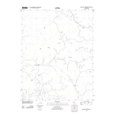 2012 Mark West Springs2012 Print · USGSThe Sonoma County highlands come into focus in 2012, showing the rugged topography between Santa Rosa and Calistoga. Genealogists and local historians can trace modern property access along Franz Valley Rd and locate landmarks like the Petrified Forest and Mark West Springs.
 - 2012 Map of The Geysers, 2012 Print
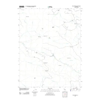 2012 The Geysers2012 Print · USGSThe Mayacamas Mountains come into focus in 2012, showing a unique landscape of geothermal activity and remote mining settlements. Local historians can trace family properties like Truitt Ranch and the specific infrastructure of Mercuryville or the Buckman Mines Housing Unit Number Two.
 - 2012 Map of Healdsburg, 2012 Print
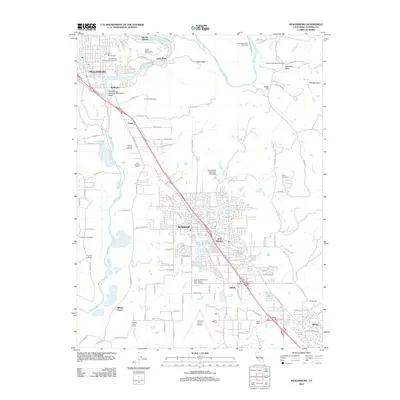 2012 Healdsburg2012 Print · USGSHealdsburg and the Russian River valley are shown in the early 2010s during a period of established viticulture and suburban growth. Researchers can trace family sites at Oak Mound Cem or explore the corridor between Windsor and Wikiup.
 - 2012 Map of Whispering Pines, 2012 Print
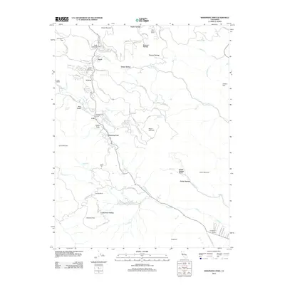 2012 Whispering Pines2012 Print · USGSLake County’s high-country resort culture is captured here in the early twenty-first century, centered on the forested slopes of Cobb Mountain. Researchers can trace the layout of historic spring communities like Ettawa Springs and Harbin Springs or locate landmarks like the Paul Hoberg Airport.
 - 2012 Map of Sonoma, 2012 Print
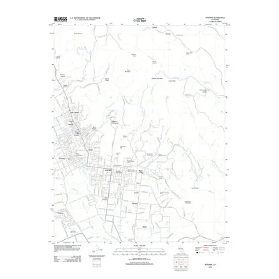 2012 Sonoma2012 Print · USGSThe Sonoma Valley at the start of the 2010s reveals a landscape where historic viticulture meets growing residential communities. Genealogists and researchers can trace the region's heritage through Mountain Cem, Castagnasso Farm, and the Mission San Francisco Solano Vineyard.
 - 2012 Map of Petaluma Point, 2012 Print
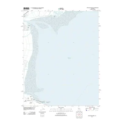 2012 Petaluma Point2012 Print · USGSSan Pablo Bay and the Sonoma shoreline come into focus in the early 2010s. Researchers can trace the coastal marshes around Port Sonoma Marina or explore the landmarks of China Camp and Miwok Meadows.
 - 2012 Map of Cotati, 2012 Print
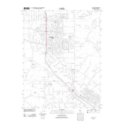 2012 Cotati2012 Print · USGSSonoma County transitions from suburban centers to valley ranchland during this period of expansion. Genealogists and local historians can trace the foundations of Penngrove and Liberty, or locate landmarks like Liberty Cem and Sonoma State University.
 - 2012 Map of Glen Ellen, 2012 Print
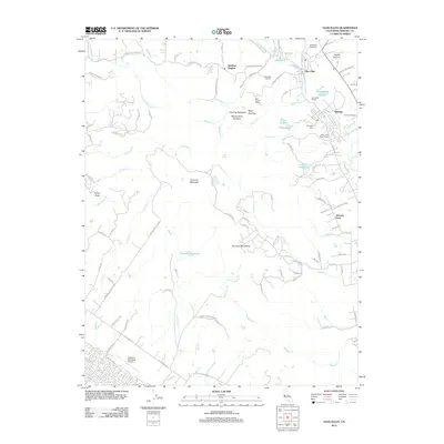 2012 Glen Ellen2012 Print · USGSSonoma County's viticultural and ranching heartland is documented here in the early twenty-first century. Researchers can locate family landmarks and historic sites like the Jack London Ranch, Eldridge Cemetery, and the Valley of the Moon Winery.
 - 2012 Map of Point Reyes NE, 2012 Print
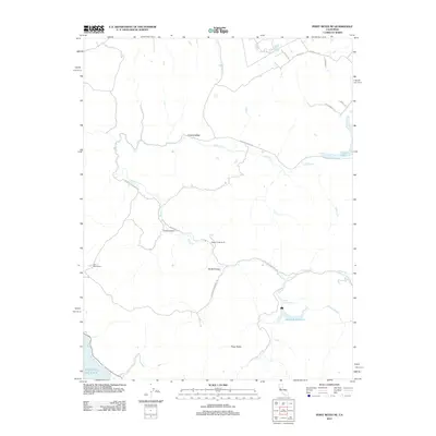 2012 Point Reyes NE2012 Print · USGSCoastal Sonoma County's ranching and water resources are documented here in the early twenty-first century. Researchers can trace land use through Walker Creek Ranch, locate the Soulajule Reservoir, and follow the path of Chileno Cr.
 - 2012 Map of Camp Meeker, 2012 Print
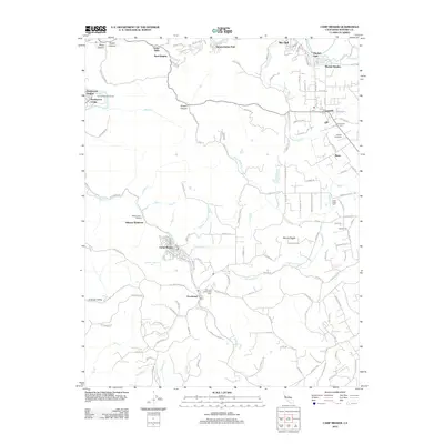 2012 Camp Meeker2012 Print · USGSSonoma County's redwood-fringed canyons and river valleys are captured here a decade into the new millennium. Genealogists and local researchers can locate established burial sites like Druids Occidental Cem or trace the winding streets of Camp Meeker and Occidental.
 - 2012 Map of Valley Ford, 2012 Print
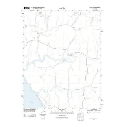 2012 Valley Ford2012 Print · USGSCoastal Sonoma and Marin counties appear here as a landscape of tidal esteros and rural hamlets in the early twenty-first century. Researchers can locate family landmarks such as Bodega Calvary Cem, the Joy Woods Redwood Tree Farm, and the seaside community at Dillon Beach.
Showing maps 1-25 of 141
Top cities of Sonoma County
- Santa Rosa historical maps
- Petaluma historical maps
- Rohnert Park historical maps
- Windsor historical maps
- Villa Grande historical maps
- Healdsburg historical maps
See more
Frequently asked questions
- What are the different types of historical maps available for Sonoma County?
- What is the oldest map of Sonoma County?
- Where can I purchase historical maps of Sonoma County for my home or office?
- Where can I download high-res historical maps of Sonoma County?
- Are there historical topographic maps available for Sonoma County?
- Is there historical aerial imagery available for Sonoma County?
- Where are historical maps of Sonoma County sourced from?