2020s Maps of Sonoma County, California
Explore 50 historic maps of Sonoma County from the 2020s. These maps offer a rare glimpse into what life looked like during the 2020s — showing old roads, neighborhoods, homes, and landmarks that have changed or disappeared over time.
Whether you're researching your family's past, planning a metal detecting trip, or studying how Sonoma County's landscape evolved across the 2020s, these high-resolution maps are a powerful tool for exploring the history of this region.
- Focus on a specific era: All maps on this page are from the 2020s, giving you a focused view of this time period.
- See what’s changed: Compare century-old streets, trails, and buildings to today's modern landscape using overlays and satellite layers.
- Research with precision: Use these maps for genealogy, historical research, land use analysis, or educational projects.
- View, download, or print: Maps are fully viewable online in high resolution, and can be downloaded or printed for your own records.
Start exploring Sonoma County's history through authentic maps from the 2020s. This is your window into the past.
Sonoma County, CA maps
(50)- 2021 Map of Duncans Mills, 2021 Print
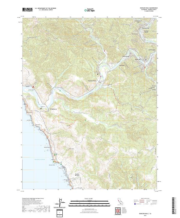 2021 Duncans Mills2021 Print · USGSThe Sonoma coast and lower Russian River corridor are mapped here during the early 21st century, showing the region's famous riverside resorts and coastal hamlets. Genealogists and local historians can trace family sites at Duncans Mills Cem or explore the layouts of Monte Rio, Villa Grande, and Jenner.
 - 2021 Map of Annapolis, 2021 Print
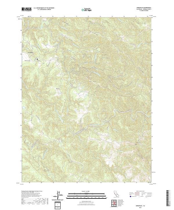 2021 Annapolis2021 Print · USGSCoastal Sonoma County is captured here in the early twenty-first century, showing the small community of Annapolis and its surrounding ridge-and-river geography. Researchers can find local burial sites like Annapolis Church Cem and trace the winding course of the Wheatfield Fork Gualala River.
 - 2021 Map of Big Foot Mountain, 2021 Print
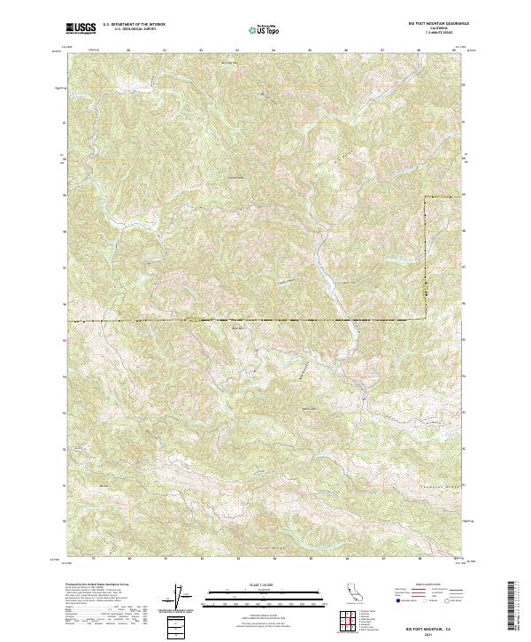 2021 Big Foot Mountain2021 Print · USGSThe Mendocino and Sonoma county line runs through this remote stretch of the California Coast Ranges in the early twenty-first century. Researchers can trace land patterns along Thompson Ridge or locate peaks like Big Foot Mtn and Crystal Peak.
 - 2021 Map of Stewarts Point OE W, 2021 Print
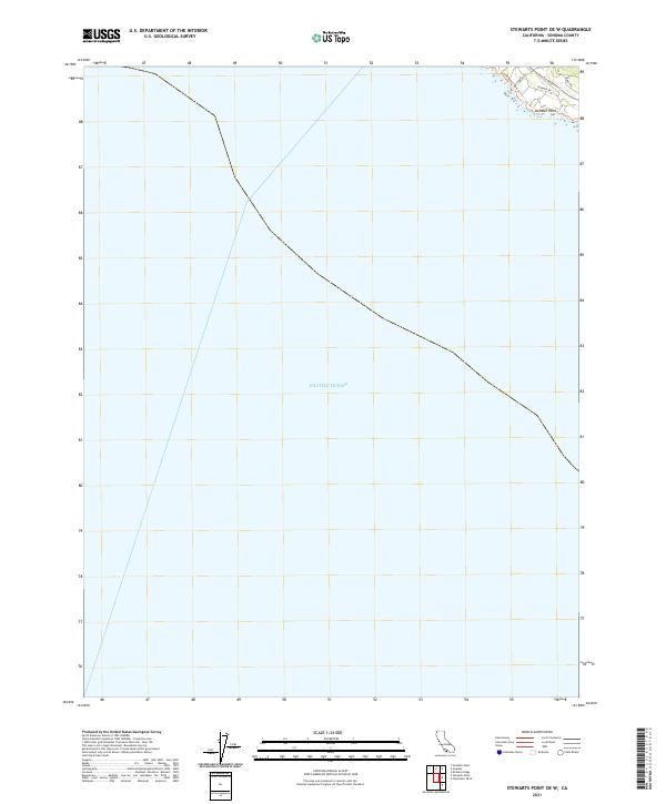 2021 Stewarts Point OE W2021 Print · USGSCoastal Sonoma County meets the Pacific Ocean in this recent survey of the Sea Ranch area. Researchers can trace the coastal Sea Ranch Bluff Trl and local roads like Leeward Rd near the landmark at Del Mar Point.
 - 2021 Map of McGuire Ridge, 2021 Print
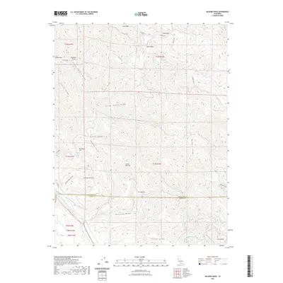 2021 McGuire Ridge2021 Print · USGSThe Mendocino and Sonoma county line crosses this high ridge country in the early twenty-first century, where remote clearings punctuate the timbered slopes. Researchers can trace historic landmarks like Peachtree Flat, Cox Opening, and the family-named Johnny Woodin Ridge.
 - 2021 Map of Tombs Creek, 2021 Print
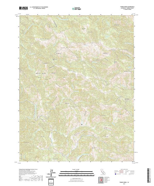 2021 Tombs Creek2021 Print · USGSDeep in the Sonoma hills during the early twenty-first century, this map shows a landscape shaped by water and high ridges. Trace old family connections and landmarks at Las Lomas, Quicksilver Flat, and Johnny Brown Springs.
 - 2021 Map of Gube Mountain, 2021 Print
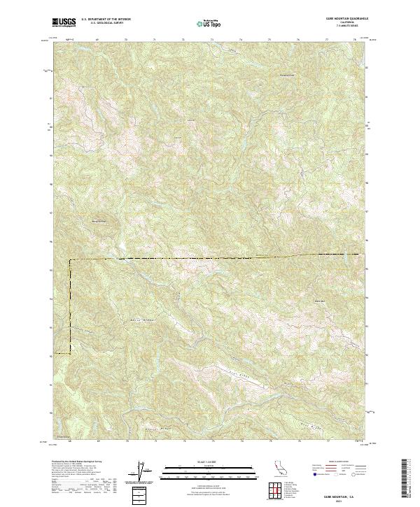 2021 Gube Mountain2021 Print · USGSThe Mendocino and Sonoma county line runs through this high-elevation landscape as it appeared in the early twenty-first century. Researchers can trace the drainage of Rockpile Cr or locate topographical landmarks like School Ridge, Gube Mtn, and Snook Mtn.
 - 2021 Map of Saunders Reef, 2021 Print
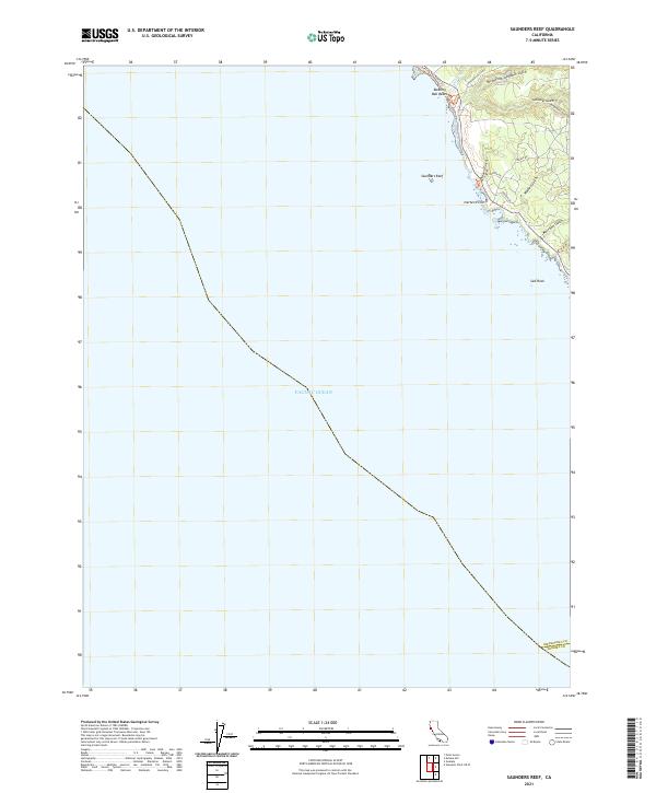 2021 Saunders Reef2021 Print · USGSMendocino County's coastline comes into focus in this contemporary survey of the bluffs and gulches south of Point Arena. Researchers can trace the rugged geography of Saunders Reef, Iversen Point, and the famous geological formations at Bowling Ball Beach.
 - 2021 Map of Stewarts Point, 2021 Print
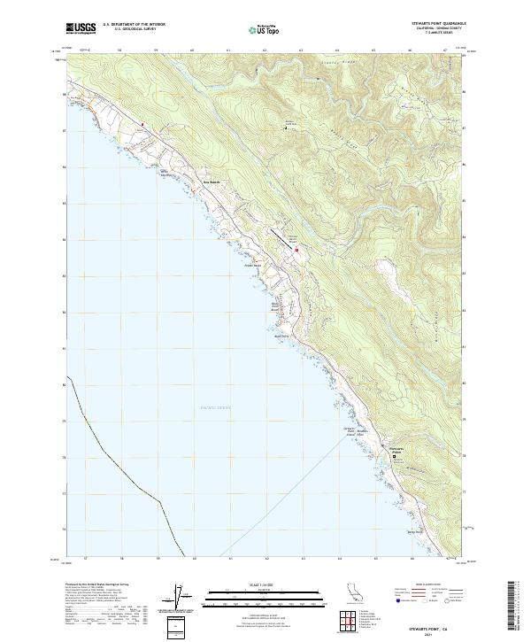 2021 Stewarts Point2021 Print · USGSThe Sonoma coast is captured here in a moment of modern coastal living and maritime heritage. You can trace the community layout of Sea Ranch and locate historical landmarks like the Stewarts Point Cem and The Sea Ranch Airport.
 - 2021 Map of Fort Ross, 2021 Print
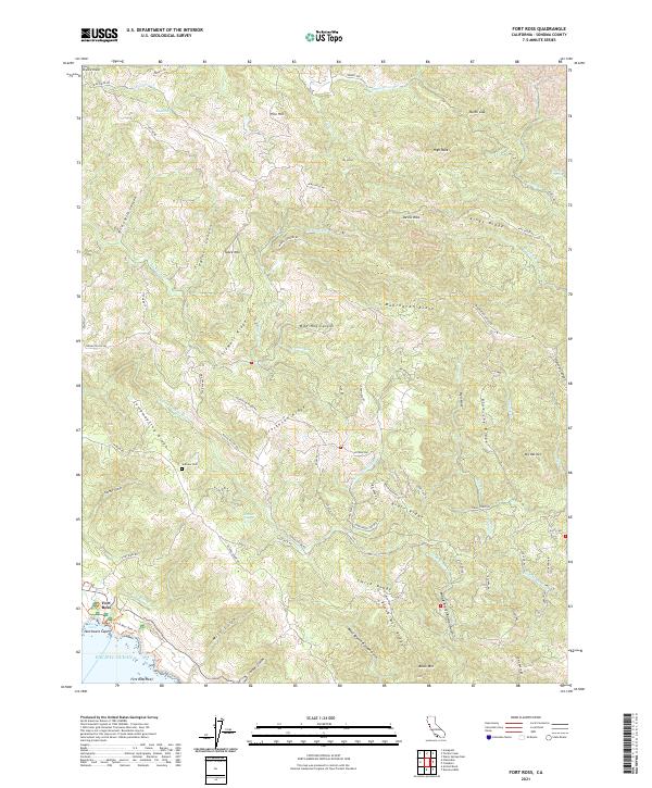 2021 Fort Ross2021 Print · USGSThe Sonoma coast at the start of the 2020s remains a landscape of steep ridges and historic maritime influence near Fort Ross. Researchers can trace old family ranching routes and local history at the Seaview Cem or follow the waters of the S Fork Gualala River.
 - 2021 Map of Warm Springs Dam, 2021 Print
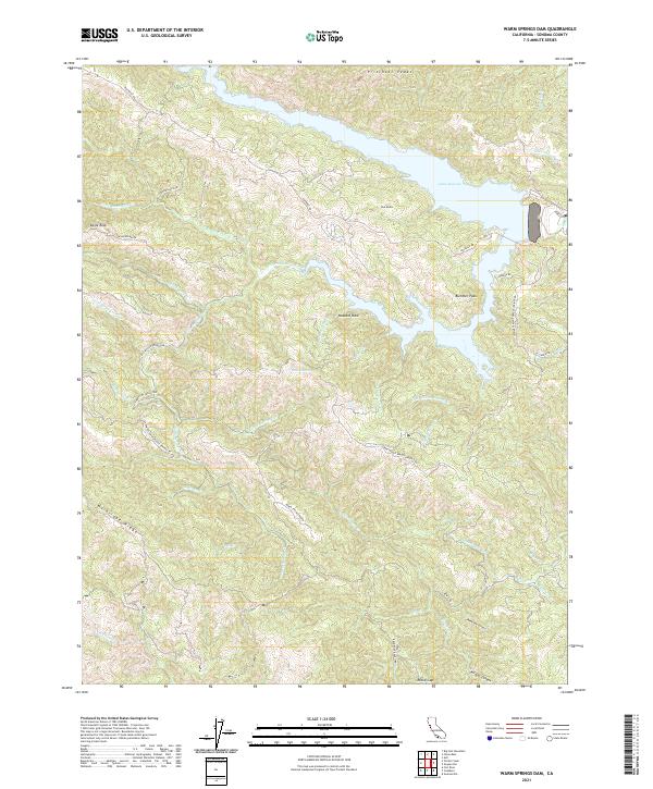 2021 Warm Springs Dam2021 Print · USGSThe Sonoma backcountry is captured here during the twenty-first century, showing the complex shoreline of Lake Sonoma and the surrounding ranch lands. Researchers can trace historic routes like Old Skaggs Springs Rd and find landmarks such as Warm Springs Ranch.
 - 2021 Map of Gualala, 2021 Print
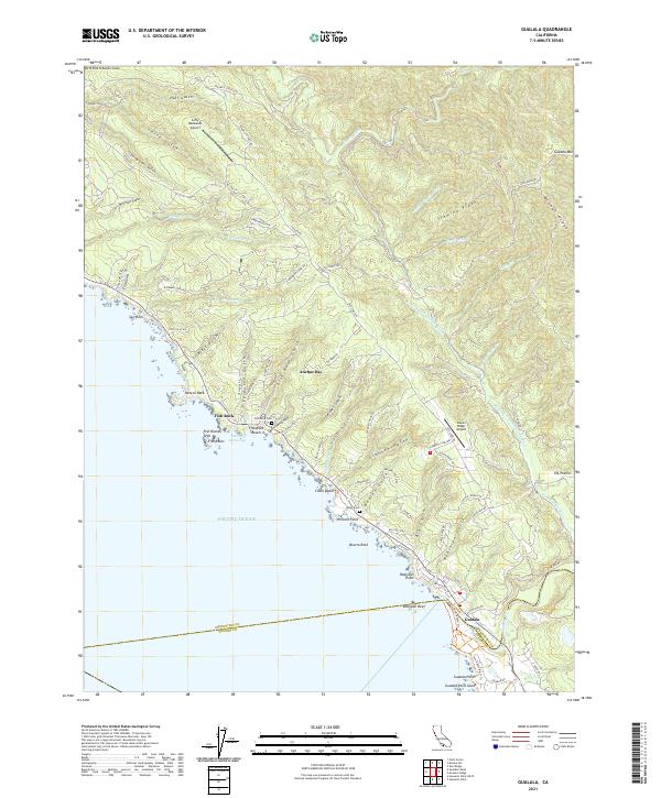 2021 Gualala2021 Print · USGSCoastal Mendocino County as it appeared in 2021 shows a landscape of deep timbered gulches and rugged shorelines between Anchor Bay and Gualala. Researchers can trace local heritage at the Fish Rock Cem or follow historical transit routes along Old Stage Rd and Fish Rock Rd.
 - 2021 Map of Plantation, 2021 Print
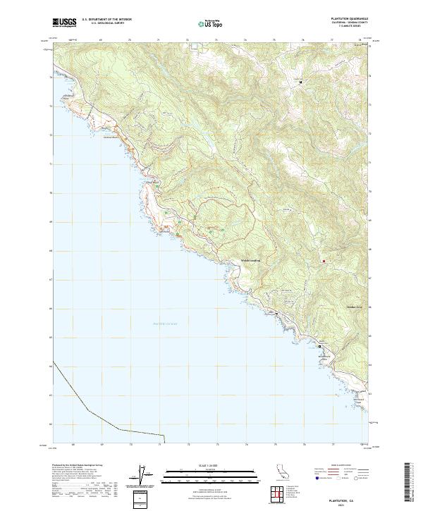 2021 Plantation2021 Print · USGSThe Sonoma coast near Timber Cove is recorded here in detail during the early 2020s, showing a landscape of deep gulches and rocky points. Genealogists and local historians can locate early burial sites like Benitz Ranch Cem and Thomas Cem among the coastal ridges.
 - 2021 Map of Arched Rock, 2021 Print
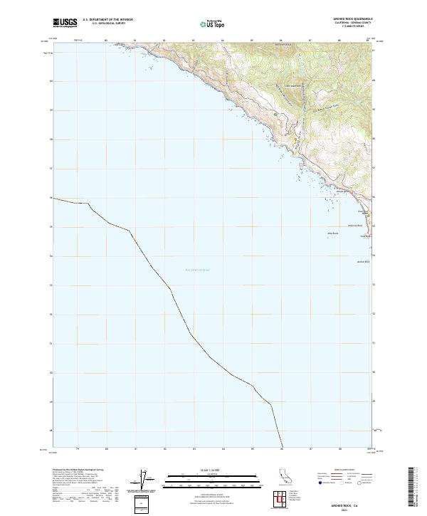 2021 Arched Rock2021 Print · USGSThe Sonoma coast in recent years reveals a dramatic interface between the Pacific and the high ridges of the Coast Ranges. Genealogists and hikers can trace the winding paths of Meyers Grade Rd and the steep terrain around Little Black Mtn and Arched Rock.
 - 2021 Map of Bodega Head, 2021 Print
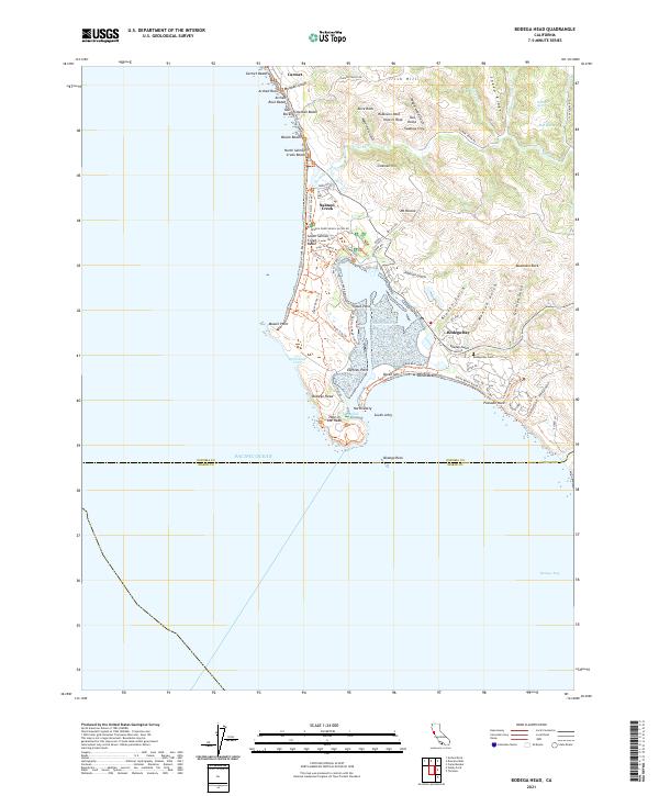 2021 Bodega Head2021 Print · USGSCoastal Sonoma County is captured here in the early 2020s, showing the intersection of maritime life and preserved shoreline. You can trace local landmarks like Bodega Bay Cem and the small settlements of Salmon Creek and Swallow City.
 - 2021 Map of Plantation OE W, 2021 Print
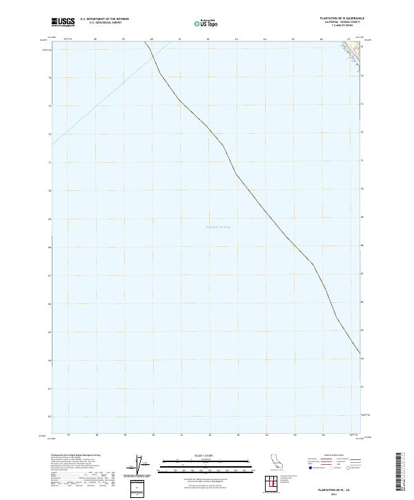 2021 Plantation OE W2021 Print · USGSThe Sonoma County coast meets the open sea in this modern survey of the Northern California shoreline. Researchers can trace the primary township divisions of T11N R14W and T10N R14W as they intersect with the vast Pacific Ocean.
 - 2021 Map of Cloverdale, 2021 Print
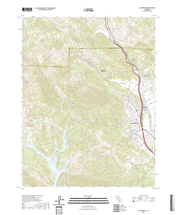 2021 Cloverdale2021 Print · USGSCloverdale and the surrounding Sonoma hills are shown in detail during this period of modern growth. Genealogists and historians can trace the developments along the Russian River, identify burials at Cloverdale Cem, and locate landmarks like Alderglen Springs or the heights of Red Mtn.
 - 2021 Map of Cazadero, 2021 Print
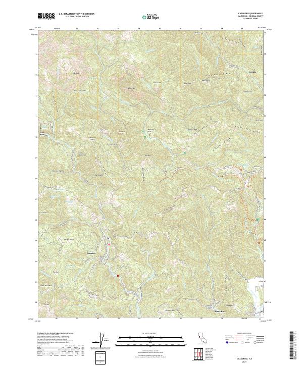 2021 Cazadero2021 Print · USGSIn the western reaches of Sonoma County, this modern survey documents the settlement patterns and complex terrain around Cazadero. Researchers can trace old routes like Old Cazadero Rd and find historic landmarks including Government Spring and Marble Mine Ridge.
 - 2021 Map of Kenwood, 2021 Print
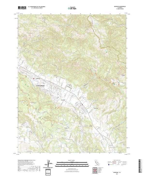 2021 Kenwood2021 Print · USGSSonoma County's eastern ridges and valley floors are captured here in the early twenty-first century as suburban development meets protected peaks. Researchers can identify local landmarks like the Pythian Home Cemetery, the historic Los Guilicos Warm Springs, and the Graywood Ranch Airport.
 - 2021 Map of Mount Saint Helena, 2021 Print
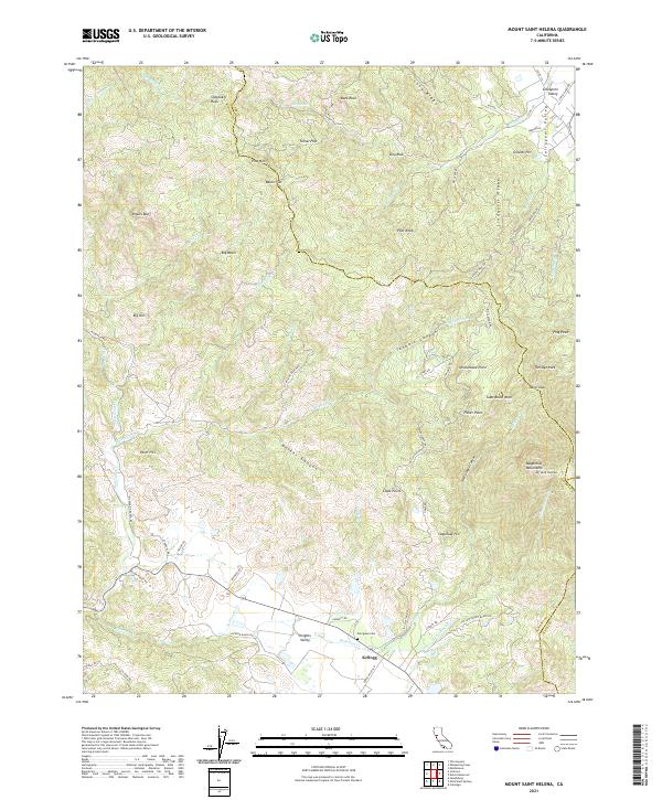 2021 Mount Saint Helena2021 Print · USGSSonoma County's high ridges and thermal landscapes are shown here as they appeared in the early 2020s. Researchers can trace family names and local landmarks from Kellogg and Knights Valley to Evergreen Cem and The Geysers.
 - 2021 Map of Sonoma, 2021 Print
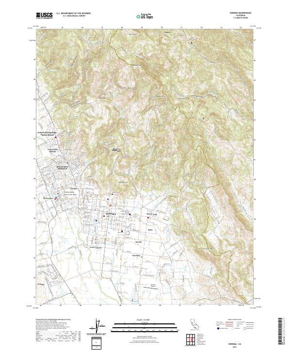 2021 Sonoma2021 Print · USGSSonoma and the surrounding Valley of the Moon are captured here in the early twenty-first century as the region's agricultural and resort heritage continues to evolve. Researchers can locate family sites at Mountain Cem or trace the development of legacy communities like Vineburg and El Verano.
 - 2021 Map of Petaluma River, 2021 Print
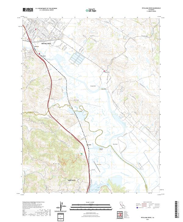 2021 Petaluma River2021 Print · USGSThe Petaluma River valley and its intricate marshlands are captured in this recent survey of the North Bay. Researchers can trace the boundaries of SONOMA CO and MARIN CO while locating landmarks like Gnoss Field, Burdell Mtn, and the riverfront at Lakeville.
 - 2021 Map of The Geysers, 2021 Print
 2021 The Geysers2021 Print · USGSThe high ridges and canyons of the Mayacmas Mountains are documented here in the early twenty-first century. Researchers can trace the footprint of mining-era legacy at Mercuryville and locate family history sites like Cobb Cem near Glenbrook.
 - 2021 Map of Sebastopol, 2021 Print
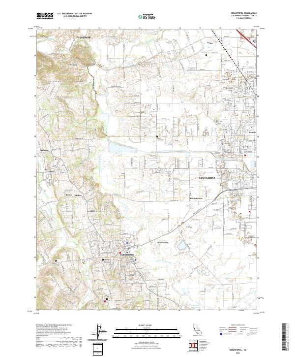 2021 Sebastopol2021 Print · USGSSonoma County's agricultural heartland and growing suburbs are documented here in the early 2020s. Genealogists and local historians can locate family landmarks such as the Steele Family Cem, the settlement at Riccas Corner, and the rural routes near Vine Hill.
 - 2021 Map of Valley Ford, 2021 Print
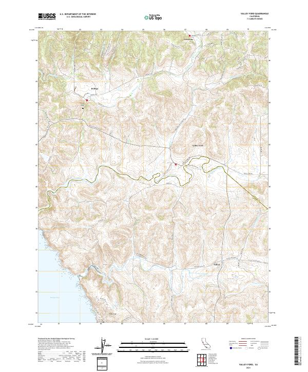 2021 Valley Ford2021 Print · USGSCoastal Sonoma and Marin counties are captured here in the early 2020s, where tidal estuaries meet historic ranching lands. Genealogists and locals can trace family sites near Bodega Calvary Cemetery and the settlements of Bodega and Fallon.
Showing maps 1-25 of 50
Top cities of Sonoma County
- Santa Rosa historical maps
- Petaluma historical maps
- Rohnert Park historical maps
- Windsor historical maps
- Villa Grande historical maps
- Healdsburg historical maps
See more
Frequently asked questions
- What are the different types of historical maps available for Sonoma County?
- What is the oldest map of Sonoma County?
- Where can I purchase historical maps of Sonoma County for my home or office?
- Where can I download high-res historical maps of Sonoma County?
- Are there historical topographic maps available for Sonoma County?
- Is there historical aerial imagery available for Sonoma County?
- Where are historical maps of Sonoma County sourced from?