2000s (21st Century) Maps of Grand County, Colorado
Explore 255 historic maps of Grand County from the 2000s (21st Century). These maps offer a rare glimpse into what life looked like during the 2000s — showing old roads, neighborhoods, homes, and landmarks that have changed or disappeared over time.
Whether you're researching your family's past, planning a metal detecting trip, or studying how Grand County's landscape evolved across the 2000s, these high-resolution maps are a powerful tool for exploring the history of this region.
- Focus on a specific era: All maps on this page are from the 2000s, giving you a focused view of this time period.
- See what’s changed: Compare century-old streets, trails, and buildings to today's modern landscape using overlays and satellite layers.
- Research with precision: Use these maps for genealogy, historical research, land use analysis, or educational projects.
- View, download, or print: Maps are fully viewable online in high resolution, and can be downloaded or printed for your own records.
Start exploring Grand County's history through authentic maps from the 2000s. This is your window into the past.
Grand County, CO maps
(255)- 2000 Map of Corral Peaks, 2004 Print
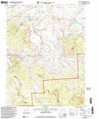
 2000 Corral Peaks2004 Print · USGSGrand County high country is shown here at the turn of the millennium, dominated by the peaks and drainages of the Arapaho National Forest. Researchers can trace old mountain routes like the Hay Park Trail and locate remote sites such as Wheatley Ranch and the East Fork Cow Camp.
 - 2000 Map of Parkview Mountain, 2004 Print
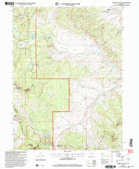
 2000 Parkview Mountain2004 Print · USGSThe high peaks of the Colorado Rockies meet at the turn of the millennium where the Continental Divide crosses the Rabbit Ears Range. Researchers can trace remote alpine routes like the Troublesome Trail or locate the King Mountain Ranch near the county line.
 - 2000 Map of Walton Peak, 2004 Print
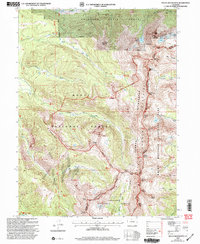
 2000 Walton Peak2004 Print · USGSThe high Divide country of the Southern Rockies is captured here at the turn of the millennium, straddling the Routt and Grand county line. Researchers can trace the protected waters of the Sarvis Creek Wilderness and the ascent to Walton Peak.
 - 2000 Map of Tyler Mountain, 2004 Print
 2000 Tyler Mountain2004 Print · USGSHigh-altitude forest and wilderness areas in Grand and Routt Counties are captured here at the turn of the millennium. Outdoor historians and researchers can trace the Silver Creek Trail, locate the Mc Mahon Res No 2 reservoir, and find the remote Kasdorf site.
 - 2000 Map of Spicer Peak, 2004 Print
 2000 Spicer Peak2004 Print · USGSJackson County ranching and water management are detailed here at the turn of the millennium. Genealogists and historians can trace family land like the Murphy Desert Ranch and follow the intricate Koping Ditch system near Spicer.
 - 2000 Map of Lynx Pass, 2004 Print
 2000 Lynx Pass2004 Print · USGSThe high timber and drainage divides of Routt and Grand counties come into focus at the turn of the millennium. Outdoor historians and researchers can trace the routes through Lynx Pass, the site of a Guard Sta, and across the distinctive Muddy Slide.
 - 2000 Map of Gunsight Pass, 2004 Print
 2000 Gunsight Pass2004 Print · USGSHigh in Grand County at the turn of the millennium, this area shows a landscape of water management and high-country passes. Trace early mineral exploration at Prospect sites near Little Wolford Mountain and follow the irrigation routes of Pickering Ditch and Kirtz Ditch.
 - 2000 Map of Whiteley Peak, 2004 Print
 2000 Whiteley Peak2004 Print · USGSHigh-altitude ranching and wilderness come together in Grand County at the turn of the millennium. Genealogists and local historians can trace legacy holdings like Dietrich Ranch or the Carter Mountain Ranch near the Muddy Valley Sch.
 - 2000 Map of Lake Agnes, 2004 Print
 2000 Lake Agnes2004 Print · USGSThe Rabbit Ears Range and Continental Divide dominate this Colorado high-country landscape at the turn of the century. Trace mountain ranching and timber history through the Smokey Sawmill, Lichen Lodge, and Anderson Ranch.
 - 2000 Map of Mount Werner, 2004 Print
 2000 Mount Werner2004 Print · USGSThe high country of the Routt National Forest is captured here at the turn of the century, centered on the Steamboat Ski Area. Researchers can trace the Continental Divide and locate remote landmarks like Fish Creek Reservoir and Lake Percy.
 - 2000 Map of Rabbit Ears Peak, 2004 Print
 2000 Rabbit Ears Peak2004 Print · USGSThe high ridges and forest boundaries of Jackson County are captured here at the end of the century. Genealogists and local historians can locate early mountain life at the Mc Gowen Homestead and trace the complex border of the Arapaho National Forest.
 - 2000 Map of Gore Mountain, 2004 Print
 2000 Gore Mountain2004 Print · USGSRoutt and Grand Counties are captured here at the turn of the century, showing a high alpine landscape where two national forests meet. Researchers can trace the rugged drainage of Sarvis Creek and the steep terrain surrounding Gore Mountain and the Morrison Divide.
 - 2000 Map of Mount Richthofen, 2004 Print
 2000 Mount Richthofen2004 Print · USGSHigh alpine summits and the Continental Divide define this Colorado landscape at the turn of the millennium. Trace the headwaters of the Michigan River and Illinois River among peaks like Mount Richthofen and the striking Nokhu Crags.
 - 2000 Map of Hyannis Peak, 2004 Print
 2000 Hyannis Peak2004 Print · USGSGrand County at the turn of the century shows a landscape of high-elevation ranching and remote forest trails along the Continental Divide. Researchers can trace historic routes like the Arapaho Ridge Trail or locate landmarks such as Hendricks Ranch and the Matheson Reservoir.
 - 2000 Map of Gore Pass, 2004 Print
 2000 Gore Pass2004 Print · USGSGrand County high country is documented here at the millennium's turn, where national forests and wildlife areas meet. Trace the complex headwaters of Blacktail Creek and locate landmarks like Gore Pass or the steep Devils Slide.
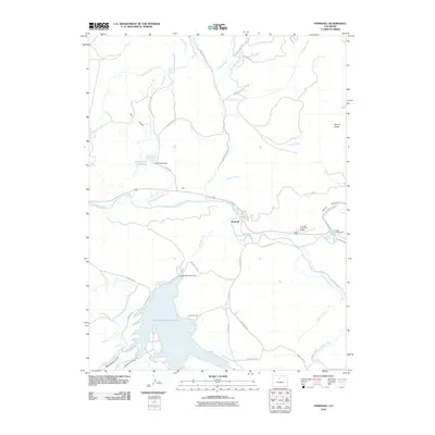
 - 2010 Map of McCoy, 2010 Print
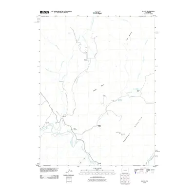 2010 McCoy2010 Print · USGSCovers Grand County, including Copper Spur, McCoy, and other nearby areas
 - 2010 Map of Junction Butte, 2010 Print
 2010 Junction Butte2010 Print · USGSCovers Grand County, including Kremmling, Troublesome, and other nearby areas
 - 2010 Map of McHenrys Peak, 2010 Print
 2010 McHenrys Peak2010 Print · USGSCovers Grand County, including Larimer County, Boulder County, and other nearby areas
 - 2010 Map of Parshall, 2010 Print
 2010 Parshall2010 Print · USGSCovers Grand County, including Parshall, United States, and other nearby areas
 - 2010 Map of Hinman Reservoir, 2010 Print
 2010 Hinman Reservoir2010 Print · USGSCovers Grand County, including United States, Colorado, and other nearby areas
 - 2010 Map of Kremmling, 2010 Print
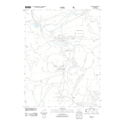
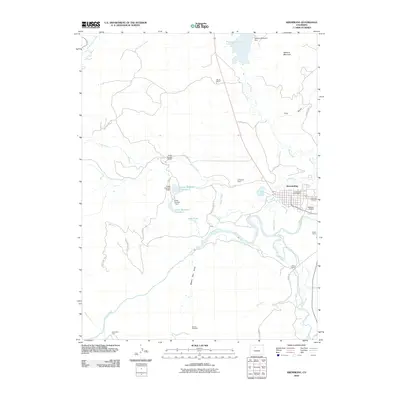 2010 Kremmling2010 Print · USGSCovers Grand County, including Kremmling, United States, and other nearby areas
 - 2011 Map of Isolation Peak, 2011 Print
 2011 Isolation Peak2011 Print · USGSCovers Grand County, including Boulder County, United States, and other nearby areas
 - 2011 Map of Rabbit Ears Peak, 2011 Print
 2011 Rabbit Ears Peak2011 Print · USGSCovers Grand County, including Jackson County, United States, and other nearby areas
 - 2011 Map of Gunsight Pass, 2011 Print
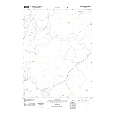
 2011 Gunsight Pass2011 Print · USGSCovers Grand County, including United States, Colorado, and other nearby areas
 - 2011 Map of Granby, 2011 Print
 2011 Granby2011 Print · USGSCovers Grand County, including Granby, Elkdale, and other nearby areas
Showing maps 1-25 of 255
Top cities of Grand County
- Granby historical maps
- Kremmling historical maps
- Fraser historical maps
- Hot Sulphur Springs historical maps
- Grand Lake historical maps
- Tabernash historical maps
Frequently asked questions
- What are the different types of historical maps available for Grand County?
- What is the oldest map of Grand County?
- Where can I purchase historical maps of Grand County for my home or office?
- Where can I download high-res historical maps of Grand County?
- Are there historical topographic maps available for Grand County?
- Is there historical aerial imagery available for Grand County?
- Where are historical maps of Grand County sourced from?