2000s (21st Century) Maps of Hinsdale County, Colorado
Explore 165 historic maps of Hinsdale County from the 2000s (21st Century). These maps offer a rare glimpse into what life looked like during the 2000s — showing old roads, neighborhoods, homes, and landmarks that have changed or disappeared over time.
Whether you're researching your family's past, planning a metal detecting trip, or studying how Hinsdale County's landscape evolved across the 2000s, these high-resolution maps are a powerful tool for exploring the history of this region.
- Focus on a specific era: All maps on this page are from the 2000s, giving you a focused view of this time period.
- See what’s changed: Compare century-old streets, trails, and buildings to today's modern landscape using overlays and satellite layers.
- Research with precision: Use these maps for genealogy, historical research, land use analysis, or educational projects.
- View, download, or print: Maps are fully viewable online in high resolution, and can be downloaded or printed for your own records.
Start exploring Hinsdale County's history through authentic maps from the 2000s. This is your window into the past.
Hinsdale County, CO maps
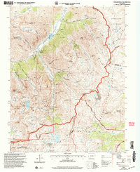
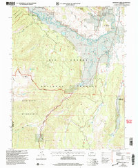
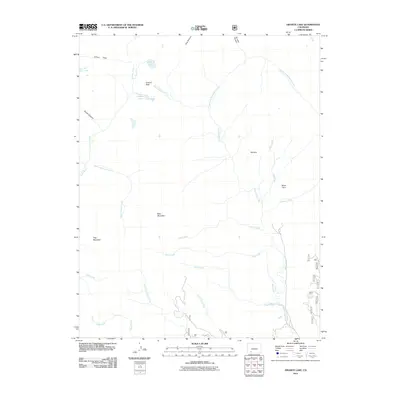
(165)- 2001 Map of Palomino Mountain
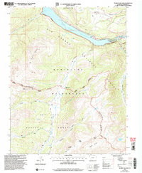
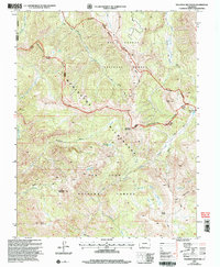 2001 Palomino Mountain2001 Print · USGSThe high alpine crest of the Continental Divide dominates this turn-of-the-millennium survey of the Colorado backcountry. Researchers can trace the headwaters of the Blanco River or locate remote landmarks like Palomino Mountain and Monument Lake.
 - 2001 Map of Cannibal Plateau, 2004 Print
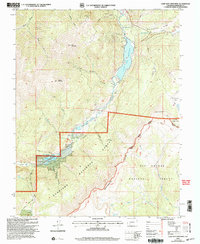
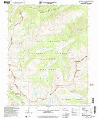
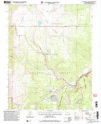 2001 Cannibal Plateau2004 Print · USGSHinsdale County’s high volcanic plateaus remained largely untouched wilderness as the new millennium began. Researchers can trace remote alpine trails and historic land use through labels for Prospects, the Cebolla Road, and landmarks like Hidden Valley.
 - 2001 Map of Redcloud Peak, 2004 Print
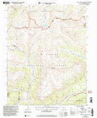
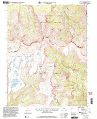
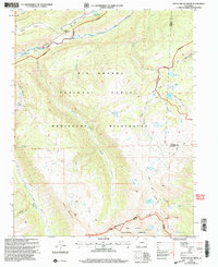
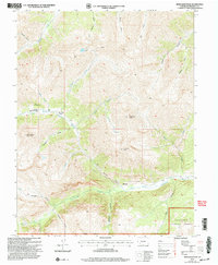 2001 Redcloud Peak2004 Print · USGSHigh in the San Juan Mountains at the turn of the twenty-first century, this survey documents the dramatic terrain surrounding the Sherman settlement. Trace high-altitude mining history through various prospect sites and the winding path of Shelf Road beneath Redcloud Peak.
 - 2001 Map of Mineral Mountain, 2004 Print
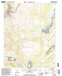
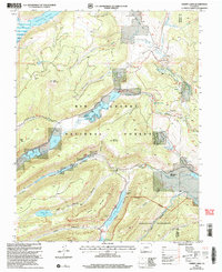
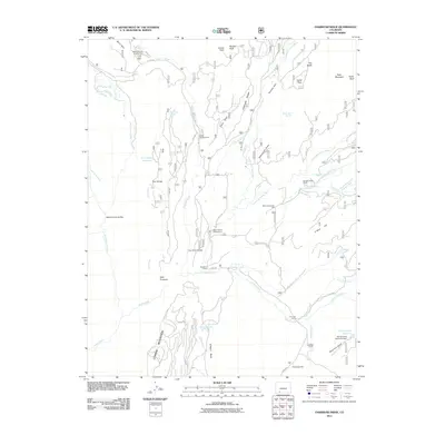
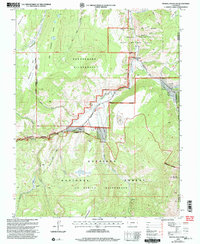 2001 Mineral Mountain2004 Print · USGSHinsdale County at the turn of the millennium was a landscape of massive wilderness tracts and high-mountain outposts. Trace the remote network of pack trails and forest roads connecting Cathedral, Mineral Mountain, and the Powderhorn Wilderness.
 - 2001 Map of Howardsville, 2005 Print
 2001 Howardsville2005 Print · USGSThe high San Juan Mountains are shown here at the turn of the millennium, documenting a landscape where historic mining claims meet federal wilderness. Researchers can trace the legacy of the silver boom through numerous sites like the Old Hundred Mine, Howardsville Cem, and the Pride of the West Mill.
 - 2001 Map of Lake San Cristobal, 2005 Print
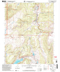
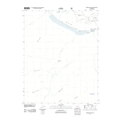
 2001 Lake San Cristobal2005 Print · USGSHigh in the San Juan Mountains around the turn of the millennium, this map documents a landscape of dramatic geology and alpine industry. Genealogists and historians can trace the Slumgullion Slide and early resource markers like the Cem and various high-country Mines.
 - 2001 Map of Pole Creek Mountain, 2005 Print
 2001 Pole Creek Mountain2005 Print · USGSHigh in the San Juan Mountains at the turn of the century, this survey tracks the rugged path of the Continental Divide. Hikers and historians can trace the National Scenic Trail past alpine landmarks like Cataract Lake and early mining prospects near Carson Peak.
 - 2001 Map of Finger Mesa, 2005 Print
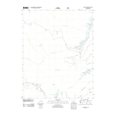
 2001 Finger Mesa2005 Print · USGSHinsdale County's high-country terrain is captured here at the turn of the millennium, showing the intersection of national forest lands and major alpine reservoirs. Researchers can locate remote outposts like Lost Trail Ranch and follow the high path of the Continental Divide past Castle Rock Lake.
 - 2001 Map of Workman Creek, 2005 Print
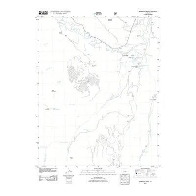
 2001 Workman Creek2005 Print · USGSThe Mineral County high country at the start of the millennium remains a pristine landscape of wilderness and water. Researchers can trace the historic Stock Driveway, locate the Sulphur Tunnel, and follow the Rio Grande as it cuts past Antelope Mountain.
 - 2001 Map of Rio Grande Pyramid, 2005 Print
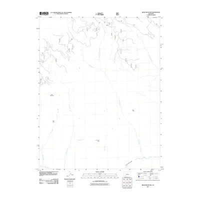
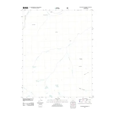
 2001 Rio Grande Pyramid2005 Print · USGSHinsdale County’s high alpine wilderness is captured here at the turn of the twenty-first century, centered on the towering Rio Grande Pyramid. Researchers can trace the Continental Divide past The Window and follow the Bear Town Trail through the high basins.
 - 2001 Map of Baldy Cinco, 2005 Print
 2001 Baldy Cinco2005 Print · USGSHigh Colorado alpine country at the start of the millennium is captured here as a crossroads of wilderness and forest lands. Researchers can trace the path of the Continental Divide National Scenic Trail and locate isolated Prospects near Snow Mesa.
 - 2001 Map of Hermit Lakes, 2005 Print
 2001 Hermit Lakes2005 Print · USGSHinsdale County at the turn of the millennium shows a high-country landscape where mountain ranching and reservoir management meet the wilderness. Researchers can trace the layout of Brown Lakes Estates or locate remote landmarks like San Juan Ranch and Hermit Lakes.
 - 2001 Map of Weminuche Pass, 2005 Print
 2001 Weminuche Pass2005 Print · USGSThe Continental Divide at the start of the new millennium reveals a landscape of high-altitude water engineering and historical transit. Trace the remnants of the Stage Station near Rio Grande Reservoir or follow the Ute Trail to its crossing at Weminuche Pass.
 - 2001 Map of Little Squaw Creek, 2005 Print
 2001 Little Squaw Creek2005 Print · USGSThe high Continental Divide in Hinsdale and Mineral counties remained a wilderness sanctuary at the turn of the millennium. Hikers and researchers can trace high-altitude routes like the Scenic Divide Trail to landmarks like Chief Mountain and Ruby Lake.
 - 2001 Map of Slumgullion Pass, 2005 Print
 2001 Slumgullion Pass2005 Print · USGSThe high alpine terrain of Hinsdale and Mineral Counties is documented here at the turn of the millennium. Researchers can trace the Continental Divide as it winds past the Slumgullion Slide, Spring Creek Pass, and Continental Reservoir.
 - 2010 Map of Powderhorn Lakes, 2010 Print
 2010 Powderhorn Lakes2010 Print · USGSCovers Hinsdale County, including Gunnison County, United States, and other nearby areas
 - 2011 Map of Lake San Cristobal, 2011 Print
 2011 Lake San Cristobal2011 Print · USGSCovers Hinsdale County, including United States, Colorado, and other nearby areas
 - 2011 Map of Bear Mountain, 2011 Print
 2011 Bear Mountain2011 Print · USGSCovers Hinsdale County, including Archuleta County, United States, and other nearby areas
 - 2011 Map of Workman Creek, 2011 Print
 2011 Workman Creek2011 Print · USGSCovers Hinsdale County, including Mineral County, United States, and other nearby areas
 - 2011 Map of Weminuche Pass, 2011 Print
 2011 Weminuche Pass2011 Print · USGSCovers Hinsdale County, including United States, Colorado, and other nearby areas
 - 2011 Map of Rio Grande Pyramid, 2011 Print
 2011 Rio Grande Pyramid2011 Print · USGSCovers Hinsdale County, including La Plata County, San Juan County, and other nearby areas
 - 2011 Map of Granite Lake, 2011 Print
 2011 Granite Lake2011 Print · USGSCovers Hinsdale County, including United States, Colorado, and other nearby areas
 - 2011 Map of Oakbrush Ridge, 2011 Print
 2011 Oakbrush Ridge2011 Print · USGSCovers Hinsdale County, including Mineral County, Archuleta County, and other nearby areas
 - 2011 Map of Finger Mesa, 2011 Print
 2011 Finger Mesa2011 Print · USGSCovers Hinsdale County, including United States, Colorado, and other nearby areas
 - 2011 Map of Redcloud Peak, 2011 Print
 2011 Redcloud Peak2011 Print · USGSCovers Hinsdale County, including United States, Colorado, and other nearby areas
Showing maps 1-25 of 165
Top cities of Hinsdale County
Frequently asked questions
- What are the different types of historical maps available for Hinsdale County?
- What is the oldest map of Hinsdale County?
- Where can I purchase historical maps of Hinsdale County for my home or office?
- Where can I download high-res historical maps of Hinsdale County?
- Are there historical topographic maps available for Hinsdale County?
- Is there historical aerial imagery available for Hinsdale County?
- Where are historical maps of Hinsdale County sourced from?