2000s (21st Century) Maps of Gulf County, Florida
Explore 102 historic maps of Gulf County from the 2000s (21st Century). These maps offer a rare glimpse into what life looked like during the 2000s — showing old roads, neighborhoods, homes, and landmarks that have changed or disappeared over time.
Whether you're researching your family's past, planning a metal detecting trip, or studying how Gulf County's landscape evolved across the 2000s, these high-resolution maps are a powerful tool for exploring the history of this region.
- Focus on a specific era: All maps on this page are from the 2000s, giving you a focused view of this time period.
- See what’s changed: Compare century-old streets, trails, and buildings to today's modern landscape using overlays and satellite layers.
- Research with precision: Use these maps for genealogy, historical research, land use analysis, or educational projects.
- View, download, or print: Maps are fully viewable online in high resolution, and can be downloaded or printed for your own records.
Start exploring Gulf County's history through authentic maps from the 2000s. This is your window into the past.
Gulf County, FL maps
(102)- 2012 Map of White City, 2012 Print
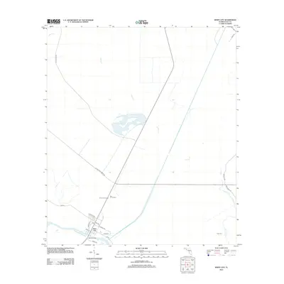 2012 White City2012 Print · USGSGulf County's coastal lowlands and timber tracts are captured in this 2012 survey during a period of modern infrastructure development. Researchers can trace family-named roads like Mace Martin Rd, locate the Saint Joe Fire Tower, and explore the waterfront around White City.
 - 2012 Map of Beacon Hill, 2012 Print
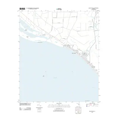 2012 Beacon Hill2012 Print · USGSThe Florida Panhandle coast near the turn of the decade shows a blend of beachside communities and extensive wetlands. Researchers can trace local landmarks like the Saint Joseph Bay Light or explore the street layouts of Mexico Beach and Beacon Hill.
 - 2012 Map of Cape San Blas, 2012 Print
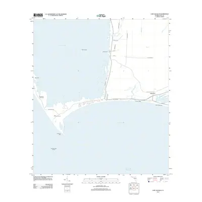 2012 Cape San Blas2012 Print · USGSThe Gulf County coastline and the curved barrier of the cape are captured in detail during the early 2010s. Researchers can trace the layout of waterfront settlements like Indian Pass and Money Beach or locate the historic Cape San Blas Lighthouse.
 - 2012 Map of Overstreet, 2012 Print
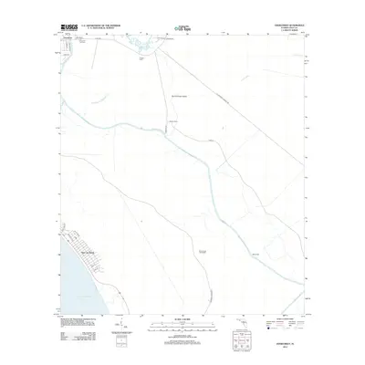 2012 Overstreet2012 Print · USGSCoastal Florida is mapped in the early twenty-first century just as the timber-and-waterway economy meets seaside development. Researchers can trace land heritage at the Sharp Hardy Homestead or explore historical camps and landmarks like Ringjaw Camp and the Overstreet Fire Tower.
 - 2012 Map of Port Saint Joe, 2012 Print
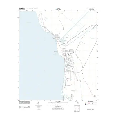 2012 Port Saint Joe2012 Print · USGSPort Saint Joe and the surrounding coastal communities are captured here in the early twenty-first century as they border the waters of Saint Joseph Bay. Genealogists and local historians can trace family locations through Oak Grove, Milltown, and the headstones of Forest Hill Cem.
 - 2012 Map of Indian Pass, 2012 Print
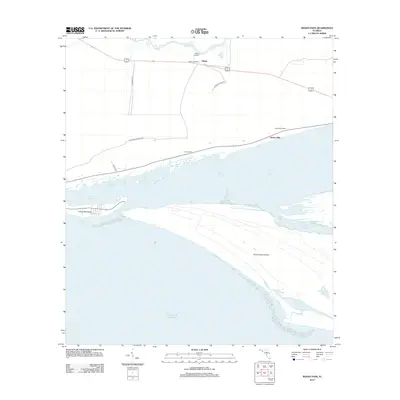 2012 Indian Pass2012 Print · USGSThe Florida Panhandle coast near Odena is captured here during the early twenty-first century, showcasing the delicate balance of lagoon and sound. Genealogists and historians can trace coastal settlements like Eleven Mile and landmarks such as the Odena Fire Tower.
 - 2012 Map of Saint Joseph Peninsula, 2012 Print
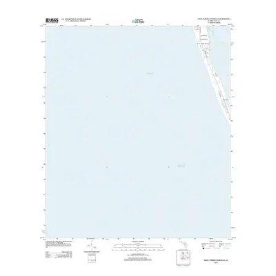 2012 Saint Joseph Peninsula2012 Print · USGSThe Florida Panhandle shoreline in the early 2010s is captured here as development clusters along the narrow Saint Joseph Peninsula. Local historians and property researchers can trace modern road layouts such as Cape San Blas Rd and Seacliff Dr near Saint Josephs Bay.
 - 2012 Map of Saint Joseph Point, 2012 Print
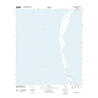 2012 Saint Joseph Point2012 Print · USGSThe Florida panhandle's barrier island system is captured in the early 2010s, showcasing the narrow landmass between the Gulf and the bay. Researchers can trace the coastline from Saint Joseph Point down to residential areas along Cape San Blas Rd.
 - 2012 Map of Lake Wimico, 2012 Print
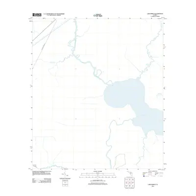 2012 Lake Wimico2012 Print · USGSGulf County's watery landscape is captured in this 2012 survey, where the great expanse of the coast meets complex inland waterways. Researchers can trace the legacy of regional transport via the Old Niles Tramroad and the winding course of Depot Cr and Searcy Cr.
 - 2012 Map of Forbes Island, 2012 Print
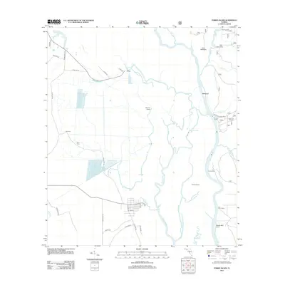 2012 Forbes Island2012 Print · USGSThe Apalachicola River basin in the early 2010s shows a complex web of waterways and isolated islands. You can trace the river's impact on local life through sites like the Brown and Smith Cem and various historic river access points such as Brickyard and Hickory Landing.
 - 2012 Map of Jackson River, 2012 Print
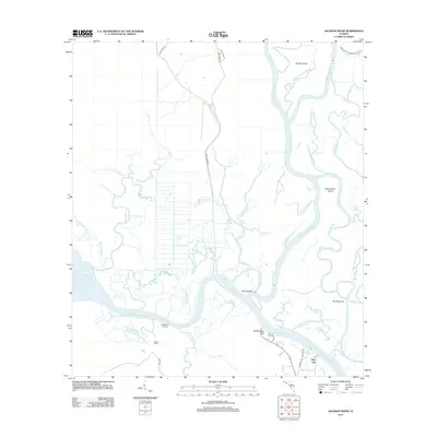 2012 Jackson River2012 Print · USGSThe Florida Panhandle river delta is shown here in the early twenty-first century, where the Apalachicola and Jackson Rivers weave through marsh and cypress. Local historians can trace the remote waterfronts of Bay City and Huckleberry Landing or locate landmarks like Old Womans Bluff.
 - 2012 Map of North of Allanton, 2012 Print
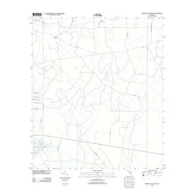 2012 North of Allanton2012 Print · USGSBay County, Florida, at the start of the 2010s reveals a landscape of winding coastal bayous and managed pine lands. Researchers can trace family sites at Kent Cem or follow the historic drainage paths of Cooks Bayou and the California Swamp.
 - 2012 Map of Wetappo Creek, 2012 Print
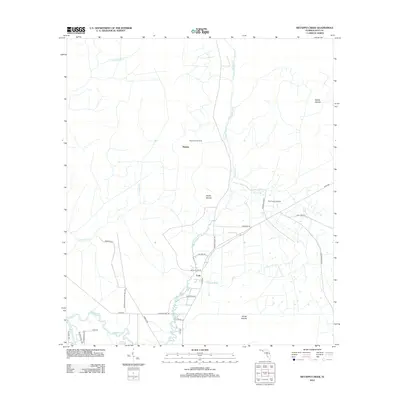 2012 Wetappo Creek2012 Print · USGSIn the Florida Panhandle during the early 2010s, this area of Gulf County shows a landscape of wetlands and timber-related settlements. Researchers can trace the rural communities of Majette and Early, as well as distinctive landmarks like Fico Farms Airport and the Wetappo Side Camp.
 - 2012 Map of Allanton, 2012 Print
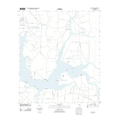 2012 Allanton2012 Print · USGSCoastal Florida in the early 2010s reveals a intricate landscape of bayous and wetlands surrounding East Bay. Genealogists and local historians can locate Farmdale Cem and trace the development of settlements like Allanton and Farmdale.
 - 2012 Map of Orange, 2012 Print
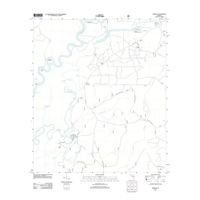 2012 Orange2012 Print · USGSThe river-driven culture of Liberty County is preserved here, showing the intricate wetlands of the Florida panhandle. You can trace the roads to Larkin Fish Camp, locate family burials at Humility Cem, and find old river landings like Porter Landing.
 - 2012 Map of Tenmile Swamp, 2012 Print
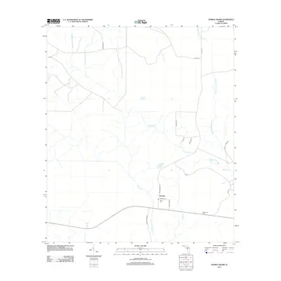 2012 Tenmile Swamp2012 Print · USGSGulf County’s coastal lowlands are documented here in the early twenty-first century, centered on the settlement of Wetappo. Researchers can trace local genealogy and land use through sites like Wetappo Cem, Kemp Cem, and the Wetappo Fire Tower.
 - 2012 Map of Wewahitchka, 2012 Print
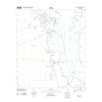 2012 Wewahitchka2012 Print · USGSThe river-rich landscape of the Florida Panhandle is captured here in the early twenty-first century as it centers on the Chipola River corridor. Genealogists can locate several burial sites including Williamsburg Cem and explore old landings like Burgess Landing.
 - 2012 Map of Kennedy Creek, 2012 Print
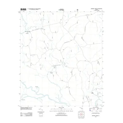 2012 Kennedy Creek2012 Print · USGSFlorida's riverine heartland is captured here in the early twenty-first century, showing the intricate wetlands where the Apalachicola and Chipola rivers meet. Trace river landings and camps like Owl Landing, White Oak Landing, and the Graveyard Pole Lookout.
 - 2012 Map of Dead Lakes, 2012 Print
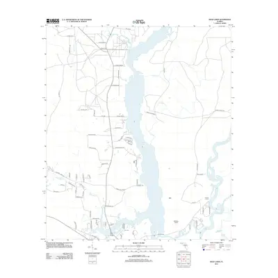 2012 Dead Lakes2012 Print · USGSThe Florida Panhandle river system is captured here in the early twenty-first century, showing the complex wetlands of the Dead Lakes. Genealogists and local historians can locate the Jehu Cem and trace the small riverfront communities at Iola and Chipola Park.
 - 2015 Map of Dead Lakes, 2015 Print
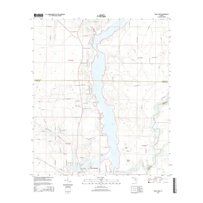 2015 Dead Lakes2015 Print · USGSWewahitchka and the surrounding river systems are captured in this mid-2010s survey of the Gulf County wetlands. Researchers can trace the layout of Iola, locate the Jehu Cem, and map the winding courses of the Chipola River and Apalachicola River.
 - 2015 Map of Jackson River, 2015 Print
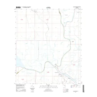 2015 Jackson River2015 Print · USGSThe Florida Panhandle river delta is captured here in the mid-2010s, showing the complex intersection of the Apalachicola River and the Intracoastal Waterway. Researchers can trace the waterfront settlement at Bay City and find local landmarks like Old Womans Bluff and The Pinhook.
 - 2015 Map of Forbes Island, 2015 Print
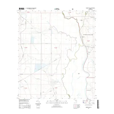 2015 Forbes Island2015 Print · USGSThe riverine borders of Franklin, Gulf, and Liberty counties come alive in this mid-2010s survey of the Apalachicola basin. Researchers can trace family roots at Brown and Smith Cem or explore the wetland geography of Forbes Island and Brickyard.
 - 2015 Map of Lake Wimico, 2015 Print
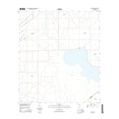 2015 Lake Wimico2015 Print · USGSGulf County in the early twenty-first century remains a landscape defined by the vast waters of Lake Wimico and its surrounding wetlands. Researchers can trace the heritage of local industry through old transportation routes like the Old Niles Tramroad, Old Logging Rd, and Searcy Creek.
 - 2015 Map of Port Saint Joe, 2015 Print
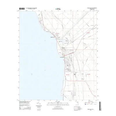 2015 Port Saint Joe2015 Print · USGSPort Saint Joe and the surrounding Gulf County coast are captured here in a period of modern development and industrial legacy. Researchers can trace the layout of Milltown, locate the Forest Hill Cem, and follow the path of the Gulf County Canal.
 - 2015 Map of Beacon Hill, 2015 Print
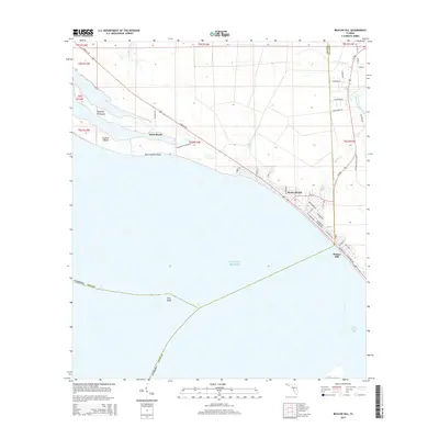 2015 Beacon Hill2015 Print · USGSThe Florida Panhandle coast near the Bay and Gulf county line is captured here in the mid-2010s, showing the settled grids of Mexico Beach and Beacon Hill. Researchers can trace the shoreline geography of Crooked Island Sound or locate family-named landmarks like Joe Lamb Br and the residential streets of Davis Beach.
Showing maps 1-25 of 102
Top cities of Gulf County
Frequently asked questions
- What are the different types of historical maps available for Gulf County?
- What is the oldest map of Gulf County?
- Where can I purchase historical maps of Gulf County for my home or office?
- Where can I download high-res historical maps of Gulf County?
- Are there historical topographic maps available for Gulf County?
- Is there historical aerial imagery available for Gulf County?
- Where are historical maps of Gulf County sourced from?