2020s Maps of Cassia County, Idaho
Explore 136 historic maps of Cassia County from the 2020s. These maps offer a rare glimpse into what life looked like during the 2020s — showing old roads, neighborhoods, homes, and landmarks that have changed or disappeared over time.
Whether you're researching your family's past, planning a metal detecting trip, or studying how Cassia County's landscape evolved across the 2020s, these high-resolution maps are a powerful tool for exploring the history of this region.
- Focus on a specific era: All maps on this page are from the 2020s, giving you a focused view of this time period.
- See what’s changed: Compare century-old streets, trails, and buildings to today's modern landscape using overlays and satellite layers.
- Research with precision: Use these maps for genealogy, historical research, land use analysis, or educational projects.
- View, download, or print: Maps are fully viewable online in high resolution, and can be downloaded or printed for your own records.
Start exploring Cassia County's history through authentic maps from the 2020s. This is your window into the past.
Cassia County, ID maps
(136)- 2020 Map of Yost, 2020 Print
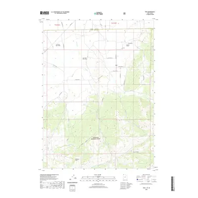 2020 Yost2020 Print · USGSThe remote settlement of Yost is captured here at the base of the Raft River Mountains during the twenty-first century. Researchers can trace local lineage at Yost Cem or explore the rugged drainage of the Sawtooth National Forest via George Creek Rd.
 - 2020 Map of Kelton Pass, 2020 Print
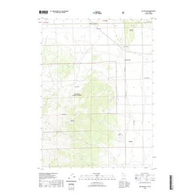 2020 Kelton Pass2020 Print · USGSThe Utah-Idaho borderlands come into focus in this recent survey of Box Elder and Cassia counties. Researchers can trace the high-country landscape of the Sawtooth National Forest, locating remote landmarks like Emigrant Spring and the settlement of Hardup.
 - 2020 Map of Curlew Junction, 2020 Print
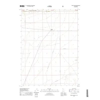 2020 Curlew Junction2020 Print · USGSThe Idaho-Utah borderlands near Curlew Junction are captured here as they appeared in 2020. Researchers can trace the rugged intersection of Sawtooth National Forest and Curlew Valley through landmarks like Pilot Spring.
 - 2020 Map of Rosevere Point, 2020 Print
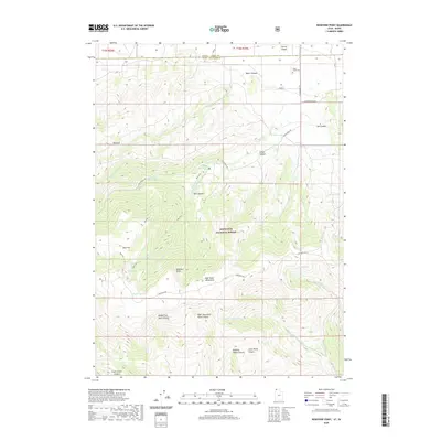 2020 Rosevere Point2020 Print · USGSThe high peaks of the Raft River Mountains meet the Idaho border in this recent survey of northern Box Elder County. Researchers can locate the Clear Creek Cem or trace high-country landmarks like Rosevere Point and Bull Lake.
 - 2020 Map of Cotton Thomas Basin, 2020 Print
 2020 Cotton Thomas Basin2020 Print · USGSHigh mountain passes and remote basins define this borderland between Utah and Idaho in the late twenty-teens. Researchers can trace historic access routes and industrial features like the Phelan Tunnel, Granite Pass, and Horse Heaven Gulch.
 - 2020 Map of Pole Creek, 2020 Print
 2020 Pole Creek2020 Print · USGSHigh in the mountains along the Utah-Idaho border during the late twenty-teens, this survey shows a remote ranching and watershed landscape. Trace the rugged terrain of the Goose Creek Mountains and find mountain routes like Goose Creek Rd and E Vipont Rd.
 - 2020 Map of Standrod, 2020 Print
 2020 Standrod2020 Print · USGSStandrod sits on the Idaho-Utah border in this contemporary record of the Raft River Mountains and the Sawtooth National Forest. Researchers can trace remote high-country water sources and terrain features like Dipping Vat Spring, George Peak, and Mike Bernetta Hollow.
 - 2020 Map of Buck Hollow, 2020 Print
 2020 Buck Hollow2020 Print · USGSRemote ranching country along the Utah-Idaho border is documented here in the early twenty-first century as it sits between the high mountain ranges. Genealogists and local historians can locate the Junction Cem and trace the small community of Lynn near the Sawtooth National Forest.
 - 2020 Map of Chokecherry Canyon, 2020 Print
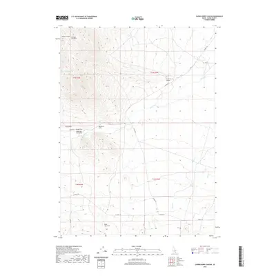 2020 Chokecherry Canyon2020 Print · USGSSouthern Idaho's high-desert basin is captured here in the modern era, centered on the strategic passage of the Raft River Valley. You can trace the rugged drainage patterns of the Jim Sage Mountains and locate remote landmarks like Womack Canyon Spring and The Narrows.
 - 2020 Map of Bridge, 2020 Print
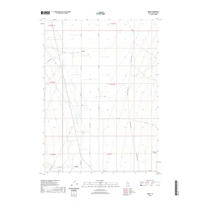 2020 Bridge2020 Print · USGSCassia County's southern agricultural landscape is revealed here in the 2020s, centered on the Raft River Valley. Genealogists and historians can trace family land near the Olson Cem and the rural settlements of Bridge and Keogh.
 - 2020 Map of Kane Canyon, 2020 Print
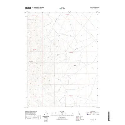 2020 Kane Canyon2020 Print · USGSCassia County, Idaho, is documented here in the early twenty-first century as a landscape of high-desert ranching and mountain peaks. Researchers can trace land use through the Ward Sheep Ranch Rd and locate key water sources like Red Rock Spring and Kane Spring.
 - 2020 Map of Trapper Peak, 2020 Print
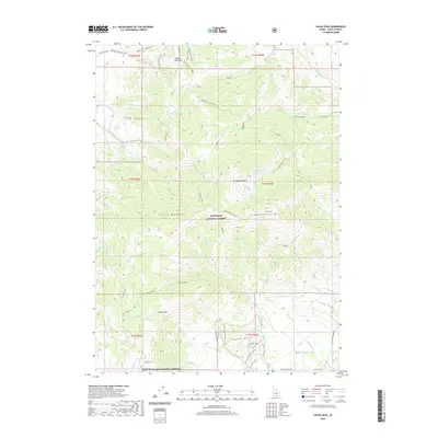
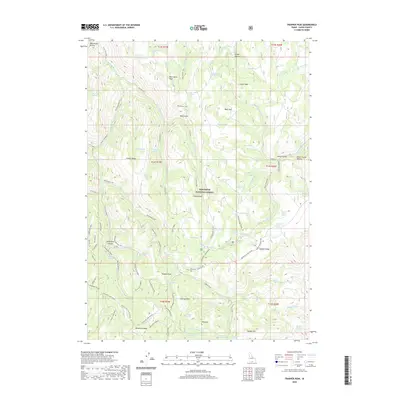 2020 Trapper Peak2020 Print · USGSHigh in the Idaho backcountry during the early twenty-first century, this map shows a landscape of named summits and seasonal trails within the Sawtooth National Forest. Researchers can trace old mountain routes like Monument Peak Road and locate remote landmarks such as Freds Mound or Wahlstrom Hollow.
 - 2020 Map of Milner Butte, 2020 Print
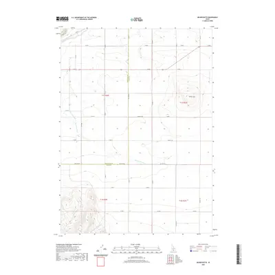 2020 Milner Butte2020 Print · USGSSouthern Idaho agricultural and desert landscapes meet at the county line in this 2020 survey. Genealogists and researchers can trace the reach of the Twin Falls Main Canal and locate family landmarks like Milner Butte and Big Cottonwood Cr.
 - 2020 Map of Mount Harrison, 2020 Print
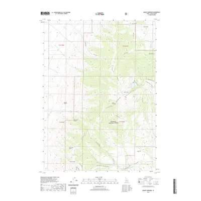 2020 Mount Harrison2020 Print · USGSMount Harrison and the high Albion Mountains stand at the center of this modern-day survey of Cassia County. Researchers can trace the high-elevation Skyline Trail, locate the Mt Harrison Lookout, or explore the canyonlands around Clyde Flat.
 - 2020 Map of Lake Walcott SE, 2020 Print
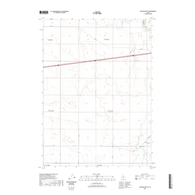 2020 Lake Walcott SE2020 Print · USGSCassia County, Idaho, is documented here in the early twenty-first century as a landscape of wide-open range and river drainage. Genealogists and local historians can trace the course of the Raft River near Heglar Canyon and along old routes like Yale Rd.
 - 2020 Map of Black Pine Peak, 2020 Print
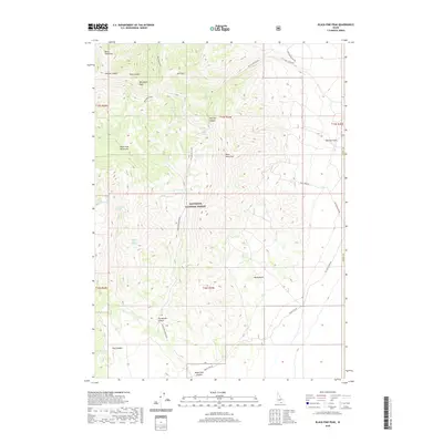 2020 Black Pine Peak2020 Print · USGSThe high peaks of Cassia County are captured in this recent survey of the Idaho backcountry. Researchers can trace the water sources and access routes through the Sawtooth National Forest, locating landmarks like War Eagle Peak and Formation Springs.
 - 2020 Map of Lake Walcott West, 2020 Print
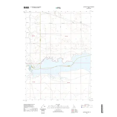 2020 Lake Walcott West2020 Print · USGSThe Snake River Plain in the early twenty-first century is defined by its massive water-control projects and sprawling ranch lands. Genealogists and researchers can trace the irrigation network of the Main North Side Canal and locate the rural site of Hawley.
 - 2020 Map of Sandrock Canyon, 2020 Print
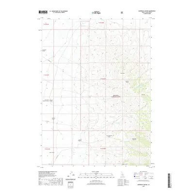 2020 Sandrock Canyon2020 Print · USGSSoutheast Idaho's high mountain terrain is documented here in the early twenty-first century, showing the intersection of forest lands and rugged canyons. Researchers can trace historic water sources like Boosinger Spring and navigate the remote reaches of Hutchey Canyon and Mill Fork.
 - 2020 Map of Malta NE, 2020 Print
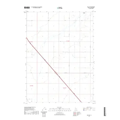 2020 Malta NE2020 Print · USGSCassia County's agricultural and transit corridor is captured here in the contemporary era as the Raft River meanders across the valley floor. Researchers can trace the geometric evolution of the landscape through the intersection of Interstate 84 and historic local routes like Idahome Rd and 800 South Rd.
 - 2020 Map of Jim Sage Canyon, 2020 Print
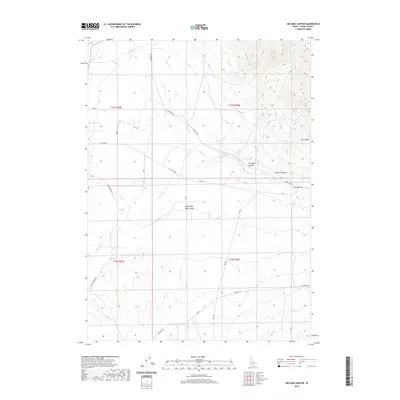 2020 Jim Sage Canyon2020 Print · USGSThe Upper Raft River Valley of southern Idaho is shown here in the contemporary era, mapped with its vital spring-fed hydrology and canyon systems. Researchers can trace land-use patterns through features like Jim Sage Spring, the geographic bottleneck at The Narrows, and the course of the Raft River.
 - 2020 Map of Pike Mountain, 2020 Print
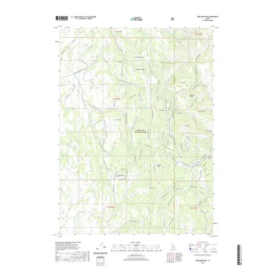 2020 Pike Mountain2020 Print · USGSTwin Falls and Cassia counties are seen here in the recent past, showcasing the extensive network of snow loops and high-country springs within the Sawtooth National Forest. Outdoor historians can trace routes like the Kirkham Connector or locate landmarks such as Pike Mountain and Thoroughbred Flat.
 - 2020 Map of Gifford Spring, 2020 Print
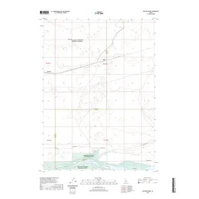 2020 Gifford Spring2020 Print · USGSThe Snake River Plain in southern Idaho comes to life here, showing the intersection of historic pioneer routes and volcanic wilderness. Trace the path of the Oregon Trail as it passes near the Wapi Flow and the quiet rail sidings at Wapi and DeWoff.
 - 2020 Map of Oakley, 2020 Print
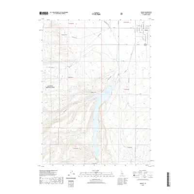 2020 Oakley2020 Print · USGSOakley and the surrounding high desert terrain are captured here in the contemporary era as the town borders the forest. Researchers can trace irrigation networks like West Canal and family-named landmarks such as Mullen Ranch Rd and Cowboy Spring.
 - 2020 Map of Blue Hill, 2020 Print
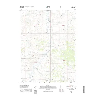 2020 Blue Hill2020 Print · USGSThe high country of Cassia County is captured here in the early twenty-first century, showcasing the intersection of the Sawtooth National Forest and local ranching lands. Researchers can trace the water network from Goose Cr to remote points like Worthington Spring and Devine Canyon.
 - 2020 Map of Cache Peak, 2020 Print
 2020 Cache Peak2020 Print · USGSHigh in the Albion Mountains during the late twenty-first century, this Idaho landscape transitions from national forest to national reserve. Researchers can trace historic pathways and high-altitude water sources like Elba Pass, Logger Spring, and the Skyline Trail.
Showing maps 1-25 of 136
Top cities of Cassia County
- Burley historical maps
- Oakley historical maps
- Declo historical maps
- Albion historical maps
- Malta historical maps
Frequently asked questions
- What are the different types of historical maps available for Cassia County?
- What is the oldest map of Cassia County?
- Where can I purchase historical maps of Cassia County for my home or office?
- Where can I download high-res historical maps of Cassia County?
- Are there historical topographic maps available for Cassia County?
- Is there historical aerial imagery available for Cassia County?
- Where are historical maps of Cassia County sourced from?