2020s Maps of Franklin County, Idaho
Explore 51 historic maps of Franklin County from the 2020s. These maps offer a rare glimpse into what life looked like during the 2020s — showing old roads, neighborhoods, homes, and landmarks that have changed or disappeared over time.
Whether you're researching your family's past, planning a metal detecting trip, or studying how Franklin County's landscape evolved across the 2020s, these high-resolution maps are a powerful tool for exploring the history of this region.
- Focus on a specific era: All maps on this page are from the 2020s, giving you a focused view of this time period.
- See what’s changed: Compare century-old streets, trails, and buildings to today's modern landscape using overlays and satellite layers.
- Research with precision: Use these maps for genealogy, historical research, land use analysis, or educational projects.
- View, download, or print: Maps are fully viewable online in high resolution, and can be downloaded or printed for your own records.
Start exploring Franklin County's history through authentic maps from the 2020s. This is your window into the past.
Franklin County, ID maps
(51)- 2020 Map of Naomi Peak, 2020 Print
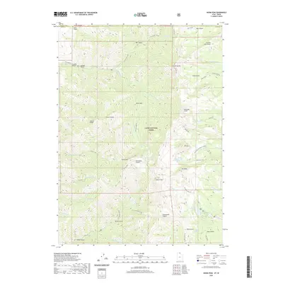 2020 Naomi Peak2020 Print · USGSCache County high country is shown here in the 2020s, dominated by the peaks and alpine basins of the Cache National Forest. Hikers and geologists can trace the routes around Naomi Peak and Mt Magog, or locate remote waters like White Pine Lake and Crescent Lake.
 - 2020 Map of Trenton, 2020 Print
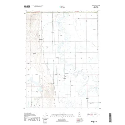 2020 Trenton2020 Print · USGSCache Valley agriculture and river geography are captured here in this recent survey of the Utah-Idaho borderlands. Researchers can trace family roots through the Trenton Cem and Newton Cemetery or locate the rural hubs of Amalga and Cornish.
 - 2020 Map of Clarkston, 2020 Print
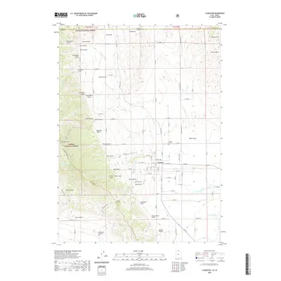 2020 Clarkston2020 Print · USGSThe Cache Valley and its rugged western ridges are captured here in the contemporary era. Researchers can trace family history through the Clarkston City Cem and James Barnet Cole Burial Ground, or explore the terrain of Clarkston Mtn and Hammond Flat.
 - 2020 Map of Tony Grove Creek, 2020 Print
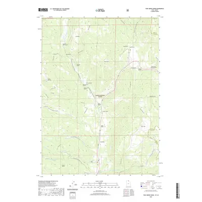 2020 Tony Grove Creek2020 Print · USGSHigh in the Bear River Range during the early twenty-first century, this area of the Cache National Forest shows a landscape defined by winter sports and high-altitude hydrology. You can trace historical sites like the Steam Mill and navigate landmarks such as Peter Sinks, Selman Reservoir, and Beaver Mountain.
 - 2020 Map of Richmond, 2020 Print
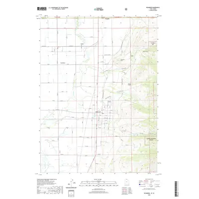 2020 Richmond2020 Print · USGSThe Cache Valley at the Idaho-Utah border shows a well-established agricultural and mountain landscape in the modern era. Genealogists and local historians can locate Lewiston City Cem, Richmond City Cem, and trace the industrial legacy of the City Creek Mine.
 - 2020 Map of Thatcher, 2020 Print
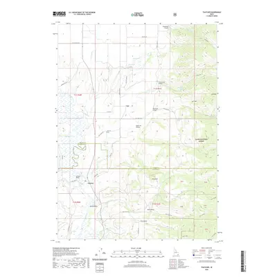 2020 Thatcher2020 Print · USGSFranklin County's high-desert valleys and mountain foothills are captured here in the contemporary era, highlighting the long-standing irrigation networks of Gentile Valley. Researchers can locate family landmarks like the Lago Cem and trace the paths of Gentile Valley Canal through Thatcher and Mound Valley.
 - 2020 Map of Treasureton, 2020 Print
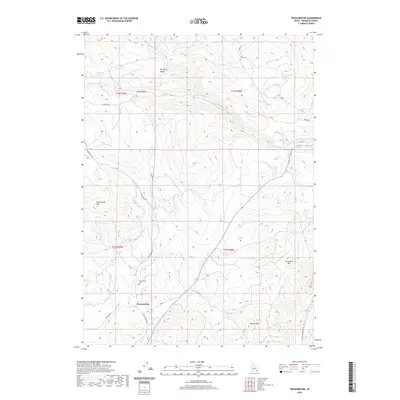 2020 Treasureton2020 Print · USGSFranklin County's high valleys and irrigation networks are shown in detail here in the early twenty-first century. Genealogists and local historians can trace family land near Treasureton, Stock Valley, and the Treasureton Cemetery.
 - 2020 Map of Mink Creek, 2020 Print
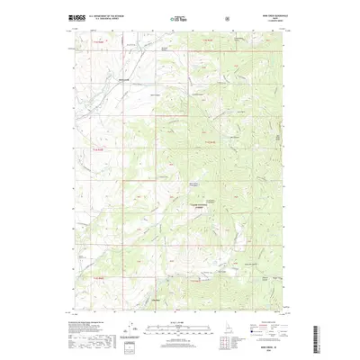 2020 Mink Creek2020 Print · USGSFranklin County's high-country settlements and canyon irrigation systems are documented here in the modern era. Genealogists and historians can trace routes like the Shoshone Indian Trail or locate family landmarks near Mink Creek and Glendale.
 - 2020 Map of Banida, 2020 Print
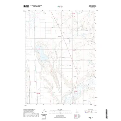 2020 Banida2020 Print · USGSFranklin County's agricultural heartland is documented here in the early twenty-first century as a landscape defined by its irrigation and river networks. Researchers can trace the layout of Dayton and Clifton or locate Wayland Hot Springs and Oxford Slough.
 - 2020 Map of Malad Summit, 2020 Print
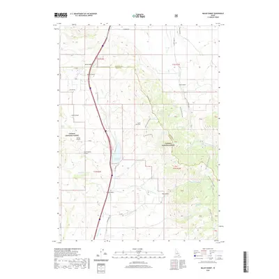 2020 Malad Summit2020 Print · USGSSoutheastern Idaho's mountain passes and forest lands are captured here in the years following the turn of the millennium. Researchers can trace the alignment of N Old Highway 191 and locate vital water sources like Devil Creek Reservoir and Heath Spring.
 - 2020 Map of Riverdale, 2020 Print
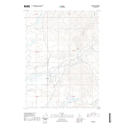 2020 Riverdale2020 Print · USGSRiverdale and the Bear River valley are shown in detail here during the late twenty-teens. Researchers can trace the sophisticated irrigation network through the Twin Lakes Canal and locate rural landmarks like Oneida Narrows and Glendale Reservoir.
 - 2020 Map of Franklin, 2020 Print
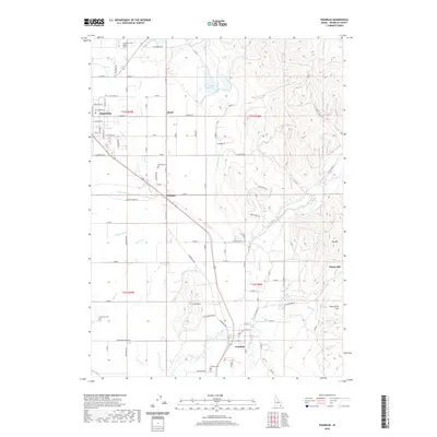 2020 Franklin2020 Print · USGSFranklin County's agricultural heartland is documented here in the early twenty-first century, showing the enduring grid of Preston and Franklin. Genealogists can locate family sites at Preston Cemetery and Whitney Cemetery or trace the essential waters of Cub Canal and Lamont Reservoir.
 - 2020 Map of Mapleton, 2020 Print
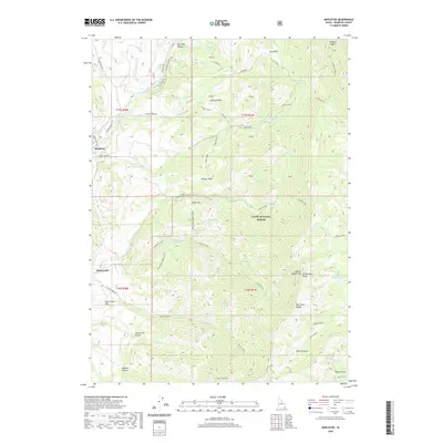 2020 Mapleton2020 Print · USGSFranklin County's high-country borders are revealed in this study of the mountains and valleys just north of the state line. Trace the irrigation network from the Cub River Worm Cr Canal to the small settlements of Mapleton and Cherryville.
 - 2020 Map of Clifton, 2020 Print
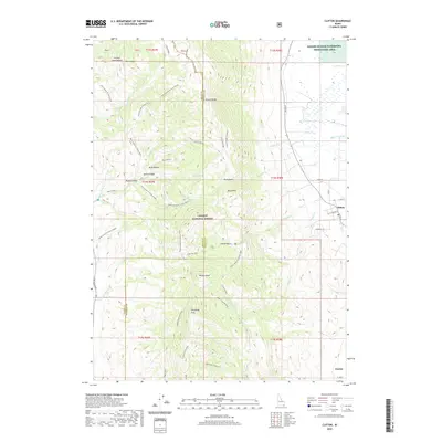 2020 Clifton2020 Print · USGSFranklin County's western edge transitions from the mountain heights of S Oxford Peak to the wetlands of the Oxford Slough in the recent era. Genealogists and hikers can trace local routes like Cemetery Rd and the Ruben Hollow To Davis Basin trail through the Caribou National Forest.
 - 2020 Map of Weston, 2020 Print
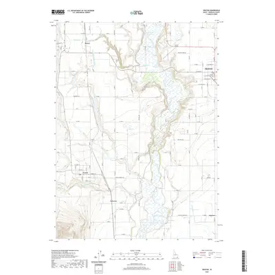 2020 Weston2020 Print · USGSFranklin County's agricultural heartland is documented here in the early twenty-first century, showing the irrigation-led growth of Preston and Weston. Genealogists and historians can trace local landmarks from the Franklin County Courthouse to rural Anderson and Squaw Springs.
 - 2020 Map of Paris Peak, 2020 Print
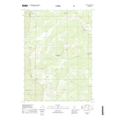 2020 Paris Peak2020 Print · USGSThe Bear River Range in Idaho comes into sharp focus during this recent 2020 survey of high-elevation forest lands. Researchers can trace the historic Shoshone Indian Trail and explore family-named landmarks like Harrys Hollow or Paris Flat.
 - 2020 Map of Egan Basin, 2020 Print
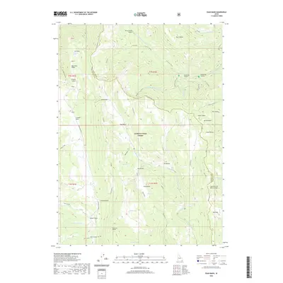 2020 Egan Basin2020 Print · USGSThe Bear River Range comes into sharp focus in this 2020 survey of the Idaho high country. Researchers can trace historic mountain routes like the Old Logan Rd and Danish Pass while locating remote water sources such as Blue Lake and Cub Basin Spring.
 - 2020 Map of Thatcher Hill, 2020 Print
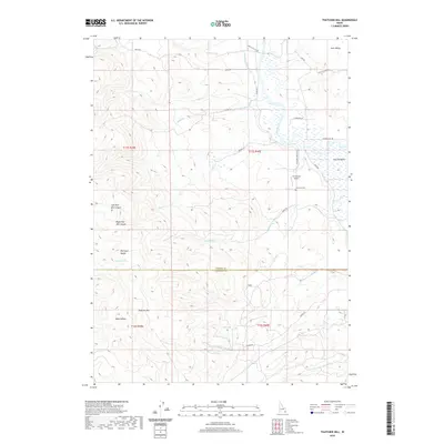 2020 Thatcher Hill2020 Print · USGSSoutheastern Idaho ranching and river geography are captured here in 2020 at the border of Franklin and Caribou Counties. Trace the course of the Bear River through Gentile Valley or locate local landmarks like Thatcher Cemetery and Thatcher Hill.
 - 2020 Map of Oxford, 2020 Print
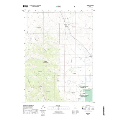 2020 Oxford2020 Print · USGSThe settlements of Oxford and Swanlake lie along the edge of the Caribou National Forest in this contemporary portrait of Franklin County. Genealogists and researchers can locate family sites near the Oxford Cem and trace the drainage patterns of Oxford Slough and Oxford Reservoir.
 - 2020 Map of Cottonwood Peak, 2020 Print
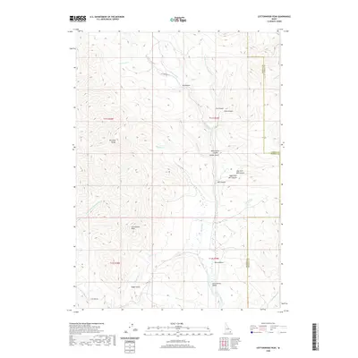 2020 Cottonwood Peak2020 Print · USGSBannock County and the high Portneuf Range are captured here in the early twenty-first century as a landscape of managed water and rugged peaks. Researchers can trace the path of the Treasureton Canal or locate local landmarks like Cottonwood Peak and Mine Hollow.
 - 2020 Map of Midnight Mountain, 2020 Print
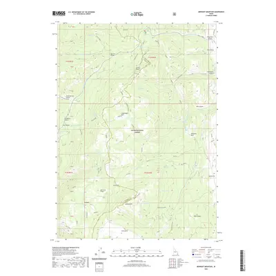 2020 Midnight Mountain2020 Print · USGSHigh in the Bear River Range at the turn of the twenty-first century, this landscape straddles the Franklin and Bear Lake county line. Researchers can trace the water sources and trails that shaped local land use, from Carlson Mill to the remote Relief Society Hollow and Green Pass.
 - 2020 Map of Oneida Narrows Reservoir, 2020 Print
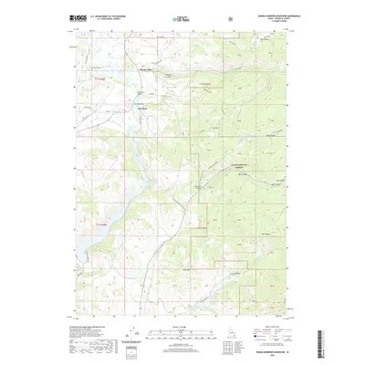 2020 Oneida Narrows Reservoir2020 Print · USGSFranklin County's high-country landscape is documented here in the early twenty-first century, showing the small settlements and water infrastructure of the Bear River area. Researchers can locate Cleveland Cem, find McGregors Bridge, and trace the paths to Maple Grove Hot Springs.
 - 2020 Map of Weston Canyon, 2020 Print
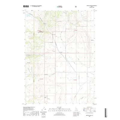 2020 Weston Canyon2020 Print · USGSFranklin County's high-country terrain and the valley settlement of Dayton are shown here as they appeared in the early twenty-first century. Researchers can trace rural property boundaries and remote landmarks like Standing Rock or the Weston Creek Reservoir.
 - 2020 Map of Swan Lake, 2020 Print
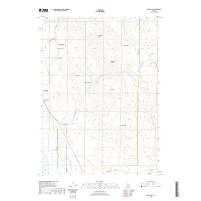 2020 Swan Lake2020 Print · USGSThe Swan Lake region is captured here as a landscape of high ridges and valley wetlands during the early twenty-first century. Genealogists and researchers can trace local family land use around Poverty Flats, Oxford Slough, and the foothills of the Portneuf Range.
 - 2020 Map of North Canyon, 2020 Print
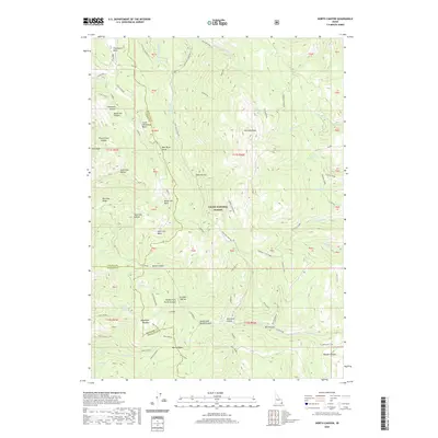 2020 North Canyon2020 Print · USGSThe high Idaho backcountry of the Bear River Range is documented here during the early twenty-first century. Researchers can trace remote water sources and high-altitude landmarks like Loa Lake, Tie Camp Spring, and the slopes of Sherman Peak.
Showing maps 1-25 of 51
Top cities of Franklin County
- Preston historical maps
- Franklin historical maps
- Dayton historical maps
- Weston historical maps
- Clifton historical maps
- Oxford historical maps
Frequently asked questions
- What are the different types of historical maps available for Franklin County?
- What is the oldest map of Franklin County?
- Where can I purchase historical maps of Franklin County for my home or office?
- Where can I download high-res historical maps of Franklin County?
- Are there historical topographic maps available for Franklin County?
- Is there historical aerial imagery available for Franklin County?
- Where are historical maps of Franklin County sourced from?