2000s (21st Century) Maps of Calhoun County, Illinois
Explore 76 historic maps of Calhoun County from the 2000s (21st Century). These maps offer a rare glimpse into what life looked like during the 2000s — showing old roads, neighborhoods, homes, and landmarks that have changed or disappeared over time.
Whether you're researching your family's past, planning a metal detecting trip, or studying how Calhoun County's landscape evolved across the 2000s, these high-resolution maps are a powerful tool for exploring the history of this region.
- Focus on a specific era: All maps on this page are from the 2000s, giving you a focused view of this time period.
- See what’s changed: Compare century-old streets, trails, and buildings to today's modern landscape using overlays and satellite layers.
- Research with precision: Use these maps for genealogy, historical research, land use analysis, or educational projects.
- View, download, or print: Maps are fully viewable online in high resolution, and can be downloaded or printed for your own records.
Start exploring Calhoun County's history through authentic maps from the 2000s. This is your window into the past.
Calhoun County, IL maps
(76)- 2011 Map of Clarksville, 2011 Print
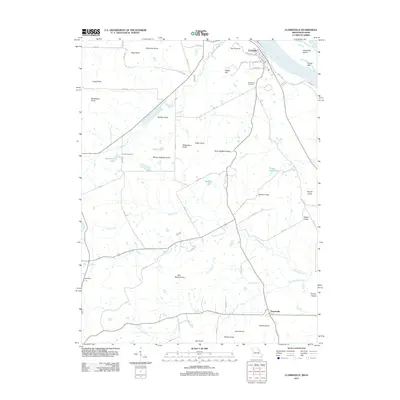 2011 Clarksville2011 Print · USGSUpper Mississippi River riverfront and the prominent knobs of Pike County are shown here in the early twenty-first century. Researchers can trace family history through landmarks like Greenwood Cemetery and numerous named peaks such as Marion Mackey Knob and Ben Watts Knob.
 - 2011 Map of Annada, 2011 Print
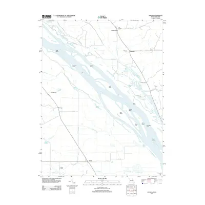 2011 Annada2011 Print · USGSThe riverfront and floodplain south of Clarksville are mapped here in the early twenty-first century. Genealogists and local historians can trace family-named features and rural sites like Long Cemetery, Riprap Landing, and the settlement of Annada.
 - 2011 Map of Foley, 2011 Print
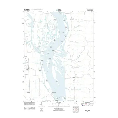 2011 Foley2011 Print · USGSThe Mississippi River bottoms near the Missouri-Illinois border are revealed here just after the turn of the century. Genealogists and local historians can trace family roots at Wilson Cemetery or explore old river sites like Sterling Landing and Kritesville.
 - 2012 Map of Kampville, 2012 Print
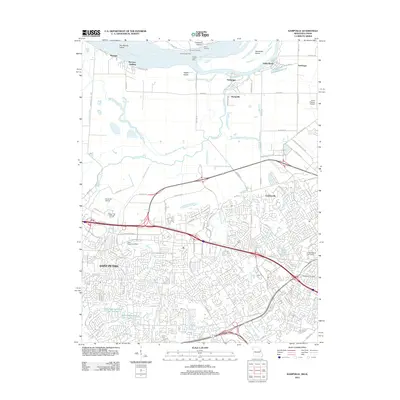 2012 Kampville2012 Print · USGSGreater St. Charles was undergoing significant suburban and industrial growth when this survey was conducted. Researchers can trace the layout of Saint Peters, locate the Methodist Cemetery, and find historic river landings like McCann and Dixon Landing.
 - 2012 Map of Winfield, 2012 Print
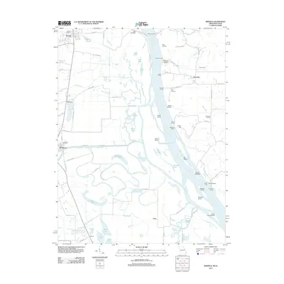 2012 Winfield2012 Print · USGSThe Missouri-Illinois borderlands come into focus in the early twenty-first century, documenting a riverine landscape of shifting islands and historic ferry crossings. Genealogists and historians can trace family locations near Old Monroe, the West Point Ferry, and the Old Monroe Mounds.
 - 2012 Map of Kampsville, 2012 Print
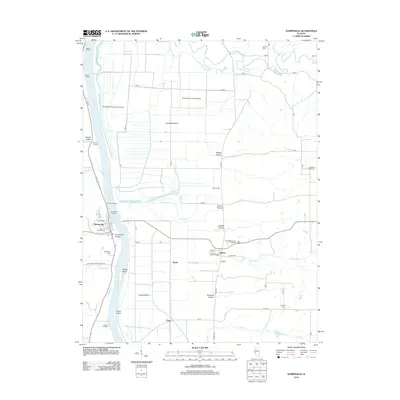 2012 Kampsville2012 Print · USGSThe Illinois River valley in the early 2010s remains a landscape defined by its floodplains, bluffs, and river-dependent settlements. Researchers can trace family history through numerous burial grounds like Saint Anselm Cem and Eldred Cem, or locate local landmarks like Fairbanks Ranch and Kampsville Landing.
 - 2012 Map of Pearl West, 2012 Print
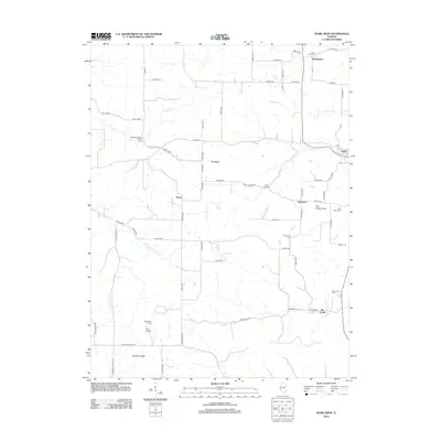 2012 Pearl West2012 Print · USGSPike County in the early twenty-first century reveals a landscape of enduring rural settlements and family-named landmarks. Genealogists and local historians can trace the locations of Green Pond Cem, the community at Old Pearl, and the landing at Bee Creek.
 - 2012 Map of Pearl East, 2012 Print
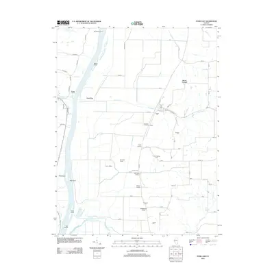 2012 Pearl East2012 Print · USGSThe Illinois River bottoms and neighboring bluffs come alive in this Pike County survey, showing a landscape of small airstrips and family-named hollows. Genealogists can locate several rural burial grounds like Shelton Cemetery and Parr Cemetery, or trace roots near Grand Pass and McClay Orchard.
 - 2012 Map of Nutwood, 2012 Print
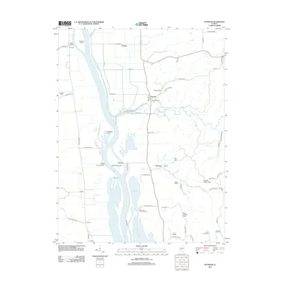 2012 Nutwood2012 Print · USGSThe Illinois River floodplain and Jersey County bluffs are captured here in the early twenty-first century. Researchers can trace land use near Nutwood and locate local landmarks such as Smith Cem, Hadley Landing Public Access Area, and Upper Stump Lake.
 - 2012 Map of Pleasant Dale Valley, 2012 Print
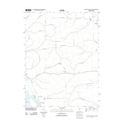 2012 Pleasant Dale Valley2012 Print · USGSCalhoun County's riverfront and bluff-bound hollows are shown here in the early twenty-first century, just as the landscape remained shaped by its rugged geography. Researchers can trace family history at Retzer Cem and Hillcrest Cem or locate rural sites like Mozier Landing and the Herrens Bess Hollow Airfield.
 - 2012 Map of Hamburg, 2012 Print
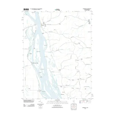 2012 Hamburg2012 Print · USGSAlong the Illinois-Missouri border in the early 2010s, the river landscape remains defined by its islands and historic ferry crossings. Researchers can trace family sites like Mount Hope Cem and follow the old river ways through Old Westport Landing and Hamburg.
 - 2012 Map of Pleasant Hill West, 2012 Print
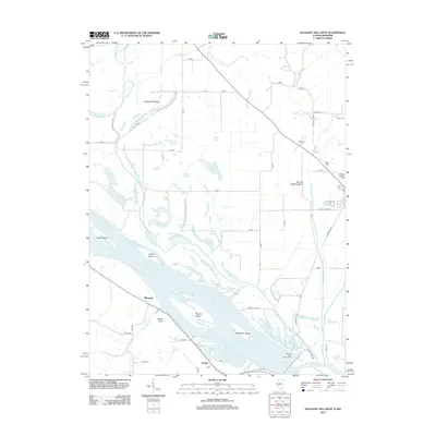 2012 Pleasant Hill West2012 Print · USGSThe Mississippi River floodplain in western Pike County is shown here during a period of modern water management and agricultural stability. Researchers can locate family burial sites at Crescent Heights Cem and Wells Cem or trace old river landings near McIntosh and Roblee.
 - 2012 Map of Grafton, 2012 Print
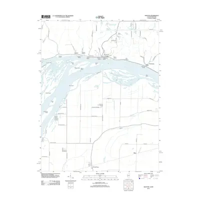 2012 Grafton2012 Print · USGSAlong the Illinois and Mississippi river junction in the early 2010s, this area shows a unique blend of riverfront bluffs and expansive lowlands. Researchers can trace the Deer Plain Ferry crossing and find family sites like Barweis Cem and the Orchard Farm settlement.
 - 2012 Map of Brussels, 2012 Print
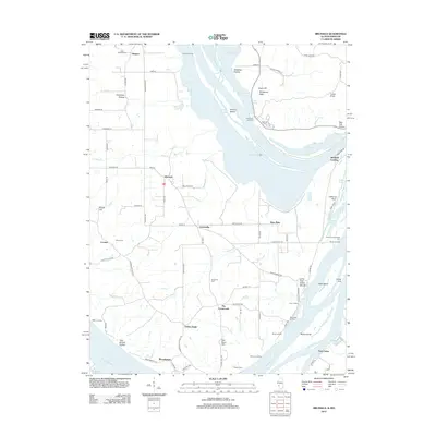 2012 Brussels2012 Print · USGSThe peninsula between the Mississippi and Illinois Rivers is captured here in the early twenty-first century. Genealogists can trace family roots through numerous sites like Saint Josephs Cem or locate historic river access points such as Fulkerson Landing and Marshall Landing.
 - 2012 Map of Hardin, 2012 Print
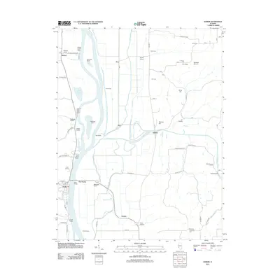 2012 Hardin2012 Print · USGSThe Illinois River valley comes into sharp focus in the early twenty-first century, showing the levee systems and landings that define river life. Genealogists can locate several family burial sites including Varble Cem and Gunterman Cem, or trace the roads through Spankey and Reddish.
 - 2012 Map of Pleasant Hill East, 2012 Print
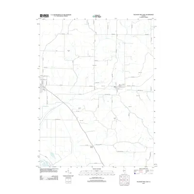 2012 Pleasant Hill East2012 Print · USGSPike County agricultural lands and small-town life are documented here in the early twenty-first century. Genealogists can trace family names through numerous burial grounds like Neese Cem and Hollis Cem near Nebo.
 - 2014 Map of Annada, 2014 Print
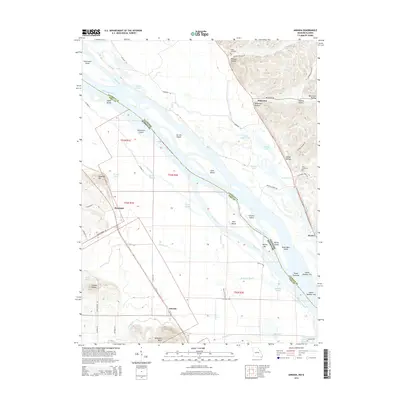 2014 Annada2014 Print · USGSThe Mississippi River valley along the Missouri-Illinois border is captured here in the early twenty-first century. Researchers can trace the river's complex island system and find local landmarks from Annada and Kissenger to Long Cemetery and Saltpeter Bluff.
 - 2014 Map of Clarksville, 2014 Print
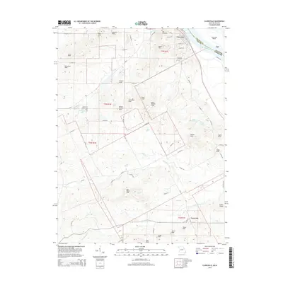 2014 Clarksville2014 Print · USGSThe riverfront town of Clarksville and the rural community of Paynesville are captured here as they appeared in the early twenty-first century. Researchers can trace numerous family-named landmarks like Ben Watts Knob and find local burial sites at Corinth Cemetery or Greenwood Cemetery.
 - 2015 Map of Kampville, 2015 Print
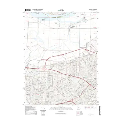 2015 Kampville2015 Print · USGSSt. Charles County at the peak of its modern expansion shows a complex landscape of river geography and suburban development. Genealogists can locate family sites near Oak Grove Cemetery, the campus of Lindenwood University, or historic river landings like McCann Landing.
 - 2015 Map of Foley, 2015 Print
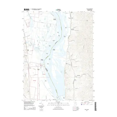 2015 Foley2015 Print · USGSThe Mississippi River valley and the bluffs of Illinois and Missouri are captured here in the mid-2010s. Genealogists and local historians can locate several burial grounds like Saint Barbara Cemetery and Stonebraker Cemetery, alongside river settlements such as Batchtown and Foley.
 - 2015 Map of Winfield, 2015 Print
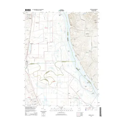 2015 Winfield2015 Print · USGSThe riverfront borderlands of Lincoln and St. Charles counties are shown here as they appeared in 2015. Local historians can trace family roots at Winfield Cemetery or explore the geography of river settlements like Old Monroe, Firma, and Beechville.
 - 2015 Map of Grafton, 2015 Print
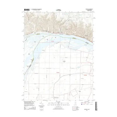 2015 Grafton2015 Print · USGSThe river confluence near the Illinois-Missouri border is shown here in the mid-2010s, where the bluffs of Jersey County meet the Missouri bottomlands. Trace the local geography from the hollows of Grafton to the riverside resort at Chautauqua and the rural reaches of Orchard Farm.
 - 2015 Map of Brussels, 2015 Print
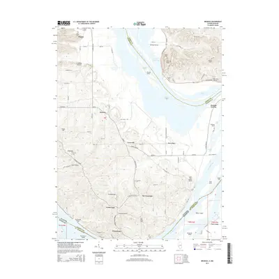 2015 Brussels2015 Print · USGSThe peninsula between the Illinois and Mississippi Rivers is shown here in the mid-2010s, capturing a landscape defined by water and high bluffs. Researchers can trace local heritage at Saint Josephs Cem, the Lone Tree Indian Mound, and landings like Marshall Landing.
 - 2015 Map of Nutwood, 2015 Print
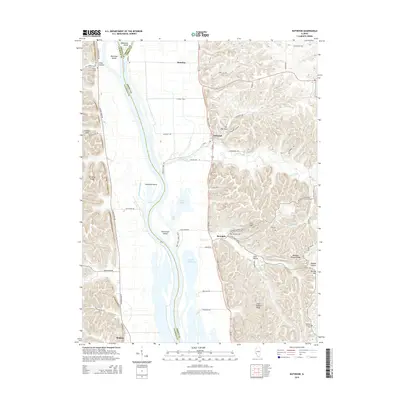 2015 Nutwood2015 Print · USGSThe Illinois River bluffs in Jersey and Calhoun counties are shown here in modern detail, where the river meets a landscape of ridge-top cemeteries and floodplain lakes. Researchers can trace family history at Rosedale Cem or explore the river's edge near Nutwood and Twelvemile Island.
 - 2015 Map of Pearl West, 2015 Print
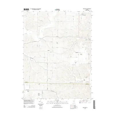 2015 Pearl West2015 Print · USGSThe Pike and Calhoun county borderlands come alive in this mid-2010s survey of the rural Illinois interior. Genealogists can trace family footprints across Old Pearl and Greenpond, or locate historic burial sites like McConnell Cemetery and Hess Cemetery.
Showing maps 1-25 of 76
Top cities of Calhoun County
- Hardin historical maps
- Kampsville historical maps
- Batchtown historical maps
- Brussels historical maps
- Hamburg historical maps
Frequently asked questions
- What are the different types of historical maps available for Calhoun County?
- What is the oldest map of Calhoun County?
- Where can I purchase historical maps of Calhoun County for my home or office?
- Where can I download high-res historical maps of Calhoun County?
- Are there historical topographic maps available for Calhoun County?
- Is there historical aerial imagery available for Calhoun County?
- Where are historical maps of Calhoun County sourced from?