2020s Maps of Macoupin County, Illinois
Explore 60 historic maps of Macoupin County from the 2020s. These maps offer a rare glimpse into what life looked like during the 2020s — showing old roads, neighborhoods, homes, and landmarks that have changed or disappeared over time.
Whether you're researching your family's past, planning a metal detecting trip, or studying how Macoupin County's landscape evolved across the 2020s, these high-resolution maps are a powerful tool for exploring the history of this region.
- Focus on a specific era: All maps on this page are from the 2020s, giving you a focused view of this time period.
- See what’s changed: Compare century-old streets, trails, and buildings to today's modern landscape using overlays and satellite layers.
- Research with precision: Use these maps for genealogy, historical research, land use analysis, or educational projects.
- View, download, or print: Maps are fully viewable online in high resolution, and can be downloaded or printed for your own records.
Start exploring Macoupin County's history through authentic maps from the 2020s. This is your window into the past.
Macoupin County, IL maps
(60)- 2021 Map of Worden, 2021 Print
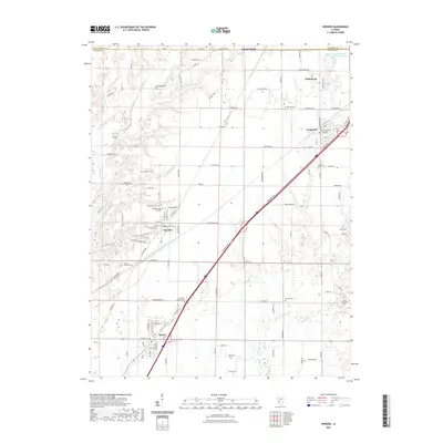 2021 Worden2021 Print · USGSThe southwestern Illinois prairie near the Madison-Macoupin county line is captured here in a moment of modern continuity. Researchers can trace deep family lineages across numerous burial grounds including McCaughey Cem, Hoxsey Cem, and the Sacred Heart Cem.
 - 2021 Map of New Douglas, 2021 Print
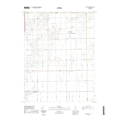 2021 New Douglas2021 Print · USGSMadison County's northern townships are documented here in the early 2020s, showing the intersection of agricultural life and industrial history. Researchers can locate local landmarks like New Douglas City Cem, Binney, and the Staunton Coal Company Reservoir.
 - 2021 Map of Prairietown, 2021 Print
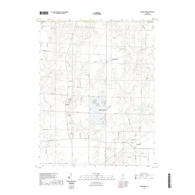 2021 Prairietown2021 Print · USGSMadison County's agricultural and lakeside communities are documented here in the early 2020s. Researchers can locate numerous local landmarks including Paddock Family Cemetery, Zion Lutheran Church, and the settlement of Holiday Shores.
 - 2021 Map of Atwater, 2021 Print
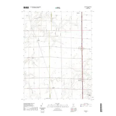 2021 Atwater2021 Print · USGSThe Macoupin and Montgomery County line comes into focus in this recent survey of the Illinois prairie. Researchers can trace rural cemeteries like Bethel Ridge Cemetery and small crossroads settlements including Atwater, Barnett, and Honey Bend.
 - 2021 Map of Divernon, 2021 Print
 2021 Divernon2021 Print · USGSThe rural prairie of Sangamon County is anchored by the communities of Divernon and Auburn during the early twenty-first century. Researchers can trace family ties at Cumberland Sugar Creek Cem and follow the drainage of Brush Cr across the Macoupin County line.
 - 2021 Map of Palmyra, 2021 Print
 2021 Palmyra2021 Print · USGSMacoupin County at the start of the 2020s remains a landscape of tightly knit farming communities and deeply rooted local history. Genealogists can locate numerous rural burial sites including Blue Grass Cem, Weller Cem, and the secluded Doss Grave.
 - 2021 Map of Carlinville East, 2021 Print
 2021 Carlinville East2021 Print · USGSMacoupin County at the start of the 2020s shows the enduring layout of its rural communities and college town. Genealogists can trace family sites at Gray Family Cem and Anderson Cem or locate the historic grounds of Blackburn College.
 - 2021 Map of Virden North, 2021 Print
 2021 Virden North2021 Print · USGSCentral Illinois prairie life is captured here in the 2020s, spanning the border of Sangamon and Macoupin counties. Researchers can trace the developed streets of Virden and Auburn or locate rural landmarks like West Cem and Holzwarth Flying Service.
 - 2021 Map of Gillespie North, 2021 Print
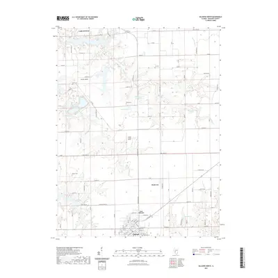 2021 Gillespie North2021 Print · USGSCentral Macoupin County is captured here in the modern era, showing the rural spaces between the regional hubs. Genealogists can locate several family-named burying grounds including Prairie Lawn Cem and Behme Cem near Brushy Mound.
 - 2021 Map of Farmersville, 2021 Print
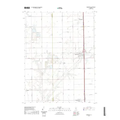 2021 Farmersville2021 Print · USGSCentral Illinois farmland near the Macoupin and Montgomery county line is captured here in recent detail. Researchers can trace local lineage through Rovey Cem or explore the small-town footprints of Farmersville, Waggoner, and Thomasville.
 - 2021 Map of Virden South, 2021 Print
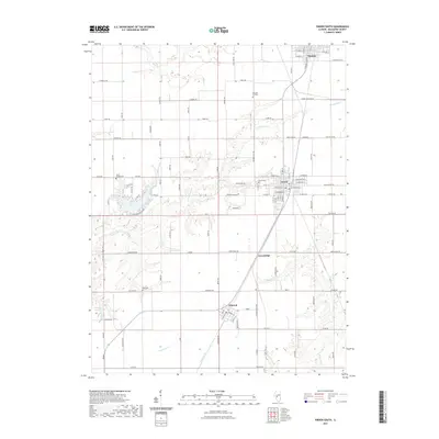 2021 Virden South2021 Print · USGSMacoupin County’s central prairie corridor is seen here in the early 2020s, tracing the line of historic settlements and rural cemeteries. Genealogists can locate family burial sites at Girard Cem and Union Chapel Cem or explore the local heritage of Nilwood and Girard.
 - 2021 Map of Mount Olive, 2021 Print
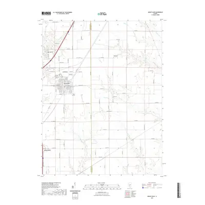 2021 Mount Olive2021 Print · USGSMount Olive and the northern outskirts of Staunton are shown here in the early twenty-first century, revealing a landscape deeply rooted in its local memorial and rural history. Genealogists can trace family names at the Union Miners Cem or locate rural sites like Heeren Pond and Saint Johns Lutheran Cem.
 - 2021 Map of Waverly, 2021 Print
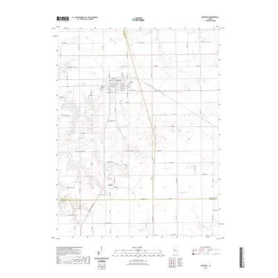 2021 Waverly2021 Print · USGSWaverly and the surrounding Illinois prairie are documented here in the early twenty-first century, showing a landscape defined by agriculture and deep-rooted local history. Genealogists and researchers can locate numerous burial sites such as Pulliam Cem and Turner Cem or trace the winding course of Apple Creek.
 - 2021 Map of Plainview, 2021 Print
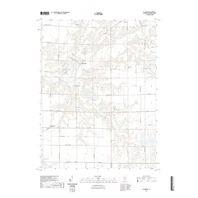 2021 Plainview2021 Print · USGSThe rural landscape of Macoupin County is captured here in the early 2020s, centered on the historic settlements of Plainview and Macoupin. Genealogists and local historians can locate several scattered burial grounds, including Waggoner Cem, Hacke Cem, and Combes Cem.
 - 2021 Map of Alton, 2021 Print
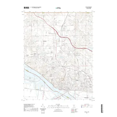 2021 Alton2021 Print · USGSThe riverfront and industrial bluffs of Madison County are captured in this recent survey of the Mississippi River bend. Genealogists and historians can locate numerous burial sites such as the Confederate Cem, Oakwood Cem, and Saint Patrick Cem.
 - 2021 Map of Litchfield, 2021 Print
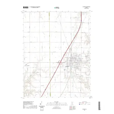 2021 Litchfield2021 Print · USGSLitchfield and the surrounding Montgomery County countryside are documented here in the early twenty-first century as a bustling regional hub. Genealogists and local historians can locate numerous burial grounds like Elmwood Cem and Crabtree Cem alongside landmarks such as Litchfield Municipal Airport.
 - 2021 Map of Bunker Hill, 2021 Print
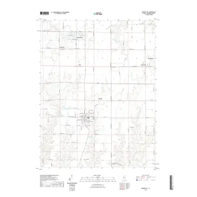 2021 Bunker Hill2021 Print · USGSMacoupin County at the start of the 2020s shows a landscape of established villages and interconnected rural routes. Researchers can trace local lineage through Bunker Hill City Cem and Saint Marys Catholic Cem or explore the unique lake cluster at Royal Lakes.
 - 2021 Map of Bethalto, 2021 Print
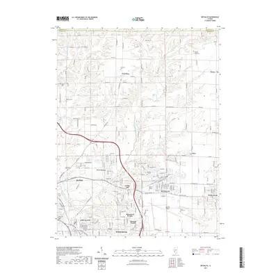 2021 Bethalto2021 Print · USGSMadison County neighborhoods and regional infrastructure are shown here in the early 2020s as development extends north from the Mississippi River bluffs. Researchers can trace local heritage at Emmaus Lutheran Church Cem, Short Cem, and the historic Fosterburg settlement.
 - 2021 Map of Franklin, 2021 Print
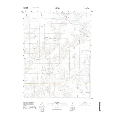 2021 Franklin2021 Print · USGSFranklin sits at the heart of this Morgan County landscape, surrounded by a dense network of creek-cut valleys. Genealogists can trace family names through numerous rural burial sites like Harts Prairie Cem, Providence Cem, and New Hope Cem.
 - 2021 Map of Summerville, 2021 Print
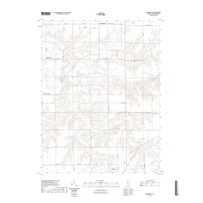 2021 Summerville2021 Print · USGSMacoupin County at the start of the 2020s shows a landscape of enduring rural settlements and winding waterways. Researchers can trace family history through sites like Gelder Cem and Armour Cem or follow the path of Macoupin Creek.
 - 2021 Map of Athensville, 2021 Print
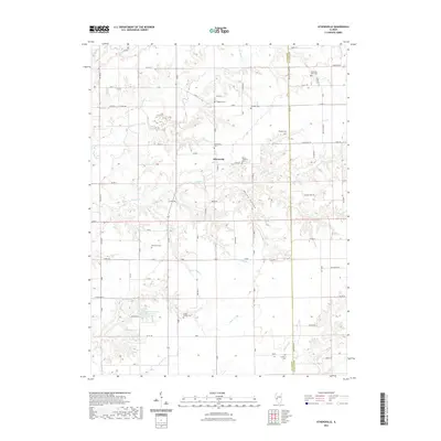 2021 Athensville2021 Print · USGSAthensville and the surrounding Illinois countryside are captured here in the early 2020s, showing a landscape defined by creek valleys and section roads. Genealogists can trace numerous family burial sites such as Jackson Cem, Rhodes Cem, and Scottville West Cem.
 - 2021 Map of Greenfield, 2021 Print
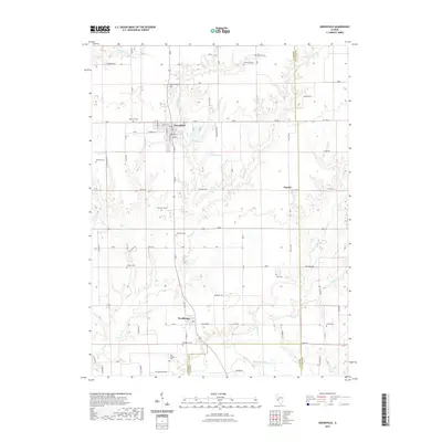 2021 Greenfield2021 Print · USGSGreene County farmland and the settlement of Greenfield define this landscape near the Macoupin County line. Researchers can trace dozens of local burial sites like Oakwood Cem and Hermitage Cem or follow the winding path of Macoupin Creek.
 - 2021 Map of Nortonville, 2021 Print
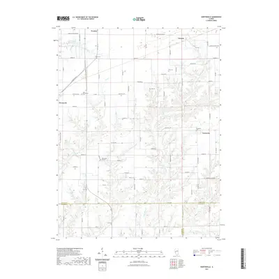 2021 Nortonville2021 Print · USGSThe rural borderlands where Morgan, Greene, and Macoupin Counties meet are captured here in the early twenty-first century. Genealogists can trace family heritage through numerous burial sites like Zion Number One Cemetery and Sooy Cemetery.
 - 2021 Map of Medora, 2021 Print
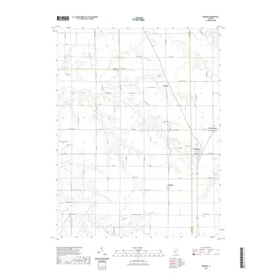 2021 Medora2021 Print · USGSCentral Illinois prairie life and legacy are preserved in this 2021 study of the Jersey, Greene, and Macoupin county borders. Genealogists can trace family roots through numerous burial sites like Pruitt Cem, Rhoads Cem, and Longwill Cem.
 - 2021 Map of Brighton, 2021 Print
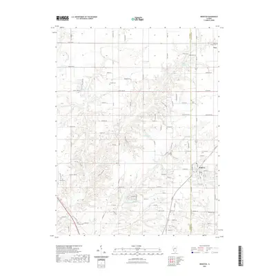 2021 Brighton2021 Print · USGSThe village of Brighton and its surrounding townships appear in this modern survey of the Macoupin and Jersey county line. Researchers can locate many small burial grounds including Tribble Cem, Asbury Cem, and Eldridge Cem among the hills of Piasa Creek.
Showing maps 1-25 of 60
Top cities of Macoupin County
- Carlinville historical maps
- Staunton historical maps
- Virden historical maps
- Gillespie historical maps
- Girard historical maps
- Mount Olive historical maps
See more
Frequently asked questions
- What are the different types of historical maps available for Macoupin County?
- What is the oldest map of Macoupin County?
- Where can I purchase historical maps of Macoupin County for my home or office?
- Where can I download high-res historical maps of Macoupin County?
- Are there historical topographic maps available for Macoupin County?
- Is there historical aerial imagery available for Macoupin County?
- Where are historical maps of Macoupin County sourced from?