Old Maps of Lamoni, Iowa for Academic Research
Study the evolution of Lamoni with 18 high-resolution historic maps. Whether you're teaching, researching, or modeling changes in land use, these maps provide essential visual documentation of urban, environmental, and geographic change.
- Analyze long-term change: Track patterns in development, transportation, and natural features.
- Ideal for environmental or urban studies: Support academic projects with primary historical map data.
- Use in the classroom or lab: Educators and researchers rely on these maps to bring historical context to life.
These maps are a powerful tool for teaching, research, and visualizing how Lamoni has changed over the decades.
Lamoni, IA maps
(18)- 1945 Map of Lamoni, 1957 Print
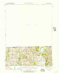 1945 Lamoni1957 Print · USGSThe Iowa and Missouri borderlands come to life in this mid-century survey of the rural corridor between Harrison and Decatur counties. Researchers can trace the tracks of the Chicago Burlington and Quincy railroad and find local landmarks like Andover, Riverview Ch, and Akron Cem.
 - 1947 Map of Lamoni
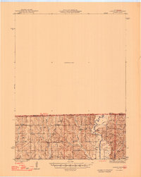 1947 Lamoni1947 Print · USGSThe rural borderlands of Iowa and Missouri are captured here just after the war, showing a dense network of country schools and churches. Genealogists can trace family roots through landmarks like Andover Cem, Lone Star Sch, and the Riverview Ch along the Thompson River.2 unique versions available
 - 1954 Map of Centerville, 1967 Print
 1954 Centerville1967 Print · USGSThe Iowa-Missouri borderlands at mid-century reveal a landscape shaped by river valleys and the height of the regional rail network. Genealogists and historians can trace the paths of the Wabash railroad and locate old townsites like Mystic, Moulton, and Greentop.3 unique versions available
 - 1957 Map of Centerville
 1957 Centerville1957 Print · USGSThe Iowa-Missouri borderlands in the mid-fifties reveal a landscape of river-valley agriculture and vital rail corridors. Genealogists and historians can trace family-named landmarks and small-town growth in Centerville, Kirksville, and along the Wabash railroad line.
 - 1958 Map of Centerville
 1958 Centerville1958 Print · USGSThe Iowa-Missouri borderlands come into focus during the mid-fifties, showing a landscape defined by river valleys and intersecting rail lines. Genealogists and local historians can trace family roots through dozens of rural hubs like Bloomfield, Unionville, and Corydon.
 - 1981 Map of Lamoni South
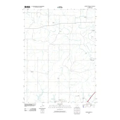
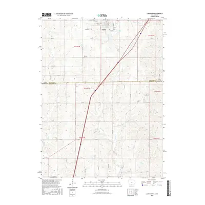
 1981 Lamoni South1981 Print · USGSSouthern Iowa and northern Missouri are captured here in the early eighties, centered on the growing community of Lamoni. Genealogists and local historians can trace rural roots through Rose Hill Cem, Sweet Home Cem, and the old Andover townsite.2 unique versions available
 - 1981 Map of Lamoni North
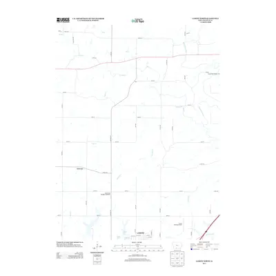
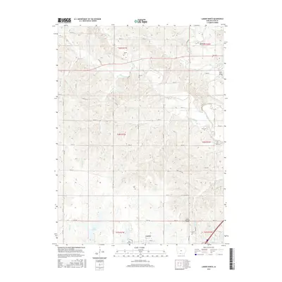
 1981 Lamoni North1981 Print · USGSDecatur County's rural heartland is documented here in the early eighties, centered on the expansion of Lamoni and the river valleys to its north. Genealogists can locate family landmarks such as Rose Hill Cem, the Bloomington Ch, and the Old Railroad Grade.
 - 1981 Map of Leon, 1982 Print
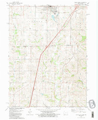
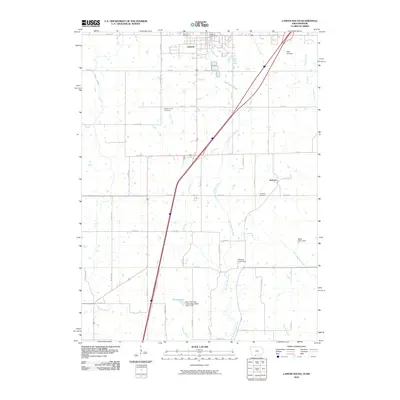
 1981 Leon1982 Print · USGSSouthern Iowa and northern Missouri are captured here in the early eighties as the rural landscape balances traditional agriculture with large-scale water management. Researchers can trace the path of the Burlington Northern through Leon or locate early settlements like Decatur City and New Buda.
 - 2010 Map of Lamoni North, 2010 Print
 2010 Lamoni North2010 Print · USGSCovers Lamoni, including Tuskeego, Decatur County, and other nearby areas
 - 2010 Map of Lamoni South, 2010 Print
 2010 Lamoni South2010 Print · USGSCovers Lamoni, including Andover, Decatur County, and other nearby areas
 - 2013 Map of Lamoni North, 2013 Print
 2013 Lamoni North2013 Print · USGSCovers Lamoni, including Tuskeego, Decatur County, and other nearby areas
 - 2013 Map of Lamoni South, 2013 Print
 2013 Lamoni South2013 Print · USGSCovers Lamoni, including Andover, Decatur County, and other nearby areas
 - 2015 Map of Lamoni South, 2015 Print
 2015 Lamoni South2015 Print · USGSCovers Lamoni, including Andover, Decatur County, and other nearby areas
 - 2015 Map of Lamoni North, 2015 Print
 2015 Lamoni North2015 Print · USGSCovers Lamoni, including Tuskeego, Decatur County, and other nearby areas
 - 2018 Map of Lamoni South, 2018 Print
 2018 Lamoni South2018 Print · USGSCovers Lamoni, including Andover, Decatur County, and other nearby areas
 - 2018 Map of Lamoni North, 2018 Print
 2018 Lamoni North2018 Print · USGSCovers Lamoni, including Tuskeego, Decatur County, and other nearby areas
 - 2022 Map of Lamoni North, 2022 Print
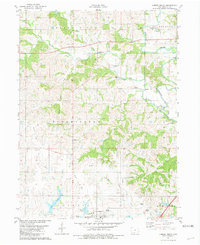
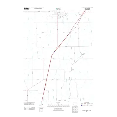
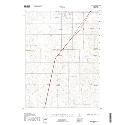
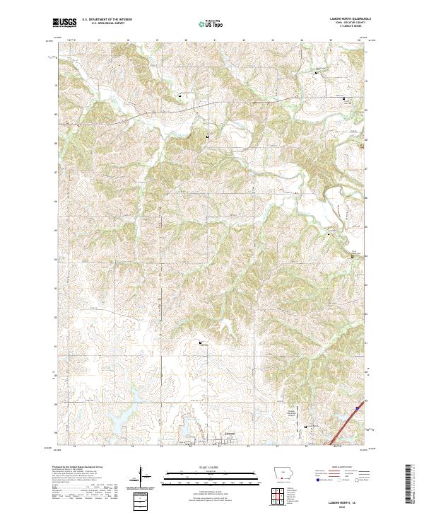 2022 Lamoni North2022 Print · USGSSouthern Decatur County near the Iowa-Missouri border is captured here in recent years, showing the rural landscape around Lamoni. Researchers can locate several historical burial grounds including Terre Haute Cem, Millsap Cem, and Bucy Cem.
 - 2022 Map of Lamoni South, 2022 Print
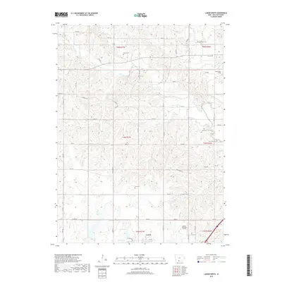
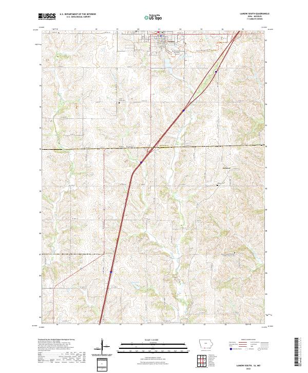 2022 Lamoni South2022 Print · USGSThe Iowa-Missouri borderlands come into focus here during the early twenty-first century, centered on the university town of Lamoni. Researchers can trace old family burial sites at Sweet Home Cem or locate the rural settlement of Andover near the state line.
End of results
Showing maps 1-18 of 18
Top cities near Lamoni
- Leon historical maps
- Cainsville historical maps
- Eagleville historical maps
- Kellerton historical maps
- Blythedale historical maps
- Grand River historical maps
See more
Frequently asked questions
- What are the different types of historical maps available for Lamoni?
- What is the oldest map of Lamoni?
- Where can I purchase historical maps of Lamoni for my home or office?
- Where can I download high-res historical maps of Lamoni?
- Are there historical topographic maps available for Lamoni?
- Is there historical aerial imagery available for Lamoni?
- Where are historical maps of Lamoni sourced from?