2000s (21st Century) Maps of Pottawattamie County, Iowa
Explore 149 historic maps of Pottawattamie County from the 2000s (21st Century). These maps offer a rare glimpse into what life looked like during the 2000s — showing old roads, neighborhoods, homes, and landmarks that have changed or disappeared over time.
Whether you're researching your family's past, planning a metal detecting trip, or studying how Pottawattamie County's landscape evolved across the 2000s, these high-resolution maps are a powerful tool for exploring the history of this region.
- Focus on a specific era: All maps on this page are from the 2000s, giving you a focused view of this time period.
- See what’s changed: Compare century-old streets, trails, and buildings to today's modern landscape using overlays and satellite layers.
- Research with precision: Use these maps for genealogy, historical research, land use analysis, or educational projects.
- View, download, or print: Maps are fully viewable online in high resolution, and can be downloaded or printed for your own records.
Start exploring Pottawattamie County's history through authentic maps from the 2000s. This is your window into the past.
Pottawattamie County, IA maps
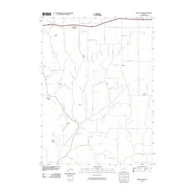
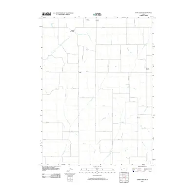
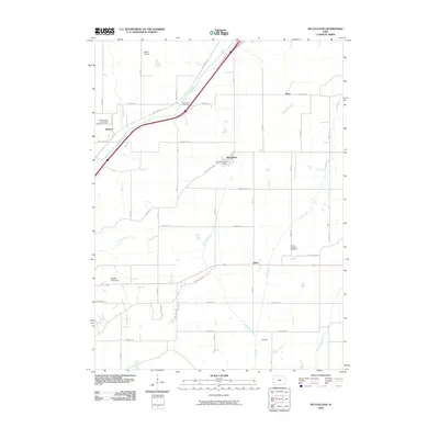
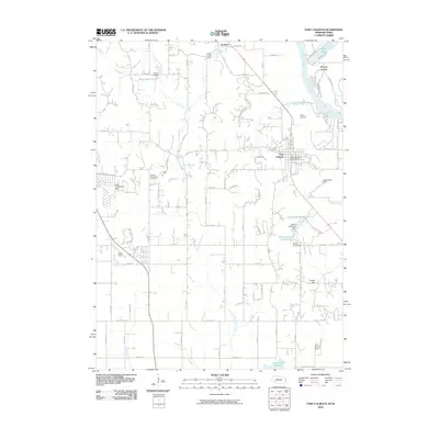
(149)- 2010 Map of Treynor, 2010 Print
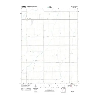 2010 Treynor2010 Print · USGSCovers Pottawattamie County, including Treynor, Mills County, and other nearby areas
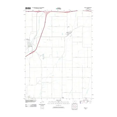
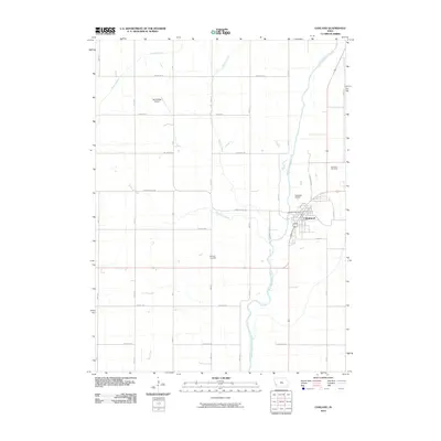
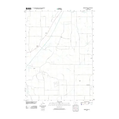
 - 2010 Map of Mineola, 2010 Print
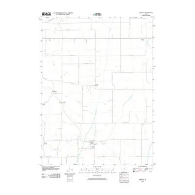 2010 Mineola2010 Print · USGSCovers Pottawattamie County, including Mineola, Dumfries, and other nearby areas
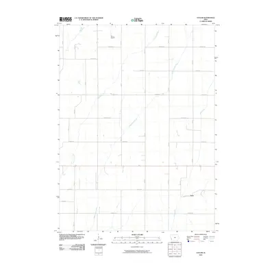
 - 2010 Map of Carson, 2010 Print
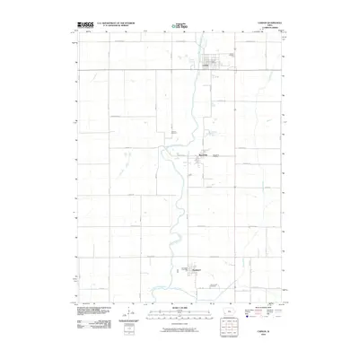 2010 Carson2010 Print · USGSCovers Pottawattamie County, including Carson, Macedonia, and other nearby areas
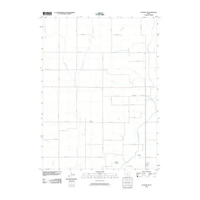
 - 2010 Map of Griswold, 2010 Print
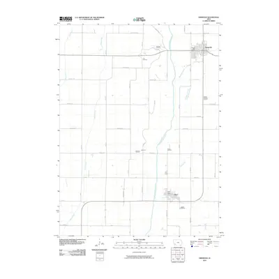 2010 Griswold2010 Print · USGSCovers Pottawattamie County, including Griswold, Elliott, and other nearby areas
 - 2010 Map of Omaha South, 2010 Print
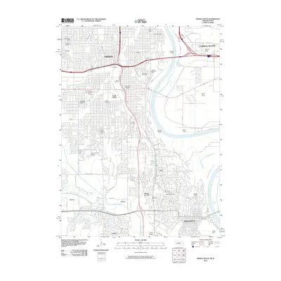 2010 Omaha South2010 Print · USGSCovers Pottawattamie County, including Omaha, Council Bluffs, and other nearby areas
 - 2010 Map of Carson NE, 2010 Print
 2010 Carson NE2010 Print · USGSCovers Pottawattamie County, including Montgomery County, United States, and other nearby areas
 - 2010 Map of Neola, 2010 Print
 2010 Neola2010 Print · USGSCovers Pottawattamie County, including Neola, Minden, and other nearby areas
 - 2010 Map of Prairie Rose Lake, 2010 Print
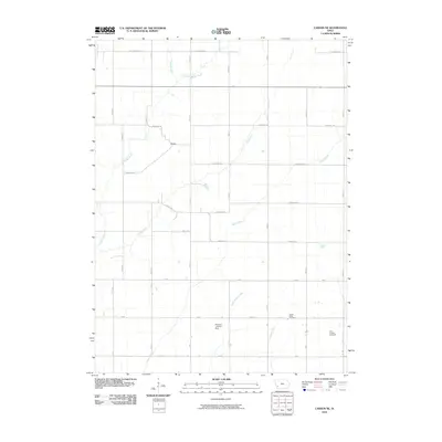
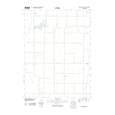 2010 Prairie Rose Lake2010 Print · USGSCovers Pottawattamie County, including Walnut, Rorbeck, and other nearby areas
 - 2010 Map of Honey Creek, 2010 Print
 2010 Honey Creek2010 Print · USGSCovers Pottawattamie County, including Crescent, Honey Creek, and other nearby areas
 - 2010 Map of Avoca SE, 2010 Print
 2010 Avoca SE2010 Print · USGSCovers Pottawattamie County, including United States, Iowa, and other nearby areas
 - 2010 Map of Walnut, 2010 Print
 2010 Walnut2010 Print · USGSCovers Pottawattamie County, including Walnut, Cass County, and other nearby areas
 - 2010 Map of Avoca NW, 2010 Print
 2010 Avoca NW2010 Print · USGSCovers Pottawattamie County, including Shelby, United States, and other nearby areas
 - 2010 Map of Hard Scratch, 2010 Print
 2010 Hard Scratch2010 Print · USGSCovers Pottawattamie County, including Hard Scratch, Crisp, and other nearby areas
 - 2010 Map of Corley, 2010 Print
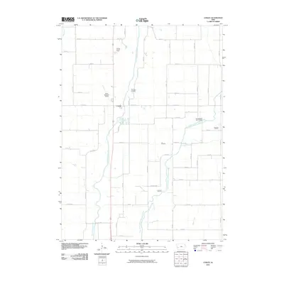 2010 Corley2010 Print · USGSCovers Pottawattamie County, including Avoca, Corley, and other nearby areas
 - 2010 Map of Avoca, 2010 Print
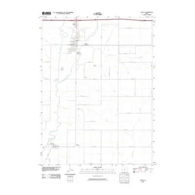 2010 Avoca2010 Print · USGSCovers Pottawattamie County, including Avoca, Hancock, and other nearby areas
 - 2010 Map of Persia, 2010 Print
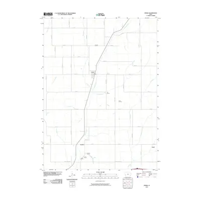 2010 Persia2010 Print · USGSCovers Pottawattamie County, including Persia, Magill, and other nearby areas
 - 2010 Map of McClelland, 2010 Print
 2010 McClelland2010 Print · USGSCovers Pottawattamie County, including Underwood, McClelland, and other nearby areas
 - 2010 Map of Oakland, 2010 Print
 2010 Oakland2010 Print · USGSCovers Pottawattamie County, including Oakland, United States, and other nearby areas
 - 2010 Map of Taylor, 2010 Print
 2010 Taylor2010 Print · USGSCovers Pottawattamie County, including Taylor, United States, and other nearby areas
 - 2010 Map of Atlantic SW, 2010 Print
 2010 Atlantic SW2010 Print · USGSCovers Pottawattamie County, including Cass County, United States, and other nearby areas
 - 2010 Map of Fort Calhoun, 2010 Print
 2010 Fort Calhoun2010 Print · USGSCovers Pottawattamie County, including Omaha, Fort Calhoun, and other nearby areas
 - 2010 Map of Beebeetown, 2010 Print
 2010 Beebeetown2010 Print · USGSCovers Pottawattamie County, including Orton, Euclid, and other nearby areas
 - 2010 Map of Underwood, 2010 Print
 2010 Underwood2010 Print · USGSCovers Pottawattamie County, including Underwood, United States, and other nearby areas
 - 2010 Map of Modale, 2010 Print
 2010 Modale2010 Print · USGSCovers Pottawattamie County, including Blair, Modale, and other nearby areas
 - 2010 Map of Loveland, 2010 Print
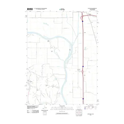 2010 Loveland2010 Print · USGSCovers Pottawattamie County, including Omaha, Loveland, and other nearby areas
Showing maps 1-25 of 149
Top cities of Pottawattamie County
- Council Bluffs historical maps
- Carter Lake historical maps
- Avoca historical maps
- Oakland historical maps
- Treynor historical maps
- Underwood historical maps
See more
Frequently asked questions
- What are the different types of historical maps available for Pottawattamie County?
- What is the oldest map of Pottawattamie County?
- Where can I purchase historical maps of Pottawattamie County for my home or office?
- Where can I download high-res historical maps of Pottawattamie County?
- Are there historical topographic maps available for Pottawattamie County?
- Is there historical aerial imagery available for Pottawattamie County?
- Where are historical maps of Pottawattamie County sourced from?