2010s Maps of Pottawattamie County, Iowa
Explore 119 historic maps of Pottawattamie County from the 2010s. These maps offer a rare glimpse into what life looked like during the 2010s — showing old roads, neighborhoods, homes, and landmarks that have changed or disappeared over time.
Whether you're researching your family's past, planning a metal detecting trip, or studying how Pottawattamie County's landscape evolved across the 2010s, these high-resolution maps are a powerful tool for exploring the history of this region.
- Focus on a specific era: All maps on this page are from the 2010s, giving you a focused view of this time period.
- See what’s changed: Compare century-old streets, trails, and buildings to today's modern landscape using overlays and satellite layers.
- Research with precision: Use these maps for genealogy, historical research, land use analysis, or educational projects.
- View, download, or print: Maps are fully viewable online in high resolution, and can be downloaded or printed for your own records.
Start exploring Pottawattamie County's history through authentic maps from the 2010s. This is your window into the past.
Pottawattamie County, IA maps
(119)- 2010 Map of Treynor, 2010 Print
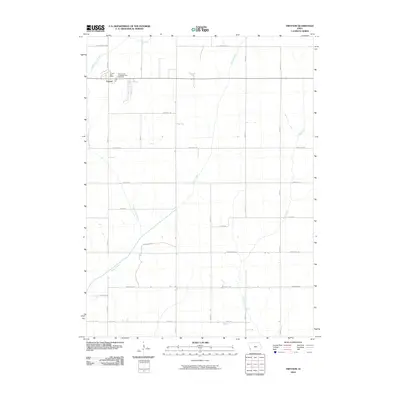 2010 Treynor2010 Print · USGSThe rural community of Treynor thrives amidst a network of prairie tributaries in the early twenty-first century. Researchers can trace local genealogy at the Treynor Zion Congregational Cemetery and follow the routes of Pioneer Trl and Silver Creek.
 - 2010 Map of Mineola, 2010 Print
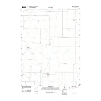 2010 Mineola2010 Print · USGSSouthwestern Iowa farmland near the turn of the twenty-first century reveals a deeply rooted community structure defined by its rural settlements and local cemeteries. Trace family history at Mineola Cemetery, Saint Paul Cemetery, or the settlement of Dumfries.
 - 2010 Map of Carson, 2010 Print
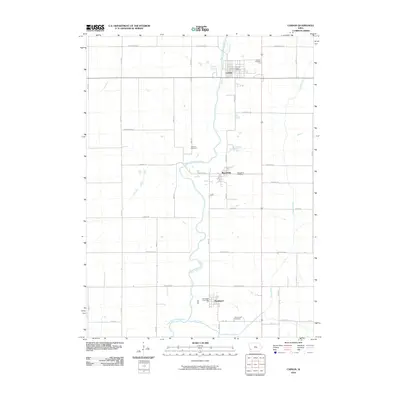 2010 Carson2010 Print · USGSSouthwestern Iowa river towns thrive along the West Nishnabotna River during this era of modern agricultural life. Local historians can trace cemetery locations like Old Town Cemetery and Macedonia Cemetery or locate civic centers such as the Carson Post Office.
 - 2010 Map of Griswold, 2010 Print
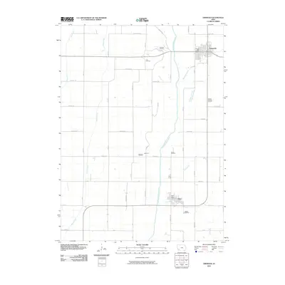 2010 Griswold2010 Print · USGSGriswold and Elliott are mapped here in 2010 as they sit along the winding East Nishnabotna River valley. Genealogists and historians can trace numerous rural burial sites like Waveland Cemetery and Hillside Cemetery tucked away among the farm grids.
 - 2010 Map of Omaha South, 2010 Print
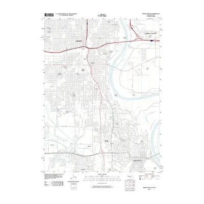 2010 Omaha South2010 Print · USGSThe Missouri River corridor between Omaha and Bellevue comes alive in this 2010 survey of eastern Nebraska and western Iowa. Researchers can trace the heritage of local neighborhoods through sites like Bohemian Cemetery, Sarpys Trading Post, and the campus of Bellevue University.
 - 2010 Map of Carson NE, 2010 Print
 2010 Carson NE2010 Print · USGSPottawattamie County farmland is documented here in the early twenty-first century, showing the intersection of rural life and landscape. Genealogists and local historians can locate Center Ridge Cemetery, the Elliot Hillside Cemetery, and the settlement of Wheeler.
 - 2010 Map of Neola, 2010 Print
 2010 Neola2010 Print · USGSWestern Pottawattamie County is shown at the start of the 2010s, where the Missouri River watershed creates a rolling agricultural landscape. Researchers can trace historic burial sites like Saint Patricks Catholic Cemetery or follow the paths of Mosquito Creek and Keg Creek.
 - 2010 Map of Prairie Rose Lake, 2010 Print
 2010 Prairie Rose Lake2010 Print · USGSIowa's agricultural heartland is captured here in the early twenty-first century, featuring the expansive waters of Prairie Rose Lake. Genealogists and local historians can locate Rorbeck and the rural Folck Cemetery among the grid of county roads.
 - 2010 Map of Honey Creek, 2010 Print
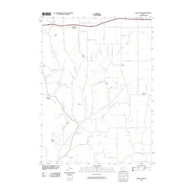 2010 Honey Creek2010 Print · USGSNear the Missouri River valley in the early twenty-first century, this landscape shows a dense network of rural settlements and family heritage sites. Genealogists can trace family names at Branson and Reels, or locate the Mount Crescent Ski Area.
 - 2010 Map of Avoca SE, 2010 Print
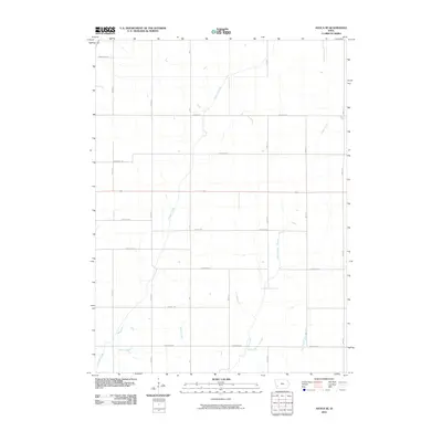 2010 Avoca SE2010 Print · USGSPottawattamie County is shown here in the early twenty-first century, when a strict grid of tree-named roads defined the local landscape. Genealogists and land researchers can trace property boundaries and intersections along Idlewood Rd, Magnolia Rd, and Graybill Creek.
 - 2010 Map of Walnut, 2010 Print
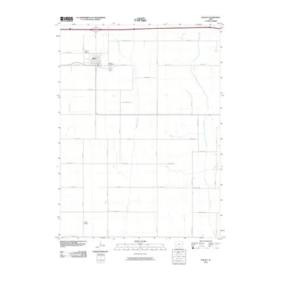 2010 Walnut2010 Print · USGSWalnut and its surrounding farmsteads are shown in detail during the early twenty-first century as the town continued its role as a local trade center. Researchers can trace family sites near Lincoln Township Cemetery or follow the paths of Walnut Creek and Indian Creek.
 - 2010 Map of Avoca NW, 2010 Print
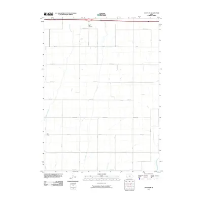 2010 Avoca NW2010 Print · USGSShelby County farmland remains centered on its deep agricultural roots during the early twenty-first century. Genealogists and local historians can trace the paths of Middle Silver Creek, locate the Silver Valley Cemetery, and find the Carstens 1880 Farmstead.
 - 2010 Map of Hard Scratch, 2010 Print
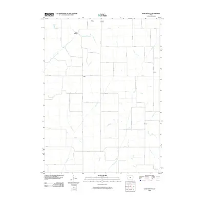 2010 Hard Scratch2010 Print · USGSHarrison County farmland is surveyed here in the early twenty-first century, showing a landscape defined by its rural road grid and creek valleys. Researchers can trace the drainage of Pigeon Creek and locate family burial sites at Bethel Cemetery and Cox Cemetery.
 - 2010 Map of Corley, 2010 Print
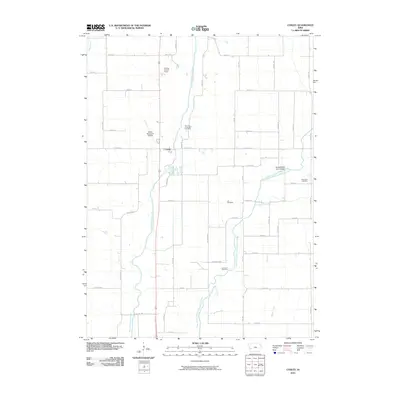 2010 Corley2010 Print · USGSWestern Iowa's river valleys and section-line roads are documented here in the first decade of the millennium. Researchers can pinpoint rural burial sites like Lee Cemetery and Altamont Cemetery or trace the drainage of the West Nishnabotna River near Corley.
 - 2010 Map of Avoca, 2010 Print
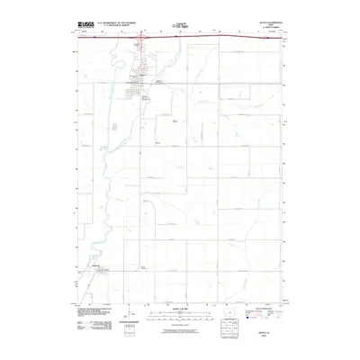 2010 Avoca2010 Print · USGSThe river valleys of Pottawattamie County come alive in this early 21st-century survey of Avoca and Hancock. Genealogists and local historians can trace legacy sites like Graceland Cemetery, the Avoca Fairgrounds, and the path of the East Branch West Nishnabotna River.
 - 2010 Map of Persia, 2010 Print
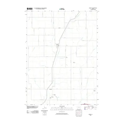 2010 Persia2010 Print · USGSPersia and its neighboring agricultural hamlets are captured here during the first decade of the millennium. Researchers can locate several family burial grounds, including Chambers and Schley, while tracing the paths of Mosquito Creek and Yorkshire.
 - 2010 Map of McClelland, 2010 Print
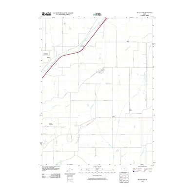 2010 McClelland2010 Print · USGSPottawattamie County is captured here in the early 2000s, showing a well-connected agricultural landscape between the Missouri River and the interior plains. Researchers can trace family sites near Weston Saint Columbanus Catholic Cemetery or find the rural hubs of McClelland and Quick.
 - 2010 Map of Oakland, 2010 Print
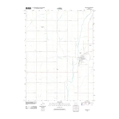 2010 Oakland2010 Print · USGSOakland and the surrounding Pottawattamie County countryside are documented here during the first decade of the millennium. Researchers can trace the town’s layout near the West Nishnabotna River or locate family sites at Oaklawn Cemetery and Belknap Cemetery.
 - 2010 Map of Taylor, 2010 Print
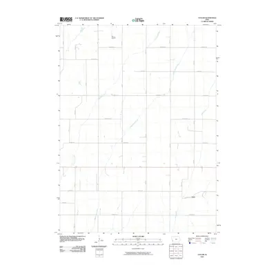 2010 Taylor2010 Print · USGSAgricultural patterns in Pottawattamie County remain clearly defined in this early twenty-first-century survey of the Iowa plains. Researchers can locate the York Township Cemetery, the settlement of Taylor, and the winding paths of Middle Silver Creek.
 - 2010 Map of Atlantic SW, 2010 Print
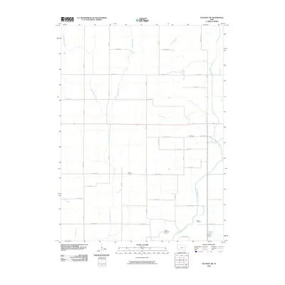 2010 Atlantic SW2010 Print · USGSPottawattamie County farmland is shown at the start of the decade, featuring a landscape shaped by the East Nishnabotna River and traditional township roads. Genealogists and local historians can pinpoint the Whipple Cemetery, Smith Cemetery, and the settlement of Eranistan.
 - 2010 Map of Fort Calhoun, 2010 Print
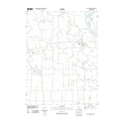 2010 Fort Calhoun2010 Print · USGSThe Missouri River valley near Fort Calhoun is captured here at a time of steady rural development and managed water systems. Researchers can trace local history through the Pioneer Memorial Cemetery or locate landmarks like the Bil Lo Airport and De Soto.
 - 2010 Map of Beebeetown, 2010 Print
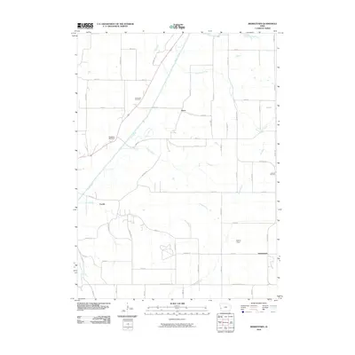 2010 Beebeetown2010 Print · USGSBeebeetown and its surrounding Harrison County farmland are captured here in the early twenty-first century. Researchers can trace local genealogy at Greenwood Cemetery or locate the site of Orton and the timbered grounds of Biglers Grove.
 - 2010 Map of Underwood, 2010 Print
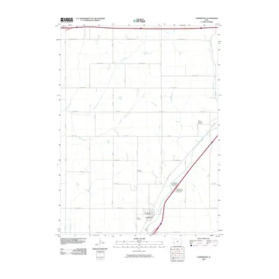 2010 Underwood2010 Print · USGSThe community of Underwood and the fertile surrounding plains of Pottawattamie County are captured here in the early 21st century. Researchers can locate family heritage sites at Castor Cemetery and Fisher Cemetery or trace the drainage of Mosquito Creek.
 - 2010 Map of Modale, 2010 Print
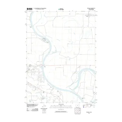 2010 Modale2010 Print · USGSThe Missouri River valley at the turn of the decade reveals a landscape of oxbow lakes and managed waterways between Iowa and Nebraska. Researchers can trace the river's legacy through features like the California Cutoff, Blair Cemetery, and the Modale Post Office.
 - 2010 Map of Loveland, 2010 Print
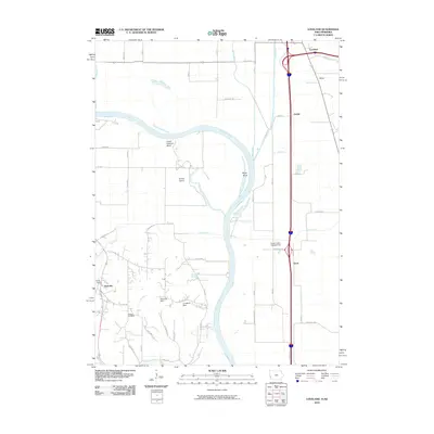 2010 Loveland2010 Print · USGSThe Missouri River floodplain near the Iowa and Nebraska border is captured here during the first decade of the millennium. Researchers can trace rural settlement patterns and local landmarks like Shipley Cemetery, the small community of Nashville, and the waters of Boyer Chute.
Showing maps 1-25 of 119
Top cities of Pottawattamie County
- Council Bluffs historical maps
- Carter Lake historical maps
- Avoca historical maps
- Oakland historical maps
- Treynor historical maps
- Underwood historical maps
See more
Frequently asked questions
- What are the different types of historical maps available for Pottawattamie County?
- What is the oldest map of Pottawattamie County?
- Where can I purchase historical maps of Pottawattamie County for my home or office?
- Where can I download high-res historical maps of Pottawattamie County?
- Are there historical topographic maps available for Pottawattamie County?
- Is there historical aerial imagery available for Pottawattamie County?
- Where are historical maps of Pottawattamie County sourced from?