2020s Maps of Gray County, Kansas
Explore 30 historic maps of Gray County from the 2020s. These maps offer a rare glimpse into what life looked like during the 2020s — showing old roads, neighborhoods, homes, and landmarks that have changed or disappeared over time.
Whether you're researching your family's past, planning a metal detecting trip, or studying how Gray County's landscape evolved across the 2020s, these high-resolution maps are a powerful tool for exploring the history of this region.
- Focus on a specific era: All maps on this page are from the 2020s, giving you a focused view of this time period.
- See what’s changed: Compare century-old streets, trails, and buildings to today's modern landscape using overlays and satellite layers.
- Research with precision: Use these maps for genealogy, historical research, land use analysis, or educational projects.
- View, download, or print: Maps are fully viewable online in high resolution, and can be downloaded or printed for your own records.
Start exploring Gray County's history through authentic maps from the 2020s. This is your window into the past.
Gray County, KS maps
(30)- 2022 Map of Ingalls, 2022 Print
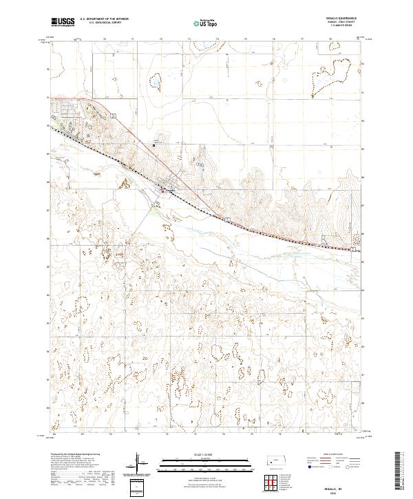 2022 Ingalls2022 Print · USGSIngalls and the Arkansas River valley are captured in this 2022 survey, showing the enduring agricultural grid of western Kansas. Researchers can locate the Ingalls-Logan Cem and trace local routes like Soule Ave and L Rd.
 - 2022 Map of Ensign SW, 2022 Print
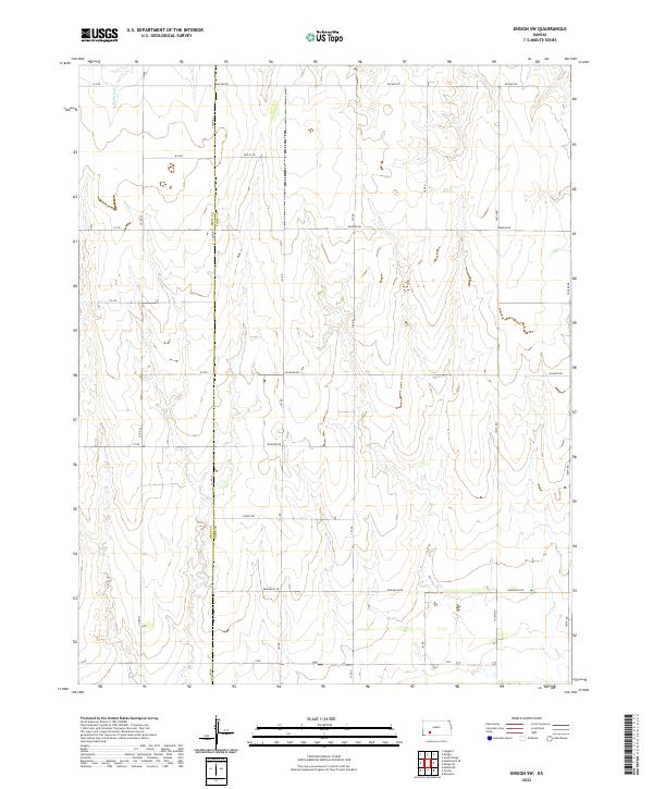 2022 Ensign SW2022 Print · USGSThe High Plains borderlands of the 2020s are captured here along the north-south divide of Gray County and Ford County. Family researchers and local historians can trace the precise grid of section roads and the winding path of Mulberry Cr near Wrangler Rd.
 - 2022 Map of Charleston, 2022 Print
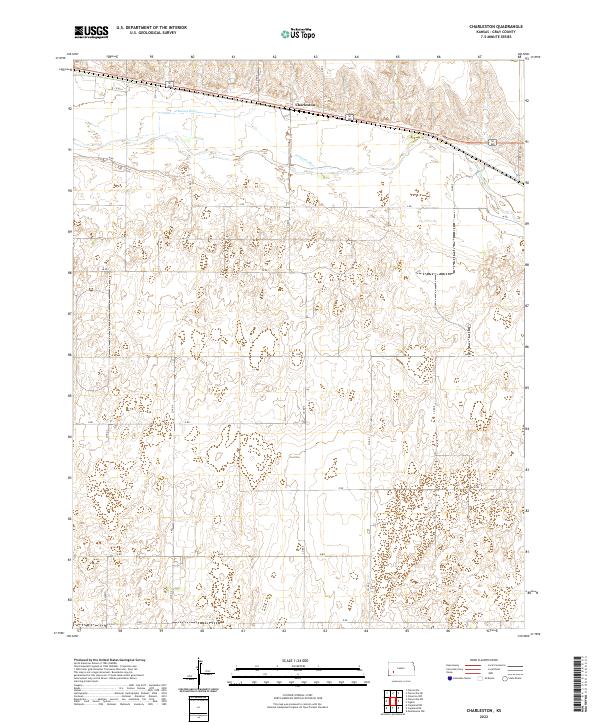 2022 Charleston2022 Print · USGSThis western Kansas landscape in the early twenty-first century is defined by the section-line roads and river bottomlands of Gray County. Trace the alignment of the Arkansas River and the settlement of Charleston along a grid of routes like CO RD 4 and CO RD 10.
 - 2022 Map of Ensign, 2022 Print
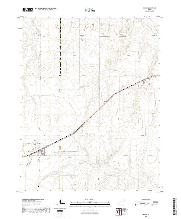 2022 Ensign2022 Print · USGSThe rural expanse of Gray and Ford Counties is captured here in the early twenty-first century as modern agricultural life continues in a historic landscape. Genealogists can trace family footprints at Johnson Cem and Ensign Cem, or explore the rail-aligned streets of Ensign.
 - 2022 Map of Haggard, 2022 Print
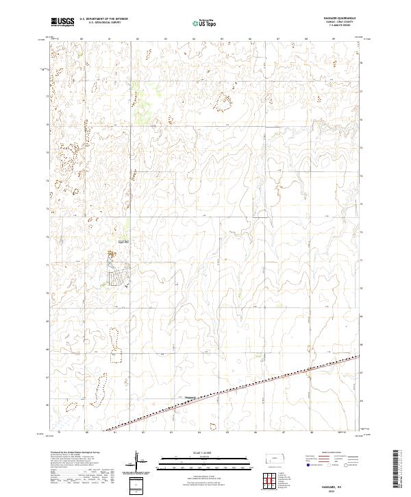 2022 Haggard2022 Print · USGSGray County's agricultural grid is meticulously documented in this survey from the early 2020s. Researchers can trace the layout of rural infrastructure around Haggard and follow established section-line routes such as Co Rd 21 and 17 Rd.
 - 2022 Map of Meade NE, 2022 Print
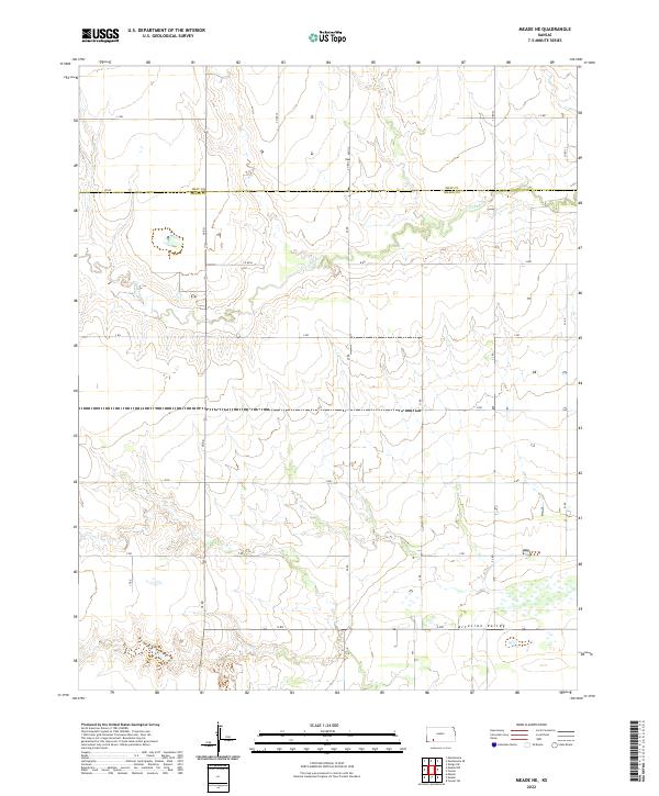 2022 Meade NE2022 Print · USGSThe High Plains at the Gray Co and Meade Co border are captured here in a detailed modern survey. Genealogists and local historians can trace the intersection of section lines and watercourses like Crooked Cr and the broad Artesian Valley.
 - 2022 Map of Meade NW, 2022 Print
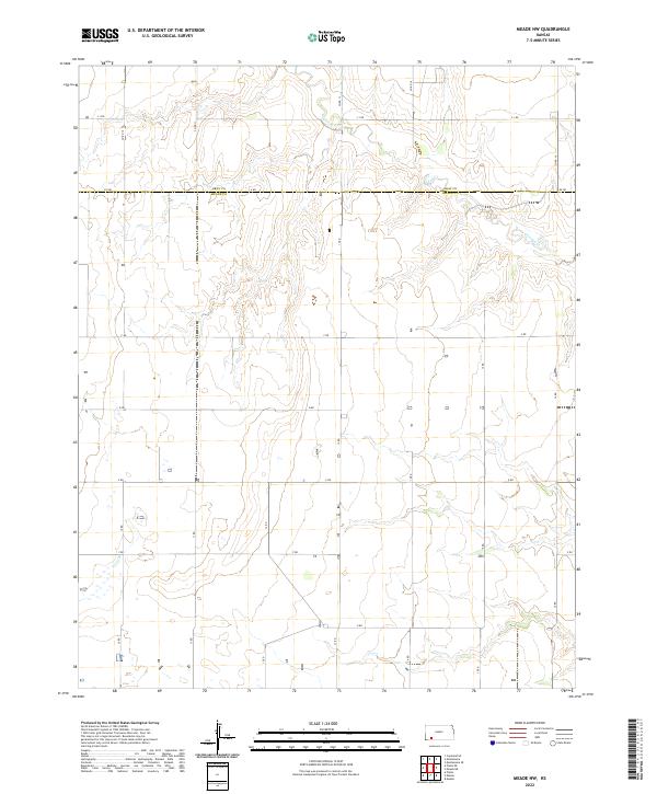 2022 Meade NW2022 Print · USGSThe high plains of southwestern Kansas come into focus here during the early 2020s, showing the intersection of Gray Co and Meade Co. Genealogists and land researchers can trace property boundaries along the sections of Crooked Cr and follow the rural grid of A Rd and F Rd.
 - 2022 Map of Dodge City SW, 2022 Print
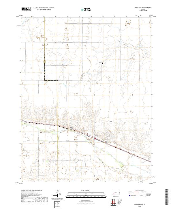 2022 Dodge City SW2022 Print · USGSFord County and Gray County, Kansas, are shown here in the early twenty-first century, centered on the river-fed agricultural lands west of Dodge City. Researchers can trace local heritage through the Ridenour Cem or follow the route of the Arkansas River past the settlement of Howell.
 - 2022 Map of Cimarron NE, 2022 Print
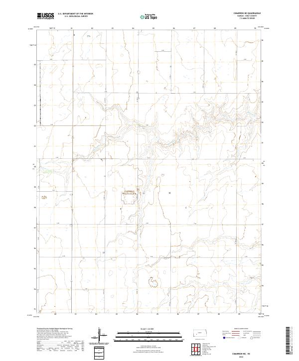 2022 Cimarron NE2022 Print · USGSGray County agriculture and the prairie drainage of Buckner Cr are documented in this recent survey. Local researchers can trace the precise section-line road network, including Co Rd 23 and G Rd, across the township grids.
 - 2022 Map of Montezuma NW, 2022 Print
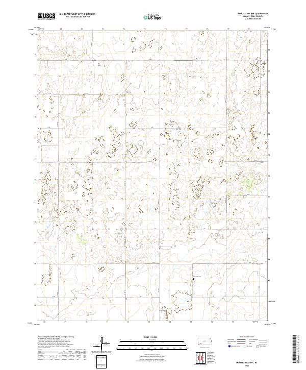 2022 Montezuma NW2022 Print · USGSGray County's agricultural grid is documented in the modern era, showing the enduring structure of western Kansas section lines. Genealogists can locate Fairview Cem and trace rural access along the distinctively named Monte Ingalls Rd.
 - 2022 Map of Pierceville, 2022 Print
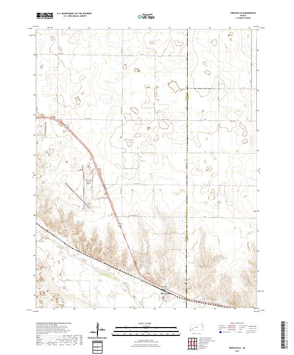 2022 Pierceville2022 Print · USGSPierceville and the surrounding Kansas plains appear here in the early 2020s, showing the intersection of river-bottom agriculture and regional aviation. Genealogists and local historians can trace family plots at Pierceville Cem and explore the area surrounding the Garden City Regional Airport.
 - 2022 Map of Dodge City NW, 2022 Print
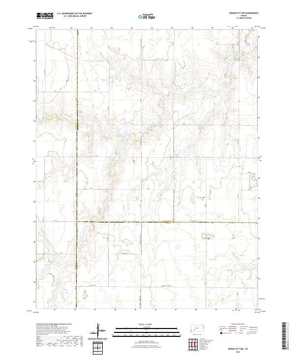 2022 Dodge City NW2022 Print · USGSThe intersection of Gray, Hodgeman, and Ford counties in western Kansas comes into focus in this early twenty-first-century survey. Genealogists and local historians can trace the landscape via Buckner Creek and landmarks like Community Hall Rd and Backtrail Rd.
 - 2022 Map of Copeland NE, 2022 Print
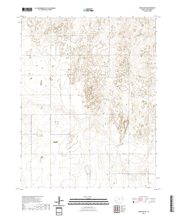 2022 Copeland NE2022 Print · USGSWestern Kansas at the start of the 2020s reveals a precision-engineered agricultural landscape defined by its expansive road grid. Researchers can trace land divisions and local routes like Co Rd 5 and Z Rd across the sections of T27S R30W.
 - 2022 Map of Copeland, 2022 Print
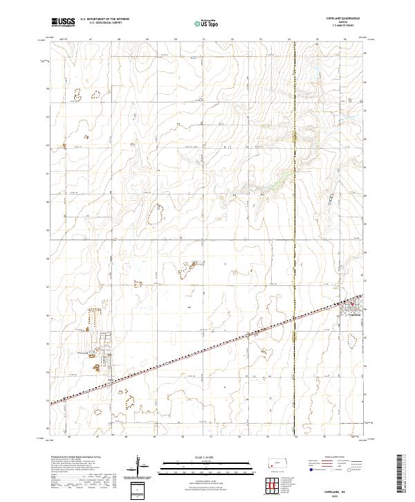 2022 Copeland2022 Print · USGSThe High Plains of Western Kansas are documented here in recent years, showing the precise intersection of Copeland and the neighboring community of Tice. Researchers can trace local property lines and roads like Somer Dr and follow the natural drainage of Crooked Cr.
 - 2022 Map of Montezuma SE, 2022 Print
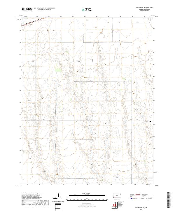 2022 Montezuma SE2022 Print · USGSSoutheastern Gray County is captured here in the early twenty-first century, showing the enduring grid of the High Plains. Genealogists and local historians can locate Cave Cem and trace the geometric road network including A A RD and CC RD.
 - 2022 Map of Plains NE, 2022 Print
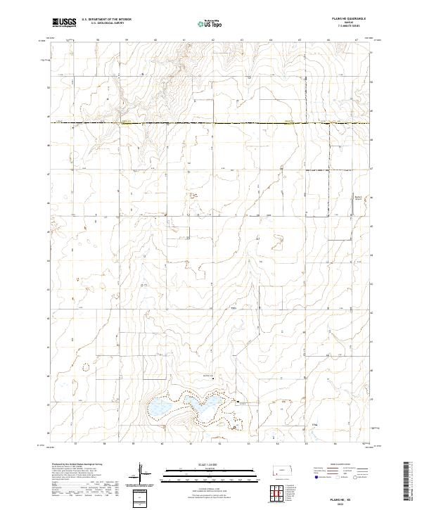 2022 Plains NE2022 Print · USGSMeade and Gray counties meet in this agricultural landscape as it appeared in the early 2020s. Genealogists and local historians can trace the rural grid to find the Mertilla Cem or locate the Rexford Airport and Spring Cr.
 - 2022 Map of Copeland NW, 2022 Print
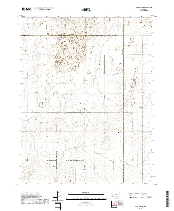 2022 Copeland NW2022 Print · USGSHaskell County at the start of the 2020s remains a landscape of high-plains agriculture and historical intersections. Researchers and genealogists can pinpoint the Colusa Cem and trace the tri-county boundaries along Haskell Co Line Rd and Tice St.
 - 2022 Map of Pierceville NE, 2022 Print
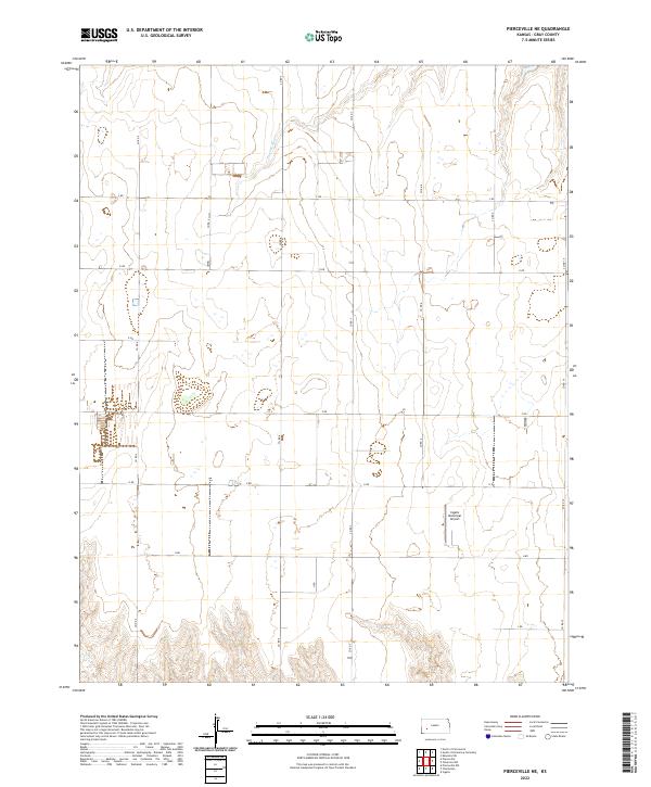 2022 Pierceville NE2022 Print · USGSGray County's agricultural heartland is documented here in the early 2020s, showing a landscape defined by the Public Land Survey System. Researchers can trace land tracts near the Pawnee River and locate regional landmarks like the Ingalls Municipal Airport.
 - 2022 Map of Pierceville SW, 2022 Print
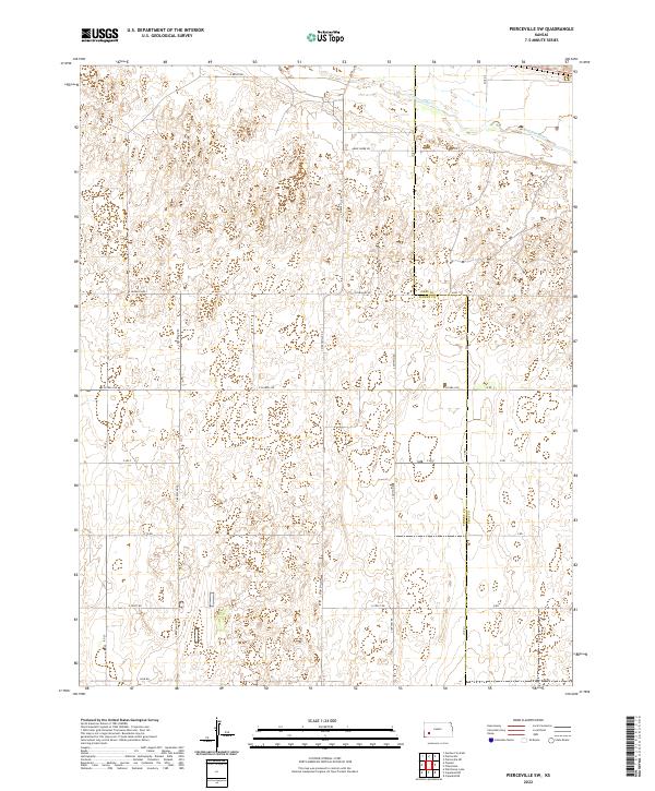 2022 Pierceville SW2022 Print · USGSFinney and Gray counties are documented here during the early 2020s, showing the intersection of the Arkansas River and the rural grid. Genealogists and local historians can trace the paths of Annie Sheer Rd and S Beefland Rd across the section lines.
 - 2022 Map of Copeland SE, 2022 Print
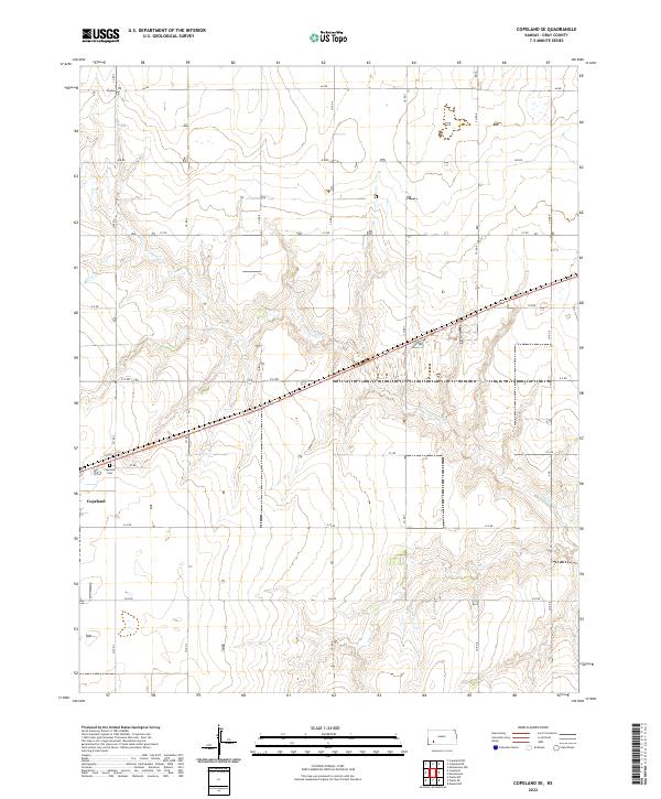 2022 Copeland SE2022 Print · USGSThe rural landscape of Gray County in the 2020s is defined by its vast agricultural grid and the winding path of Crooked Cr. Local researchers can locate the town of Copeland and the nearby Copeland Cem at the intersection of a well-developed network of section-line roads.
 - 2022 Map of Fowler, 2022 Print
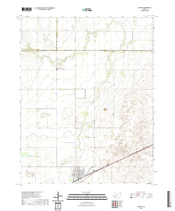 2022 Fowler2022 Print · USGSThe High Plains of Meade County come into focus in 2022, centered on the settlement of Fowler and the surrounding Artesian Valley. Researchers can locate local landmarks like Fowler Airport and family-named sites such as McCauley Cem and Wilburn Cem.
 - 2022 Map of Cimarron NW, 2022 Print
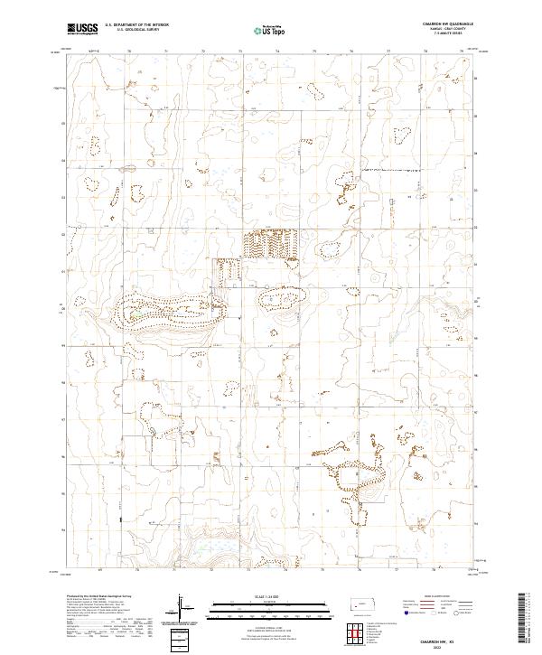 2022 Cimarron NW2022 Print · USGSGray County, Kansas, is shown in the early twenty-first century, a landscape defined by its rigid section-line roads and prairie drainage. Researchers can trace the path of Buckner Cr and the grid of rural routes like Co Rd 16 and F Rd.
 - 2022 Map of Montezuma, 2022 Print
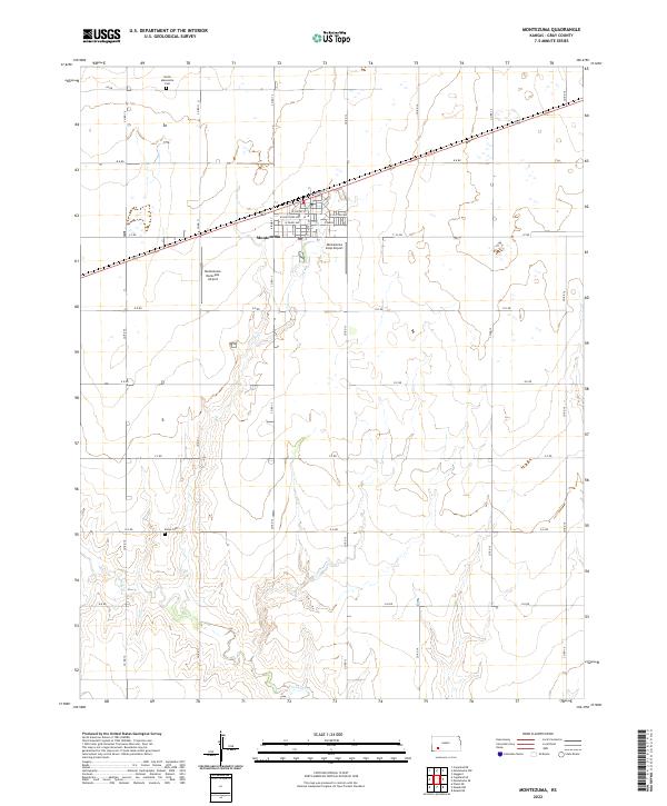 2022 Montezuma2022 Print · USGSMontezuma and the surrounding Kansas plains appear here as a meticulously organized agricultural landscape in the twenty-first century. Researchers can trace local lineage at the North Mennonite Cem and Evans Cem or explore the town's aviation history via the Montezuma Municipal Airport.
 - 2022 Map of Cimarron, 2022 Print
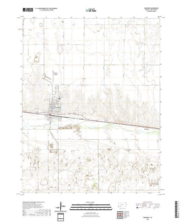 2022 Cimarron2022 Print · USGSCimarron and the surrounding Gray County plains are captured here in the early twenty-first century as the Arkansas River defines the local geography. Researchers can trace the civic heart of the county at the Gray County Courthouse or locate family sites near Cimarron Cem and Wettick.
 - 2022 Map of North of Pierceville, 2022 Print
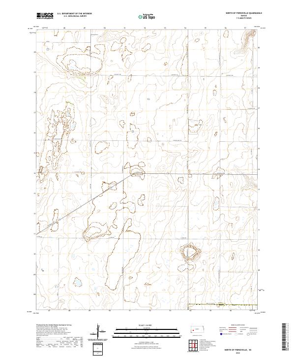 2022 North of Pierceville2022 Print · USGSFinney and Gray Counties appear here in the early twenty-first century, showing the enduring agricultural grid of the Kansas High Plains. Researchers can trace land divisions and local thoroughfares like N Little Mennonite Rd and E Kansas Ave across the Finney and Gray county line.
Showing maps 1-25 of 30
Top cities of Gray County
- Cimarron historical maps
- Montezuma historical maps
- Copeland historical maps
- Ingalls historical maps
- Ensign historical maps
Frequently asked questions
- What are the different types of historical maps available for Gray County?
- What is the oldest map of Gray County?
- Where can I purchase historical maps of Gray County for my home or office?
- Where can I download high-res historical maps of Gray County?
- Are there historical topographic maps available for Gray County?
- Is there historical aerial imagery available for Gray County?
- Where are historical maps of Gray County sourced from?