2010s Maps of Meade County, Kansas
Explore 96 historic maps of Meade County from the 2010s. These maps offer a rare glimpse into what life looked like during the 2010s — showing old roads, neighborhoods, homes, and landmarks that have changed or disappeared over time.
Whether you're researching your family's past, planning a metal detecting trip, or studying how Meade County's landscape evolved across the 2010s, these high-resolution maps are a powerful tool for exploring the history of this region.
- Focus on a specific era: All maps on this page are from the 2010s, giving you a focused view of this time period.
- See what’s changed: Compare century-old streets, trails, and buildings to today's modern landscape using overlays and satellite layers.
- Research with precision: Use these maps for genealogy, historical research, land use analysis, or educational projects.
- View, download, or print: Maps are fully viewable online in high resolution, and can be downloaded or printed for your own records.
Start exploring Meade County's history through authentic maps from the 2010s. This is your window into the past.
Meade County, KS maps
(96)- 2010 Map of Plains NE, 2010 Print
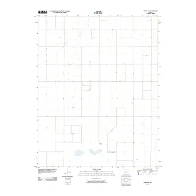 2010 Plains NE2010 Print · USGSGray County’s agricultural landscape is captured here in the early twenty-first century, showing the precise grid of section roads and rural homesteads. Genealogists and local researchers can locate the Mertilla Cemetery or trace the routes along Co Rd F and B Rd.
 - 2010 Map of Irish Flats NE, 2010 Print
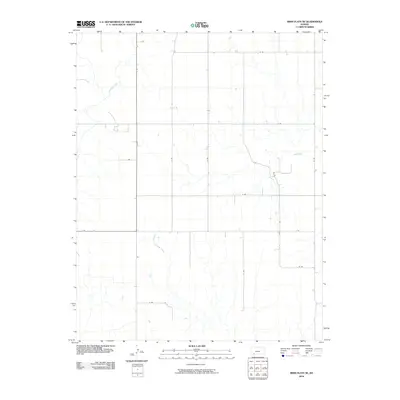 2010 Irish Flats NE2010 Print · USGSMeade County, Kansas, is shown here as it appeared in the early 21st century, defined by its vast agricultural grid and winding prairie waterways. Researchers can trace the path of Crooked Creek and locate rural homesteads along V Rd and 19 Rd.
 - 2010 Map of Kismet NE, 2010 Print
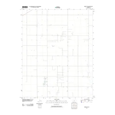 2010 Kismet NE2010 Print · USGSMeade County agricultural lands are captured here during the first decade of the new millennium, showcasing a landscape of high plains ranching and farming. Researchers can trace rural property access along the rigid grid of section roads like O Rd and S RD or follow the natural course of Shorts Creek.
 - 2010 Map of Kismet, 2010 Print
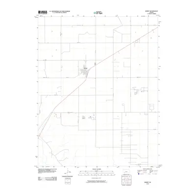 2010 Kismet2010 Print · USGSKismet and its surrounding Seward County farmland are captured here in the early twenty-first century as a testament to the high plains agricultural grid. Researchers can trace the layout of the local community at Kismet and follow rural routes like Meade Lake Rd and Triple Rd.
 - 2010 Map of Lake Meade, 2010 Print
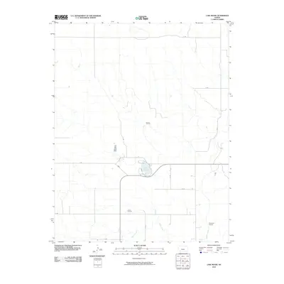 2010 Lake Meade2010 Print · USGSMeade County, Kansas, is documented here in the early twenty-first century as a land of High Plains prairie and vital watercourses. Genealogists and local historians can locate the Seward Cemetery and Atwater Cemetery or trace the drainage of Shorts Creek into Lake Meade.
 - 2010 Map of Proffitt Lake, 2010 Print
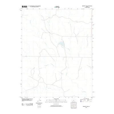 2010 Proffitt Lake2010 Print · USGSMeade County at the start of the twenty-first century reveals a landscape shaped by the High Plains drainage network. Researchers can trace the winding paths of Big Sandy Creek and Indian Creek as they converge near Proffitt Lake.
 - 2010 Map of Minneola, 2010 Print
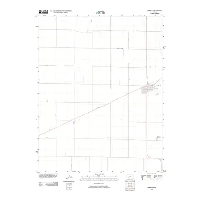 2010 Minneola2010 Print · USGSMinneola and the surrounding Clark County plains are shown here at the start of the decade, anchored by the town's distinct residential grid. Genealogists and local researchers can trace family landmarks like the Minneola Cemetery or the site of the Kennedy Glider Port along US Hwy 54.
 - 2010 Map of Plains SW, 2010 Print
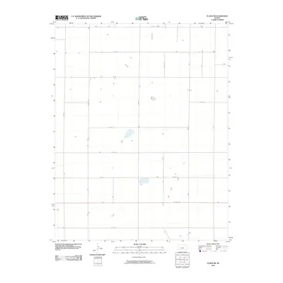 2010 Plains SW2010 Print · USGSSeward County in the early 21st century remains a landscape of precise agricultural geometry and quiet rural homesteads. Local historians and land researchers can trace property access and land use along US Hwy 160, Rosson Rd, and Co Rd 20.
 - 2010 Map of Plains NW, 2010 Print
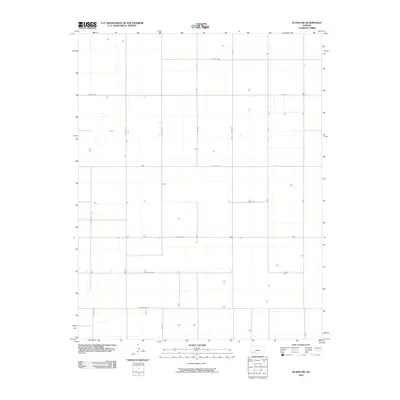 2010 Plains NW2010 Print · USGSSeward County's agricultural heartland is documented here in the early 21st century, showing the precise grid of the High Plains. Genealogists and historians can trace rural property access and farmstead locations along Co Rd Uu, K K Rd, and Co Rd 180.
 - 2010 Map of Missler, 2010 Print
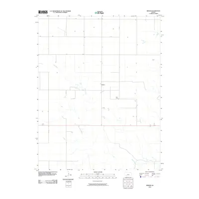 2010 Missler2010 Print · USGSMissler and the surrounding Meade County plains are captured here in the early twenty-first century. Researchers can trace the path of Spring Creek across the section-line grid or locate early infrastructure along Co Rd 11 and the main corridor of 160 54.
 - 2010 Map of Proffitt Lake NW, 2010 Print
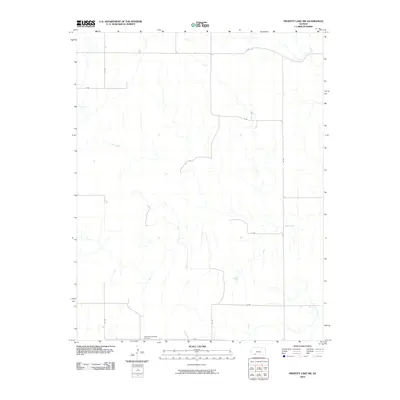 2010 Proffitt Lake NW2010 Print · USGSMeade County, Kansas, is captured here in the early twenty-first century, showcasing a landscape of structured agricultural roads and prairie drainages. Researchers can locate the Little Congregational Cemetery and trace the paths of Sand Creek and Twomile Creek.
 - 2010 Map of Fowler, 2010 Print
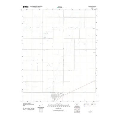 2010 Fowler2010 Print · USGSMeade County is captured here in the early twenty-first century, centered on the rural town of Fowler. Researchers can trace the layout of the local street grid or locate family burial sites at Wilburn Cemetery and McCauley Cemetery.
 - 2010 Map of Fowler SE, 2010 Print
 2010 Fowler SE2010 Print · USGSMeade County, Kansas, is shown at the start of the 2010s, defined by its vast agricultural grid and winding prairie drainages. Researchers can trace local watercourses like Johns Creek and the intersection of H Rd and N Rd across this rural landscape.
 - 2010 Map of Plains, 2010 Print
 2010 Plains2010 Print · USGSThe rural expanse of Meade County in 2010 is captured here, showing the agricultural grid and small settlements of the Kansas High Plains. Genealogists and local historians can trace the streets of Plains or locate regional landmarks like Hobart and the Plains Municipal Airport.
 - 2010 Map of Meade NE, 2010 Print
 2010 Meade NE2010 Print · USGSArtesian Valley and the High Plains of Gray County are shown here in the early 21st century. Researchers can trace the path of Crooked Creek or locate the industrial footprint of the Cudahay Mine among the rural section roads like G Rd and F Rd.
 - 2010 Map of Meade NW, 2010 Print
 2010 Meade NW2010 Print · USGSGray County’s agricultural landscape is shown here in the early twenty-first century, structured by a vast grid of rural section roads. Genealogists and local historians can trace family farmsteads and property access along Crooked Creek, J J Rd, and 13 Rd.
 - 2010 Map of Fowler SW, 2010 Print
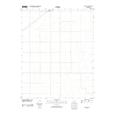 2010 Fowler SW2010 Print · USGSMeade County, Kansas, is seen here at the start of the 2010s as a landscape of structured ranching and prairie drainage. Genealogists and local historians can trace the intersection of Sand Hill Rd near Fowler Cemetery and the path of Crooked Creek.
 - 2010 Map of Meade, 2010 Print
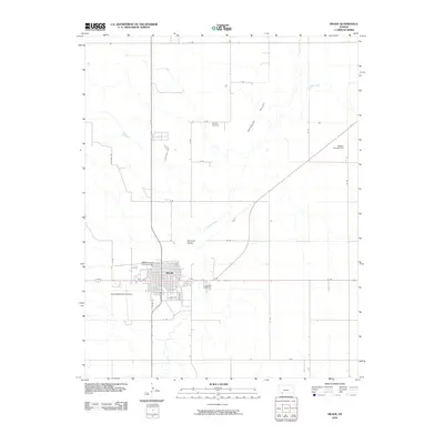 2010 Meade2010 Print · USGSMeade County during the early twenty-first century reveals a landscape where the town of Meade sits amidst the productive Artesian Valley. Researchers can locate family sites near Lockhart Cemetery, the Meade County Fairgrounds, and the winding Crooked Creek.
 - 2010 Map of Kismet SE, 2010 Print
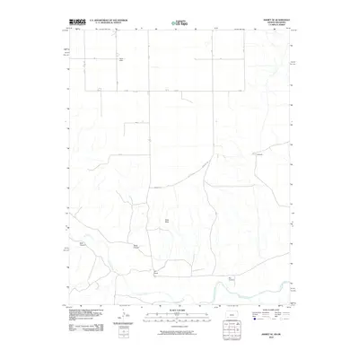 2010 Kismet SE2010 Print · USGSThe Oklahoma panhandle and the Cimarron breaks are shown here in the early twenty-first century as a landscape of large-scale ranching and river drainage. Genealogists and researchers can locate the Xi Ranch, Xit Ranch, and natural landmarks like Table Mesa.
 - 2010 Map of Proffitt Lake SW, 2010 Print
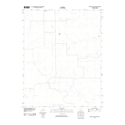 2010 Proffitt Lake SW2010 Print · USGSThe Kansas-Oklahoma borderlands appear here in the early twenty-first century, showing a landscape defined by prairie watercourses and grid roads. Genealogists can locate Little Congregational Cemetery and Butler Cemetery, while pilots might recognize the Painter Landing Strip.
 - 2010 Map of Irish Flats SE, 2010 Print
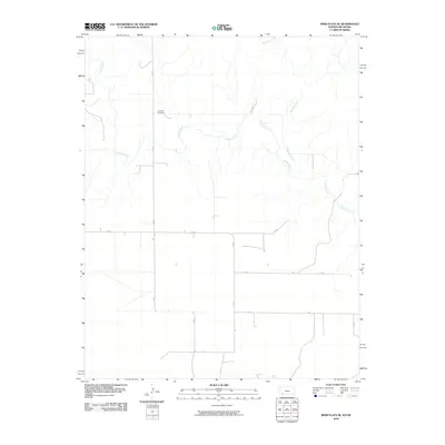 2010 Irish Flats SE2010 Print · USGSBeaver County, Oklahoma, is shown in the early twenty-first century as a landscape of grid-aligned roads and prairie drainages. Genealogists can locate the Lutheran Cemetery while researchers trace the paths of Crooked Creek and Remuda Creek.
 - 2010 Map of Mount Helen, 2010 Print
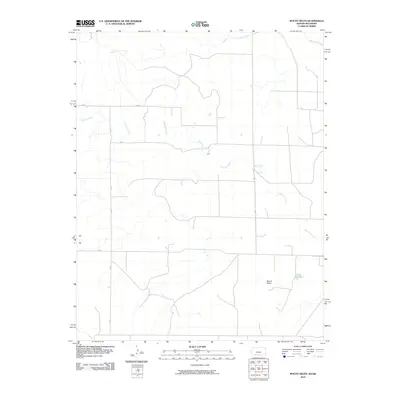 2010 Mount Helen2010 Print · USGSThe Oklahoma Panhandle is shown in the early twenty-first century, featuring the rural landscape around Mount Helen. Genealogists and historians can trace local water sources and section-line routes like Fivemile Creek and EE Rd across this part of Beaver County.
 - 2010 Map of Irish Flats, 2010 Print
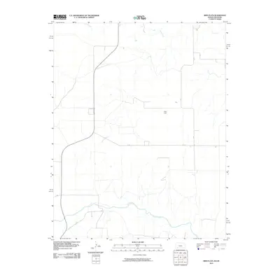 2010 Irish Flats2010 Print · USGSBeaver County and the Oklahoma panhandle appear here in the early twenty-first century, showing a landscape defined by its essential watercourses. Researchers can trace the path of the Cimarron River and locate local landmarks like Irish Flats and Skunkie Arroyo.
 - 2010 Map of Kismet SW, 2010 Print
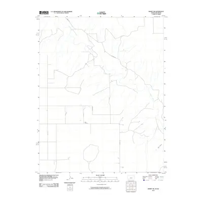 2010 Kismet SW2010 Print · USGSSeward County, Kansas, is shown at the turn of the millennium as a landscape defined by the winding Cimarron River and rural township grids. Researchers can locate the Bixler Cemetery and trace local routes like Salvage Rd and Co River Rd.
 - 2012 Map of Proffitt Lake SW, 2012 Print
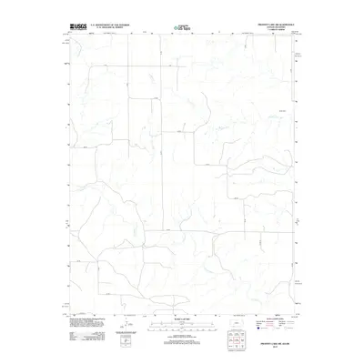 2012 Proffitt Lake SW2012 Print · USGSThe Oklahoma Panhandle is shown in the early twenty-first century as a landscape of geometric precision and sparse prairie drainages. Genealogists and local historians can trace the intersection of section-line routes and family landmarks like the Butler Cem and Fivemile Cr.
Showing maps 1-25 of 96
Top cities of Meade County
Frequently asked questions
- What are the different types of historical maps available for Meade County?
- What is the oldest map of Meade County?
- Where can I purchase historical maps of Meade County for my home or office?
- Where can I download high-res historical maps of Meade County?
- Are there historical topographic maps available for Meade County?
- Is there historical aerial imagery available for Meade County?
- Where are historical maps of Meade County sourced from?