2010s Maps of Seward County, Kansas
Explore 80 historic maps of Seward County from the 2010s. These maps offer a rare glimpse into what life looked like during the 2010s — showing old roads, neighborhoods, homes, and landmarks that have changed or disappeared over time.
Whether you're researching your family's past, planning a metal detecting trip, or studying how Seward County's landscape evolved across the 2010s, these high-resolution maps are a powerful tool for exploring the history of this region.
- Focus on a specific era: All maps on this page are from the 2010s, giving you a focused view of this time period.
- See what’s changed: Compare century-old streets, trails, and buildings to today's modern landscape using overlays and satellite layers.
- Research with precision: Use these maps for genealogy, historical research, land use analysis, or educational projects.
- View, download, or print: Maps are fully viewable online in high resolution, and can be downloaded or printed for your own records.
Start exploring Seward County's history through authentic maps from the 2010s. This is your window into the past.
Seward County, KS maps
(80)- 2010 Map of Ryus, 2010 Print
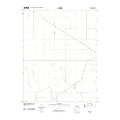 2010 Ryus2010 Print · USGSGrant County is captured in the early twenty-first century, showing the intersection of high plains agriculture and major transit corridors. Researchers can trace the path of the Cimarron River or locate the rural settlement of Ryus along State Hwy 190.
 - 2010 Map of Kismet, 2010 Print
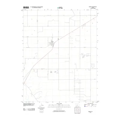 2010 Kismet2010 Print · USGSKismet and its surrounding Seward County farmland are captured here in the early twenty-first century as a testament to the high plains agricultural grid. Researchers can trace the layout of the local community at Kismet and follow rural routes like Meade Lake Rd and Triple Rd.
 - 2010 Map of Sublette SE, 2010 Print
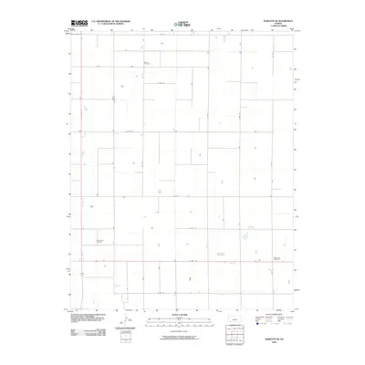 2010 Sublette SE2010 Print · USGSSeward County at the start of the 2010s shows a vast agricultural grid defined by the intersection of US Hwy 160 and US Hwy 83. Local historians can trace family roots through rural landmarks like Banner Cemetery and the Mennonite Cemetery.
 - 2010 Map of Woods, 2010 Print
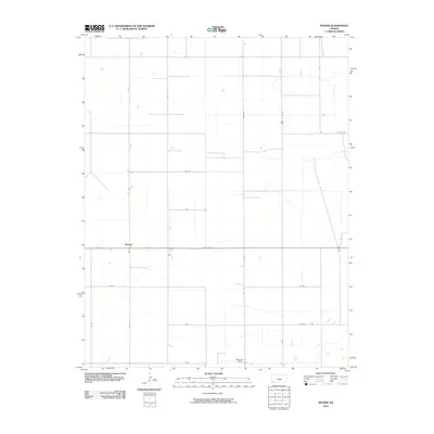 2010 Woods2010 Print · USGSThe High Plains of southwest Kansas are captured here in the early twenty-first century, showcasing the region's structured agricultural grid. Researchers can trace the layout of local rural hubs like Woods and Pleasant Valley along corridors such as State Hwy 51 and Marteney.
 - 2010 Map of Moscow SE, 2010 Print
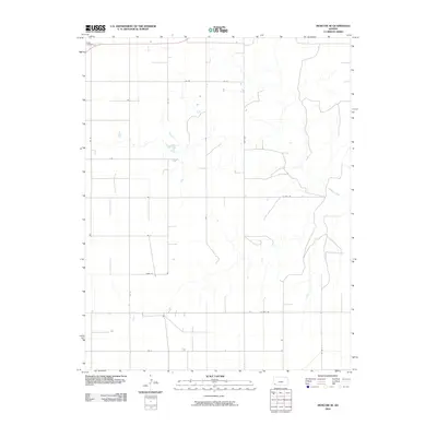 2010 Moscow SE2010 Print · USGSSeward County at the start of the 2010s reflects the enduring agricultural structure of the Kansas High Plains. Researchers can trace land divisions and local history through features like O'Dea Cemetery, the winding Cimarron River, and Marteney.
 - 2010 Map of Plains SW, 2010 Print
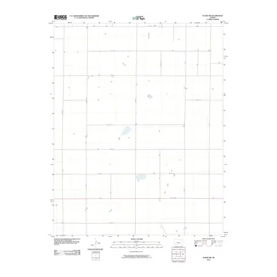 2010 Plains SW2010 Print · USGSSeward County in the early 21st century remains a landscape of precise agricultural geometry and quiet rural homesteads. Local historians and land researchers can trace property access and land use along US Hwy 160, Rosson Rd, and Co Rd 20.
 - 2010 Map of Hayne, 2010 Print
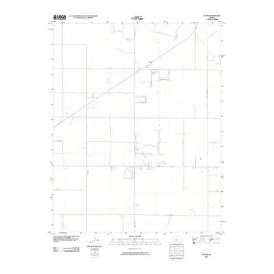 2010 Hayne2010 Print · USGSSeward County in the early twenty-first century reveals a landscape of precision agricultural grids and quiet rural settlements. Researchers can trace the layout of Hayne and its surrounding network of local lanes like Andrew Ln and Telzey Ln.
 - 2010 Map of Sublette SW, 2010 Print
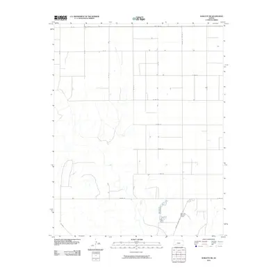 2010 Sublette SW2010 Print · USGSSeward County at the start of the 2010s reveals a structured landscape of high-plains agriculture and specialized aviation. Researchers can trace the section-line grid through landmarks like the Supreme Feeders Airport and major rural routes including State Hwy 190.
 - 2010 Map of Satanta, 2010 Print
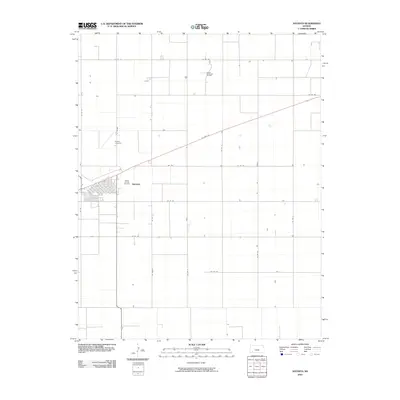 2010 Satanta2010 Print · USGSSatanta and the surrounding Kansas plains are shown here in the early twenty-first century as a landscape defined by agriculture and energy. Researchers can locate Dudley Cemetery and trace the extent of the Victory Oil and Gas Field near the town center.
 - 2010 Map of Plains NW, 2010 Print
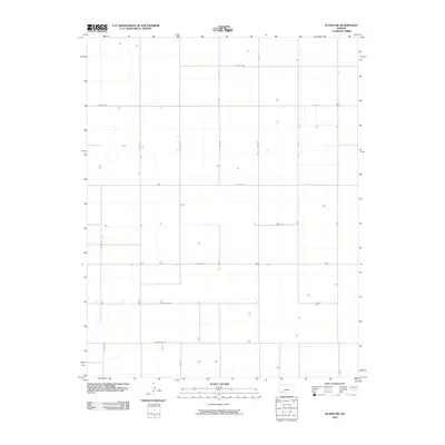 2010 Plains NW2010 Print · USGSSeward County's agricultural heartland is documented here in the early 21st century, showing the precise grid of the High Plains. Genealogists and historians can trace rural property access and farmstead locations along Co Rd Uu, K K Rd, and Co Rd 180.
 - 2010 Map of Liberal, 2010 Print
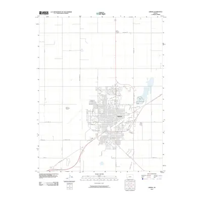 2010 Liberal2010 Print · USGSLiberal at the start of the decade shows a community balancing its railroad roots with modern aviation and suburban growth. Researchers can trace family sites at the Liberal Cemetery or follow the path of commerce along Railroad Ave and near the Liberal Municipal Airport.
 - 2010 Map of Woods SE, 2010 Print
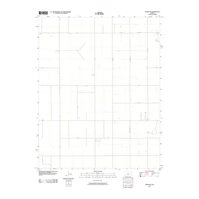 2010 Woods SE2010 Print · USGSSeward County at the start of the 2010s reflects the enduring geometry of the high plains. Researchers can trace the rural property layout along Wide Awake Rd, Wettstein Rd, and the distinct path of Second Street Rd.
 - 2010 Map of Liberal NW, 2010 Print
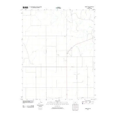 2010 Liberal NW2010 Print · USGSSeward County at the start of the 2010s shows a landscape defined by the intersection of the Cimarron River and a precise grid of rural roads. Genealogists and local historians can trace modern land divisions along Ben Jerman Rd and 9 Mile Rd.
 - 2010 Map of Sublette, 2010 Print
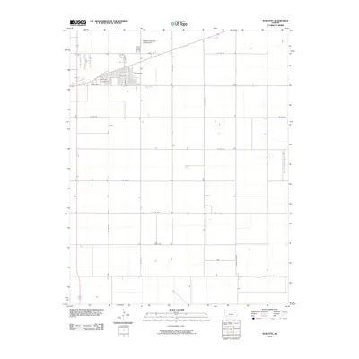 2010 Sublette2010 Print · USGSThe High Plains town of Sublette is shown during a period of steady agricultural growth in the early twenty-first century. Researchers can trace the layout of the town's residential streets and locate local landmarks such as the Sublette Flying Club Landing Strip and Hammer Rd 1.
 - 2010 Map of Liberal NE, 2010 Print
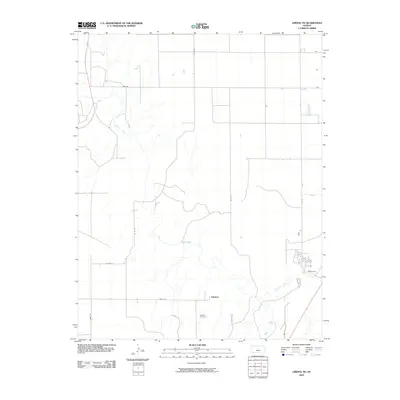 2010 Liberal NE2010 Print · USGSThe High Plains of Southwest Kansas are centered here near the Cimarron River during the early 21st century. Genealogists and local historians can trace the legacy of the area through Arkalon Cemetery and the original footprint of the Arkalon settlement.
 - 2010 Map of Little Ponderosa, 2010 Print
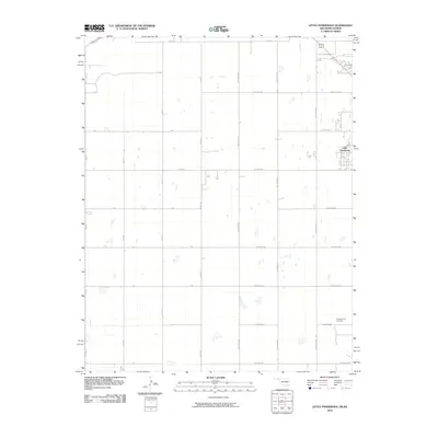 2010 Little Ponderosa2010 Print · USGSThe Oklahoma-Kansas border at the turn of the millennium reveals a structured agricultural landscape defined by its section-line road network. Genealogists and local historians can locate Independence Cemetery and the settlement of Little Ponderosa along Short Creek.
 - 2010 Map of Turpin NE, 2010 Print
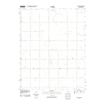 2010 Turpin NE2010 Print · USGSThe Seward County plains at the turn of the decade reveal a strictly organized agricultural landscape along the Kansas-Oklahoma line. Genealogists and local historians can locate rural burial sites like Union Cemetery and Turpin Cemetery tucked among the section roads.
 - 2010 Map of Tyrone, 2010 Print
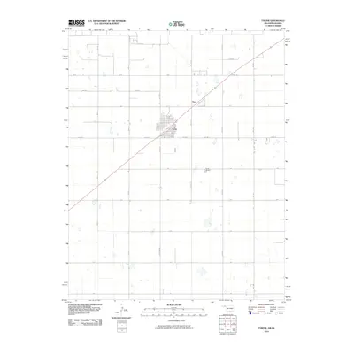 2010 Tyrone2010 Print · USGSTexas County, Oklahoma, is shown in the early twenty-first century as a landscape of structured ranch roads and quiet settlements. Genealogists and local historians can locate the Tyrone Cemetery and trace the development of Tyrone and Fluor along the diagonal rail corridor.
 - 2010 Map of Beaver NW, 2010 Print
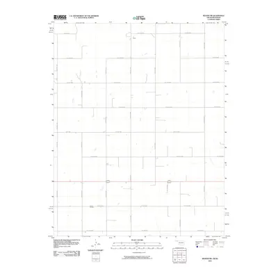 2010 Beaver NW2010 Print · USGSSeward County and the Oklahoma borderlands are captured here in the early 2000s, showing a landscape defined by the section-line grid. Researchers can locate remote burial sites at Midway Cemetery and trace the boundaries of the LT Ranch.
 - 2010 Map of Kismet SW, 2010 Print
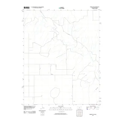 2010 Kismet SW2010 Print · USGSSeward County, Kansas, is shown at the turn of the millennium as a landscape defined by the winding Cimarron River and rural township grids. Researchers can locate the Bixler Cemetery and trace local routes like Salvage Rd and Co River Rd.
 - 2012 Map of Woods, 2012 Print
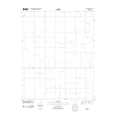 2012 Woods2012 Print · USGSThe Stevens County prairie is organized by a disciplined grid of section roads in the early twenty-first century. Genealogists and local historians can trace family land boundaries and the layout of rural hubs like Woods and Pleasant Valley along Hamlin Rd.
 - 2012 Map of Liberal NE, 2012 Print
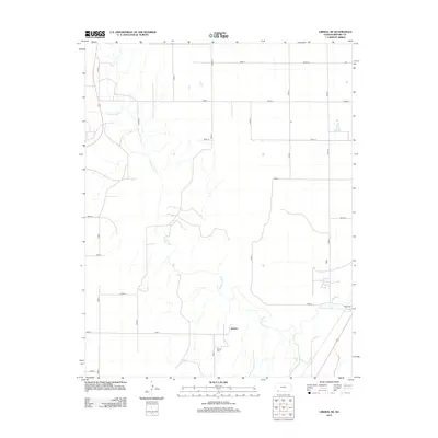 2012 Liberal NE2012 Print · USGSSeward County, Kansas, reveals its modern agricultural and riverfront character in the early 2010s. Genealogists and local historians can trace the area surrounding Arkalon, locating the Arkalon Cem and the small settlement of Shamrock near the Cimarron River.
 - 2012 Map of Plains SW, 2012 Print
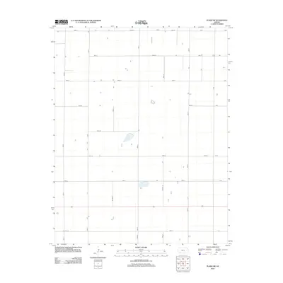 2012 Plains SW2012 Print · USGSSeward County at the start of the 2010s reveals a highly structured landscape of large-scale agriculture and section-line roads. Genealogists and local historians can trace the precise location of rural farmsteads along the grid of Road V, Road 17, and Road 23.
 - 2012 Map of Sublette SE, 2012 Print
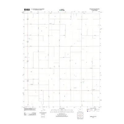 2012 Sublette SE2012 Print · USGSSeward County's agricultural grid is captured here just after the turn of the millennium, showing a landscape shaped by rural tradition. Genealogists can locate important local burial sites like Banner Cem, Springfield Cem, and the Mennonite Cem.
 - 2012 Map of Sublette, 2012 Print
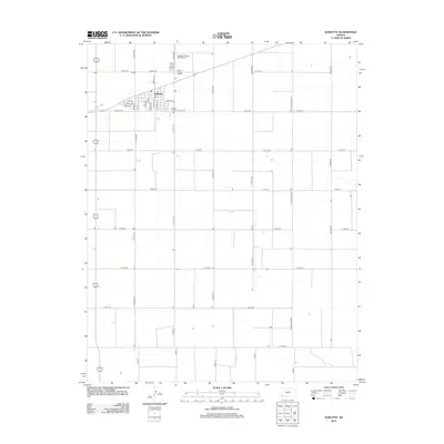 2012 Sublette2012 Print · USGSSublette and the surrounding Kansas plains are documented here in the early twenty-first century, showing the organized agricultural grid of Haskell County. Researchers can locate the Haskell County Fairgrounds, the local PO, and the namesake Co Road Railroad that defines the local economy.
Showing maps 1-25 of 80
Top cities of Seward County
Frequently asked questions
- What are the different types of historical maps available for Seward County?
- What is the oldest map of Seward County?
- Where can I purchase historical maps of Seward County for my home or office?
- Where can I download high-res historical maps of Seward County?
- Are there historical topographic maps available for Seward County?
- Is there historical aerial imagery available for Seward County?
- Where are historical maps of Seward County sourced from?