2000s (21st Century) Maps of Stanton County, Kansas
Explore 75 historic maps of Stanton County from the 2000s (21st Century). These maps offer a rare glimpse into what life looked like during the 2000s — showing old roads, neighborhoods, homes, and landmarks that have changed or disappeared over time.
Whether you're researching your family's past, planning a metal detecting trip, or studying how Stanton County's landscape evolved across the 2000s, these high-resolution maps are a powerful tool for exploring the history of this region.
- Focus on a specific era: All maps on this page are from the 2000s, giving you a focused view of this time period.
- See what’s changed: Compare century-old streets, trails, and buildings to today's modern landscape using overlays and satellite layers.
- Research with precision: Use these maps for genealogy, historical research, land use analysis, or educational projects.
- View, download, or print: Maps are fully viewable online in high resolution, and can be downloaded or printed for your own records.
Start exploring Stanton County's history through authentic maps from the 2000s. This is your window into the past.
Stanton County, KS maps
(75)- 2010 Map of Manter, 2010 Print
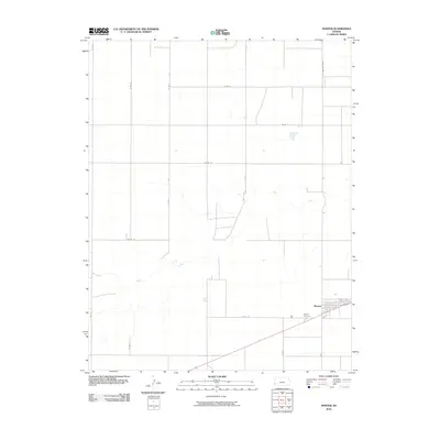 2010 Manter2010 Print · USGSManter and the surrounding Stanton County plains are captured here during the early 2000s, showing a landscape defined by cardinal-direction section roads. Genealogists and local historians can trace the town site near Manter Cemetery and the wandering path of Bear Creek.
 - 2010 Map of Big Bow NW, 2010 Print
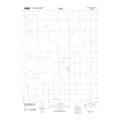 2010 Big Bow NW2010 Print · USGSStanton County's high plains landscape was defined by a rigid section-line grid and the winding path of Bear Creek during the early 2000s. Genealogists and local historians can trace family ties at Mitchell Cemetery or follow the routes of N Rd K and E Rd 7.
 - 2010 Map of Johnson West, 2010 Print
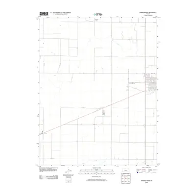 2010 Johnson West2010 Print · USGSStanton County at the turn of the decade displays the classic geometric precision of the High Plains agricultural grid. Researchers can trace the rural layout around Johnson, locating the County Cemetery and seasonal waterways like Sand Arroyo Creek.
 - 2010 Map of Johnson East, 2010 Print
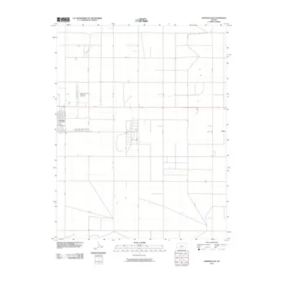 2010 Johnson East2010 Print · USGSThe High Plains of Stanton County are shown in detail during the early twenty-first century, centered on the grid of the county seat. Genealogists and local historians can trace the layout of Johnson and the outlying settlement of Julian near Sand Arroyo Creek.
 - 2010 Map of Shore Airport NE, 2010 Print
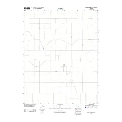 2010 Shore Airport NE2010 Print · USGSSullivan Township and the High Plains of Southwest Kansas are documented here in the early twenty-first century. Genealogists and local historians can trace the rural landscape near Liverpool Cemetery and follow the path of the North Fork Cimarron River.
 - 2010 Map of Big Bow NE, 2010 Print
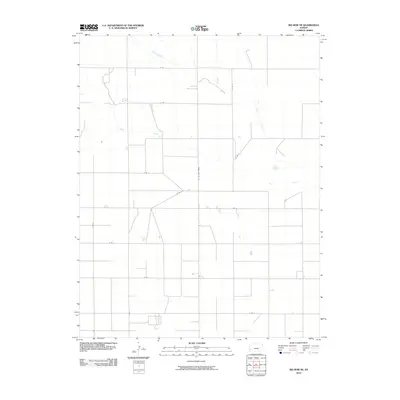 2010 Big Bow NE2010 Print · USGSGrant County agricultural lands are shown in the early twenty-first century, revealing a precise grid of rural transit corridors. Researchers can trace the path of Bear Creek and the distinctive diagonal of the N "Big Bow" Grade through the township.
 - 2010 Map of Richfield NE, 2010 Print
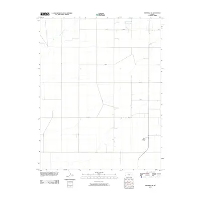 2010 Richfield NE2010 Print · USGSStanton County at the start of the 2010s shows the enduring geometric pattern of the High Plains agricultural grid. Researchers can trace the path of Sand Arroyo Creek and locate the private aviation site at Johns Landing Field along State Hwy 27.
 - 2010 Map of Big Bow, 2010 Print
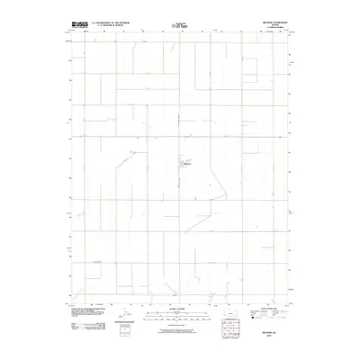 2010 Big Bow2010 Print · USGSSherman Township at the start of the twenty-first century remains a landscape of precise agricultural geometry centered on the small community of Big Bow. Researchers can trace local section lines and rural routes like N Big Bow Grade as they converge near Sand Arroyo Creek.
 - 2010 Map of Johnson NW, 2010 Print
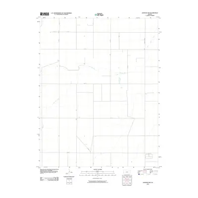 2010 Johnson NW2010 Print · USGSStanton County's high plains are shown in the early 21st century, defined by an expansive grid of rural section roads and agricultural lands. Researchers can trace the path of Little Bear Creek across the prairie and locate isolated infrastructure like a noted Well and the N Manter Grade.
 - 2010 Map of Richfield NW, 2010 Print
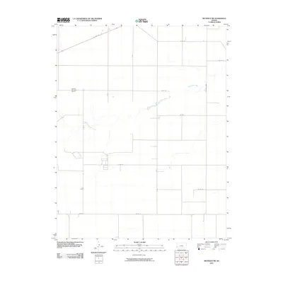 2010 Richfield NW2010 Print · USGSStanton County at the start of the decade reveals a highly organized agricultural landscape in the High Plains. Researchers can trace the intersection of regional transit at US Hwy 160 and follow the natural drainage of Sand Arroyo Creek past the Satanta Municipal Airport.
 - 2010 Map of Shore Airport, 2010 Print
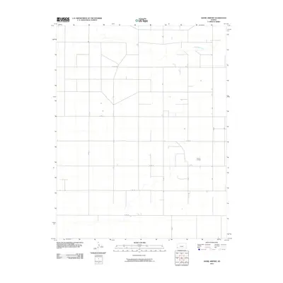 2010 Shore Airport2010 Print · USGSStanton County, Kansas, in the early 2000s is shown here as a landscape of precision agricultural grids and remote aviation. Researchers can trace the path of Sand Arroyo Creek or locate local landmarks like the Shore Airport at the intersection of S Rd G and E Rd 23.
 - 2010 Map of Johnson NE, 2010 Print
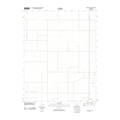 2010 Johnson NE2010 Print · USGSThe high plains of Stanton County appear in the early twenty-first century as a meticulously gridded landscape of agricultural roads and seasonal watercourses. Researchers can trace the path of Little Bear Creek and locate a Gaging Station near State Hwy 27.
 - 2010 Map of Lycan NE, 2010 Print
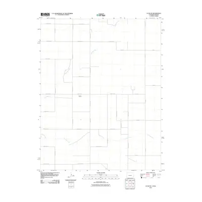 2010 Lycan NE2010 Print · USGSStanton County's rural landscape is captured here in the early twenty-first century, defined by a vast grid of section roads and seasonal creek beds. Researchers can locate the historic Amerine Cemetery and trace the paths of North Bear Creek and Little Bear Creek as they wind through the plains.
 - 2010 Map of Lycan SE, 2010 Print
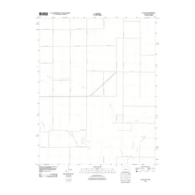 2010 Lycan SE2010 Print · USGSThe high plains of the Kansas-Colorado border appear here in the early twenty-first century as a precision grid of rural transport. Researchers can trace the drainage of Beaty Creek and the curiously named County Road Railroad across the landscape.
 - 2010 Map of Saunders, 2010 Print
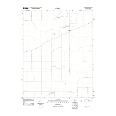 2010 Saunders2010 Print · USGSWestern Kansas at the turn of the decade displays a meticulously gridded landscape shaped by water management and prairie life. Local historians can trace family roots at Konantz Cemetery or examine the network of dams and reservoirs like Burchfield Lake and the Hoopengarner SW-4 Reservoir.
 - 2012 Map of Big Bow, 2012 Print
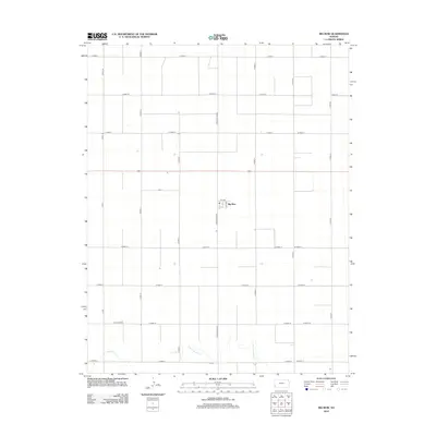 2012 Big Bow2012 Print · USGSBig Bow and the surrounding Sherman Township are captured here in the early twenty-first century, showcasing the persistent grid of the High Plains. Genealogists and land researchers can trace property boundaries along N Big Bow Grade or locate the rural settlement at Big Bow near the seasonal waters of Sand Arroyo Cr.
 - 2012 Map of Shore Airport NE, 2012 Print
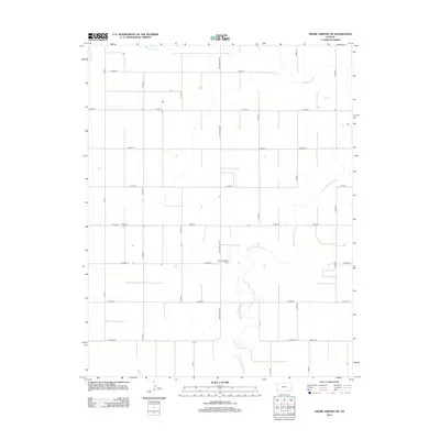 2012 Shore Airport NE2012 Print · USGSSullivan Township and the surrounding Grant County countryside are shown here during the early twenty-first century. Genealogists and local historians can locate Liverpool Cem and trace rural infrastructure along S Big Bow Grade and the N Fork Cimarron River.
 - 2012 Map of Johnson NW, 2012 Print
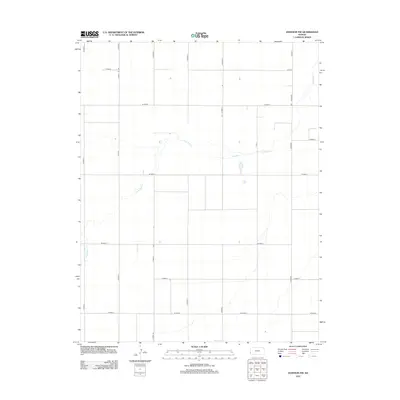 2012 Johnson NW2012 Print · USGSStanton County's high plains are shown here in the early twenty-first century, revealing the precise geometric layout of Kansas's rural agricultural interior. Genealogists and land researchers can trace property lines along N Manter and follow the path of Little Bear Cr.
 - 2012 Map of Johnson East, 2012 Print
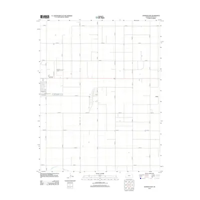 2012 Johnson East2012 Print · USGSThe Western Kansas high plains come into focus in this early twenty-first-century survey of the Stanton County landscape. Genealogists and local historians can trace the outskirts of the county seat through the Stanton County Fairgrounds, the small community of Julian, and the winding path of Sand Arroyo Cr.
 - 2012 Map of Shore Airport, 2012 Print
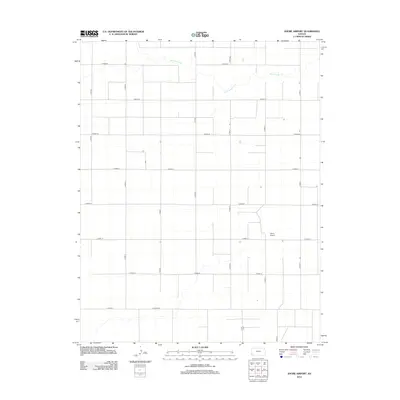 2012 Shore Airport2012 Print · USGSStanton County, Kansas, is captured here in the early twenty-first century as a landscape of precision-grid agriculture and rural aviation. Researchers can trace the section-line roads and natural drainages like Sand Arroyo Cr or locate the namesake Shore Airport.
 - 2012 Map of Richfield NW, 2012 Print
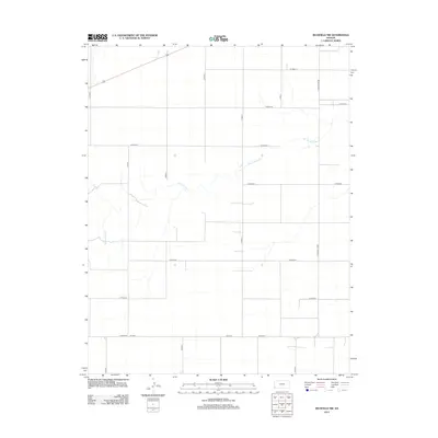 2012 Richfield NW2012 Print · USGSStanton County at the start of the 2010s remains a landscape defined by the disciplined grid of the High Plains. Researchers can trace the path of Sand Arroyo Cr as it cuts through the section lines of S Manter Grade and S Road X.
 - 2012 Map of Richfield NE, 2012 Print
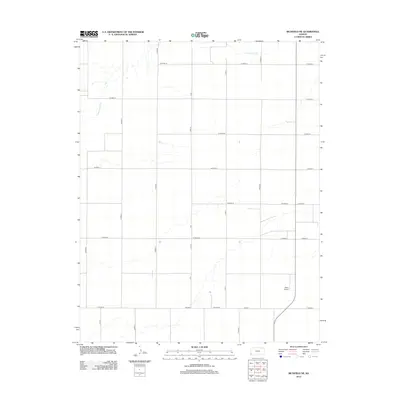 2012 Richfield NE2012 Print · USGSStanton County's high plains are shown in the early twenty-first century, revealing the strict section-line geometry of the Kansas landscape. Researchers can trace rural property access via W Road 18 and Co Rd 11 or locate the site of Johns Airport.
 - 2012 Map of Big Bow NW, 2012 Print
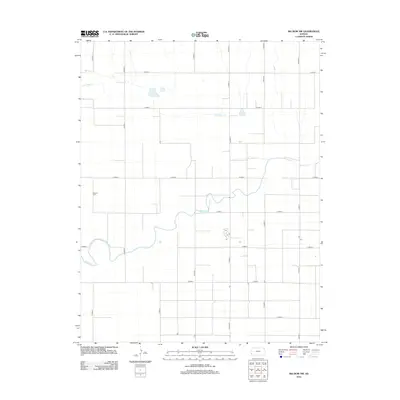 2012 Big Bow NW2012 Print · USGSStanton County, Kansas, is documented in the early twenty-first century as a landscape of structured high plains agriculture. Researchers can locate Mitchell Cem and trace the drainage patterns of Bear Ck and Little Bear Cr across the section grid.
 - 2012 Map of Big Bow NE, 2012 Print
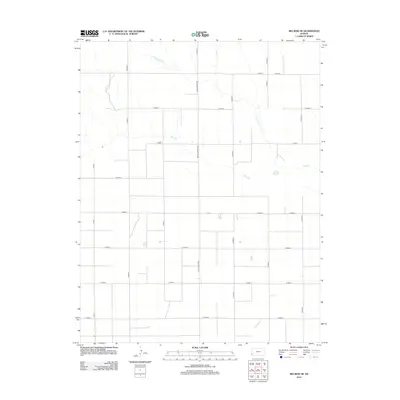 2012 Big Bow NE2012 Print · USGSSherman Township in western Kansas exhibits its structured agricultural character in the early 2010s. Modern researchers can trace the section-line road network and seasonal watercourses like Wolf Cr, Bear Ck, and the prominent N Big Bow Grade.
 - 2012 Map of Johnson NE, 2012 Print
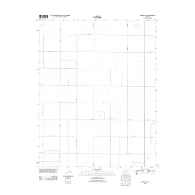 2012 Johnson NE2012 Print · USGSStanton County's expansive agricultural landscape is captured here in the early twenty-first century, showing a region defined by its precise road grid. Trace rural property access along Co Road M and follow the natural winding paths of Little Bear Cr and Bear Ck.
Showing maps 1-25 of 75
Top cities of Stanton County
Frequently asked questions
- What are the different types of historical maps available for Stanton County?
- What is the oldest map of Stanton County?
- Where can I purchase historical maps of Stanton County for my home or office?
- Where can I download high-res historical maps of Stanton County?
- Are there historical topographic maps available for Stanton County?
- Is there historical aerial imagery available for Stanton County?
- Where are historical maps of Stanton County sourced from?