2000s (21st Century) Maps of Beauregard Parish, Louisiana
Explore 163 historic maps of Beauregard Parish from the 2000s (21st Century). These maps offer a rare glimpse into what life looked like during the 2000s — showing old roads, neighborhoods, homes, and landmarks that have changed or disappeared over time.
Whether you're researching your family's past, planning a metal detecting trip, or studying how Beauregard Parish's landscape evolved across the 2000s, these high-resolution maps are a powerful tool for exploring the history of this region.
- Focus on a specific era: All maps on this page are from the 2000s, giving you a focused view of this time period.
- See what’s changed: Compare century-old streets, trails, and buildings to today's modern landscape using overlays and satellite layers.
- Research with precision: Use these maps for genealogy, historical research, land use analysis, or educational projects.
- View, download, or print: Maps are fully viewable online in high resolution, and can be downloaded or printed for your own records.
Start exploring Beauregard Parish's history through authentic maps from the 2000s. This is your window into the past.
Beauregard Parish, LA maps
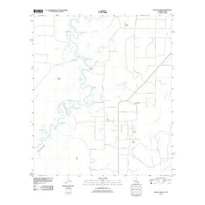
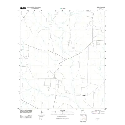
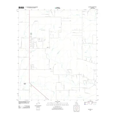
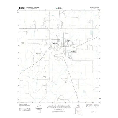
(163)- 2003 Map of Pitkin, 2005 Print
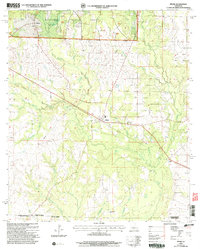 2003 Pitkin2005 Print · USGSThe northern edge of the Louisiana piney woods comes alive in this study of the Vernon Parish countryside. Researchers can trace the rural communities of Pitkin, Fullerton, and Dido alongside local landmarks like Crowder Cem and Mount Olive Ch.
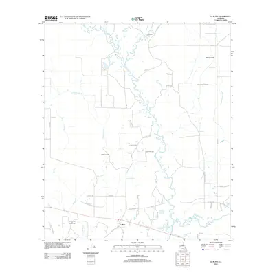
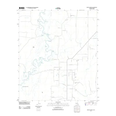
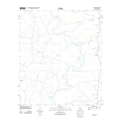
 - 2003 Map of Hurricane Branch, 2005 Print
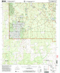 2003 Hurricane Branch2005 Print · USGSVernon Parish at the turn of the millennium shows a landscape defined by the vast pine reaches of the Kisatchie National Forest. Local history researchers can trace family landmarks like Johnson Cem, Providence Ch, and the small settlement of Johnsonville.
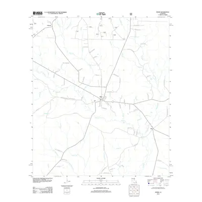
 - 2004 Map of Sugrue, 2005 Print
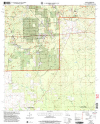 2004 Sugrue2005 Print · USGSThe Vernon Parish pinewoods and creek bottoms are documented here at the turn of the twenty-first century. Researchers can locate remote rural landmarks including Cravens, the Wisby Memorial Cem, and the Lone Star Ch near Horse Branch.
 - 2010 Map of Bancroft, 2010 Print
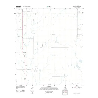
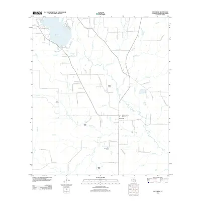
 2010 Bancroft2010 Print · USGSCovers Beauregard Parish, including Bancroft, Newton County, and other nearby areas
 - 2010 Map of Shoats Creek, 2010 Print
 2010 Shoats Creek2010 Print · USGSCovers Beauregard Parish, including Calcasieu Parish, Newton County, and other nearby areas
 - 2010 Map of Bon Wier, 2010 Print
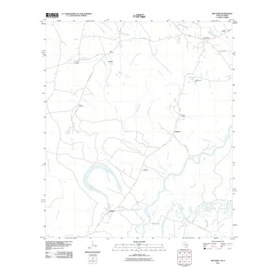 2010 Bon Wier2010 Print · USGSCovers Beauregard Parish, including Bon Wier, Sandjack, and other nearby areas
 - 2010 Map of Merryville South, 2010 Print
 2010 Merryville South2010 Print · USGSCovers Beauregard Parish, including Merryville, Bivens, and other nearby areas
 - 2010 Map of Merryville North, 2010 Print
 2010 Merryville North2010 Print · USGSCovers Beauregard Parish, including Merryville, Junction, and other nearby areas
 - 2010 Map of Evans, 2010 Print
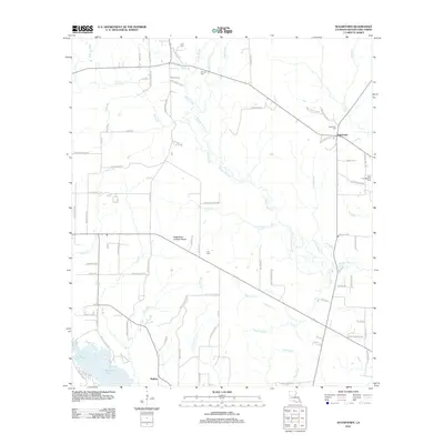
 2010 Evans2010 Print · USGSCovers Beauregard Parish, including Evans, Almadane, and other nearby areas
 - 2012 Map of Grant, 2012 Print
 2012 Grant2012 Print · USGSCovers Beauregard Parish, including Reids, Grant, and other nearby areas
 - 2012 Map of Le Blanc, 2012 Print
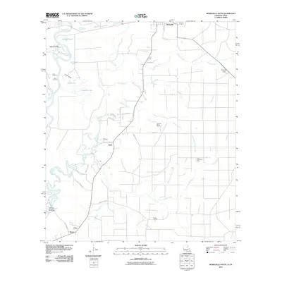
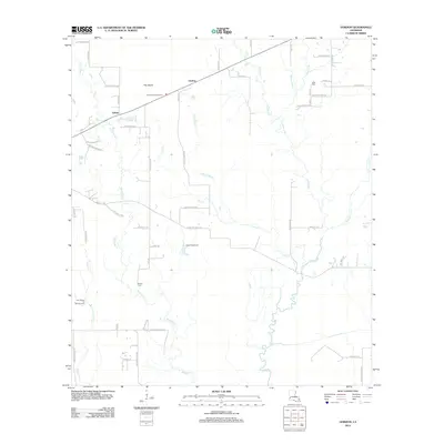
 2012 Le Blanc2012 Print · USGSCovers Beauregard Parish, including Harmony, Le Blanc, and other nearby areas
 - 2012 Map of Pitkin, 2012 Print
 2012 Pitkin2012 Print · USGSCovers Beauregard Parish, including Fullerton, Pitkin, and other nearby areas
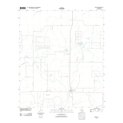
 - 2012 Map of Mittie, 2012 Print
 2012 Mittie2012 Print · USGSCovers Beauregard Parish, including Simmons Settlement, Mittie, and other nearby areas
 - 2012 Map of Gaytine, 2012 Print
 2012 Gaytine2012 Print · USGSCovers Beauregard Parish, including Turps, Gaytine, and other nearby areas
 - 2012 Map of Shoats Creek, 2012 Print
 2012 Shoats Creek2012 Print · USGSCovers Beauregard Parish, including Calcasieu Parish, Newton County, and other nearby areas
 - 2012 Map of Redhead Branch, 2012 Print
 2012 Redhead Branch2012 Print · USGSCovers Beauregard Parish, including United States, Louisiana, and other nearby areas
 - 2012 Map of Gordon, 2012 Print
 2012 Gordon2012 Print · USGSCovers Beauregard Parish, including Gordon, Gekop, and other nearby areas
 - 2012 Map of DeQuincy, 2012 Print
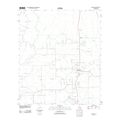
 2012 DeQuincy2012 Print · USGSCovers Beauregard Parish, including DeQuincy, Helme, and other nearby areas
 - 2012 Map of Evans, 2012 Print
 2012 Evans2012 Print · USGSCovers Beauregard Parish, including Evans, Almadane, and other nearby areas
 - 2012 Map of Dry Creek, 2012 Print
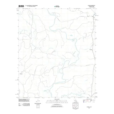
 2012 Dry Creek2012 Print · USGSCovers Beauregard Parish, including Dry Creek, United States, and other nearby areas
 - 2012 Map of Rosepine, 2012 Print
 2012 Rosepine2012 Print · USGSCovers Beauregard Parish, including Rosepine, Neame, and other nearby areas
 - 2012 Map of Fields, 2012 Print
 2012 Fields2012 Print · USGSCovers Beauregard Parish, including Mystic, Fields, and other nearby areas
 - 2012 Map of Reeves, 2012 Print
 2012 Reeves2012 Print · USGSCovers Beauregard Parish, including Reeves, Bel, and other nearby areas
 - 2012 Map of Sugartown, 2012 Print
 2012 Sugartown2012 Print · USGSCovers Beauregard Parish, including Sugartown, Kipling, and other nearby areas
 - 2012 Map of Clark Hollow, 2012 Print
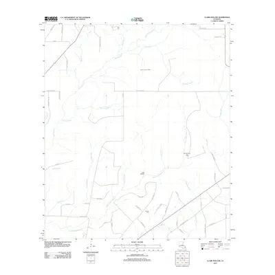 2012 Clark Hollow2012 Print · USGSCovers Beauregard Parish, including Calcasieu Parish, United States, and other nearby areas
Showing maps 1-25 of 163
Top cities of Beauregard Parish
Frequently asked questions
- What are the different types of historical maps available for Beauregard Parish?
- What is the oldest map of Beauregard Parish?
- Where can I purchase historical maps of Beauregard Parish for my home or office?
- Where can I download high-res historical maps of Beauregard Parish?
- Are there historical topographic maps available for Beauregard Parish?
- Is there historical aerial imagery available for Beauregard Parish?
- Where are historical maps of Beauregard Parish sourced from?