2010s Maps of Beauregard Parish, Louisiana
Explore 99 historic maps of Beauregard Parish from the 2010s. These maps offer a rare glimpse into what life looked like during the 2010s — showing old roads, neighborhoods, homes, and landmarks that have changed or disappeared over time.
Whether you're researching your family's past, planning a metal detecting trip, or studying how Beauregard Parish's landscape evolved across the 2010s, these high-resolution maps are a powerful tool for exploring the history of this region.
- Focus on a specific era: All maps on this page are from the 2010s, giving you a focused view of this time period.
- See what’s changed: Compare century-old streets, trails, and buildings to today's modern landscape using overlays and satellite layers.
- Research with precision: Use these maps for genealogy, historical research, land use analysis, or educational projects.
- View, download, or print: Maps are fully viewable online in high resolution, and can be downloaded or printed for your own records.
Start exploring Beauregard Parish's history through authentic maps from the 2010s. This is your window into the past.
Beauregard Parish, LA maps
(99)- 2010 Map of Bancroft, 2010 Print
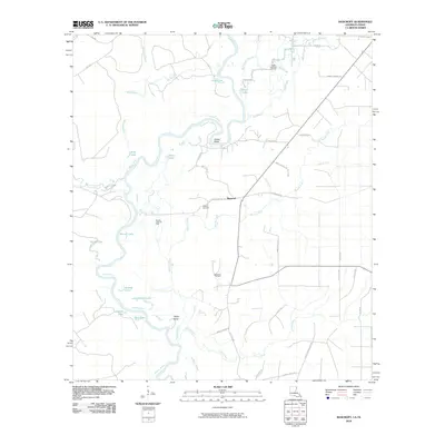 2010 Bancroft2010 Print · USGSThe Sabine River bottomlands in Beauregard Parish are captured here at a time when the local economy was driven by timber and oil extraction. Genealogists can trace family footprints through names like Spikes Cemetery, Fred Spikes Rd, and the small settlement of Bancroft.
 - 2010 Map of Shoats Creek, 2010 Print
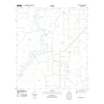 2010 Shoats Creek2010 Print · USGSThe Sabine River floodplain in Calcasieu Parish comes to life in this recent survey, showcasing a landscape of oxbow lakes and rural settlements. Researchers can locate family landmarks like Clark Cemetery, Nicks Landing, and the North Starks Oil Field.
 - 2010 Map of Bon Wier, 2010 Print
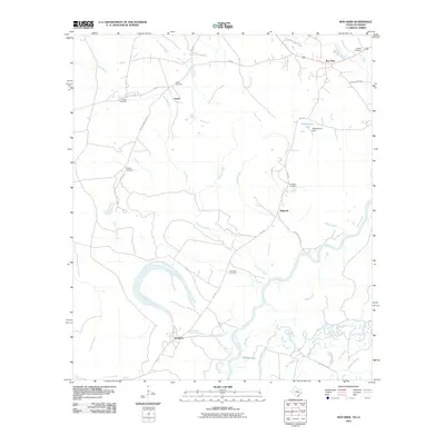 2010 Bon Wier2010 Print · USGSThe Texas-Louisiana border along the Sabine River is captured here in the early twenty-first century, showcasing a landscape of river bends and bayous. Researchers can trace rural cemeteries and small communities like Belgrade, Sandjack, and the riverside town of Bon Wier.
 - 2010 Map of Merryville South, 2010 Print
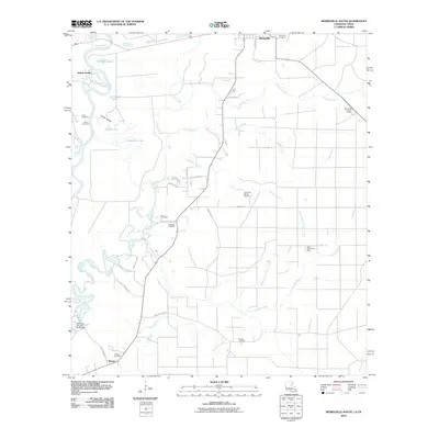 2010 Merryville South2010 Print · USGSThe Louisiana-Texas borderlands south of Merryville are revealed here during the first decade of the new millennium. Researchers can trace several family-named burial sites like Burks Cemetery and Franks Cemetery alongside active petroleum sites including the North Bivens Oil Field.
 - 2010 Map of Merryville North, 2010 Print
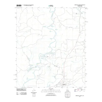 2010 Merryville North2010 Print · USGSMerryville and the winding Sabine River valley are captured here at the start of the 2010s. Researchers can locate local landmarks like the Hennigan Cemetery, the Merryville Post Office, and the Bayou Anacoco Gas Field.
 - 2010 Map of Evans, 2010 Print
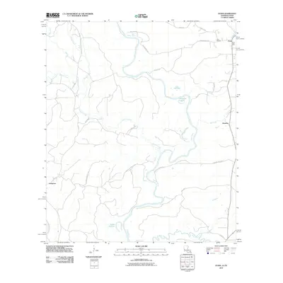 2010 Evans2010 Print · USGSThe Louisiana-Texas borderlands come to life along the winding Sabine River in the early twenty-first century. Genealogists and local historians can trace the rural communities of Evans, Almadane, and Stringtown, or locate the Evans Cemetery.
 - 2012 Map of Grant, 2012 Print
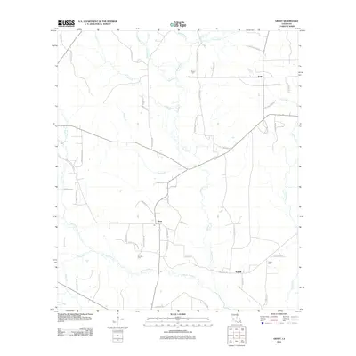 2012 Grant2012 Print · USGSAllen Parish is shown in the early twenty-first century as a rural landscape of winding creeks and dispersed settlements. Local history researchers can trace old family sites and burial grounds like Hamilton Cem, Horton Cem, and the community of Grant.
 - 2012 Map of Le Blanc, 2012 Print
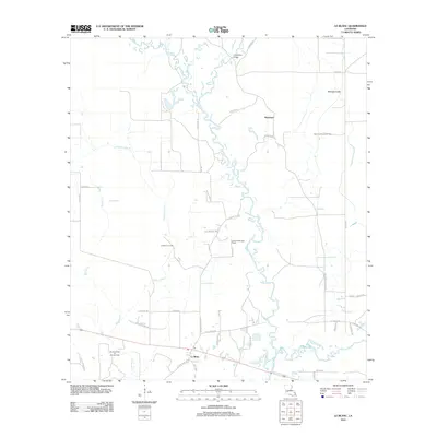 2012 Le Blanc2012 Print · USGSAllen Parish at the start of the 2010s reveals a landscape where river life meets the energy industry. Researchers can trace the water networks of Whisky Chitto Cr and locate specific sites like the United Methodist Camp and Le Blanc Oil Field.
 - 2012 Map of Pitkin, 2012 Print
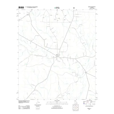 2012 Pitkin2012 Print · USGSThe piney woods of Vernon Parish are shown here in the early twenty-first century, centered on the community of Pitkin. Genealogists and local historians can trace family-named routes and find landmarks like Mathis Cem, the Pitkin Lookout Tower, and Dido.
 - 2012 Map of Mittie, 2012 Print
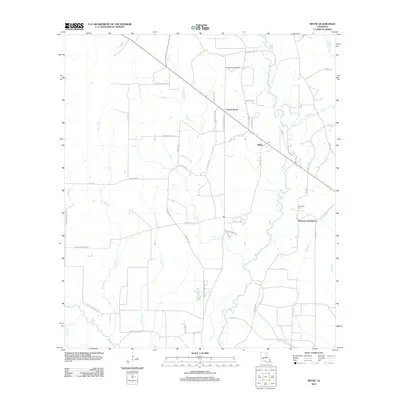 2012 Mittie2012 Print · USGSAllen Parish is shown here in the early 2010s as a landscape of timber and creek-side communities. Researchers can trace local lineage and land use through Simmons Settlement, Simmons Cem, and the North Mittie Gas Field.
 - 2012 Map of Gaytine, 2012 Print
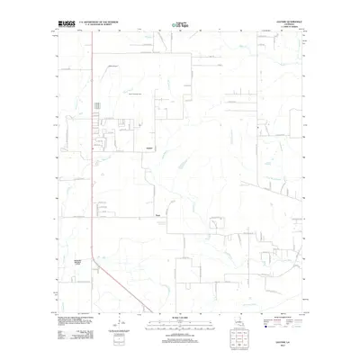 2012 Gaytine2012 Print · USGSThe rural landscape of Beauregard Parish is captured here in the early twenty-first century, showcasing a transition between oil production and hydraulic management. Researchers can trace the South Fulton Oil Field and localized settlements like Gaytine and Turps amidst the winding Indian Bayou.
 - 2012 Map of Shoats Creek, 2012 Print
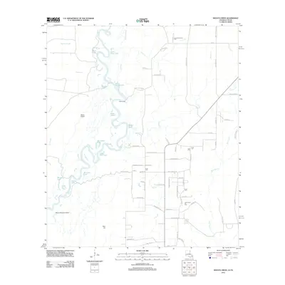 2012 Shoats Creek2012 Print · USGSCalcasieu Parish and the Texas borderlands are captured here in the early twenty-first century, showing a landscape defined by the winding Sabine River. Local historians can trace family roots through the North Starks Oil Field and small burying grounds like Carter Cem and Smith Cem.
 - 2012 Map of Redhead Branch, 2012 Print
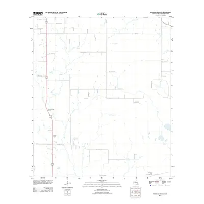 2012 Redhead Branch2012 Print · USGSBeauregard Parish is shown in the early twenty-first century as a landscape defined by timber, oil extraction, and deep-rooted family names. Researchers can trace land tracts near Barentine Cem or locate the Longville Lookout Tower amidst the East Tulla Gas Field.
 - 2012 Map of Gordon, 2012 Print
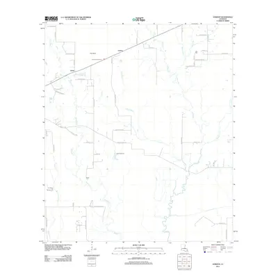 2012 Gordon2012 Print · USGSLouisiana's piney woods country near Gordon is captured here in the early twenty-first century. Researchers can trace local watercourses like Beckwith Cr and see how the modern road network follows the historic settlement patterns of the parish.
 - 2012 Map of DeQuincy, 2012 Print
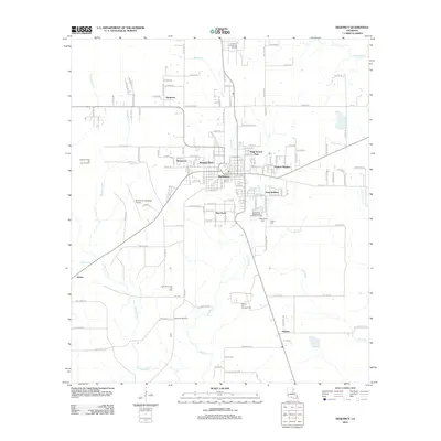 2012 DeQuincy2012 Print · USGSCalcasieu Parish's industrial and residential character is on full display in this early 2000s survey of the DeQuincy area. Researchers can trace the layout of growing neighborhoods like Eastern Heights and Westwood or locate family sites at Rigmaiden Cem and Perkins Cem.
 - 2012 Map of Evans, 2012 Print
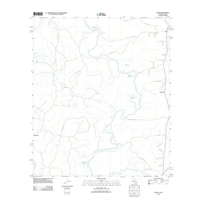 2012 Evans2012 Print · USGSThe Louisiana-Texas borderlands along the Sabine River are documented here in detail during the early 2010s. Local researchers can trace the oxbows of Evans Old River and find family landmarks like Evans Cem and the settlement of Almadane.
 - 2012 Map of Dry Creek, 2012 Print
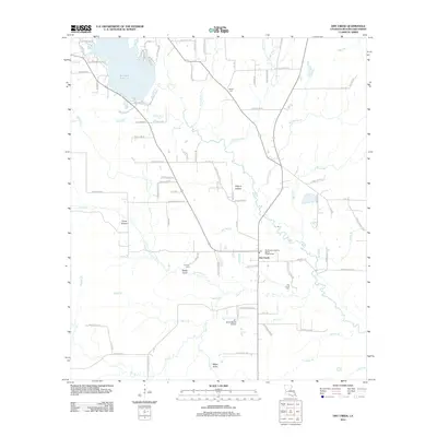 2012 Dry Creek2012 Print · USGSBeauregard Parish's water-cut landscape is captured here in the early twenty-first century, centered on the Dry Creek community. Researchers can trace local heritage at Dry Creek Cemetery, Shiloh Cemetery, and the Southwest Louisiana Baptist Encampment.
 - 2012 Map of Rosepine, 2012 Print
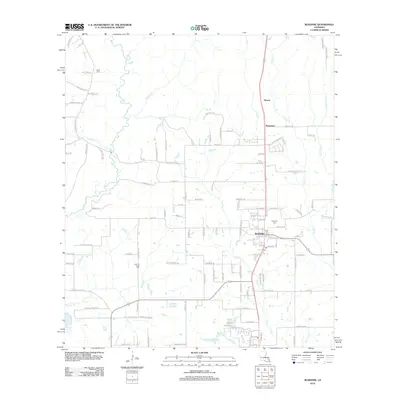 2012 Rosepine2012 Print · USGSVernon Parish at the start of the 2010s shows a landscape defined by small timber-country settlements and winding creek bottoms. Genealogists can trace family connections at Rosepine Cem, Cypress Creek Cem, and Miller Cem near Bayou Anacoco.
 - 2012 Map of Fields, 2012 Print
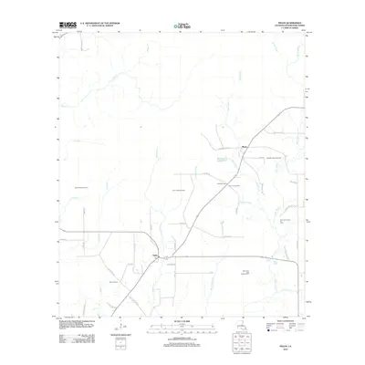 2012 Fields2012 Print · USGSLouisiana's southwestern timber and oil lands are captured here during the early twenty-first century. Genealogists and historians can trace local family footprints along Hyatt Cemetery Rd and Gus Smith Rd or locate industrial sites like the South Bear Head Creek Oil Field.
 - 2012 Map of Reeves, 2012 Print
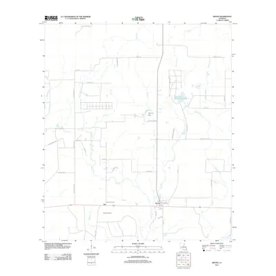 2012 Reeves2012 Print · USGSReeves and Bel are captured in the early twenty-first century, showing a Louisiana landscape defined by timber, oil, and water. Genealogists can trace family-named routes like Bernard Fontenot Rd or locate the Mud Creek Oil Field and Bel Lookout Tower.
 - 2012 Map of Sugartown, 2012 Print
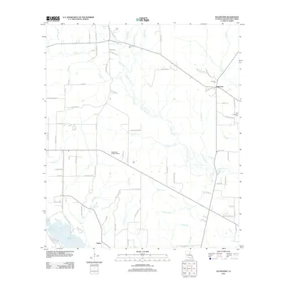 2012 Sugartown2012 Print · USGSThe area around Sugartown and Kipling in the early 2010s is defined by a dense network of parish roads and the waters of Whisky Chitto Creek. Genealogists can locate several family-linked landmarks and burial grounds, including Cole Cem, Smyrna Cem, and the Sugartown Lookout Tower.
 - 2012 Map of Clark Hollow, 2012 Print
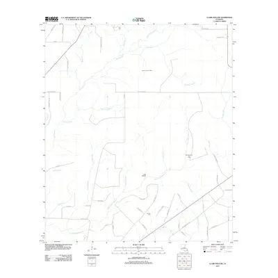 2012 Clark Hollow2012 Print · USGSCalcasieu Parish in the early 2010s shows a landscape of coastal wetlands and active energy production. Researchers can trace family sites like Hyatt Cem and Stanley Cem alongside industrial markers like the Shoats Creek Oil Field.
 - 2012 Map of DeRidder, 2012 Print
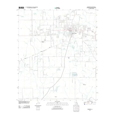 2012 DeRidder2012 Print · USGSBeauregard Parish settlement and industry are on display in this modern survey of the DeRidder area. Researchers can locate family landmarks at Woodlawn Cemetery or trace the rural routes through Grabow, Shear, and the aviation hub at Swamp Smith Airport.
 - 2012 Map of Hurricane Branch, 2012 Print
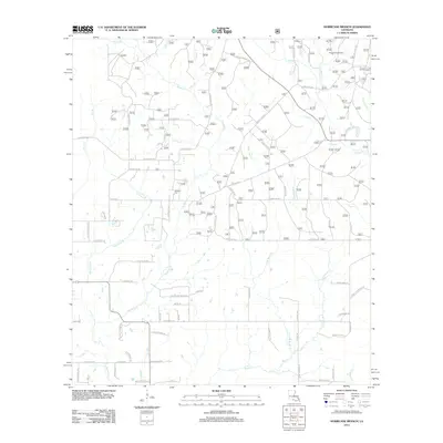 2012 Hurricane Branch2012 Print · USGSVernon Parish at the start of the decade reveals a landscape of winding creek bottoms and rural loop roads. Genealogists and local historians can locate Johnson Cem and trace family-named routes like Ida Bailey Rd near the Longleaf Scenic Area.
 - 2012 Map of Singer, 2012 Print
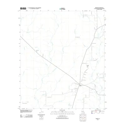 2012 Singer2012 Print · USGSBeauregard Parish settlement is shown here in the early twenty-first century, centered on the community of Singer. Researchers can trace local lineage through numerous family-named landmarks like Newlin Cem and Charlie Cooley Rd, or explore the industrial footprint of the North Singer Oil Field.
Showing maps 1-25 of 99
Top cities of Beauregard Parish
Frequently asked questions
- What are the different types of historical maps available for Beauregard Parish?
- What is the oldest map of Beauregard Parish?
- Where can I purchase historical maps of Beauregard Parish for my home or office?
- Where can I download high-res historical maps of Beauregard Parish?
- Are there historical topographic maps available for Beauregard Parish?
- Is there historical aerial imagery available for Beauregard Parish?
- Where are historical maps of Beauregard Parish sourced from?