2020s Maps of Calcasieu Parish, Louisiana
Explore 54 historic maps of Calcasieu Parish from the 2020s. These maps offer a rare glimpse into what life looked like during the 2020s — showing old roads, neighborhoods, homes, and landmarks that have changed or disappeared over time.
Whether you're researching your family's past, planning a metal detecting trip, or studying how Calcasieu Parish's landscape evolved across the 2020s, these high-resolution maps are a powerful tool for exploring the history of this region.
- Focus on a specific era: All maps on this page are from the 2020s, giving you a focused view of this time period.
- See what’s changed: Compare century-old streets, trails, and buildings to today's modern landscape using overlays and satellite layers.
- Research with precision: Use these maps for genealogy, historical research, land use analysis, or educational projects.
- View, download, or print: Maps are fully viewable online in high resolution, and can be downloaded or printed for your own records.
Start exploring Calcasieu Parish's history through authentic maps from the 2020s. This is your window into the past.
Calcasieu Parish, LA maps
(54)- 2020 Map of Vinton, 2020 Print
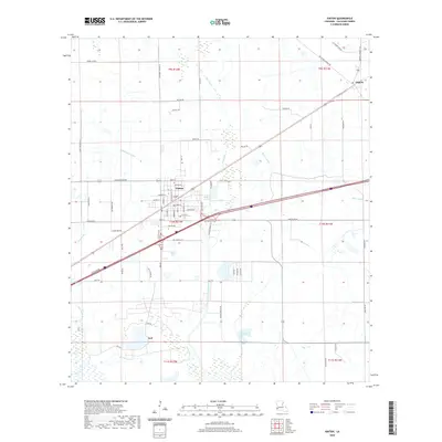 2020 Vinton2020 Print · USGSCoastal prairie and managed marshlands define Calcasieu Parish in the late 2010s. Genealogists and local researchers can trace the town of Vinton, the community of Edgerly, and family-named routes like Adles Simon Rd and Royer Rd.
 - 2020 Map of Hayes, 2020 Print
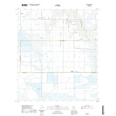 2020 Hayes2020 Print · USGSThe borderlands of Calcasieu and Jefferson Davis Parishes are shown in the modern era as a complex network of marshes and drainage systems. Researchers can trace the layout of Hayes and Bell City alongside landmarks like the Hayes Cem and the remote Wild Island.
 - 2020 Map of Buhler, 2020 Print
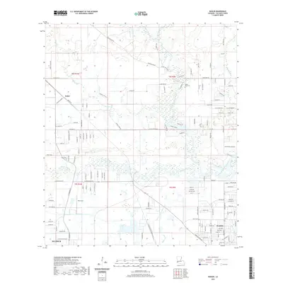 2020 Buhler2020 Print · USGSCalcasieu Parish comes into focus in this recent survey, showcasing the dense river networks north of Sulphur. Researchers can trace family history through sites like Royer Cemetery, the small community of Buhler, and the West Fork Calcasieu River corridor.
 - 2020 Map of Moss Lake, 2020 Print
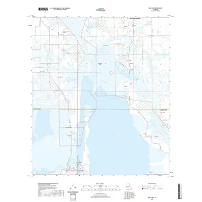 2020 Moss Lake2020 Print · USGSCoastal Calcasieu and Cameron Parishes are documented here in the early twenty-first century as the shipping industry and wetland geography intersect. Researchers can locate family landmarks like Dutch Cove Cem and Pujol Cem or trace the routes of the Calcasieu Ship Channel and Intracoastal Waterway.
 - 2020 Map of Gaytine, 2020 Print
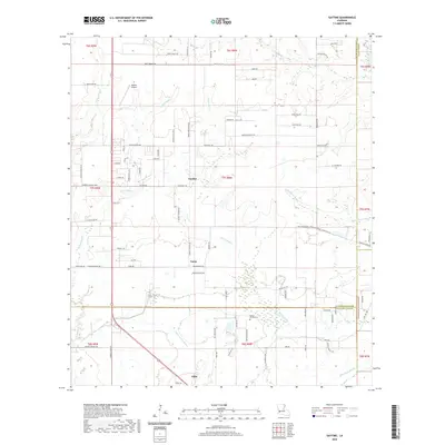 2020 Gaytine2020 Print · USGSLouisiana's southwestern prairie meets a dense network of bayous in this recent parish study. Genealogists and local historians can trace family-named roads and landmarks like Reeves Garden Cem, Habetz Airport, and the small communities of Gaytine and Turps.
 - 2020 Map of Starks, 2020 Print
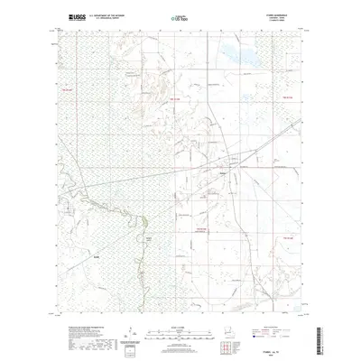 2020 Starks2020 Print · USGSThe Sabine River borderland in the early twenty-first century is a landscape of winding bayous and timbered wetlands. Researchers can trace family history through several sites like Fountain Cem and Saint Mary Cem or locate the settlement of Ruliff.
 - 2020 Map of Black Lake, 2020 Print
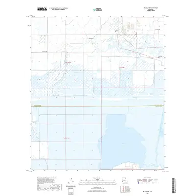 2020 Black Lake2020 Print · USGSCoastal Louisiana marshlands and the Calcasieu-Cameron parish line are captured here in the contemporary era. Researchers can trace family sites at Moss Cem and Landry Cem or follow the engineering of the Intracoastal Waterway.
 - 2020 Map of Fenton, 2020 Print
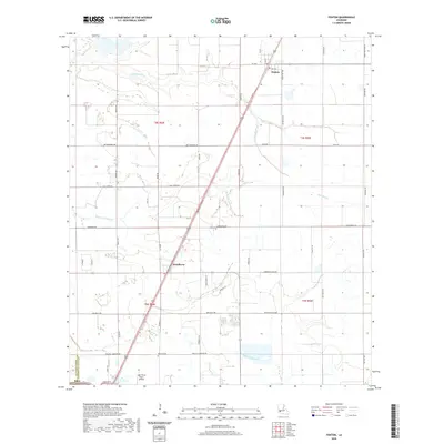 2020 Fenton2020 Print · USGSCalcasieu and Jefferson Davis parishes are documented here in 2020, showing a landscape defined by prairie settlements and bayou systems. Researchers can trace family roots at Pine Hill Cem or locate regional landmarks like the Light Plane Flyers Airfield and Bayou Arceneaux.
 - 2020 Map of Shoats Creek, 2020 Print
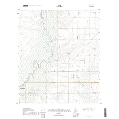 2020 Shoats Creek2020 Print · USGSThe Sabine River bottomlands and the rural borders of Calcasieu Parish come into focus in this recent survey. Local historians and genealogists can trace family-named roads and landmarks like Babe, Smith Cem, and the winding Devils Pocket.
 - 2020 Map of Brimstone, 2020 Print
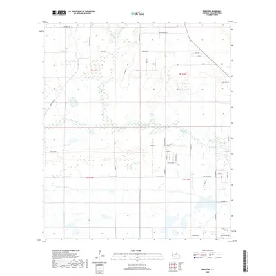 2020 Brimstone2020 Print · USGSCalcasieu Parish at the start of the 2020s shows a landscape of steady expansion near the Houston River. Researchers can trace local family lineages and property boundaries along Arthur Marcantel Rd, Latioulais Ln, and the residential areas of Brimstone.
 - 2020 Map of Sulphur, 2020 Print
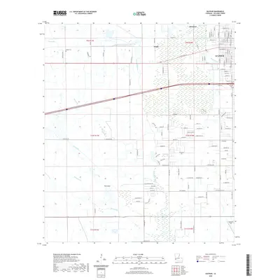 2020 Sulphur2020 Print · USGSCalcasieu Parish comes to life in this modern study of the area's complex water network and growing communities. Genealogists and local historians can trace family roots at Edgerly Cem or explore the geography of Brimstone and Southland Field.
 - 2020 Map of Lake Charles SW, 2020 Print
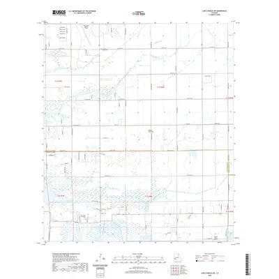 2020 Lake Charles SW2020 Print · USGSThe coastal prairies of Calcasieu Parish are shown here as they appeared in 2020, where aviation hubs meet marshy bayous. Researchers can trace family sites like Friendship Baptist Cem or follow the Intracoastal Waterway past Plateau Petit Bois.
 - 2020 Map of Hecker, 2020 Print
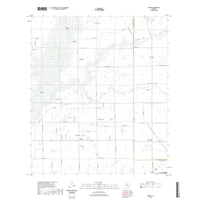 2020 Hecker2020 Print · USGSThe rural expanses of Calcasieu Parish are captured here in the contemporary era as traditional settlements meet modern residential growth. Genealogists and local researchers can locate family landmarks such as Herbert Cem, Hecker, and the drainage patterns of Bayou Serpent.
 - 2020 Map of Cameron Farms, 2020 Print
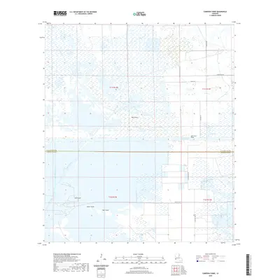 2020 Cameron Farms2020 Print · USGSThe coastal marshlands south of Lake Charles come into focus in the early twenty-first century, showing a landscape defined by industrial waterways and family-named ridges. Researchers can trace the drainage networks of the Bancroft Canal and find local landmarks like Gum Cove Ridge and Cameron Farms.
 - 2020 Map of DeQuincy, 2020 Print
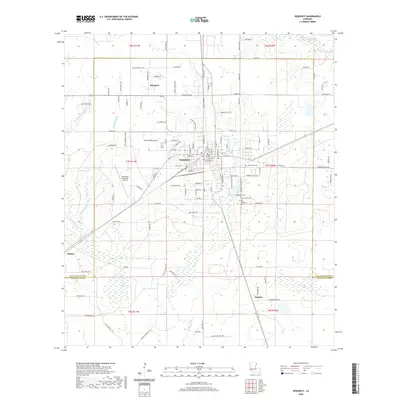 2020 DeQuincy2020 Print · USGSCalcasieu Parish comes into focus at the turn of the 2020s, centered on the historic rail and timber hub of DeQuincy. Researchers can trace local lineage through numerous rural burial sites like Rigmaiden Cem and Perkins Cem or locate old homesteads near Hargrove.
 - 2020 Map of Clark Hollow, 2020 Print
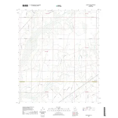 2020 Clark Hollow2020 Print · USGSThe marshy border between Beauregard and Calcasieu Parishes is mapped here in the late twenty-teens, showing a terrain of named gullies and rural family roads. Genealogists and local historians can locate Hyatt Cem and Stanley Cem or trace the drainage of Clark Hollow and Mule Pond.
 - 2020 Map of Moss Bluff, 2020 Print
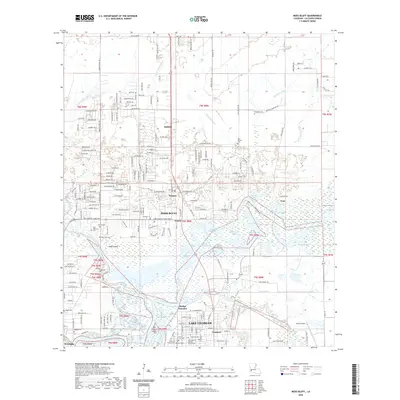 2020 Moss Bluff2020 Print · USGSCalcasieu Parish comes to life in the years following the millennium, showing the steady expansion of Moss Bluff above the Calcasieu River. Genealogists and historians can trace numerous local landmarks including Old Emanuel Baptist Church, Chloe Airport, and several historic burial grounds like Ritchie Cem.
 - 2020 Map of Westlake, 2020 Print
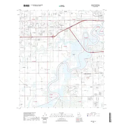 2020 Westlake2020 Print · USGSCalcasieu Parish comes to life in this detailed view of the industrial and residential corridors between Sulphur and Lake Charles. Genealogists can trace family roots through numerous sites including Henning Cem, Benoit Cem, and the Sulphur Post Office.
 - 2020 Map of Lacassine, 2020 Print
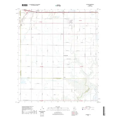 2020 Lacassine2020 Print · USGSCoastal prairie and bayou landscapes transition across the Calcasieu-Jefferson Davis Parish line in this modern study. Genealogists can trace family heritage at Lacassine Catholic Cem and Lorrain Cem or locate the rural settlement of Verret.
 - 2020 Map of Lake Charles SE, 2020 Print
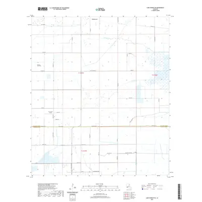 2020 Lake Charles SE2020 Print · USGSCoastal prairie and managed wetlands define the boundary between Calcasieu and Cameron parishes in this modern survey. Genealogists and local historians can trace family-named routes like Fruge Rd and Nunez Rd near the settlement of Holmwood.
 - 2020 Map of Lake Charles, 2020 Print
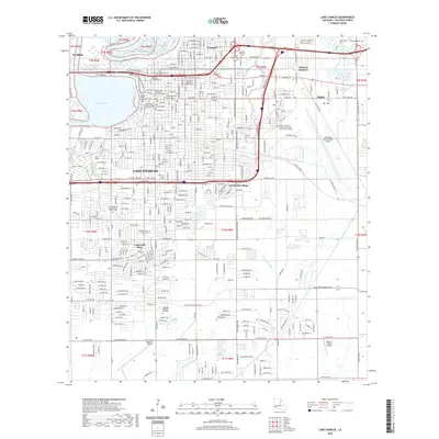 2020 Lake Charles2020 Print · USGSLake Charles at the start of the 2020s shows a modern coastal city still shaped by its historic riverfront and rail lines. Researchers can locate numerous family burial sites and schools, from the City Cem and Sallier Cem to the grounds of McNeese State University.
 - 2020 Map of Iowa, 2020 Print
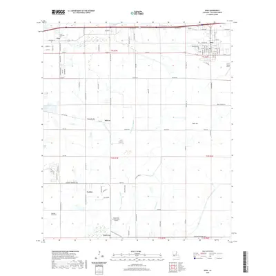 2020 Iowa2020 Print · USGSCalcasieu Parish in the early twenty-first century reveals a landscape of prairie settlements and vital agricultural waterways. Trace the development of Iowa and rural outposts like Chalkley and Holmwood, or locate family landmarks along Packing House Rd.
 - 2020 Map of Topsy, 2020 Print
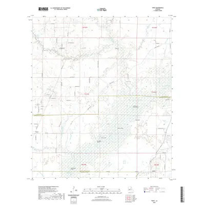 2020 Topsy2020 Print · USGSJefferson Davis Parish and the surrounding lowlands are captured here in a period of modern mapping that reveals the area's intricate waterway history. You can trace family roots at Indian Village Cem or locate the old paths of Martin Tram Rd near the Calcasieu River.
 - 2020 Map of Lunita, 2020 Print
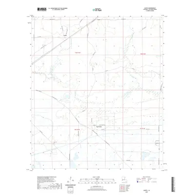 2020 Lunita2020 Print · USGSCalcasieu Parish in the 2020s remains a landscape defined by its winding waterways and deep-rooted rural communities. Family history researchers can trace local connections through Big Woods Cem, Benevolent Cem, and the old settlement at Lunita.
 - 2020 Map of Gordon, 2020 Print
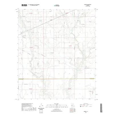 2020 Gordon2020 Print · USGSThe border of Beauregard and Calcasieu Parishes is documented here at the start of the 2020s, showing a landscape defined by timberlands and rural homesteads. Genealogists and local historians can trace family-named routes and locate the Alston Cem and Hagar Cem.
Showing maps 1-25 of 54
Top cities of Calcasieu Parish
- Lake Charles historical maps
- Sulphur historical maps
- Westlake historical maps
- Vinton historical maps
- DeQuincy historical maps
- Iowa historical maps
See more
Frequently asked questions
- What are the different types of historical maps available for Calcasieu Parish?
- What is the oldest map of Calcasieu Parish?
- Where can I purchase historical maps of Calcasieu Parish for my home or office?
- Where can I download high-res historical maps of Calcasieu Parish?
- Are there historical topographic maps available for Calcasieu Parish?
- Is there historical aerial imagery available for Calcasieu Parish?
- Where are historical maps of Calcasieu Parish sourced from?