2000s (21st Century) Maps of Rapides Parish, Louisiana
Explore 192 historic maps of Rapides Parish from the 2000s (21st Century). These maps offer a rare glimpse into what life looked like during the 2000s — showing old roads, neighborhoods, homes, and landmarks that have changed or disappeared over time.
Whether you're researching your family's past, planning a metal detecting trip, or studying how Rapides Parish's landscape evolved across the 2000s, these high-resolution maps are a powerful tool for exploring the history of this region.
- Focus on a specific era: All maps on this page are from the 2000s, giving you a focused view of this time period.
- See what’s changed: Compare century-old streets, trails, and buildings to today's modern landscape using overlays and satellite layers.
- Research with precision: Use these maps for genealogy, historical research, land use analysis, or educational projects.
- View, download, or print: Maps are fully viewable online in high resolution, and can be downloaded or printed for your own records.
Start exploring Rapides Parish's history through authentic maps from the 2000s. This is your window into the past.
Rapides Parish, LA maps
(192)- 2003 Map of Afeman, 2005 Print
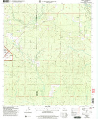 2003 Afeman2005 Print · USGSRapides and Vernon Parishes come together in the early 2000s in this detailed look at the forest lands near the Calcasieu River. Researchers can trace local lineages through several landmarks, including Lone Star Cemeteries, Doyle Cem, and the rural community of Afeman.
 - 2003 Map of Glenmora, 2005 Print
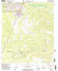 2003 Glenmora2005 Print · USGSThe crossroads of Rapides and Evangeline parishes come into focus at the turn of the twenty-first century. Genealogists can locate family landmarks like Rose Lawn Cem and Science Hill Cem, or trace rural aviation at Angrus Landing Field.
 - 2003 Map of Melder, 2005 Print
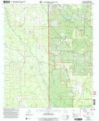 2003 Melder2005 Print · USGSRapides Parish in the early 2000s remains a region of deep forest and rural outposts centered on the Calcasieu River. Genealogists and local researchers can trace long-standing landmarks like St Mark Cem, Oak Grove Ch, and the settlement at Melder.
 - 2003 Map of Pawnee, 2005 Print
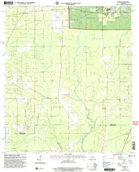 2003 Pawnee2005 Print · USGSRapides and Allen Parishes are shown at the turn of the millennium as centers of forestry and quiet rural life. Researchers can trace family roots at the Osburn Willis Cem or locate community hubs like Union Hill, Davis Crossing Ch, and the remote Pawnee settlement.
 - 2003 Map of Green Gables, 2005 Print
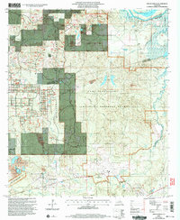 2003 Green Gables2005 Print · USGSRapides and Grant Parish are captured here at the start of the 21st century, showing the intersection of military training grounds and national forest. Researchers can trace family history through sites like Pleasant Grove Cem and the settlement at Hickman.2 unique versions available
 - 2003 Map of Forest Hill, 2005 Print
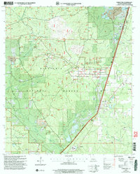 2003 Forest Hill2005 Print · USGSThe pine forests of Rapides Parish come alive in this map, showing the intersection of Kisatchie National Forest and the timber-focused settlement of Longleaf. Researchers can trace rural life through landmarks like Amiable Ch, Liberty Hill Cem, and the Drag Strip.
 - 2003 Map of Sieper, 2005 Print
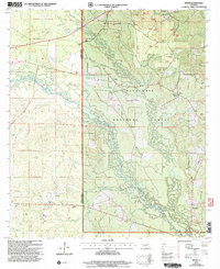 2003 Sieper2005 Print · USGSCentral Louisiana timberlands and the Calcasieu River valley appear in detail at the turn of the millennium. Researchers can locate family roots at Hardshell Cem, visit rural communities like Sieper, or trace old crossings at Price Crossing.
 - 2003 Map of Gorum, 2005 Print
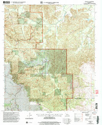 2003 Gorum2005 Print · USGSCentral Louisiana’s pine-covered uplands and bayous come into focus here at the start of the millennium. Researchers can trace rural landmarks and family burial sites like Gorum Cem, Bolton Cem, and the high vantage point of the Observation Tower.
 - 2003 Map of Gardner, 2005 Print
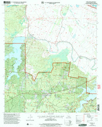 2003 Gardner2005 Print · USGSRapides Parish at the start of the new millennium shows a landscape defined by the Kisatchie National Forest and expansive reservoirs. Researchers can trace family roots through historic sites like Campground Cem, Hot Wells, and Laurel Hill Ch.
 - 2003 Map of Jericho, 2005 Print
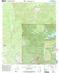 2003 Jericho2005 Print · USGSRapides and Vernon Parishes are shown in the early 2000s as a landscape of managed timberlands and forest settlements. Researchers can locate the Noel Cem and Pisgah Ch near the quiet communities of Jericho and Clifton.
 - 2003 Map of Ball, 2005 Print
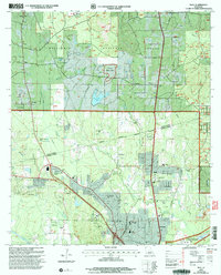 2003 Ball2005 Print · USGSLouisiana's pine-forested parish line comes to life in this early 2000s survey of the growing corridor north of Alexandria. Researchers can trace the footprints of Camp Beauregard, locate Sardis Ch, or find historical cemetery sites like Venus Cem.
 - 2003 Map of Woodworth East, 2005 Print
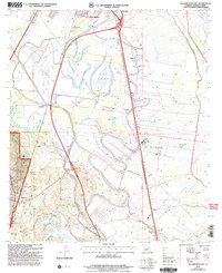 2003 Woodworth East2005 Print · USGSThe alluvial plains south of Alexandria were defined by bayou-side farming and managed timberlands in the early 2000s. Researchers can locate local landmarks like Wise Cem, Oakland Ch, and the sprawling Alexander State Forest.
 - 2003 Map of Temple, 2005 Print
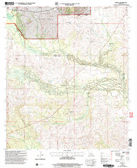 2003 Temple2005 Print · USGSVernon and Rapides Parishes are shown at the turn of the millennium as a landscape defined by timberlands and quiet communities. Genealogists can locate family landmarks like Schom Brook Cem, Burnstown, and Pine Grove Ch among the winding bayous.
 - 2003 Map of Rock Hill, 2005 Print
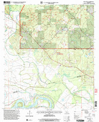 2003 Rock Hill2005 Print · USGSThe Grant and Rapides Parish line comes alive in the early 2000s, where the Kisatchie National Forest meets the winding Red River. Local historians can trace established rural life through Union Cemetery and Bagdad.
 - 2003 Map of Rapides, 2005 Print
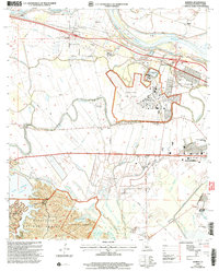 2003 Rapides2005 Print · USGSThe Red River valley and the eastern edge of the Kisatchie National Forest meet in this early 2000s survey of central Louisiana. Researchers can locate community anchors like First Evening Star Ch, trace the expansion of England Air Park, and explore the recreational shoreline of Kincaid Reservoir.
 - 2003 Map of Elmer, 2005 Print
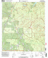 2003 Elmer2005 Print · USGSRapides Parish was a center of federal forestry research and military training during the early twenty-first century. Researchers can trace rural lineages through sites like Rougeau Cem and Oak Hill High Sch, or locate the Hineston Lookout.
 - 2003 Map of Woodworth West, 2005 Print
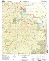 2003 Woodworth West2005 Print · USGSRapides Parish at the start of the millennium is a mosaic of federal forests, military ranges, and managed bayous. Researchers can locate family landmarks like Smiley Cem and Wall Cem or trace the early paths of the Wild Azalea Trail.
 - 2012 Map of Glenmora, 2012 Print
 2012 Glenmora2012 Print · USGSLouisiana's timber and oil country comes into focus in this early twenty-first-century survey of Glenmora. Trace family roots at Rose Lawn Cem and Johnson Cem, or explore local landmarks like Andrus Landing Field and the Glenmora Oil and Gas Field.
 - 2012 Map of Steep Gully, 2012 Print
 2012 Steep Gully2012 Print · USGSIn the rural reaches of Allen Parish during the early 21st century, the landscape is defined by the winding waters of Tenmile Cr and the settlement of Westport. Researchers can trace local lineage through the Tenmile Cem and West Cem, or locate the Plainview Lookout Tower near Cow Bayou.
 - 2012 Map of Pawnee, 2012 Print
 2012 Pawnee2012 Print · USGSAllen Parish timberlands and small rural communities are captured here in the early twenty-first century. Genealogists and local historians can trace family roots and old property lines via Bethel Cem, Osburn Willis Cem, and the community of Pawnee.
 - 2012 Map of Cocodrie Lake, 2012 Print
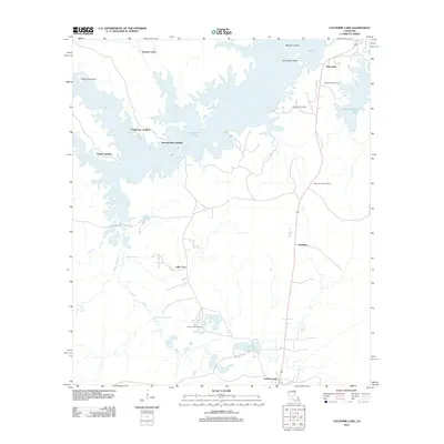 2012 Cocodrie Lake2012 Print · USGSEvangeline Parish at the start of the 2010s shows a landscape defined by the intricate waterways of Cocodrie Lake. Genealogists and local historians can trace family locations near Clearwater, Meridian, and Oak Grove Cemetery.
 - 2012 Map of Bunkie, 2012 Print
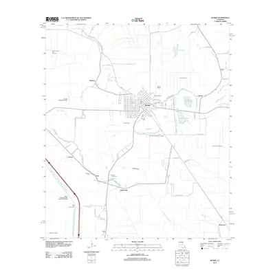 2012 Bunkie2012 Print · USGSBunkie and its surrounding bayous are captured here during a period of active oil and gas extraction in central Louisiana. Genealogists can locate several family and community burial sites like Hatfield Cem and Fogleman Cem alongside landmarks like Mixon Airport.
 - 2012 Map of Lone Pine, 2012 Print
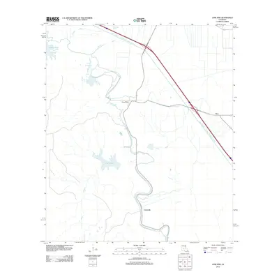 2012 Lone Pine2012 Print · USGSLouisiana's Avoyelles Parish lowlands come into sharp focus in the early twenty-first century, showing a landscape defined by water management. You can trace the engineering of the Bayou Boeuf - Cocodrie Diversion Channel and find local landmarks like Lone Pine and Johnson Cem.
 - 2012 Map of Woodworth West, 2012 Print
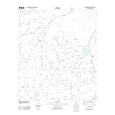 2012 Woodworth West2012 Print · USGSThe woodlands of Rapides Parish come into focus here during the early twenty-first century, showcasing a landscape defined by timber tracts and bayous. Researchers can locate local landmarks like Castor Plunge, Evangeline Camp, and the winding course of Bayou Boeuf.
 - 2012 Map of Colfax, 2012 Print
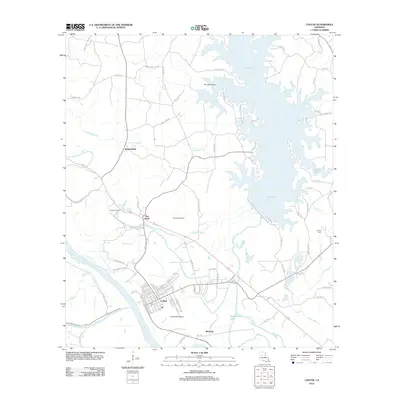 2012 Colfax2012 Print · USGSGrant Parish and the town of Colfax are captured here in the early twenty-first century, showing a landscape defined by the Red River and Lake Iatt. Researchers can trace the layout of the Colfax Oil Field or locate local landmarks like the Corbett Cem and The Rock.
Showing maps 1-25 of 192
Top cities of Rapides Parish
- Alexandria historical maps
- Pineville historical maps
- Ball historical maps
- Glenmora historical maps
- Lecompte historical maps
- Boyce historical maps
See more
Frequently asked questions
- What are the different types of historical maps available for Rapides Parish?
- What is the oldest map of Rapides Parish?
- Where can I purchase historical maps of Rapides Parish for my home or office?
- Where can I download high-res historical maps of Rapides Parish?
- Are there historical topographic maps available for Rapides Parish?
- Is there historical aerial imagery available for Rapides Parish?
- Where are historical maps of Rapides Parish sourced from?