2010s Maps of Rapides Parish, Louisiana
Explore 105 historic maps of Rapides Parish from the 2010s. These maps offer a rare glimpse into what life looked like during the 2010s — showing old roads, neighborhoods, homes, and landmarks that have changed or disappeared over time.
Whether you're researching your family's past, planning a metal detecting trip, or studying how Rapides Parish's landscape evolved across the 2010s, these high-resolution maps are a powerful tool for exploring the history of this region.
- Focus on a specific era: All maps on this page are from the 2010s, giving you a focused view of this time period.
- See what’s changed: Compare century-old streets, trails, and buildings to today's modern landscape using overlays and satellite layers.
- Research with precision: Use these maps for genealogy, historical research, land use analysis, or educational projects.
- View, download, or print: Maps are fully viewable online in high resolution, and can be downloaded or printed for your own records.
Start exploring Rapides Parish's history through authentic maps from the 2010s. This is your window into the past.
Rapides Parish, LA maps
(105)- 2012 Map of Glenmora, 2012 Print
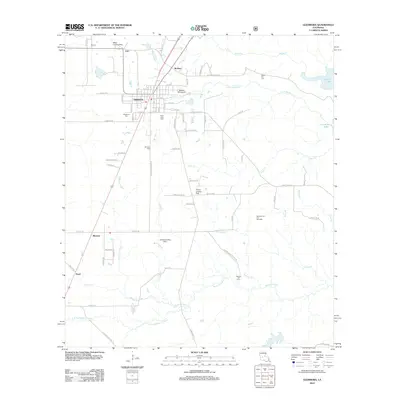 2012 Glenmora2012 Print · USGSLouisiana's timber and oil country comes into focus in this early twenty-first-century survey of Glenmora. Trace family roots at Rose Lawn Cem and Johnson Cem, or explore local landmarks like Andrus Landing Field and the Glenmora Oil and Gas Field.
 - 2012 Map of Steep Gully, 2012 Print
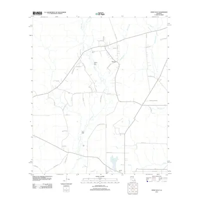 2012 Steep Gully2012 Print · USGSIn the rural reaches of Allen Parish during the early 21st century, the landscape is defined by the winding waters of Tenmile Cr and the settlement of Westport. Researchers can trace local lineage through the Tenmile Cem and West Cem, or locate the Plainview Lookout Tower near Cow Bayou.
 - 2012 Map of Pawnee, 2012 Print
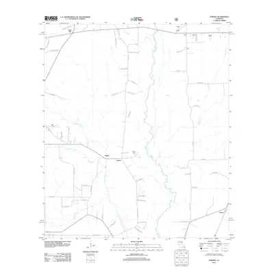 2012 Pawnee2012 Print · USGSAllen Parish timberlands and small rural communities are captured here in the early twenty-first century. Genealogists and local historians can trace family roots and old property lines via Bethel Cem, Osburn Willis Cem, and the community of Pawnee.
 - 2012 Map of Cocodrie Lake, 2012 Print
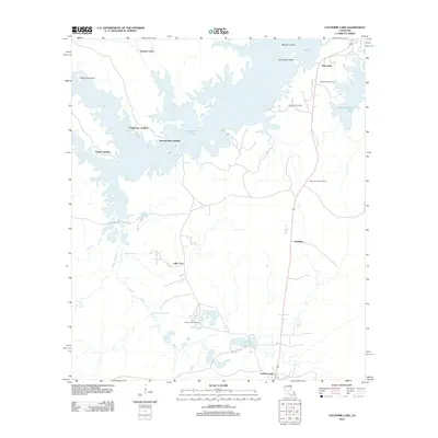 2012 Cocodrie Lake2012 Print · USGSEvangeline Parish at the start of the 2010s shows a landscape defined by the intricate waterways of Cocodrie Lake. Genealogists and local historians can trace family locations near Clearwater, Meridian, and Oak Grove Cemetery.
 - 2012 Map of Bunkie, 2012 Print
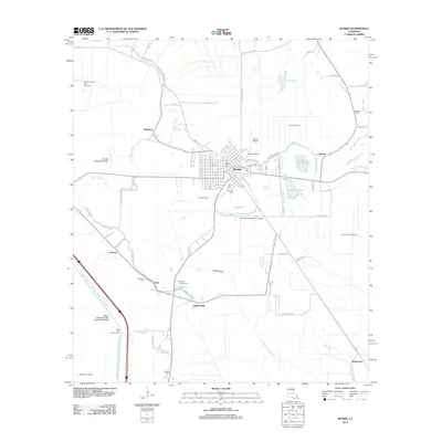 2012 Bunkie2012 Print · USGSBunkie and its surrounding bayous are captured here during a period of active oil and gas extraction in central Louisiana. Genealogists can locate several family and community burial sites like Hatfield Cem and Fogleman Cem alongside landmarks like Mixon Airport.
 - 2012 Map of Lone Pine, 2012 Print
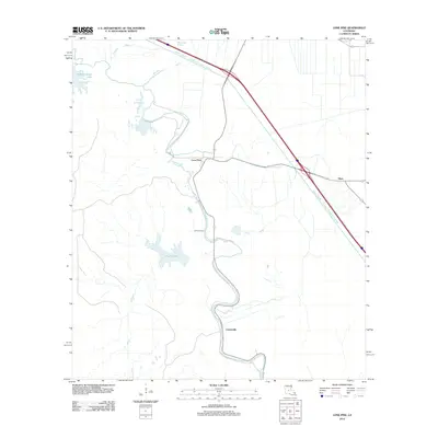 2012 Lone Pine2012 Print · USGSLouisiana's Avoyelles Parish lowlands come into sharp focus in the early twenty-first century, showing a landscape defined by water management. You can trace the engineering of the Bayou Boeuf - Cocodrie Diversion Channel and find local landmarks like Lone Pine and Johnson Cem.
 - 2012 Map of Woodworth West, 2012 Print
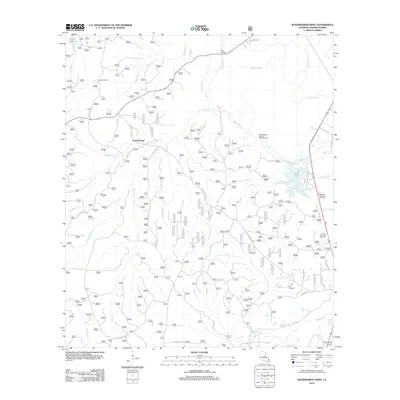 2012 Woodworth West2012 Print · USGSThe woodlands of Rapides Parish come into focus here during the early twenty-first century, showcasing a landscape defined by timber tracts and bayous. Researchers can locate local landmarks like Castor Plunge, Evangeline Camp, and the winding course of Bayou Boeuf.
 - 2012 Map of Colfax, 2012 Print
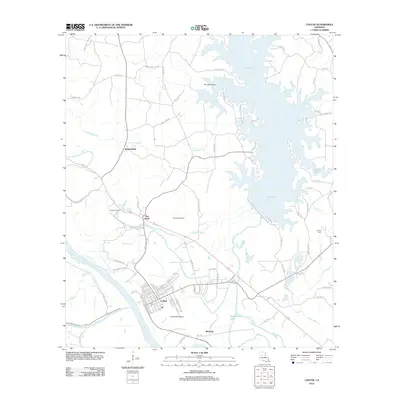 2012 Colfax2012 Print · USGSGrant Parish and the town of Colfax are captured here in the early twenty-first century, showing a landscape defined by the Red River and Lake Iatt. Researchers can trace the layout of the Colfax Oil Field or locate local landmarks like the Corbett Cem and The Rock.
 - 2012 Map of Belle d'Eau, 2012 Print
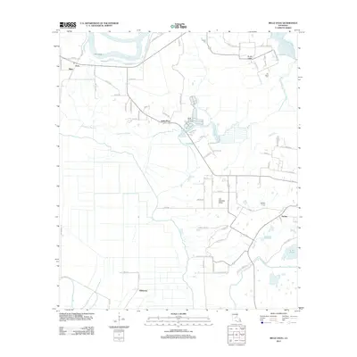 2012 Belle d'Eau2012 Print · USGSThe alluvial plains of Avoyelles Parish are captured here in the early 2010s, showing a landscape defined by the Red River and rural bayous. Researchers can trace family-named routes and locate quiet local landmarks such as Kalone Cem, Echo Landing, and the community of Belle d'Eau.
 - 2012 Map of Elmer, 2012 Print
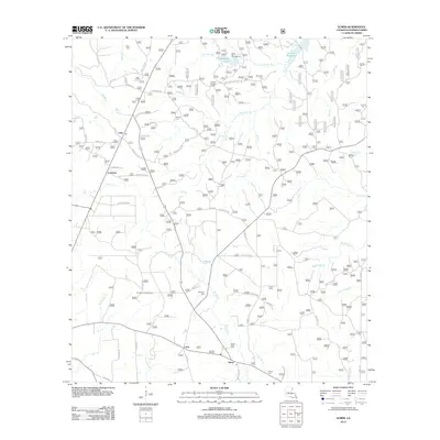 2012 Elmer2012 Print · USGSRapides Parish is shown here during a period of transition between rural agricultural roots and active forest management. Researchers can trace family sites and local landmarks like Rougeau Cem, Gardner Lookout Tower, and the community at Otis.
 - 2012 Map of Alexandria, 2012 Print
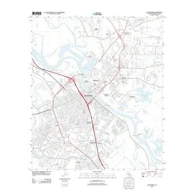 2012 Alexandria2012 Print · USGSThe twin cities of Alexandria and Pineville are captured in the early 2010s as they flank the Red River. Genealogists and historians can locate numerous sites including the Alexandria National Cem, Camp Beauregard, and Fort Randolph.
 - 2012 Map of Afeman, 2012 Print
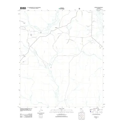 2012 Afeman2012 Print · USGSRapides Parish in the early 2000s remains a landscape of dense pine forests and winding creek beds. Genealogists can trace family heritage through local landmarks like Mount Moriah Cem, Doyle Cem, and family-named routes such as Bud Bounds Rd.
 - 2012 Map of Woodworth East, 2012 Print
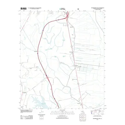 2012 Woodworth East2012 Print · USGSRapides Parish at the start of the 2010s reveals a complex landscape of bayous and academic expansion. Genealogists and local historians can trace family burial sites like Figgins Cem and Saint John Cem near Louisiana State University Alexandria.
 - 2012 Map of Lena, 2012 Print
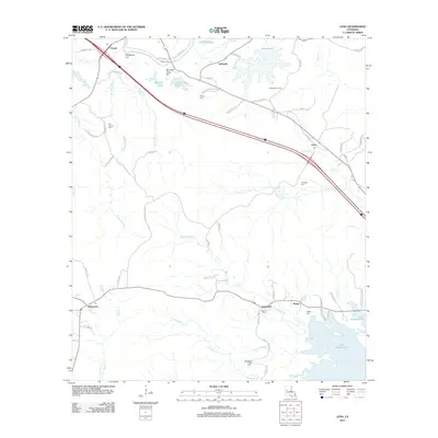 2012 Lena2012 Print · USGSRapides Parish in the early twenty-first century reveals a landscape defined by Bayou Castor and the sprawling waters of Lake Rodemacher. Local historians can trace old family sites and rural centers like Flatwoods, Lena, and the Monnett Ferry crossing.
 - 2012 Map of Cheneyville, 2012 Print
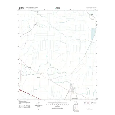 2012 Cheneyville2012 Print · USGSLouisiana's Rapides Parish reveals its river-bound heritage in this 2012 survey centered on the town of Cheneyville. Genealogists and local historians can trace the landscape from the banks of Bayou Boeuf to family-named sites like Stafford Cem and Loyd.
 - 2012 Map of Libuse, 2012 Print
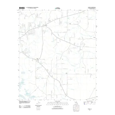 2012 Libuse2012 Print · USGSCzech heritage and rural agriculture define this part of Rapides Parish in the early 2010s. Genealogists can trace family connections at the Libuse Czech Cem and Hooper Cem, or explore the areas around Kolin and the Libuse Lookout Tower.
 - 2012 Map of Boyce, 2012 Print
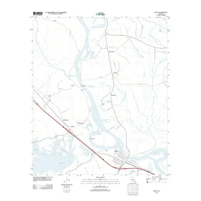 2012 Boyce2012 Print · USGSBoyce and the Red River floodplain are captured in the early twenty-first century as they balance old river settlements with modern infrastructure. Genealogists and local historians can trace family locations near Saint Aloysius Cem, the Mill Pond at Zimmerman, and the community of Ravencamp.
 - 2012 Map of Latanier, 2012 Print
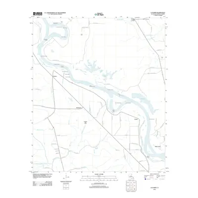 2012 Latanier2012 Print · USGSThe riverfront landings and bayous of Rapides Parish are recorded here in the early twenty-first century. Researchers can trace historic river access points like Latanier Landing and Jones Quarters Landing or locate family sites at Peart Cem and Wise Cem.
 - 2012 Map of Gardner, 2012 Print
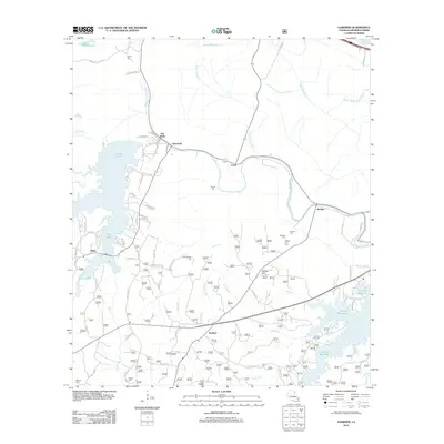 2012 Gardner2012 Print · USGSRapides Parish at the start of the decade shows a landscape of expansive reservoirs and bayou settlements. Genealogists and local historians can trace family locations near Hot Wells or locate several local burial grounds like Texada Cem and McNutt Hill Cem.
 - 2012 Map of Effie, 2012 Print
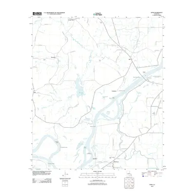 2012 Effie2012 Print · USGSAvoyelles Parish is defined by the winding Red River and its network of bayous in this recent survey. Researchers can trace local lineage through sites like Saint Catherine Cem or locate historical river access at Moncla Landing and Myrtle Grove Landing.
 - 2012 Map of Buckeye NE, 2012 Print
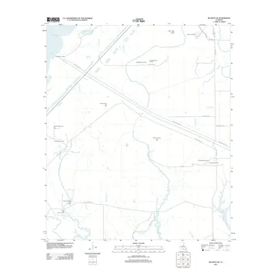 2012 Buckeye NE2012 Print · USGSRapides Parish is mapped here in the early twenty-first century, showcasing a landscape defined by wetlands and heavy industry. Researchers can trace the extensive network of energy sites like the West Saline Lake Oil Field and the Cypress Bayou Oil Field alongside the Catahoula Lake Diversion Canal.
 - 2012 Map of Melder, 2012 Print
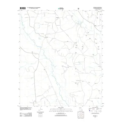 2012 Melder2012 Print · USGSRapides Parish in the early 2010s shows a landscape of timbered ridges and river bottoms centered on the Calcasieu River. Researchers can trace rural family sites near Melder or locate burial grounds such as Lone Star Cem and Union Hill Cem.
 - 2012 Map of Jericho, 2012 Print
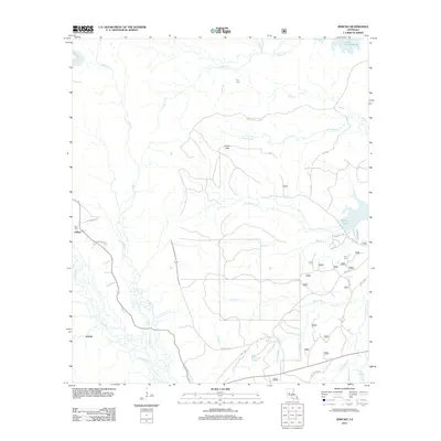 2012 Jericho2012 Print · USGSCentral Louisiana timberlands and creek valleys are documented here during the early twenty-first century. Genealogists and local historians can trace family locations near Clifton, Ball Cem, and the waters of Cotile Lake.
 - 2012 Map of Lecompte, 2012 Print
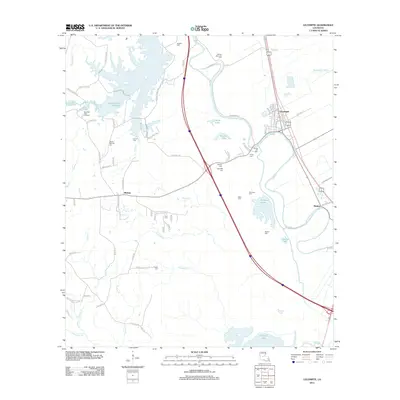 2012 Lecompte2012 Print · USGSRapides Parish in the early 2010s shows a landscape of bayous and reservoirs surrounding the town of Lecompte. Genealogists can locate numerous local burial sites like Spring Hill Cem and Paul Cem, while mapping the banks of Bayou Boeuf.
 - 2012 Map of Holloway, 2012 Print
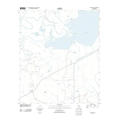 2012 Holloway2012 Print · USGSRapides Parish in the early 2010s reveals a landscape where central Louisiana's watery bayous meet family-named country roads. Genealogists and local historians can trace legacy tracts near Holloway and Holloway Prairie, or locate industrial sites like the South Catahoula Oil Field.
Showing maps 1-25 of 105
Top cities of Rapides Parish
- Alexandria historical maps
- Pineville historical maps
- Ball historical maps
- Glenmora historical maps
- Lecompte historical maps
- Boyce historical maps
See more
Frequently asked questions
- What are the different types of historical maps available for Rapides Parish?
- What is the oldest map of Rapides Parish?
- Where can I purchase historical maps of Rapides Parish for my home or office?
- Where can I download high-res historical maps of Rapides Parish?
- Are there historical topographic maps available for Rapides Parish?
- Is there historical aerial imagery available for Rapides Parish?
- Where are historical maps of Rapides Parish sourced from?