Old Maps of Willmar, Minnesota for Hiking & Exploration
Hike through history with 28 historic maps of Willmar. Explore old trails, ghost towns, and forgotten backroads — perfect for outdoor adventurers and local explorers.
- Rediscover forgotten places: Map out old mining camps, roads, and footpaths that no longer exist on modern maps.
- Layer with modern tools: Combine with LiDAR or satellite views to plan hikes through historical terrain.
- Made for exploration: Popular among hikers, overlanders, and local history lovers.
Use these maps to find adventure and explore the hidden past of Willmar.
Willmar, MN maps
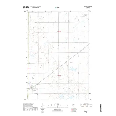
(28)- 1953 Map of Saint Cloud, 1968 Print
 1953 Saint Cloud1968 Print · USGSCentral Minnesota's lake country and the Mississippi River valley are caught in a period of steady mid-century growth. Researchers can trace historic rail lines, old granite works, and local landmarks like St. Johns University, Camp Ripley, and the shores of Lake Minnewaska.3 unique versions available
 - 1957 Map of Saint Cloud
 1957 Saint Cloud1957 Print · USGSCentral Minnesota's lake country and rail corridors are meticulously detailed in the mid-1950s. Genealogists and researchers can trace the growth of towns like Alexandria, Willmar, and Saint Cloud along the Great Northern railroad line.
 - 1958 Map of Saint Cloud
 1958 Saint Cloud1958 Print · USGSCentral Minnesota in the mid-1950s shows a landscape of growing regional hubs and hundreds of glacial lakes connected by an extensive rail network. Genealogists and historians can trace the early footprints of Saint Cloud, Alexandria, and Willmar along the Great Northern Railway.
 - 1958 Map of Raymond, 1960 Print
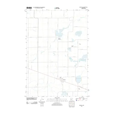
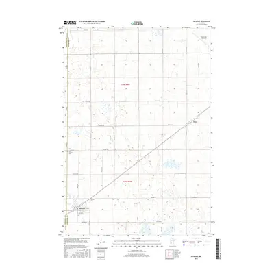
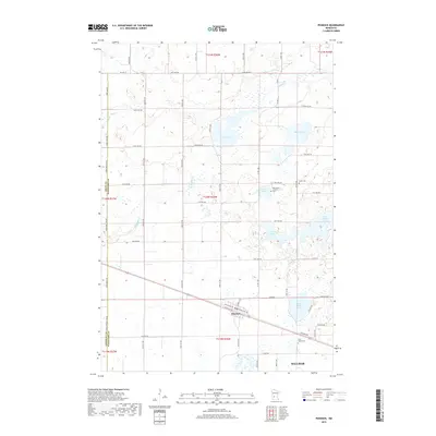
 1958 Raymond1960 Print · USGSIn the late fifties, the prairie of Kandiyohi County was defined by the diagonal line of the Great Northern railroad. Researchers can locate the small settlement of Priam, family plots at Fairview Cem, and rural schoolhouses like Golden Grove Sch.2 unique versions available
 - 1958 Map of Pennock, 1960 Print
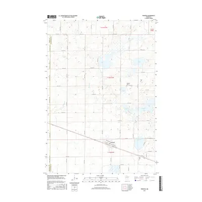
 1958 Pennock1960 Print · USGSKandiyohi County was defined by its prairie wetlands and the steel of the mid-century rail era. You can trace the development of small-town life through locations like Pennock, the rural Town Hall, and local landmarks like Mamré Lund Ch or School No 780.2 unique versions available
 - 1958 Map of Willmar, 1960 Print
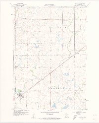
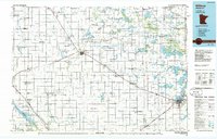
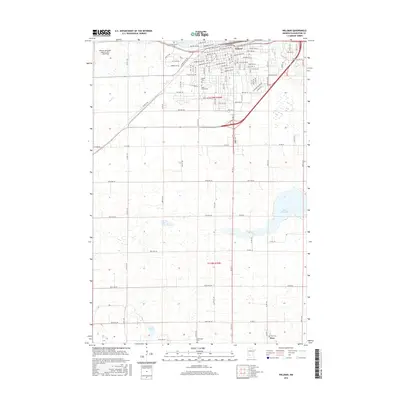
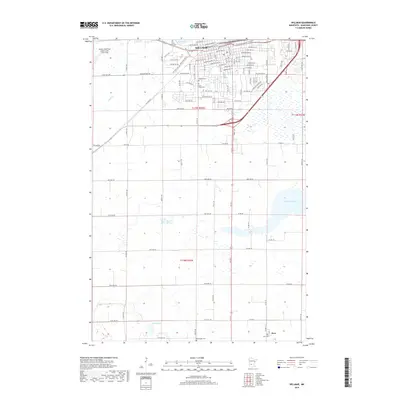
 1958 Willmar1960 Print · USGSWillmar is captured here in the late fifties as a growing rail and aviation hub surrounded by the tight-knit farming townships of Kandiyohi County. Genealogists can locate family landmarks like Bethel Cem, St Marys Ch, and numerous rural schoolhouses including Pleasant View Sch.3 unique versions available
 - 1958 Map of Solomon Lake, 1960 Print
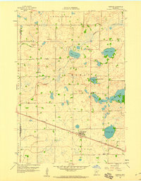
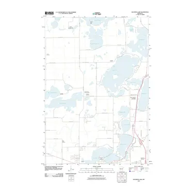
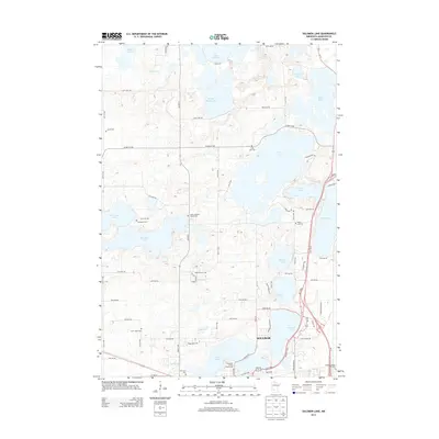
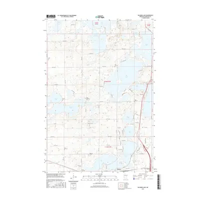
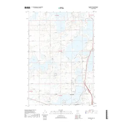
 1958 Solomon Lake1960 Print · USGSNorth of Willmar in the late fifties, the landscape was a mosaic of glacial lakes and institutional hubs. Genealogists and local historians can trace rural school districts, the grounds of the Willmar State Hospital, and family-named landmarks like Lunby Cem and Skataas Lake.3 unique versions available
 - 1986 Map of Willmar
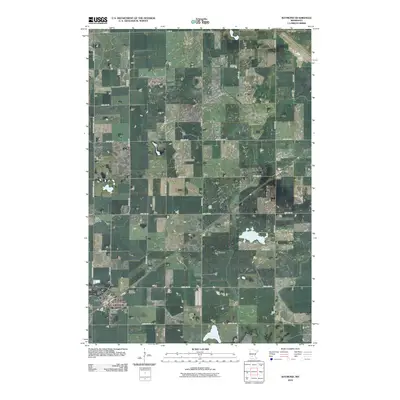
 1986 Willmar1986 Print · USGSWest-central Minnesota in the mid-eighties was a landscape of rail-dependent prairie towns and extensive waterfowl conservation areas. Researchers can trace the path of the Burlington Northern through Kerkhoven or explore the lake-dotted terrain of Sibley State Park.2 unique versions available
 - 2010 Map of Solomon Lake, 2010 Print
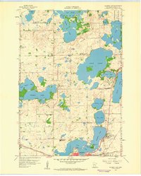
 2010 Solomon Lake2010 Print · USGSCovers Willmar, including Kandiyohi County, United States, and other nearby areas
 - 2010 Map of Raymond, 2010 Print
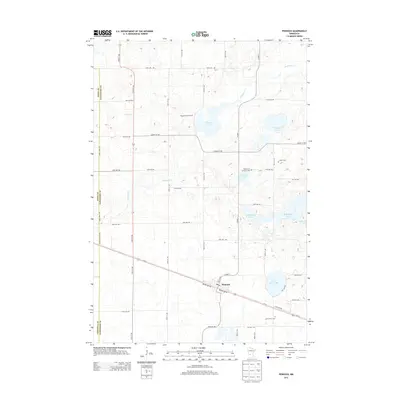
 2010 Raymond2010 Print · USGSCovers Willmar, including Raymond, Priam, and other nearby areas
 - 2010 Map of Pennock, 2010 Print
 2010 Pennock2010 Print · USGSCovers Willmar, including Pennock, Kandiyohi County, and other nearby areas
 - 2010 Map of Willmar, 2010 Print
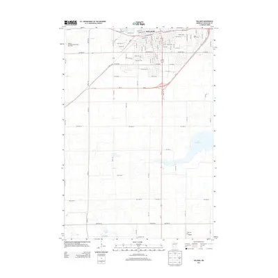
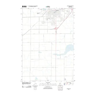 2010 Willmar2010 Print · USGSCovers Willmar, including Svea, Kandiyohi County, and other nearby areas
 - 2013 Map of Pennock, 2013 Print
 2013 Pennock2013 Print · USGSCovers Willmar, including Pennock, Kandiyohi County, and other nearby areas
 - 2013 Map of Willmar, 2013 Print
 2013 Willmar2013 Print · USGSCovers Willmar, including Svea, Kandiyohi County, and other nearby areas
 - 2013 Map of Raymond, 2013 Print
 2013 Raymond2013 Print · USGSCovers Willmar, including Raymond, Priam, and other nearby areas
 - 2013 Map of Solomon Lake, 2013 Print
 2013 Solomon Lake2013 Print · USGSCovers Willmar, including Kandiyohi County, United States, and other nearby areas
 - 2016 Map of Willmar, 2016 Print
 2016 Willmar2016 Print · USGSCovers Willmar, including Svea, Kandiyohi County, and other nearby areas
 - 2016 Map of Solomon Lake, 2016 Print
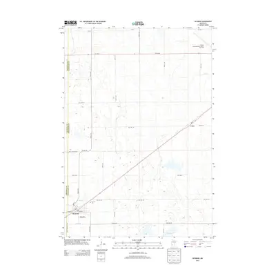
 2016 Solomon Lake2016 Print · USGSCovers Willmar, including Kandiyohi County, United States, and other nearby areas
 - 2016 Map of Raymond, 2016 Print
 2016 Raymond2016 Print · USGSCovers Willmar, including Raymond, Priam, and other nearby areas
 - 2016 Map of Pennock, 2016 Print
 2016 Pennock2016 Print · USGSCovers Willmar, including Pennock, Kandiyohi County, and other nearby areas
 - 2019 Map of Solomon Lake, 2019 Print
 2019 Solomon Lake2019 Print · USGSCovers Willmar, including Kandiyohi County, United States, and other nearby areas
 - 2019 Map of Willmar, 2019 Print
 2019 Willmar2019 Print · USGSCovers Willmar, including Svea, Kandiyohi County, and other nearby areas
 - 2019 Map of Pennock, 2019 Print
 2019 Pennock2019 Print · USGSCovers Willmar, including Pennock, Kandiyohi County, and other nearby areas
 - 2019 Map of Raymond, 2019 Print
 2019 Raymond2019 Print · USGSCovers Willmar, including Raymond, Priam, and other nearby areas
 - 2022 Map of Willmar, 2022 Print
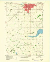
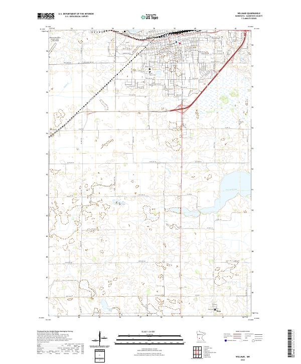 2022 Willmar2022 Print · USGSWillmar and the southern prairie of Kandiyohi County are documented in the early twenty-first century as the city expands toward the lake country. Genealogists can locate several local burial grounds such as Saint Marys Cem, Hardanger Cem, and the settlement of Svea.
Showing maps 1-25 of 28
Top cities near Willmar
- New London historical maps
- Spicer historical maps
- Raymond historical maps
- Kandiyohi historical maps
- Roseland historical maps
- Roseland historical maps
See more
Frequently asked questions
- What are the different types of historical maps available for Willmar?
- What is the oldest map of Willmar?
- Where can I purchase historical maps of Willmar for my home or office?
- Where can I download high-res historical maps of Willmar?
- Are there historical topographic maps available for Willmar?
- Is there historical aerial imagery available for Willmar?
- Where are historical maps of Willmar sourced from?