2010s Maps of Northeast St Louis, Minnesota
Explore 84 historic maps of Northeast St Louis from the 2010s. These maps offer a rare glimpse into what life looked like during the 2010s — showing old roads, neighborhoods, homes, and landmarks that have changed or disappeared over time.
Whether you're researching your family's past, planning a metal detecting trip, or studying how Northeast St Louis's landscape evolved across the 2010s, these high-resolution maps are a powerful tool for exploring the history of this region.
- Focus on a specific era: All maps on this page are from the 2010s, giving you a focused view of this time period.
- See what’s changed: Compare century-old streets, trails, and buildings to today's modern landscape using overlays and satellite layers.
- Research with precision: Use these maps for genealogy, historical research, land use analysis, or educational projects.
- View, download, or print: Maps are fully viewable online in high resolution, and can be downloaded or printed for your own records.
Start exploring Northeast St Louis's history through authentic maps from the 2010s. This is your window into the past.
Northeast St Louis, MN maps
(84)- 2010 Map of Norwegian Bay, 2010 Print
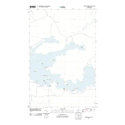 2010 Norwegian Bay2010 Print · USGSVermilion Lake and the surrounding wilderness of St. Louis County are shown here in the early 21st century. Outdoor enthusiasts and local historians can trace the complex shoreline from the Wakemup Bay Campground to the Barnes Seaplane Base and Goodwill Island.
 - 2011 Map of Lake Agnes, 2011 Print
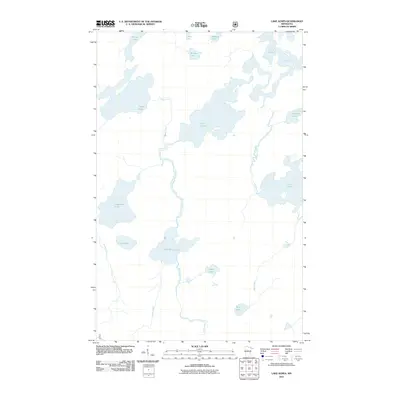 2011 Lake Agnes2011 Print · USGSIn the early twenty-first century, this wilderness area north of Ely remains a complex network of glacial lakes and portage rivers. Researchers can trace the primary water routes through Nina Moose Lake, Lake Agnes, and the Oyster River.
 - 2011 Map of Lake Jeanette, 2011 Print
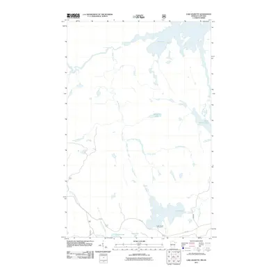 2011 Lake Jeanette2011 Print · USGSThe Minnesota-Ontario borderlands remained a wild corridor of interconnected lakes and rapids into the early twenty-first century. Outdoorsmen and geographers can trace water routes through Loon Falls, the Devils Cascade, and the Lake Jeanette Campground.
 - 2011 Map of Buyck, 2011 Print
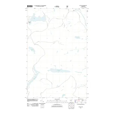 2011 Buyck2011 Print · USGSNortheast St. Louis County at the start of the 2010s is a landscape of glacial lakes and logging roads. Local historians can trace the settlement at Buyck and remote transport hubs like the Kjostad Lake Seaplane Base or the winding Vermilion River.
 - 2011 Map of Picket Lake, 2011 Print
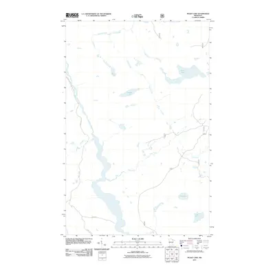 2011 Picket Lake2011 Print · USGSNortheast St. Louis County at the start of the current century remains a dense network of North Woods waterways and timberland. Trace the remote drainage of the Vermilion River and identify quiet water bodies like Mankus Lake and Picket Lake.
 - 2011 Map of Lapond Lake, 2011 Print
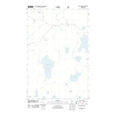 2011 Lapond Lake2011 Print · USGSSaint Louis County in 2011 remains a vast network of interconnected waterways and traditional routes through the lake country. Researchers can trace the Moose River Portage or navigate the complex shorelines of Big Moose Lake and Lapond Lake.
 - 2011 Map of Astrid Lake, 2011 Print
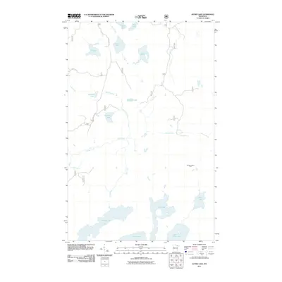 2011 Astrid Lake2011 Print · USGSIn the remote woods of northeast Minnesota during the early twenty-first century, this landscape is a maze of glacial lakes and forestry roads. Researchers can locate the Norway Lookout Tower and trace the shores of Trout Lake, Oriniack Lake, and Astrid Lake.
 - 2011 Map of Shell Lake, 2011 Print
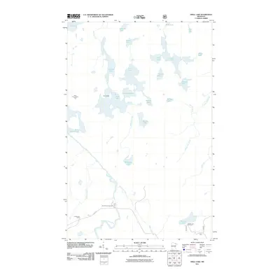 2011 Shell Lake2011 Print · USGSThis northern Minnesota wilderness at the start of the 2010s shows a landscape of interconnected lakes and river corridors. Researchers can locate remote landmarks like the Sioux River Lookout Tower and early 21st-century recreation sites including Cold Springs Camp and Sioux River Campground.
 - 2011 Map of Bootleg Lake, 2011 Print
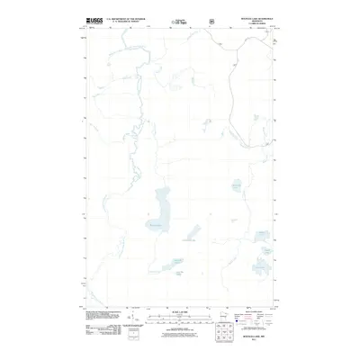 2011 Bootleg Lake2011 Print · USGSSaint Louis County is captured here in the early twenty-first century, showing a remote landscape of glacial lakes and northern rivers. Researchers can trace the path of the Little Indian Sioux River past Sioux Falls and locate remote waters like Bootleg Lake.
 - 2011 Map of Sassas Creek, 2011 Print
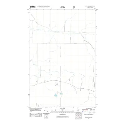 2011 Sassas Creek2011 Print · USGSNortheast Minnesota's wooded interior is captured here during the early twenty-first century, showing a landscape shaped by river systems and forest roads. Researchers can trace the winding course of the Little Fork River or locate family-named landmarks such as Big Rosendal Lake and Bystrom Rd.
 - 2011 Map of Lost Lake, 2011 Print
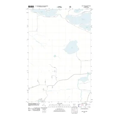 2011 Lost Lake2011 Print · USGSNorthern Minnesota lake country is captured here in the early 21st century, showing the intricate shoreline of Vermilion Lake. You can trace recreational sites like Pfeifer Lake Campground and local family routes like Koski Rd and Karjala Rd.
 - 2011 Map of Crab Lake, 2011 Print
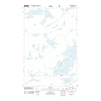 2011 Crab Lake2011 Print · USGSThe northern lake country of Saint Louis County is shown in detail during the early 2010s, featuring a vast system of interconnected glacial lakes and rivers. Researchers can trace remote water routes through Crab Lake, identify named landforms like Snellman Island, or locate southern access points along Wolf Lake Rd.
 - 2011 Map of Vermilion Dam, 2011 Print
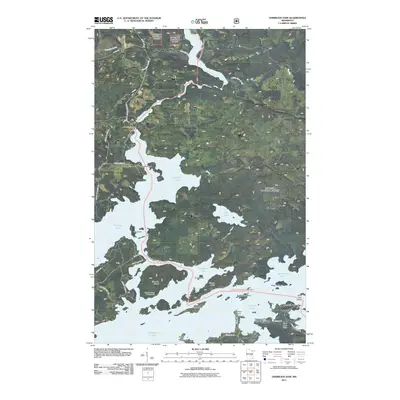 2011 Vermilion Dam2011 Print · USGSVermilion Lake and its surrounding Northwoods terrain are documented here at the start of the 2010s. Researchers can locate specific access points and landmarks like the Peils Vermillion Wings Seaplane Base, Hinsdale Island Campground, and Moccasin Point.
 - 2011 Map of Coleman Island, 2011 Print
 2011 Coleman Island2011 Print · USGSThe Ontario-Minnesota borderlands are captured here in the early twenty-first century, showing a wilderness of interconnected lakes and bays. Researchers can map the intricate shorelines of Lac La Croix, Coleman Island, and Ge-Be-On-E-Quet Lake.
 - 2011 Map of Takucmich Lake, 2011 Print
 2011 Takucmich Lake2011 Print · USGSThe Minnesota-Ontario borderlands are captured here in the early twenty-first century, showing a pristine network of glaciated lakes and islands. Trace the intricate waterways and portage routes between Takucmich Lake, Lac la Croix, and the remote Ge-be-on-e-quet Lake.
 - 2011 Map of Echo Lake, 2011 Print
 2011 Echo Lake2011 Print · USGSIn the early 21st century, this northern wilderness remained a landscape defined by its intricate waterways and forest roads. Researchers can trace the path of the Echo River and find points of interest like the Echo Lake Campground or the remote Hunting Shack River.
 - 2011 Map of Chad Lake, 2011 Print
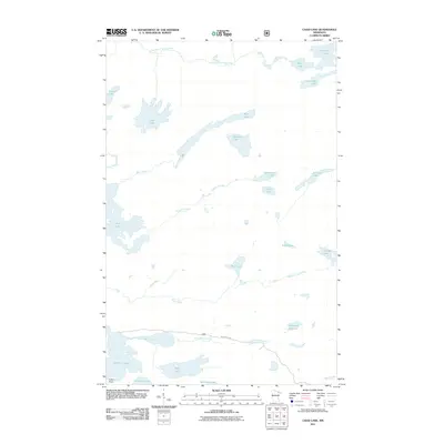 2011 Chad Lake2011 Print · USGSSaint Louis County at the beginning of the 2010s reveals a complex landscape of wilderness lakes and northern shorelines. Genealogists and researchers can trace the vicinity of Indian Point or navigate the waterways of Vermilion Lake, Chad Lake, and the Little Indian Sioux River.
 - 2011 Map of Sioux Pine Island, 2011 Print
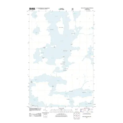 2011 Sioux Pine Island2011 Print · USGSThe island-studded waters of northeast Minnesota appear in great detail during the early 2000s. Boaters and local historians can trace the intricate shorelines of Sioux Pine Island, Saint Marys Island, and the many landings around Vermilion Lake.
 - 2011 Map of Iron Lake, 2011 Print
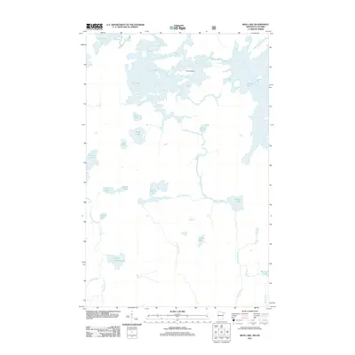 2011 Iron Lake2011 Print · USGSThe borderlands of Minnesota and Ontario are captured here in the early 2000s, showing a landscape defined entirely by its wilderness waterways. You can trace the complex flow of the Beartrap River and identify specific landmarks like Curtain Falls and Three Island.
 - 2011 Map of Iron Lake OE N, 2011 Print
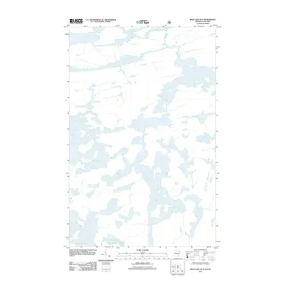 2011 Iron Lake OE N2011 Print · USGSThe Rainy River District and the international border are defined by a labyrinth of water and islands in this early twenty-first-century survey. Researchers and paddlers can trace the intricate shorelines of Lac la Croix, Bottle Lake, and Iron Lake.
 - 2011 Map of Snow Bay, 2011 Print
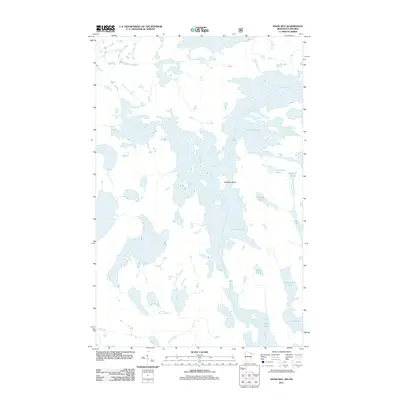 2011 Snow Bay2011 Print · USGSThe Minnesota-Ontario borderlands are captured here in the early twenty-first century as a complex maze of water and forest. Explorers can trace the intricate shorelines of Lac la Croix and find secluded basins like Auchagah Lake and Norway Lake.
 - 2013 Map of Snow Bay, 2013 Print
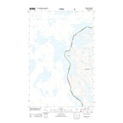 2013 Snow Bay2013 Print · USGSThe international boundary between Minnesota and Ontario follows a winding path through a wilderness of lakes and islands in the early 2010s. Trace the intricate shoreline of Lac la Croix or follow the border south through Sandbar Island to Loon Lake.
 - 2013 Map of Lake Agnes, 2013 Print
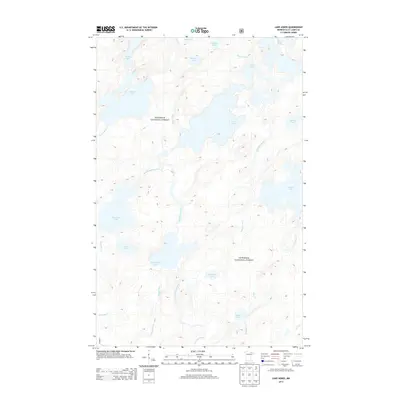 2013 Lake Agnes2013 Print · USGSSuperior National Forest in the early twenty-first century remains a pristine landscape of interconnected glacial waterways and portage routes. Researchers can trace the flow of the Nina Moose River and locate remote features like Oyster Lake and Lac la Croix.
 - 2013 Map of Bootleg Lake, 2013 Print
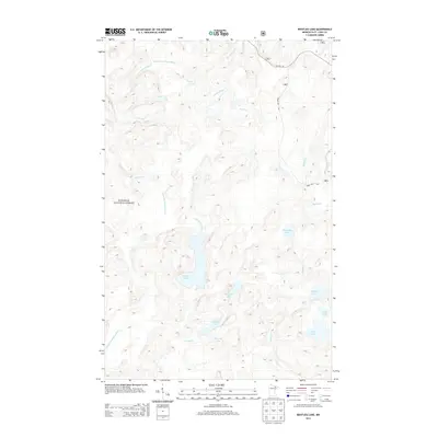 2013 Bootleg Lake2013 Print · USGSThe Boundary Waters wilderness of northern Minnesota is captured here in the early twenty-first century, showing a remote landscape of glacial lakes and portage routes. Outdoor enthusiasts and historians can trace the paths between Bootleg Lake, Sioux Falls, and Niswi Lake.
 - 2013 Map of Astrid Lake, 2013 Print
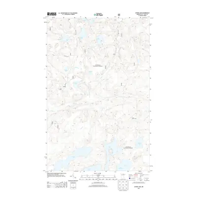 2013 Astrid Lake2013 Print · USGSNortheastern Minnesota's lake-strewn wilderness is meticulously documented here during the early twenty-first century. Researchers and outdoor enthusiasts can trace historical access routes like Forest Route 471 or locate landmarks like the Norway Lookout Tower and Astrid Lake.
Showing maps 1-25 of 84
Frequently asked questions
- What are the different types of historical maps available for Northeast St Louis?
- What is the oldest map of Northeast St Louis?
- Where can I purchase historical maps of Northeast St Louis for my home or office?
- Where can I download high-res historical maps of Northeast St Louis?
- Are there historical topographic maps available for Northeast St Louis?
- Is there historical aerial imagery available for Northeast St Louis?
- Where are historical maps of Northeast St Louis sourced from?