2000s (21st Century) Maps of Butler County, Missouri
Explore 96 historic maps of Butler County from the 2000s (21st Century). These maps offer a rare glimpse into what life looked like during the 2000s — showing old roads, neighborhoods, homes, and landmarks that have changed or disappeared over time.
Whether you're researching your family's past, planning a metal detecting trip, or studying how Butler County's landscape evolved across the 2000s, these high-resolution maps are a powerful tool for exploring the history of this region.
- Focus on a specific era: All maps on this page are from the 2000s, giving you a focused view of this time period.
- See what’s changed: Compare century-old streets, trails, and buildings to today's modern landscape using overlays and satellite layers.
- Research with precision: Use these maps for genealogy, historical research, land use analysis, or educational projects.
- View, download, or print: Maps are fully viewable online in high resolution, and can be downloaded or printed for your own records.
Start exploring Butler County's history through authentic maps from the 2000s. This is your window into the past.
Butler County, MO maps
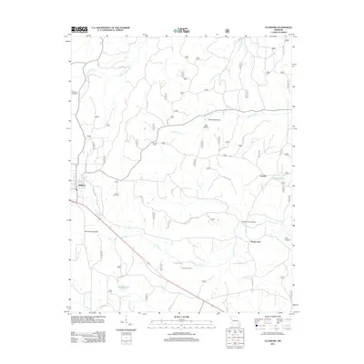
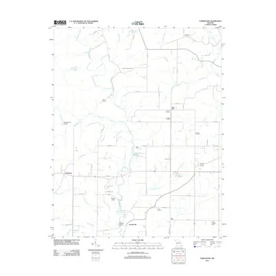
(96)- 2011 Map of Piggott, 2011 Print
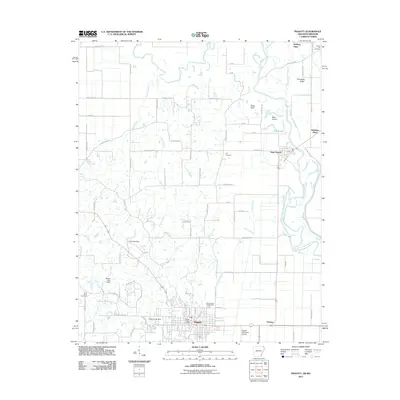 2011 Piggott2011 Print · USGSCovers Butler County, including Piggott, Saint Francis, and other nearby areas
 - 2011 Map of Corning, 2011 Print
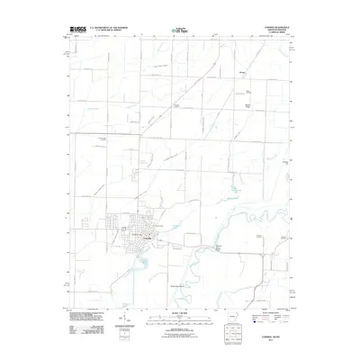 2011 Corning2011 Print · USGSCovers Butler County, including Corning, Moark, and other nearby areas
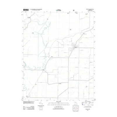
 - 2011 Map of Pollard, 2011 Print
 2011 Pollard2011 Print · USGSCovers Butler County, including Pollard, Crockett, and other nearby areas
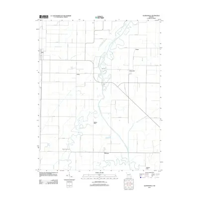
 - 2011 Map of McDougal, 2011 Print
 2011 McDougal2011 Print · USGSCovers Butler County, including McDougal, Hickoria, and other nearby areas
 - 2011 Map of Wappapello, 2011 Print
 2011 Wappapello2011 Print · USGSCovers Butler County, including Wappapello, Stoddard County, and other nearby areas
 - 2011 Map of Hendrickson, 2011 Print
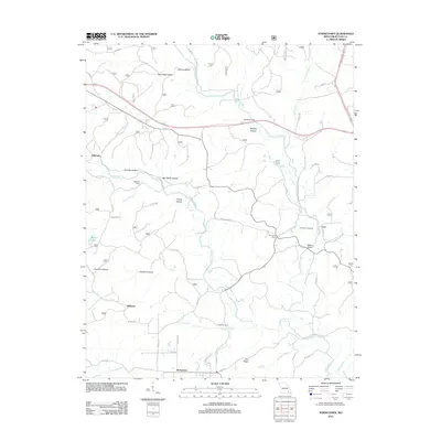
 2011 Hendrickson2011 Print · USGSCovers Butler County, including Hendrickson, Ladero, and other nearby areas
 - 2011 Map of Williamsville, 2011 Print
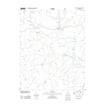 2011 Williamsville2011 Print · USGSCovers Butler County, including Williamsville, Bull Run Camp, and other nearby areas
 - 2011 Map of Oglesville, 2011 Print
 2011 Oglesville2011 Print · USGSCovers Butler County, including Qulin, Carola, and other nearby areas
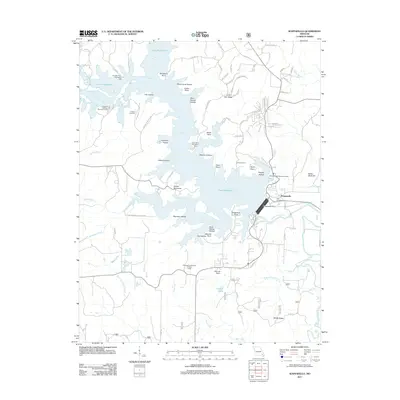
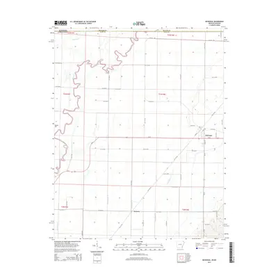
 - 2011 Map of Rombauer, 2011 Print
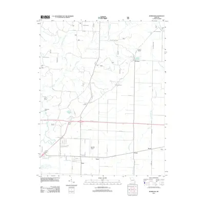 2011 Rombauer2011 Print · USGSCovers Butler County, including Poplar Bluff, Junland, and other nearby areas
 - 2011 Map of Glennonville, 2011 Print
 2011 Glennonville2011 Print · USGSCovers Butler County, including Qulin, Holmes Place, and other nearby areas
 - 2011 Map of Naylor, 2011 Print
 2011 Naylor2011 Print · USGSCovers Butler County, including Naylor, Neelyville, and other nearby areas
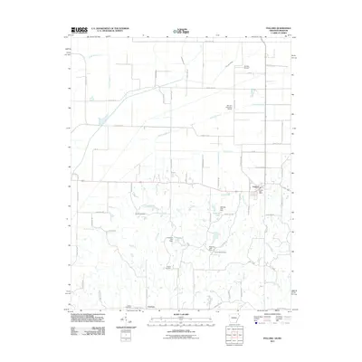
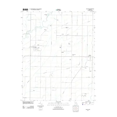
 - 2011 Map of Flatwoods, 2011 Print
 2011 Flatwoods2011 Print · USGSCovers Butler County, including Greenville Ford, Paterson Ford, and other nearby areas
 - 2011 Map of Ellsinore, 2011 Print
 2011 Ellsinore2011 Print · USGSCovers Butler County, including Ellsinore, Brush Arbor, and other nearby areas
 - 2011 Map of Fisk, 2011 Print
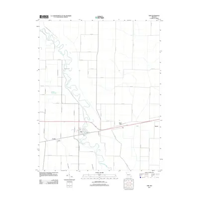 2011 Fisk2011 Print · USGSCovers Butler County, including Fisk, Green Oaks, and other nearby areas
 - 2011 Map of Broseley, 2011 Print
 2011 Broseley2011 Print · USGSCovers Butler County, including Hicoria Spur, Quercus, and other nearby areas
 - 2011 Map of Stringtown, 2011 Print
 2011 Stringtown2011 Print · USGSCovers Butler County, including Milltown, Halloran, and other nearby areas
 - 2011 Map of Hogan Hollow, 2011 Print
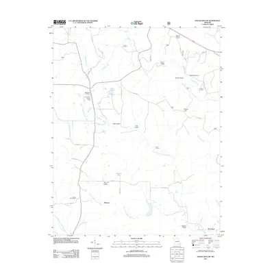 2011 Hogan Hollow2011 Print · USGSCovers Butler County, including Beaverdam, Budapest, and other nearby areas
 - 2011 Map of Hanleyville, 2011 Print
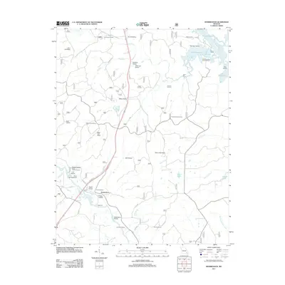
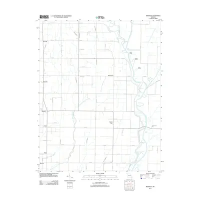
 2011 Hanleyville2011 Print · USGSCovers Butler County, including Morocco, Mayberry, and other nearby areas
 - 2011 Map of Poplar Bluff, 2011 Print
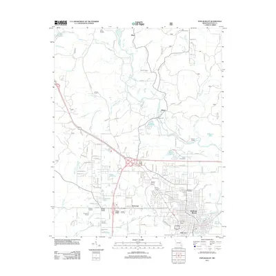 2011 Poplar Bluff2011 Print · USGSCovers Butler County, including Poplar Bluff, Shady Dell, and other nearby areas
 - 2011 Map of Vastus, 2011 Print
 2011 Vastus2011 Print · USGSCovers Butler County, including Vastus, United States, and other nearby areas
 - 2011 Map of Harviell, 2011 Print
 2011 Harviell2011 Print · USGSCovers Butler County, including Poplar Bluff, Angus, and other nearby areas
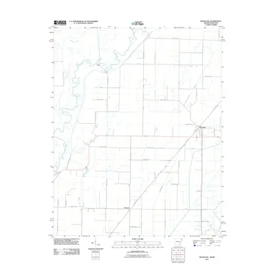
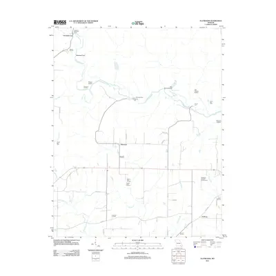
 - 2011 Map of Fairdealing, 2011 Print
 2011 Fairdealing2011 Print · USGSCovers Butler County, including Taft, Lone Hill, and other nearby areas
 - 2012 Map of Puxico, 2012 Print
 2012 Puxico2012 Print · USGSCovers Butler County, including Puxico, Asherville, and other nearby areas
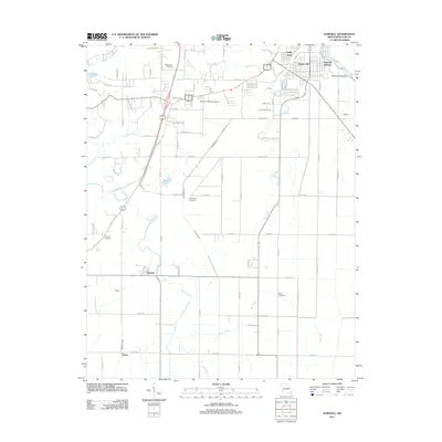
 - 2014 Map of Pollard, 2014 Print
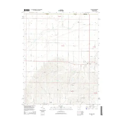 2014 Pollard2014 Print · USGSCovers Butler County, including Pollard, Crockett, and other nearby areas
 - 2014 Map of McDougal, 2014 Print
 2014 McDougal2014 Print · USGSCovers Butler County, including McDougal, Hickoria, and other nearby areas
Showing maps 1-25 of 96
Top cities of Butler County
Frequently asked questions
- What are the different types of historical maps available for Butler County?
- What is the oldest map of Butler County?
- Where can I purchase historical maps of Butler County for my home or office?
- Where can I download high-res historical maps of Butler County?
- Are there historical topographic maps available for Butler County?
- Is there historical aerial imagery available for Butler County?
- Where are historical maps of Butler County sourced from?