2010s Maps of Butler County, Missouri
Explore 69 historic maps of Butler County from the 2010s. These maps offer a rare glimpse into what life looked like during the 2010s — showing old roads, neighborhoods, homes, and landmarks that have changed or disappeared over time.
Whether you're researching your family's past, planning a metal detecting trip, or studying how Butler County's landscape evolved across the 2010s, these high-resolution maps are a powerful tool for exploring the history of this region.
- Focus on a specific era: All maps on this page are from the 2010s, giving you a focused view of this time period.
- See what’s changed: Compare century-old streets, trails, and buildings to today's modern landscape using overlays and satellite layers.
- Research with precision: Use these maps for genealogy, historical research, land use analysis, or educational projects.
- View, download, or print: Maps are fully viewable online in high resolution, and can be downloaded or printed for your own records.
Start exploring Butler County's history through authentic maps from the 2010s. This is your window into the past.
Butler County, MO maps
(69)- 2011 Map of Piggott, 2011 Print
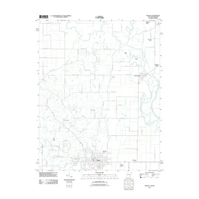 2011 Piggott2011 Print · USGSThe community of Piggott and the meandering Saint Francis River are shown here as they appeared in the early twenty-first century. Genealogists and local historians can trace family-named sites like McElyea Place or find long-established grounds at Hill Cemetery and Chalk Bluff.
 - 2011 Map of Corning, 2011 Print
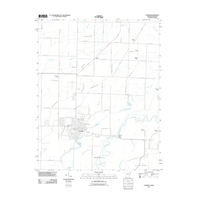 2011 Corning2011 Print · USGSCorning and the Black River bottoms appear here in the early twenty-first century, showing a landscape defined by water management and rural settlement. Genealogists can locate several historic burial sites, including Williams Cemetery, Redenbo Cemetery, and Moark Cemetery.
 - 2011 Map of Pollard, 2011 Print
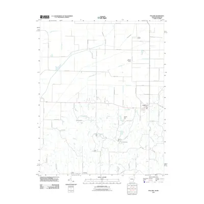 2011 Pollard2011 Print · USGSClay County at the start of the 2010s reveals a precision-drained agricultural landscape centered on the communities of Pollard and Crockett. Researchers can trace local heritage through numerous burial sites like Cummings Cemetery and Hardin Cemetery or explore the drainage network of Fish Trap Slough.
 - 2011 Map of McDougal, 2011 Print
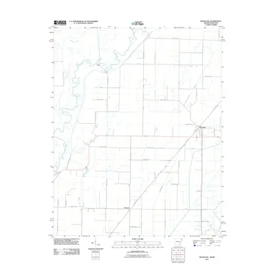 2011 McDougal2011 Print · USGSThe northeastern Arkansas bottomlands near the Missouri border appear here in the early twenty-first century as a landscape of precision drainage and river meanders. Researchers can trace the winding Black River near Moark Landing or locate old corridors like Tram Rd near the town of McDougal.
 - 2011 Map of Wappapello, 2011 Print
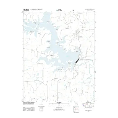 2011 Wappapello2011 Print · USGSIn the early twenty-first century, the Saint Francis River valley in Wayne County remains defined by the vast reach of the Wappapello Dam. Researchers can trace the layout of Wappapello, identify local landmarks like the Davis Air Ranch, and find family history at the Chaonia Cemetery.
 - 2011 Map of Hendrickson, 2011 Print
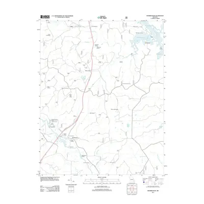 2011 Hendrickson2011 Print · USGSIn the early twenty-first century, this area near the Butler and Wayne county line still reflects its historic river-and-rail roots. Researchers can trace family sites like Magill Cemetery, locate old river crossings at Kechers Ferry, and find landmarks such as Taylor Mill.
 - 2011 Map of Williamsville, 2011 Print
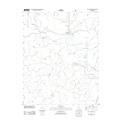 2011 Williamsville2011 Print · USGSThe Black River corridor in southeast Missouri is shown here in the early twenty-first century, featuring a landscape of family cemeteries and river camps. Genealogists and local historians can locate Holladay Cemetery, the settlement of Keeners, and landmarks like Keener Cave.
 - 2011 Map of Oglesville, 2011 Print
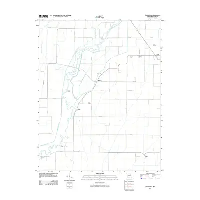 2011 Oglesville2011 Print · USGSButler County, Missouri, is captured here in the early twenty-first century, showing the intricate water management of its river bottomlands. Genealogists can trace family names and burial sites at Kelly Cemetery, Carola Cemetery, and the communities of Qulin and Fagus.
 - 2011 Map of Rombauer, 2011 Print
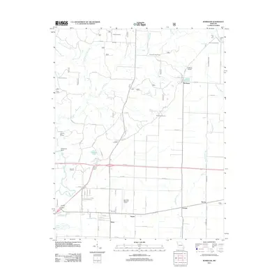 2011 Rombauer2011 Print · USGSThe rural landscapes near Poplar Bluff and the Black River are captured here in the early twenty-first century. Researchers can trace family history through several burial sites like Dooley Cemetery or locate landmarks such as the Rombauer Lookout Tower and Hodges Ferry.
 - 2011 Map of Glennonville, 2011 Print
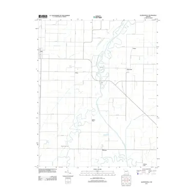 2011 Glennonville2011 Print · USGSSoutheast Missouri’s river lowlands are captured here in the early twenty-first century, showing a landscape defined by the winding Saint Francis River. Researchers can trace old river crossings at Dekyns Ferry and locate local landmarks like Holmes Place and Wilhelmina.
 - 2011 Map of Naylor, 2011 Print
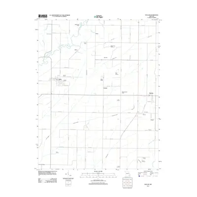 2011 Naylor2011 Print · USGSRipley County and Butler County appear here during the early twenty-first century, showcasing a rural landscape of ridges and river bends. Local historians can trace numerous family burial sites like Barfield Cemetery and old rail points like Gaines Switch.
 - 2011 Map of Flatwoods, 2011 Print
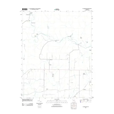 2011 Flatwoods2011 Print · USGSThe Little Black River and its many historic crossings define this corner of Ripley County in the early 2000s. Researchers can trace local heritage through numerous family-named sites, including Spring Hill Cemetery, Pennington Mill, and the Ernest Post Office.
 - 2011 Map of Ellsinore, 2011 Print
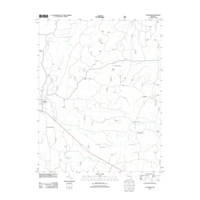 2011 Ellsinore2011 Print · USGSCarter County at the start of the 2010s reveals a landscape of hollows and small settlements. Genealogists and local historians can trace family roots at Robertson Cemetery and Kearney Cemetery or explore the area around Orchard Switch.
 - 2011 Map of Fisk, 2011 Print
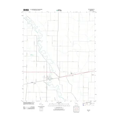 2011 Fisk2011 Print · USGSFisk and the Saint Francis River valley are shown here in the early twenty-first century, revealing a landscape shaped by river commerce and drainage engineering. Researchers can locate Riverside Mill, Poplin Ferry, and the family history preserved at Ash Hills Cemetery.
 - 2011 Map of Broseley, 2011 Print
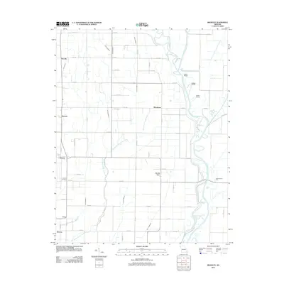 2011 Broseley2011 Print · USGSThe rural landscape of Butler County in the early 2010s reveals a deeply engineered agricultural district shaped by the Saint Francis River. Genealogists and local historians can trace family locations near Broseley, Vale Cemetery, and the river crossing at Higginbothams Ferry.
 - 2011 Map of Stringtown, 2011 Print
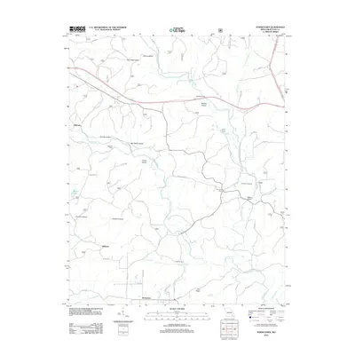 2011 Stringtown2011 Print · USGSButler County, Missouri, at the start of the 2010s shows a landscape of rural settlements and winding waterways. Researchers can trace family history through Sparkman Cemetery, locate old sites like Milltown, and map the crossings at Nickey Bridge.
 - 2011 Map of Hogan Hollow, 2011 Print
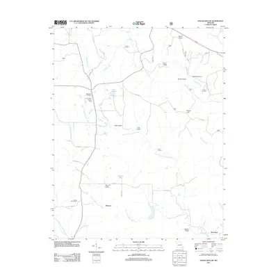 2011 Hogan Hollow2011 Print · USGSRipley County is captured in the early twenty-first century, showing a landscape defined by deep hollows and creek prongs. Genealogists can locate several family burial sites like Margaret Trainor Cemetery and landmarks such as Grandin Lookout Tower and Budapest.
 - 2011 Map of Hanleyville, 2011 Print
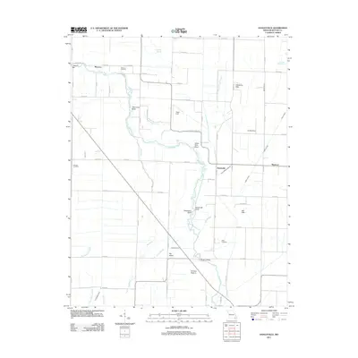 2011 Hanleyville2011 Print · USGSButler County, Missouri, at the start of the 2010s reveals a rural landscape shaped by the Black River and its many winding bends. Researchers can trace family sites near Morocco, locate Ashcraft Cemetery, and follow old drainage routes like Snyder Ditch.
 - 2011 Map of Poplar Bluff, 2011 Print
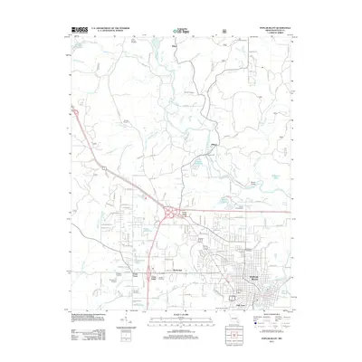 2011 Poplar Bluff2011 Print · USGSPoplar Bluff and the surrounding Butler County bottomlands are captured here in the early twenty-first century as the city expands along the Black River. Genealogists can locate several family and community burial grounds, from Oak Hill Cemetery to the Hudgens Cemetery, while following historic river crossings at Shipman Ford.
 - 2011 Map of Vastus, 2011 Print
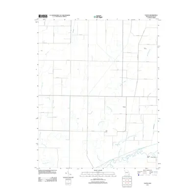 2011 Vastus2011 Print · USGSButler County's agricultural bottomlands are captured here in the early twenty-first century, showing a landscape shaped by the Black River and its drainage. Genealogists can locate Coon Island Cemetery and Hvam Cemetery near the settlements of Vastus and Walsh.
 - 2011 Map of Harviell, 2011 Print
 2011 Harviell2011 Print · USGSButler County south of Poplar Bluff is shown here in the early 21st century, detailing a landscape shaped by water management and rural settlements. Researchers can trace family history at Friendship Cemetery and Melton Cemetery or explore the neighborhoods of Kelly Town.
 - 2011 Map of Fairdealing, 2011 Print
 2011 Fairdealing2011 Print · USGSButler County as it appeared in the early 2010s reveals a rural landscape defined by the Little Black River and established family landholdings. Local historians can trace early community hubs like Fairdealing and find significant sites including Kremlin Mill and the Military Cemetery.
 - 2012 Map of Puxico, 2012 Print
 2012 Puxico2012 Print · USGSSoutheast Missouri at the start of the 2010s reveals a structured rural landscape centered on Puxico. Researchers can trace old family names at Clubb Cemetery and Rock Hill Cemetery or locate the historic Reece Post Office near the Saint Francis River.
 - 2014 Map of Pollard, 2014 Print
 2014 Pollard2014 Print · USGSClay County at the Missouri border reveals the sharp transition from the Mississippi embayment's drainage ditches to the rising ground of the ridge. Trace family history at Crockett Cem or Hardin Cem, and locate landmarks like Pollard and the Ark-Mo Airport.
 - 2014 Map of McDougal, 2014 Print
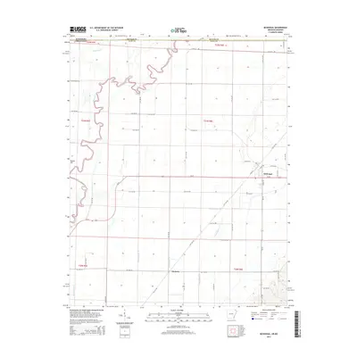 2014 McDougal2014 Print · USGSClay County at the Missouri border is captured here during a period of transition in its rural landscape. Genealogists and local historians can trace family land near McDougal, Hickoria, and the banks of the Black River.
Showing maps 1-25 of 69
Top cities of Butler County
Frequently asked questions
- What are the different types of historical maps available for Butler County?
- What is the oldest map of Butler County?
- Where can I purchase historical maps of Butler County for my home or office?
- Where can I download high-res historical maps of Butler County?
- Are there historical topographic maps available for Butler County?
- Is there historical aerial imagery available for Butler County?
- Where are historical maps of Butler County sourced from?