2000s (21st Century) Maps of Chariton County, Missouri
Explore 97 historic maps of Chariton County from the 2000s (21st Century). These maps offer a rare glimpse into what life looked like during the 2000s — showing old roads, neighborhoods, homes, and landmarks that have changed or disappeared over time.
Whether you're researching your family's past, planning a metal detecting trip, or studying how Chariton County's landscape evolved across the 2000s, these high-resolution maps are a powerful tool for exploring the history of this region.
- Focus on a specific era: All maps on this page are from the 2000s, giving you a focused view of this time period.
- See what’s changed: Compare century-old streets, trails, and buildings to today's modern landscape using overlays and satellite layers.
- Research with precision: Use these maps for genealogy, historical research, land use analysis, or educational projects.
- View, download, or print: Maps are fully viewable online in high resolution, and can be downloaded or printed for your own records.
Start exploring Chariton County's history through authentic maps from the 2000s. This is your window into the past.
Chariton County, MO maps
(97)- 2012 Map of Sumner, 2012 Print
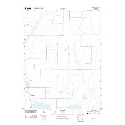 2012 Sumner2012 Print · USGSCovers Chariton County, including Cunningham, Sumner, and other nearby areas
 - 2012 Map of Rothville, 2012 Print
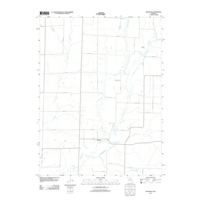 2012 Rothville2012 Print · USGSCovers Chariton County, including Rothville, Linn County, and other nearby areas
 - 2012 Map of Brunswick East, 2012 Print
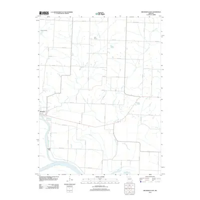 2012 Brunswick East2012 Print · USGSCovers Chariton County, including Brunswick, Grand Port, and other nearby areas
 - 2012 Map of New Frankfort, 2012 Print
 2012 New Frankfort2012 Print · USGSCovers Chariton County, including New Frankfort, Saline County, and other nearby areas
 - 2012 Map of Hale, 2012 Print
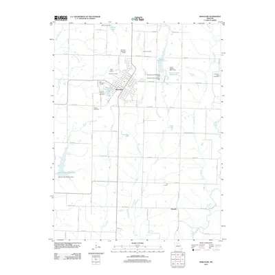
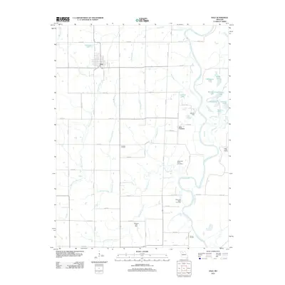 2012 Hale2012 Print · USGSCovers Chariton County, including Hale, Little Compton, and other nearby areas
 - 2012 Map of Brunswick West, 2012 Print
 2012 Brunswick West2012 Print · USGSCovers Chariton County, including Brunswick, De Witt, and other nearby areas
 - 2012 Map of Mendon, 2012 Print
 2012 Mendon2012 Print · USGSCovers Chariton County, including Mendon, Triplett, and other nearby areas
 - 2012 Map of Bosworth, 2012 Print
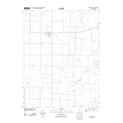 2012 Bosworth2012 Print · USGSCovers Chariton County, including Bosworth, Milford, and other nearby areas
 - 2012 Map of Indian Grove, 2012 Print
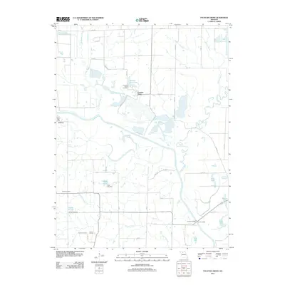
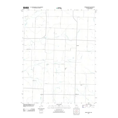 2012 Indian Grove2012 Print · USGSCovers Chariton County, including Newhall, Indian Grove, and other nearby areas
 - 2012 Map of Fountain Grove, 2012 Print
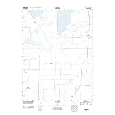
 2012 Fountain Grove2012 Print · USGSCovers Chariton County, including Fountain Grove, Bedford, and other nearby areas
 - 2012 Map of Armstrong, 2012 Print
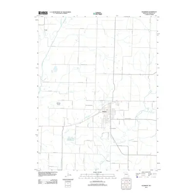
 2012 Armstrong2012 Print · USGSCovers Chariton County, including Armstrong, Roanoke, and other nearby areas
 - 2012 Map of Clifton Hill, 2012 Print
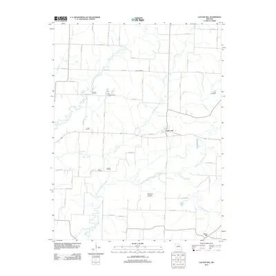 2012 Clifton Hill2012 Print · USGSCovers Chariton County, including Clifton Hill, Mount Airy, and other nearby areas
 - 2012 Map of Bynumville, 2012 Print
 2012 Bynumville2012 Print · USGSCovers Chariton County, including Hamden, Echo, and other nearby areas
 - 2012 Map of Saline City, 2012 Print
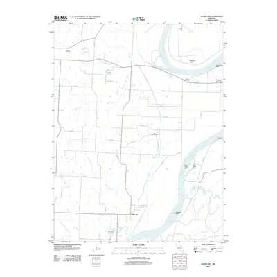 2012 Saline City2012 Print · USGSCovers Chariton County, including Gilliam, Saline City, and other nearby areas
 - 2012 Map of Salisbury, 2012 Print
 2012 Salisbury2012 Print · USGSCovers Chariton County, including Salisbury, Eccles, and other nearby areas
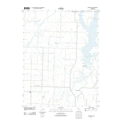
 - 2012 Map of Prairie Hill, 2012 Print
 2012 Prairie Hill2012 Print · USGSCovers Chariton County, including Hubbard, Prairie Hill, and other nearby areas
 - 2012 Map of Mike, 2012 Print
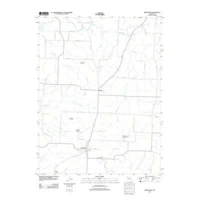
 2012 Mike2012 Print · USGSCovers Chariton County, including Guthridge, Musselfork, and other nearby areas
 - 2012 Map of Keytesville, 2012 Print
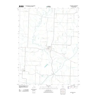 2012 Keytesville2012 Print · USGSCovers Chariton County, including Keytesville, Dalton, and other nearby areas
 - 2012 Map of Glasgow, 2012 Print
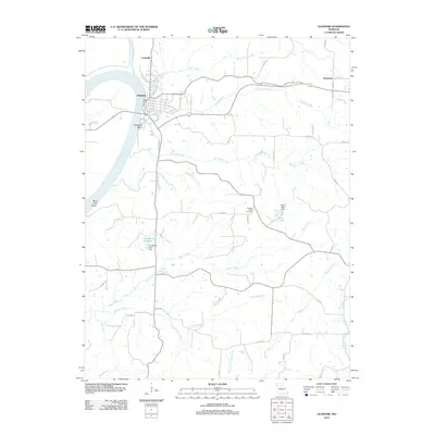 2012 Glasgow2012 Print · USGSCovers Chariton County, including Glasgow, Steinmetz, and other nearby areas
 - 2012 Map of Forest Green, 2012 Print
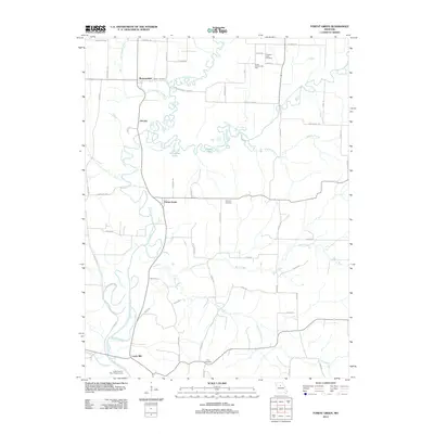 2012 Forest Green2012 Print · USGSCovers Chariton County, including Shannondale, Oil City, and other nearby areas
 - 2012 Map of Cambridge, 2012 Print
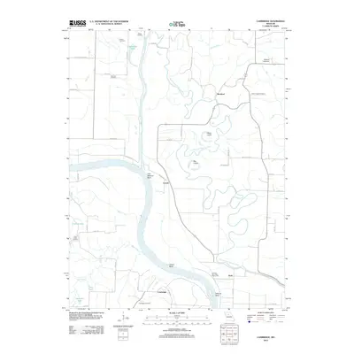 2012 Cambridge2012 Print · USGSCovers Chariton County, including Rockford, Cambridge, and other nearby areas
 - 2012 Map of Lagonda, 2012 Print
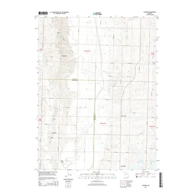
 2012 Lagonda2012 Print · USGSCovers Chariton County, including Barryville, Lagonda, and other nearby areas
 - 2012 Map of Marceline, 2012 Print
 2012 Marceline2012 Print · USGSCovers Chariton County, including Marceline, Westville, and other nearby areas
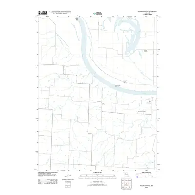
 - 2012 Map of Wien, 2012 Print
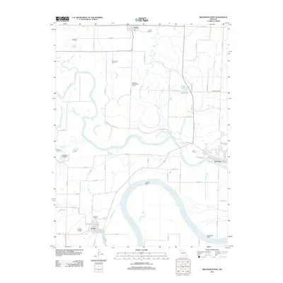
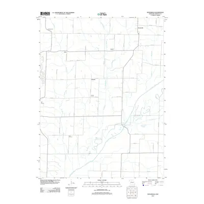
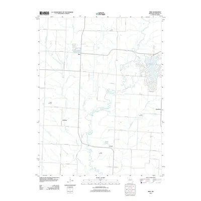
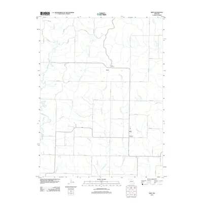 2012 Wien2012 Print · USGSCovers Chariton County, including Heuer, Wien, and other nearby areas
 - 2014 Map of Lagonda, 2014 Print
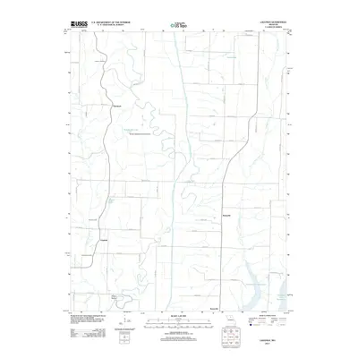
 2014 Lagonda2014 Print · USGSCovers Chariton County, including Barryville, Lagonda, and other nearby areas
Showing maps 1-25 of 97
Top cities of Chariton County
- Salisbury historical maps
- Brunswick historical maps
- Keytesville historical maps
- Cunningham historical maps
- Mendon historical maps
- Sumner historical maps
See more
Frequently asked questions
- What are the different types of historical maps available for Chariton County?
- What is the oldest map of Chariton County?
- Where can I purchase historical maps of Chariton County for my home or office?
- Where can I download high-res historical maps of Chariton County?
- Are there historical topographic maps available for Chariton County?
- Is there historical aerial imagery available for Chariton County?
- Where are historical maps of Chariton County sourced from?