2010s Maps of Chariton County, Missouri
Explore 72 historic maps of Chariton County from the 2010s. These maps offer a rare glimpse into what life looked like during the 2010s — showing old roads, neighborhoods, homes, and landmarks that have changed or disappeared over time.
Whether you're researching your family's past, planning a metal detecting trip, or studying how Chariton County's landscape evolved across the 2010s, these high-resolution maps are a powerful tool for exploring the history of this region.
- Focus on a specific era: All maps on this page are from the 2010s, giving you a focused view of this time period.
- See what’s changed: Compare century-old streets, trails, and buildings to today's modern landscape using overlays and satellite layers.
- Research with precision: Use these maps for genealogy, historical research, land use analysis, or educational projects.
- View, download, or print: Maps are fully viewable online in high resolution, and can be downloaded or printed for your own records.
Start exploring Chariton County's history through authentic maps from the 2010s. This is your window into the past.
Chariton County, MO maps
(72)- 2012 Map of Sumner, 2012 Print
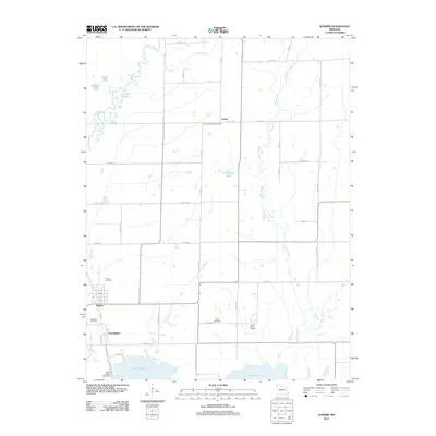 2012 Sumner2012 Print · USGSChariton County, Missouri, at the turn of the decade is defined by its vast wetlands and rural farmsteads. Researchers can trace family history at Purvis Cemetery, locate the historic Forker Boomer Post Office, or study the managed hydrology of the Swan Lake National Wildlife Ref.
 - 2012 Map of Rothville, 2012 Print
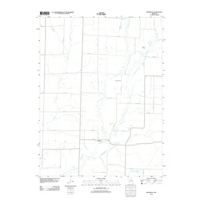 2012 Rothville2012 Print · USGSRothville and the rural reaches of Chariton County are documented here in the early twenty-first century, showing a landscape shaped by the forks of the Yellow Creek. Researchers can locate Stains Cemetery and Redding Cemetery or trace the winding course of Slater Branch.
 - 2012 Map of Brunswick East, 2012 Print
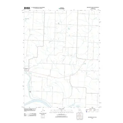 2012 Brunswick East2012 Print · USGSThe river bottoms of Chariton County are seen here during the early twenty-first century as the Grand River meets the Missouri River. Genealogists and local historians can trace family locations near Prairie Dell Cemetery or the historic river landings at Grand Port.
 - 2012 Map of New Frankfort, 2012 Print
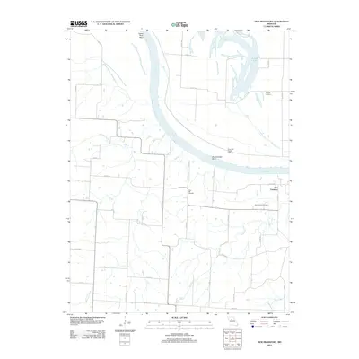 2012 New Frankfort2012 Print · USGSThe Missouri River dominates the landscape near New Frankfort in the early twenty-first century. Genealogists can trace family connections at Sleyster Cemetery, High Hill Cemetery, and New Frankfort Cemetery along the river bends.
 - 2012 Map of Hale, 2012 Print
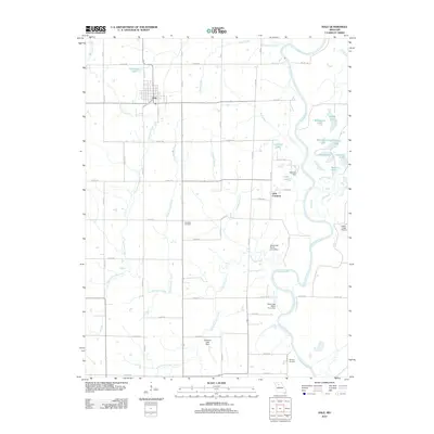 2012 Hale2012 Print · USGSCarroll County's agricultural landscape is seen here in the early twenty-first century, centered on the community of Hale. Genealogists can locate Elizabeth Cemetery and Winfrey Cemetery, while researchers trace the river valley near Little Compton and Eagle Lodge Airport.
 - 2012 Map of Brunswick West, 2012 Print
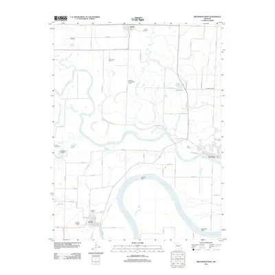 2012 Brunswick West2012 Print · USGSThe Missouri and Grand River floodplains define this 2012 survey, where small communities like De Witt and Triplett navigate a shifting landscape of sloughs and bends. Genealogists can trace family footprints through numerous burial sites including Evergreen Cemetery and McCullough Cemetery.
 - 2012 Map of Mendon, 2012 Print
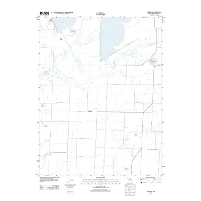 2012 Mendon2012 Print · USGSChariton County in the early twenty-first century is defined by the wetlands and water management of the Swan Lake National Wildlife Ref. Local researchers can trace family landmarks and rural communities including Mendon, Whitham, and the Stephenson Cemetery.
 - 2012 Map of Bosworth, 2012 Print
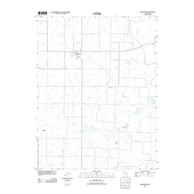 2012 Bosworth2012 Print · USGSThe agricultural lands of Carroll County are centered here around the town of Bosworth in the early twenty-first century. Genealogists and local historians can trace family locations near Union Cemetery, Pleasant Park Cemetery, or the water-carved banks of the Grand River.
 - 2012 Map of Indian Grove, 2012 Print
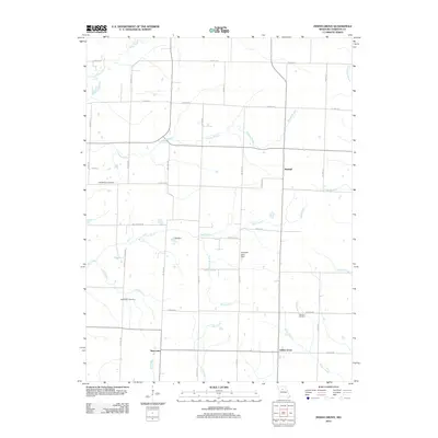 2012 Indian Grove2012 Print · USGSChariton County, Missouri, remains a landscape of quiet rural settlements and family-named landmarks in the early 2000s. Genealogists can trace local roots at the Old Mendon Cemetery and German Cemetery, or locate the crossroads of Indian Grove and Newcomer.
 - 2012 Map of Fountain Grove, 2012 Print
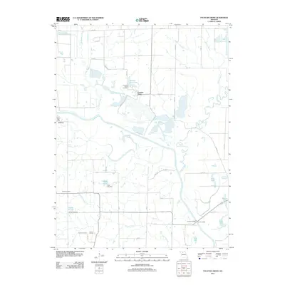 2012 Fountain Grove2012 Print · USGSThe Grand River valley in Linn County is captured here in the early 21st century, showing a landscape shaped by river bends and rural settlements. Researchers can locate the Bedford Post Office, trace family roots at Fairland Cemetery, or explore the wetlands of Pershing State Park.
 - 2012 Map of Armstrong, 2012 Print
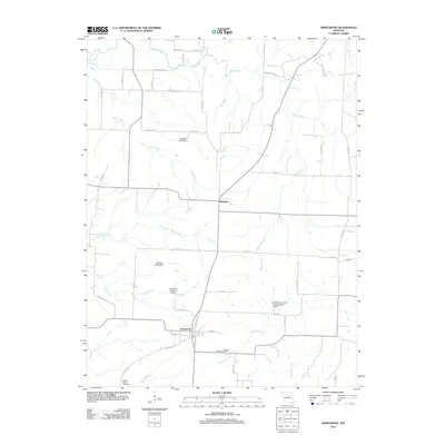 2012 Armstrong2012 Print · USGSHoward County's agricultural heartland is documented here in the early twenty-first century, centered on the communities of Armstrong and Roanoke. Researchers can trace local lineage and land use through the Wesley Chapel Cemetery and namesake landmarks like Stroupe Lake Dam.
 - 2012 Map of Clifton Hill, 2012 Print
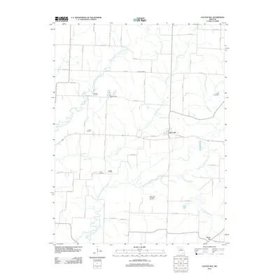 2012 Clifton Hill2012 Print · USGSRandolph County's rural heartland is captured here in the early twenty-first century, centered on the settlement of Clifton Hill. Genealogists and historians can trace family locations through several historic grounds, including Gross Cemetery and Finnell Cemetery.
 - 2012 Map of Bynumville, 2012 Print
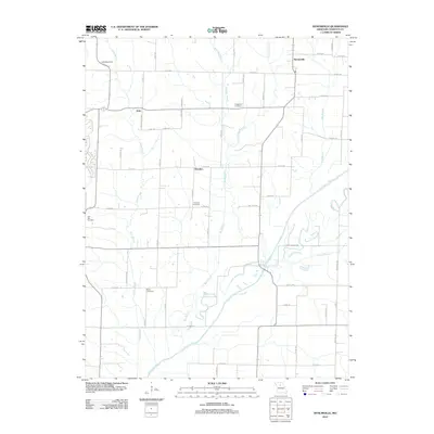 2012 Bynumville2012 Print · USGSNorth-central Missouri's river bottoms and rural uplands are captured here in the early twenty-first century. Researchers can trace the legacy of local families through Fitzgerald Cemetery and Parks Cemetery, or locate old homesteads near Hamden and Echo.
 - 2012 Map of Saline City, 2012 Print
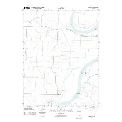 2012 Saline City2012 Print · USGSThe Missouri River bottoms and the bluffs near Gilliam are captured here during the early twenty-first century. Genealogists and local historians can trace legacy land markers like Sappington Cemetery, Saline City, and the winding path of Chocolate Creek.
 - 2012 Map of Salisbury, 2012 Print
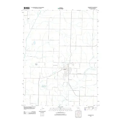 2012 Salisbury2012 Print · USGSSalisbury and the surrounding Chariton County plains are captured here in the early twenty-first century, showcasing a landscape defined by meandering river forks. Researchers can locate local landmarks like Sterling Price Lake, the settlement of Eccles, and several historic burial grounds including Immanuel Cemetery.
 - 2012 Map of Prairie Hill, 2012 Print
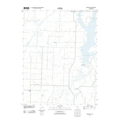 2012 Prairie Hill2012 Print · USGSRandolph County's rural landscape is captured here in the early twenty-first century, centered on the sprawling waters of the Thomas Hill Reservoir. Researchers can locate legacy family landmarks such as Fawks Cemetery and the Kaseyville Post Office among the river forks.
 - 2012 Map of Mike, 2012 Print
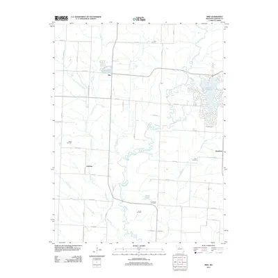 2012 Mike2012 Print · USGSThe rural stretches of Chariton County are shown here in the early twenty-first century, balancing traditional homesteads with lakeside development. Genealogists can trace family roots through landmarks like Lock Cemetery or the Chraneville Post Office.
 - 2012 Map of Keytesville, 2012 Print
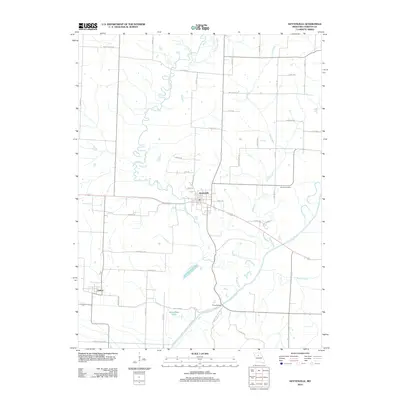 2012 Keytesville2012 Print · USGSChariton County's river-bottom geography is meticulously detailed here during the early twenty-first century. Genealogists and local historians can trace family land proximity to Keytesville, find the Varner Cemetery, or locate the historic Price Bridge crossing.
 - 2012 Map of Glasgow, 2012 Print
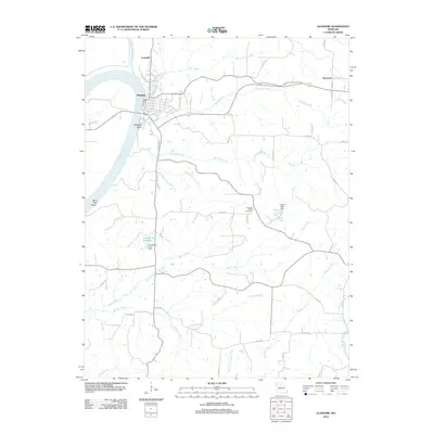 2012 Glasgow2012 Print · USGSGlasgow and the Missouri River bottoms are shown in detail here during the early twenty-first century. Researchers can trace land tracts near Pleasant Green Cemetery, explore the rural crossroads of Steinmetz, or follow the banks of the Little Chariton River.
 - 2012 Map of Forest Green, 2012 Print
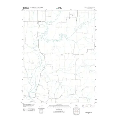 2012 Forest Green2012 Print · USGSChariton County, Missouri, is shown here as a landscape of river bends and small crossroads communities in the early 2010s. Researchers can pinpoint old family burial grounds like Price Cemetery and rural landmarks including Hurst Community Hall and Lewis Mill.
 - 2012 Map of Cambridge, 2012 Print
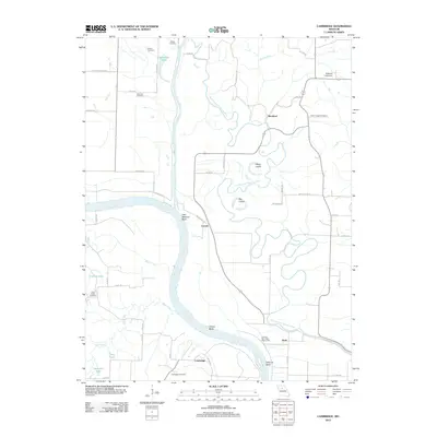 2012 Cambridge2012 Print · USGSThe Missouri River bottoms in Chariton County appear in this 2012 survey during a period of managed floodplain agricultural life. Researchers can trace the shifting river course at Gilliam Bend and locate family burial sites like Porter Chapel Cemetery and Henning Cemetery.
 - 2012 Map of Lagonda, 2012 Print
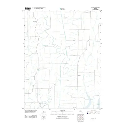 2012 Lagonda2012 Print · USGSMacon County's rural landscape is captured here in the early twenty-first century, centered on the winding Chariton River. Researchers can trace family roots at Dodson Cemetery or explore the growth of communities like Lagonda, Barryville, and Sleepy Hollow.
 - 2012 Map of Marceline, 2012 Print
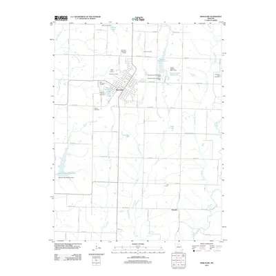 2012 Marceline2012 Print · USGSMarceline and the surrounding Linn County countryside appear here in the early twenty-first century, showing a community built around its water resources and local institutions. Researchers can trace family plots at Elmwood Cemetery or explore the rural environs of Westville and New Marceline City Lake.
 - 2012 Map of Wien, 2012 Print
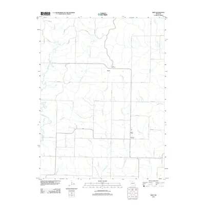 2012 Wien2012 Print · USGSMacon County's rural landscape is captured here in the early twenty-first century, centered on the small community of Wien. Researchers can trace local genealogy and land use through landmarks like Saint Marys Cemetery, Heuer, and the winding banks of Mussel Fork.
 - 2014 Map of Lagonda, 2014 Print
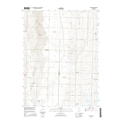 2014 Lagonda2014 Print · USGSThe Chariton River and its tributaries define the boundary between Macon and Chariton counties in this modern survey. Researchers can trace rural settlement patterns and local genealogy through sites like Johnson Cemetery, the hamlet of Lagonda, and Swan Lake.
Showing maps 1-25 of 72
Top cities of Chariton County
- Salisbury historical maps
- Brunswick historical maps
- Keytesville historical maps
- Cunningham historical maps
- Mendon historical maps
- Sumner historical maps
See more
Frequently asked questions
- What are the different types of historical maps available for Chariton County?
- What is the oldest map of Chariton County?
- Where can I purchase historical maps of Chariton County for my home or office?
- Where can I download high-res historical maps of Chariton County?
- Are there historical topographic maps available for Chariton County?
- Is there historical aerial imagery available for Chariton County?
- Where are historical maps of Chariton County sourced from?