2000s (21st Century) Maps of Dallas County, Missouri
Explore 80 historic maps of Dallas County from the 2000s (21st Century). These maps offer a rare glimpse into what life looked like during the 2000s — showing old roads, neighborhoods, homes, and landmarks that have changed or disappeared over time.
Whether you're researching your family's past, planning a metal detecting trip, or studying how Dallas County's landscape evolved across the 2000s, these high-resolution maps are a powerful tool for exploring the history of this region.
- Focus on a specific era: All maps on this page are from the 2000s, giving you a focused view of this time period.
- See what’s changed: Compare century-old streets, trails, and buildings to today's modern landscape using overlays and satellite layers.
- Research with precision: Use these maps for genealogy, historical research, land use analysis, or educational projects.
- View, download, or print: Maps are fully viewable online in high resolution, and can be downloaded or printed for your own records.
Start exploring Dallas County's history through authentic maps from the 2000s. This is your window into the past.
Dallas County, MO maps
(80)- 2011 Map of Halfway, 2011 Print
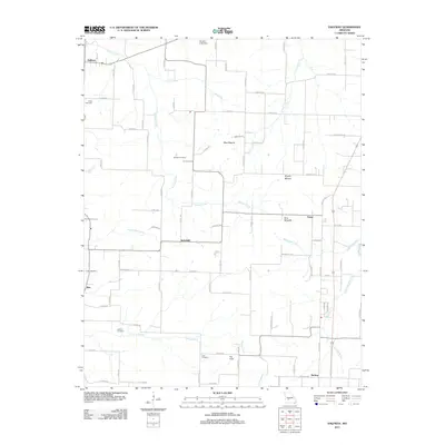 2011 Halfway2011 Print · USGSPolk County at the start of the 2010s remains a landscape of quiet crossroads and historic family burial grounds. Researchers can trace local lineages through Ankrom Cemetery and Gorden Cemetery or locate the small centers of Schofield and Redtop.
 - 2011 Map of Buffalo, 2011 Print
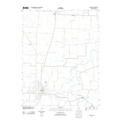 2011 Buffalo2011 Print · USGSBuffalo and its surrounding Dallas County countryside are detailed here during the early twenty-first century. Researchers can trace the path of the Niangua River, locate the Watermill Bridge, and explore small communities like Pumpkin Center and Cloverdale.
 - 2011 Map of Urbana, 2011 Print
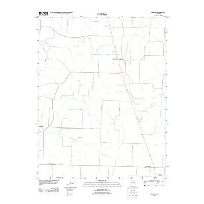 2011 Urbana2011 Print · USGSInland Dallas County comes into focus in the early 2010s, showing a landscape defined by small farming communities and numerous creek branches. Genealogists and historians can trace family locations near Urbana and Louisburg or locate the Cunnington Cemetery.
 - 2011 Map of Tunas, 2011 Print
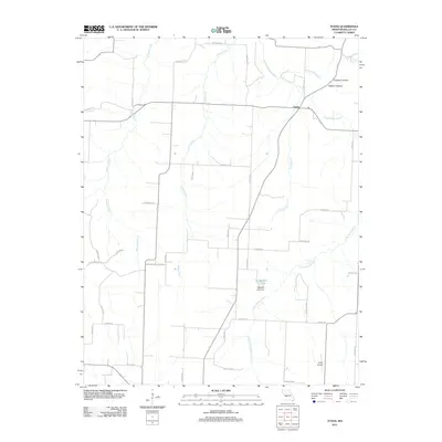 2011 Tunas2011 Print · USGSThe village of Tunas and its surrounding river valleys are captured here in the early twenty-first century. Researchers can trace the network of county roads and water features like the Little Niangua River, Garys Airport, and the waters of Maddux Lake.
 - 2011 Map of Branch, 2011 Print
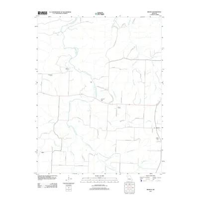 2011 Branch2011 Print · USGSHickory County's rural landscape is documented here in the early twenty-first century, centered on the Little Niangua River and local crossroads. Researchers can trace family history at the Stanton Cemetery or locate old industrial sites like Parks Mill and Branch.
 - 2011 Map of Preston, 2011 Print
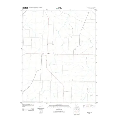 2011 Preston2011 Print · USGSPreston and the rural reaches of Hickory County are captured here during the early twenty-first century. Researchers can locate family landmarks like Fisher Cemetery and trace the winding paths of Starks Creek and Cahoochie Creek through the countryside.
 - 2011 Map of Buffalo NW, 2011 Print
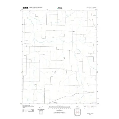 2011 Buffalo NW2011 Print · USGSPolk County at the turn of the decade reveals a rural Missouri landscape defined by traditional family settlements and winding waterways. Genealogists and local historians can locate Breshears Cemetery, the small community of Mathis, and Little Lindley Creek.
 - 2011 Map of Fair Grove, 2011 Print
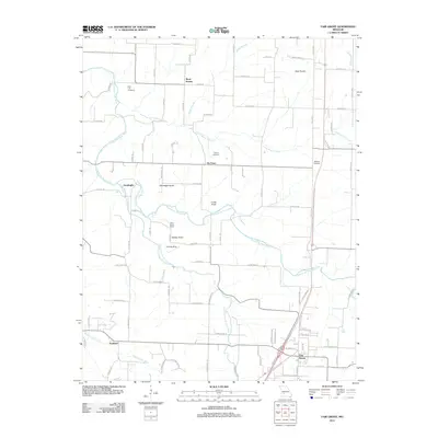 2011 Fair Grove2011 Print · USGSFair Grove and the surrounding Greene County countryside are documented here at the start of the 2010s. Genealogists and local historians can locate Union Grove School, several rural burial grounds like Mallard Cemetery, and small communities including Tin Town.
 - 2011 Map of Charity, 2011 Print
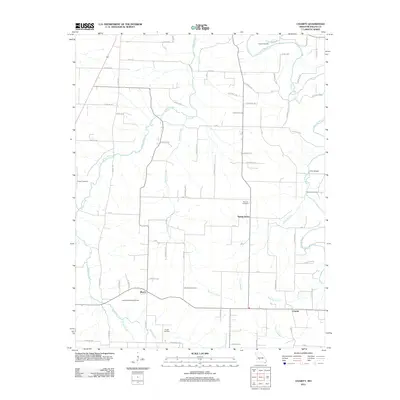 2011 Charity2011 Print · USGSDallas County at the start of the twenty-first century reveals a resilient rural landscape defined by the Niangua River and quiet crossroads like March. Genealogists can trace local roots through several family burial grounds, including Wollard Cemetery and Fraker Cemetery.
 - 2011 Map of Elkland, 2011 Print
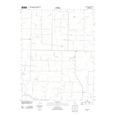 2011 Elkland2011 Print · USGSElkland and its Dallas County neighbors appear here in the early twenty-first century, showing a landscape of Ozark foothills and rural farmsteads. Trace family history at Old Pleasant View Cemetery or locate the headwaters of the Pomme de Terre River near Mutton Hollow.
 - 2011 Map of Windyville, 2011 Print
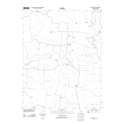 2011 Windyville2011 Print · USGSWindyville and the surrounding Missouri countryside are documented here in the early twenty-first century along the winding Niangua River. Researchers can trace local genealogy through sites like Scrivner Cemetery or locate landmarks such as Schoolhouse Hollow and Tilden.
 - 2011 Map of Phillipsburg, 2011 Print
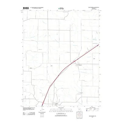 2011 Phillipsburg2011 Print · USGSPhillipsburg and the Conway area in the early twenty-first century show a landscape defined by transit corridors and family history. Researchers can trace rural lineages through sites like Rocky Knob Cemetery, Shanks Cemetery, and the quiet drainage of Dousinbury Creek.
 - 2011 Map of Beach, 2011 Print
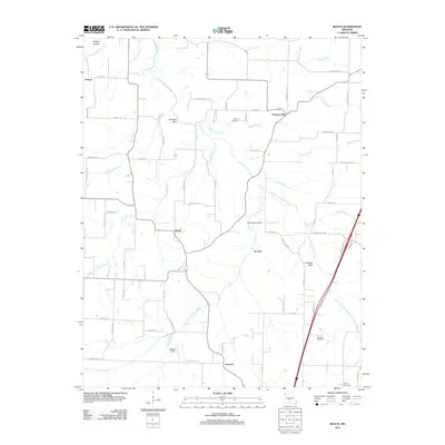 2011 Beach2011 Print · USGSWebster County near the turn of the decade remains a landscape of river bluffs and rural crossroads. Genealogists and local historians can trace family ties at Marlin Cemetery or McElwain Cemetery and locate early settlements like Forkners Hill and Beach.
 - 2011 Map of Hahatonka, 2011 Print
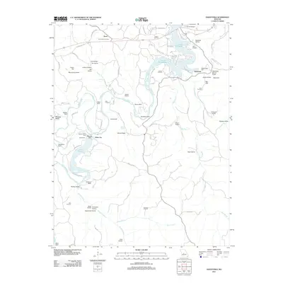 2011 Hahatonka2011 Print · USGSThe Missouri Ozarks are showcased here as the river-and-lake system evolved after the mid-century. Genealogists can trace family names across Union Electric and Lodge Cemetery, while exploring landmarks like the Hahatonka Natural Bridge and Tunnel Dam.
 - 2011 Map of Macks Creek, 2011 Print
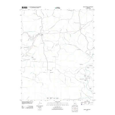 2011 Macks Creek2011 Print · USGSThe rural landscape of Camden County in the early 2010s is revealed here, where the settlement of Macks Creek meets the rugged breaks of the Niangua River. Researchers can trace local history at Wiley Gott Cemetery and the uniquely named hamlet of Only.
 - 2011 Map of Niangua, 2011 Print
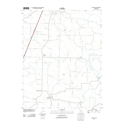 2011 Niangua2011 Print · USGSNiangua and the surrounding Missouri countryside are captured here in the early twenty-first century, showing a landscape of scattered family farms and quiet crossroads. Researchers can trace local genealogy through several historic sites including Tindle Cemetery and the Osage Fork Gasconade River crossings.
 - 2011 Map of Long Lane, 2011 Print
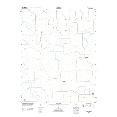 2011 Long Lane2011 Print · USGSDallas County in the early twenty-first century remains a landscape of quiet crossroads and winding river valleys. Researchers can trace family history through local landmarks like Wall Street and Hill Cemetery, or follow the Niangua River past Phillips Hollow.
 - 2012 Map of Leadmine, 2012 Print
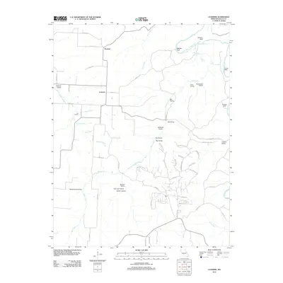 2012 Leadmine2012 Print · USGSThe Niangua River valley in Dallas County is shown here in the early twenty-first century, marked by a legacy of rural industry. Genealogists and historians can trace family sites at Kirk Cemetery or explore the origins of place names like Leadmine, Smelter Hollow, and Herrick Ford.
 - 2012 Map of Eldridge West, 2012 Print
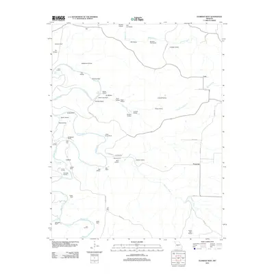 2012 Eldridge West2012 Print · USGSLaclede County in the early 2010s reveals a landscape of winding river bluffs and quiet crossroads settlements. Genealogists can locate several family burial sites including Keith Cemetery and Ballard Cemetery, or find the historic site of the Laird Post Office.
 - 2012 Map of Bennett Springs, 2012 Print
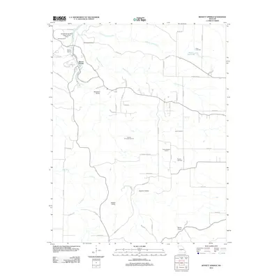 2012 Bennett Springs2012 Print · USGSLaclede County at the start of the 2010s centers on the famous spring-fed waters of the Niangua River and its many tributary hollows. Genealogists and hikers can trace the geography of the Bennett Spring State Public Access Area or locate family sites like Lowery Cemetery and the Bennett Spring Natural Tunnel.
 - 2015 Map of Leadmine, 2015 Print
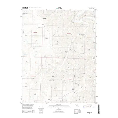 2015 Leadmine2015 Print · USGSMissouri's northern Dallas County hills are meticulously detailed in this recent survey, showing the landscape around the Niangua River and Little Niangua River. Researchers can trace the legacy of local industry and community through sites like Leadmine, Smelter Hollow, and Kirk Cemetery.
 - 2015 Map of Branch, 2015 Print
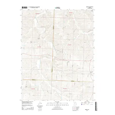 2015 Branch2015 Print · USGSHickory and Camden Counties remain deeply rural in this contemporary record of the central Missouri Ozarks. Researchers can trace family ties through Little Niangua Cemetery and local landmarks like Almon, Elixer, and Stanton Cemetery.
 - 2015 Map of Elkland, 2015 Print
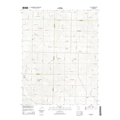 2015 Elkland2015 Print · USGSThe rural borderlands of Dallas, Webster, and Greene counties are detailed here during the early twenty-first century. Family history researchers can locate numerous burial grounds like Old Pleasant View Cemetery and trace landmarks near Olive or the Pomme de Terre River.
 - 2015 Map of Niangua, 2015 Print
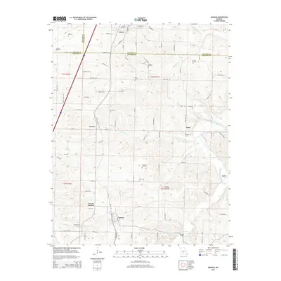 2015 Niangua2015 Print · USGSThe Missouri Ozarks borderlands near Conway and Niangua are captured here along the Frisco railroad line. Family historians can trace numerous rural burial sites like Letterman Cemetery and Tindle Cemetery or locate old crossings at Hamilton Bridge.
 - 2015 Map of Preston, 2015 Print
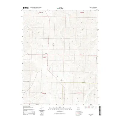 2015 Preston2015 Print · USGSPreston and the surrounding borderlands of Hickory and Dallas counties are captured here in the mid-2010s. Genealogists and local historians can trace family locations near Fisher Cemetery, Olive Point Cemetery, and the banks of Starks Cr.
Showing maps 1-25 of 80
Top cities of Dallas County
Frequently asked questions
- What are the different types of historical maps available for Dallas County?
- What is the oldest map of Dallas County?
- Where can I purchase historical maps of Dallas County for my home or office?
- Where can I download high-res historical maps of Dallas County?
- Are there historical topographic maps available for Dallas County?
- Is there historical aerial imagery available for Dallas County?
- Where are historical maps of Dallas County sourced from?