2000s (21st Century) Maps of Henry County, Missouri
Explore 80 historic maps of Henry County from the 2000s (21st Century). These maps offer a rare glimpse into what life looked like during the 2000s — showing old roads, neighborhoods, homes, and landmarks that have changed or disappeared over time.
Whether you're researching your family's past, planning a metal detecting trip, or studying how Henry County's landscape evolved across the 2000s, these high-resolution maps are a powerful tool for exploring the history of this region.
- Focus on a specific era: All maps on this page are from the 2000s, giving you a focused view of this time period.
- See what’s changed: Compare century-old streets, trails, and buildings to today's modern landscape using overlays and satellite layers.
- Research with precision: Use these maps for genealogy, historical research, land use analysis, or educational projects.
- View, download, or print: Maps are fully viewable online in high resolution, and can be downloaded or printed for your own records.
Start exploring Henry County's history through authentic maps from the 2000s. This is your window into the past.
Henry County, MO maps
(80)- 2011 Map of Montrose, 2011 Print
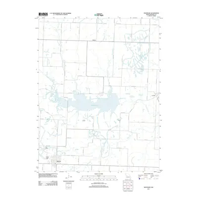 2011 Montrose2011 Print · USGSHenry County is captured here in the early twenty-first century, centered on the significant waters of Montrose Lake. Researchers can trace local heritage through sites like Vickers Cemetery, the streets of Montrose, and the Calhoun Landing Strip.
 - 2011 Map of Blairstown, 2011 Print
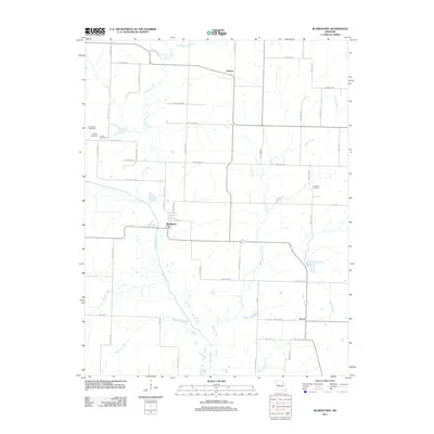 2011 Blairstown2011 Print · USGSWestern Missouri farmland and small-town life are documented here at the start of the 2010s. Genealogists and local historians can trace family roots through numerous burial sites like Quick Cemetery and Carpenter Cemetery or follow the paths of Big Creek.
 - 2011 Map of Calhoun West, 2011 Print
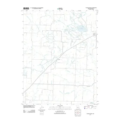 2011 Calhoun West2011 Print · USGSHenry County's rural landscape is mapped here in the early twenty-first century, centered on the drainage of the West Fork Tebo Creek. Genealogists and local historians can trace family locations near Calhoun, Lewis, and the Combs Cemetery.
 - 2011 Map of Windsor, 2011 Print
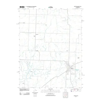 2011 Windsor2011 Print · USGSThe rural landscape around Windsor is shown in detail during the early twenty-first century. Genealogists and local historians can trace family roots at numerous burial sites like Laurel Oak Cemetery and Woodard Cemetery or locate the old settlements of Bowen and Sutherland.
 - 2011 Map of Chilhowee, 2011 Print
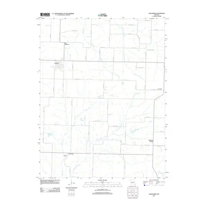 2011 Chilhowee2011 Print · USGSAgricultural lands in Johnson County are captured here just after the millennium, showing a landscape defined by small communities and rural cemeteries. Genealogists can trace family connections near Old Chilhowee, Providence Cemetery, and the settlement of Petersburg.
 - 2011 Map of Leesville, 2011 Print
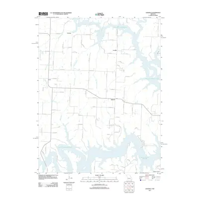 2011 Leesville2011 Print · USGSIn this early 21st-century Missouri landscape, the sprawling backwaters of the Harry S Truman Reservoir shape the local geography. Researchers can find small rural communities like Leesville, Tightwad, and Coal, alongside numerous family-named roads and named tributaries.
 - 2011 Map of Monegaw Springs NW, 2011 Print
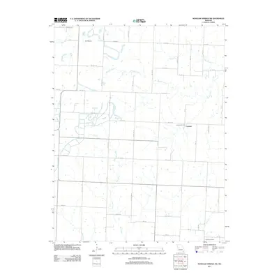 2011 Monegaw Springs NW2011 Print · USGSThe rural landscape of St. Clair County is shown in detail during the early 21st century, centered on the Copeland community. Family historians can trace local landmarks like Harmony Cemetery and the Copeland Post Office, alongside terrain features such as The Mound.
 - 2011 Map of Ohio, 2011 Print
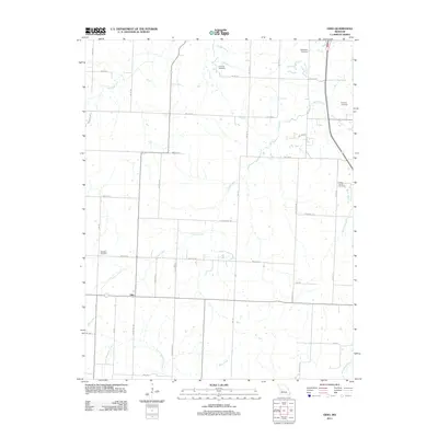 2011 Ohio2011 Print · USGSIn this corner of St. Clair County during the early twenty-first century, the crossroads settlement of Ohio anchors a landscape of family farms and creek valleys. Genealogists can locate several local burial sites, including Deepwater Cemetery, Valley Center Cemetery, and Dunning Cemetery.
 - 2011 Map of Gaines, 2011 Print
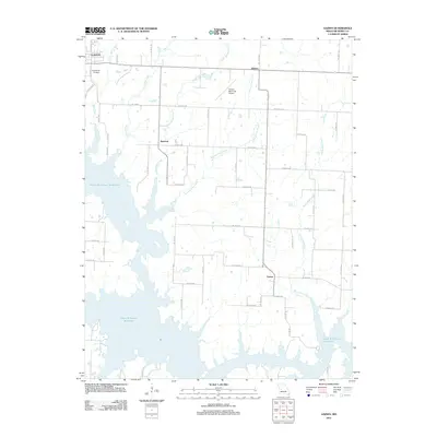 2011 Gaines2011 Print · USGSHenry County is captured in the early twenty-first century as the Harry S Truman Reservoir defines the local geography. Researchers can trace rural landmarks and family plots at Englewood Cemetery or locate the small settlements of Sparrow and Gaines.
 - 2011 Map of Lowry City, 2011 Print
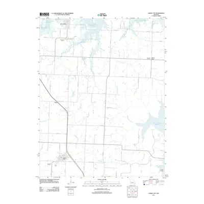 2011 Lowry City2011 Print · USGSThe community of Lowry City and the northern reaches of the Harry S Truman Reservoir define this western Missouri landscape in 2011. Genealogists can locate several historic burial grounds, including Maplewood Cemetery and Mount Zion Cemetery, while tracing the rural routes near Chloe and Brownington.
 - 2011 Map of Clinton North, 2011 Print
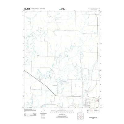 2011 Clinton North2011 Print · USGSThe outskirts of Clinton and the northern Missouri countryside are captured here in the early twenty-first century. Genealogists and local historians can trace rural family roots at Paul Cemetery or Fields Creek Cemetery and explore old centers like Huntingdale.
 - 2011 Map of Clinton South, 2011 Print
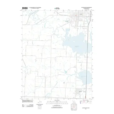 2011 Clinton South2011 Print · USGSThe Henry County landscape around the southern outskirts of Clinton and the town of Deepwater is shown here during the early twenty-first century. Researchers can trace family history at Dunning Cemetery or follow the intricate shoreline of the Harry S Truman Reservoir.
 - 2011 Map of Ninnescah Park, 2011 Print
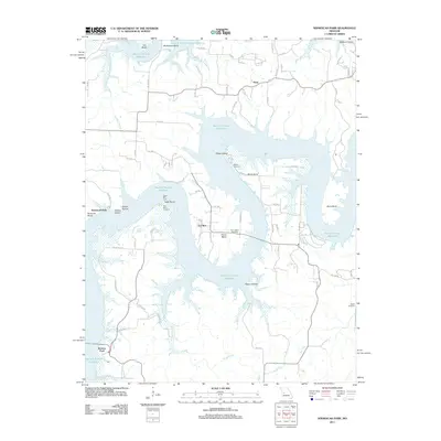 2011 Ninnescah Park2011 Print · USGSHenry County is shown here during the early twenty-first century as the waters of the Harry S Truman Reservoir snake through the Western Ozarks. Genealogists can locate family landmarks such as Tally Bend Cemetery, Harris Bend, and the community of Finey.
 - 2011 Map of Leeton, 2011 Print
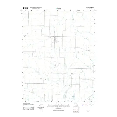 2011 Leeton2011 Print · USGSThis Johnson County landscape near Leeton illustrates the dense rural settlement patterns of central Missouri in the early twenty-first century. Genealogists can trace family history through numerous local burial sites like Wade Cemetery, Sardis Cemetery, and Avery Cemetery.
 - 2011 Map of Calhoun East, 2011 Print
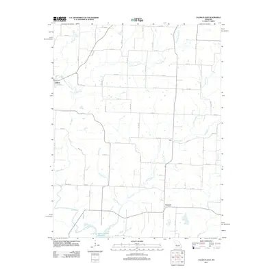 2011 Calhoun East2011 Print · USGSHenry County in the early twenty-first century remains a landscape of agricultural tradition and river-fed valleys. Researchers can trace rural settlement patterns near Calhoun and find the upper reaches of the Harry S Truman Reservoir and Middle Fork Tebo Creek.
 - 2011 Map of Hartwell, 2011 Print
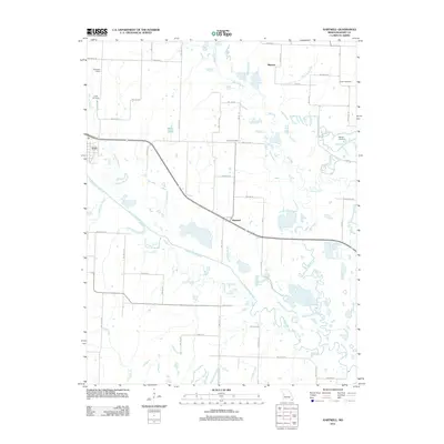 2011 Hartwell2011 Print · USGSHenry County agricultural life at the start of the decade is centered on the river valleys of the South Grand River and Big Creek. Researchers can locate historic landmarks like the Enterprise School and trace family roots through the Urich Cemetery and Salem Cemetery.
 - 2011 Map of Creighton, 2011 Print
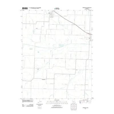 2011 Creighton2011 Print · USGSHenry County farmland and river bottoms are documented here in the early 21st century. Genealogists and local historians can trace family ties through Parker Cemetery, Fewel Cemetery, and the small communities of Creighton and Lucas.
 - 2011 Map of Quick City, 2011 Print
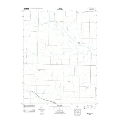 2011 Quick City2011 Print · USGSQuick City and the surrounding Missouri countryside are captured here in the early twenty-first century as a landscape of rural roads and winding creeks. Genealogists can locate several local burial grounds, such as Pemberton and Grant Cemetery, alongside the distinctive Old Channel Big Creek.
 - 2011 Map of Appleton City, 2011 Print
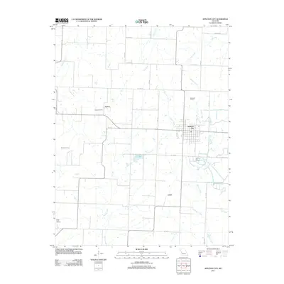 2011 Appleton City2011 Print · USGSAppleton City and the surrounding St. Clair County countryside are detailed here during the early twenty-first century. Family historians can trace rural burial sites like Blackwell Cemetery and Round Prairie Cemetery or locate the Hudson Post Office near the village of Hudson.
 - 2011 Map of Johnstown, 2011 Print
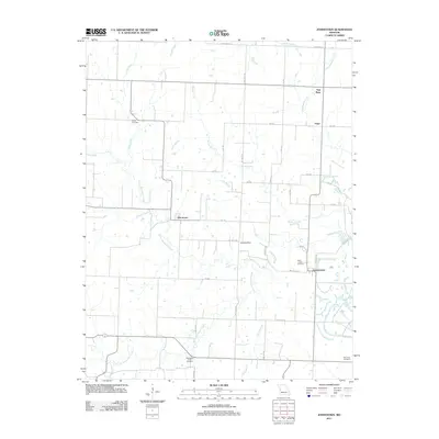 2011 Johnstown2011 Print · USGSThe rural countryside of Henry County comes into focus here in the early 2010s, centered on the historic settlements of Johnstown and Germantown. Researchers can trace old family burial sites at Poage Cemetery and Snodgrass Union Cemetery or follow the winding Deepwater Creek.
 - 2014 Map of Leesville, 2014 Print
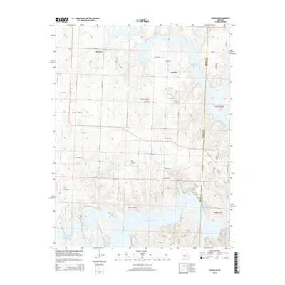 2014 Leesville2014 Print · USGSLeesville and the curiously named Tightwad are captured here in the early twenty-first century, as the landscape transitions toward the Harry S Truman Reservoir. Genealogists and local historians can locate family burial sites at Tebo Church Cemetery or trace the rural routes connecting Coal and Hortense.
 - 2014 Map of Creighton, 2014 Print
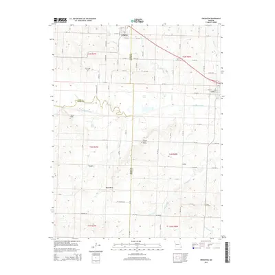 2014 Creighton2014 Print · USGSHenry and Cass counties are documented here in 2014, showing the rural Missouri landscape surrounding the South Grand River. Family historians can locate several rural burial grounds including Parker-Gregg Cemetery, Mullins Cemetery, and the community at Mayesburg.
 - 2014 Map of Blairstown, 2014 Print
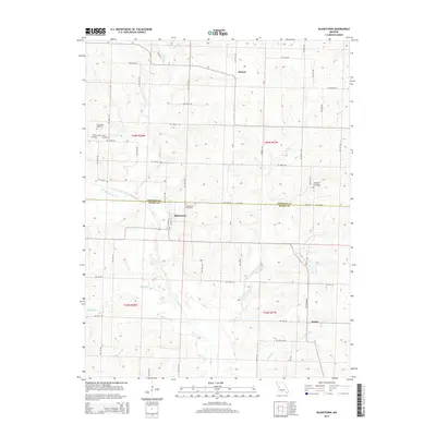 2014 Blairstown2014 Print · USGSThe Henry and Johnson County line comes alive in this modern survey of rural Missouri farm country. Genealogists can trace family roots through several local landmarks like Blairstown Cemetery, Carpenter Cemetery, and the community of Denton.
 - 2014 Map of Montrose, 2014 Print
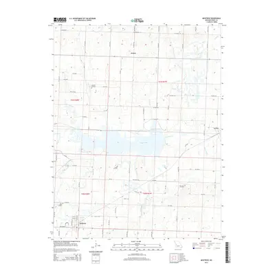 2014 Montrose2014 Print · USGSWestern Henry County is defined by the waters of Montrose Lake and the grid of Montrose in the early twenty-first century. Genealogists can locate several family and parish burial grounds, including Hopewell Cemetery, Saint Ludgers Cemetery, and Vickers Cemetery.
 - 2014 Map of Hartwell, 2014 Print
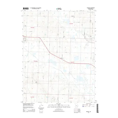 2014 Hartwell2014 Print · USGSWestern Henry County is mapped here in the early twenty-first century, showing the rural landscape around the South Grand River. Genealogists and local historians can trace family locations near Urich, Hartwell, and several sites like Hickory Grove Cemetery and Salem Cemetery.
Showing maps 1-25 of 80
Top cities of Henry County
- Clinton historical maps
- Windsor historical maps
- Leesville historical maps
- Urich historical maps
- Calhoun historical maps
- Deepwater historical maps
See more
Frequently asked questions
- What are the different types of historical maps available for Henry County?
- What is the oldest map of Henry County?
- Where can I purchase historical maps of Henry County for my home or office?
- Where can I download high-res historical maps of Henry County?
- Are there historical topographic maps available for Henry County?
- Is there historical aerial imagery available for Henry County?
- Where are historical maps of Henry County sourced from?