2000s (21st Century) Maps of Livingston County, Missouri
Explore 80 historic maps of Livingston County from the 2000s (21st Century). These maps offer a rare glimpse into what life looked like during the 2000s — showing old roads, neighborhoods, homes, and landmarks that have changed or disappeared over time.
Whether you're researching your family's past, planning a metal detecting trip, or studying how Livingston County's landscape evolved across the 2000s, these high-resolution maps are a powerful tool for exploring the history of this region.
- Focus on a specific era: All maps on this page are from the 2000s, giving you a focused view of this time period.
- See what’s changed: Compare century-old streets, trails, and buildings to today's modern landscape using overlays and satellite layers.
- Research with precision: Use these maps for genealogy, historical research, land use analysis, or educational projects.
- View, download, or print: Maps are fully viewable online in high resolution, and can be downloaded or printed for your own records.
Start exploring Livingston County's history through authentic maps from the 2000s. This is your window into the past.
Livingston County, MO maps
(80)- 2012 Map of Utica West, 2012 Print
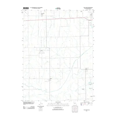 2012 Utica West2012 Print · USGSLivingston County's rural landscape is captured here in the early twenty-first century, showing the enduring agricultural character of the region. Researchers can locate family-named landmarks like Paul Jones Lake Dam and Johnson Lake Dam near the settlements of Ludlow and Dawn.
 - 2012 Map of Plymouth, 2012 Print
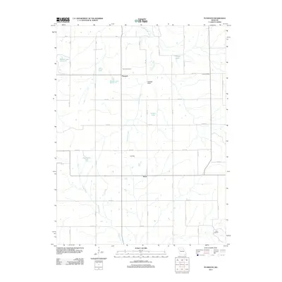 2012 Plymouth2012 Print · USGSThe rural landscape of Carroll County is documented here during the early 2010s, showing a well-established network of farm roads and drainage basins. Researchers can locate community anchors like Plymouth Cemetery, the Latoh Post Office, and the small settlement of Quote.
 - 2012 Map of Shearwood, 2012 Print
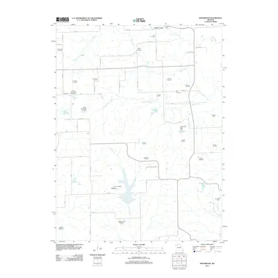 2012 Shearwood2012 Print · USGSMissouri's rural Grundy County landscape appears here in the early twenty-first century, characterized by scattered family farmsteads and small rural hubs. Researchers can locate several historic burial sites like Woldridge Cemetery and trace local landmarks such as the Genova Post Office or Cisco Post Office.
 - 2012 Map of Coloma, 2012 Print
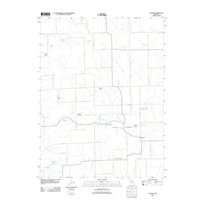 2012 Coloma2012 Print · USGSCarroll County’s rural character is well-preserved in this modern survey of the area around Coloma. Local historians can trace the locations of the Fisher Post Office, several family burial grounds like Braden Cemetery, and the distinct topography of Round Tater Hill.
 - 2012 Map of Utica East, 2012 Print
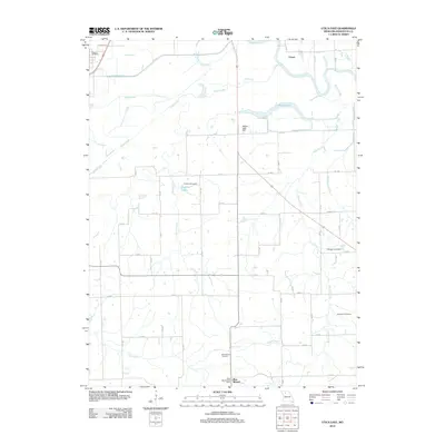 2012 Utica East2012 Print · USGSLivingston County's river valleys are captured here in the early 2010s, showcasing the rural landscape surrounding Utica and Blue Mound. Researchers can trace local lineage through Christian Cemetery or locate the Blue Mound Post Office near the winding Shoal Creek.
 - 2012 Map of Sampsel, 2012 Print
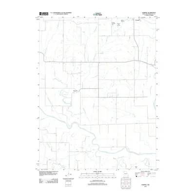 2012 Sampsel2012 Print · USGSLivingston County's river valleys are captured here in the early twenty-first century, centered on the Sampsel area and the winding Grand River. Genealogists can trace property lines and rural landmarks near Springhill, Shale Hill, and McVey Lake Dam.
 - 2012 Map of Hale, 2012 Print
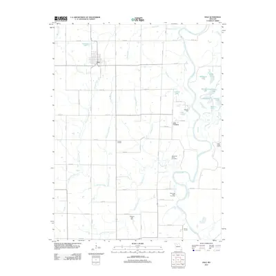 2012 Hale2012 Print · USGSCarroll County's agricultural landscape is seen here in the early twenty-first century, centered on the community of Hale. Genealogists can locate Elizabeth Cemetery and Winfrey Cemetery, while researchers trace the river valley near Little Compton and Eagle Lodge Airport.
 - 2012 Map of Tina, 2012 Print
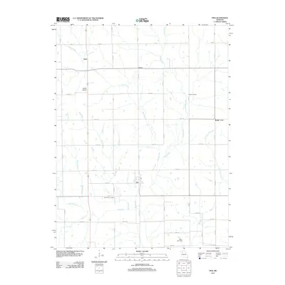 2012 Tina2012 Print · USGSThe Carroll County landscape around Tina is documented here during the early twenty-first century. Genealogists and researchers can locate family sites near Macklin Cemetery, trace the path of Mound Creek, or explore the rural surroundings of Asper and Grace.
 - 2012 Map of Wheeling, 2012 Print
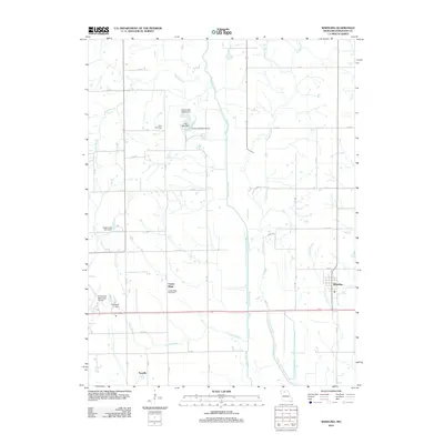 2012 Wheeling2012 Print · USGSWheeling and the surrounding Livingston County farmlands are captured in the early 21st century, showing a landscape defined by creek branches and rural post offices. Researchers can locate Ross Cemetery, the village of Norville, and the Cream Ridge Post Office.
 - 2012 Map of Jamesport, 2012 Print
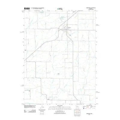 2012 Jamesport2012 Print · USGSJamesport and the fertile plains of Daviess County are captured here in the early twenty-first century as the region maintains its agricultural roots. Researchers can trace the layout of Jamesport, locate the Longwood Manufacturing Corp Airport, and follow the southern course of Hurricane Branch to the Grand River.
 - 2012 Map of Farmersville, 2012 Print
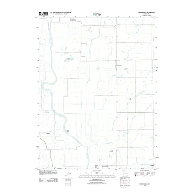 2012 Farmersville2012 Print · USGSFarmersville and the Livingston County countryside are captured here in the early 2010s. Researchers can locate family heritage sites like Tolle Cemetery and May Cemetery or trace the rural landscape near Silverleaf and Sturges.
 - 2012 Map of Chillicothe, 2012 Print
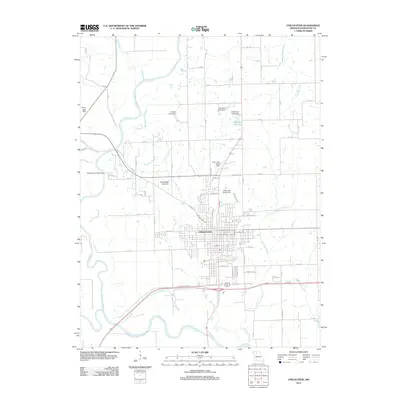 2012 Chillicothe2012 Print · USGSLivingston County's seat thrives at the meeting of the Grand River and Thompson River in this modern survey. Genealogists and historians can trace town streets and numerous named rural water works like Number 56 Lake and Thistlethwait Lake Dam.
 - 2012 Map of Breckenridge, 2012 Print
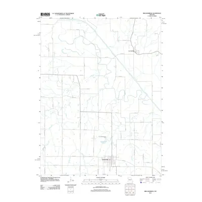 2012 Breckenridge2012 Print · USGSBreckenridge and its surrounding Missouri farmlands are shown here in the early twenty-first century, bounded by the winding Grand River. Genealogists and local historians can trace property boundaries along Lick Fork or locate the Breckenridge Reservoir and Lock Springs.
 - 2012 Map of Flat Creek, 2012 Print
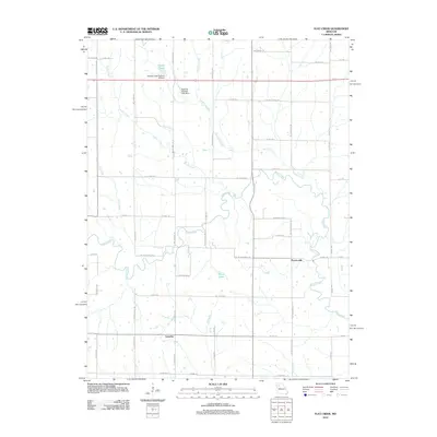 2012 Flat Creek2012 Print · USGSCaldwell County's rural landscape is captured here in the early twenty-first century, showing a region defined by its winding waterways and historic crossroads. Genealogists and local researchers can trace family lands near Proctorville, Catawba, and the banks of Shoal Creek.
 - 2012 Map of Meadville, 2012 Print
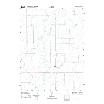 2012 Meadville2012 Print · USGSMeadville and the surrounding Linn County prairie are captured here in the early twenty-first century as a stable agricultural landscape. Genealogists can locate family landmarks like Botts Cemetery, Bethel Cemetery, and the long-standing Lowell Post Office.
 - 2012 Map of Eversonville, 2012 Print
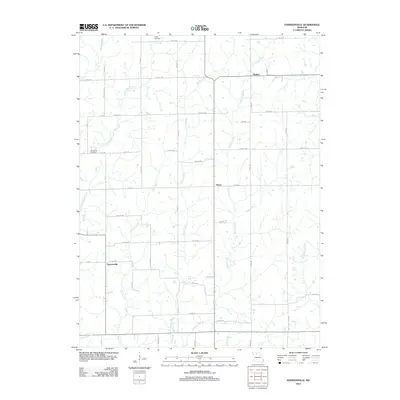 2012 Eversonville2012 Print · USGSLinn County agriculture and rural life are preserved in this early 21st-century survey of Missouri's rolling plains. Researchers can trace family history through local landmarks like Smith Cemetery, Van Horne Cemetery, and the small settlements of Shafter and Hecla.
 - 2012 Map of Avalon, 2012 Print
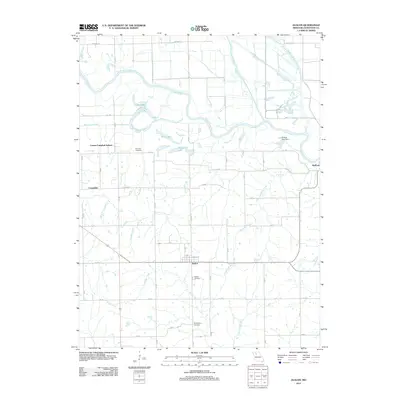 2012 Avalon2012 Print · USGSThe rural landscape of Livingston County is captured here in the early 21st century, centered on the village of Avalon. Genealogists and local historians can trace family roots through landmarks like the Corner Campbell School, Arkadelphia Cemetery, and Burnside Cemetery.
 - 2012 Map of Chula, 2012 Print
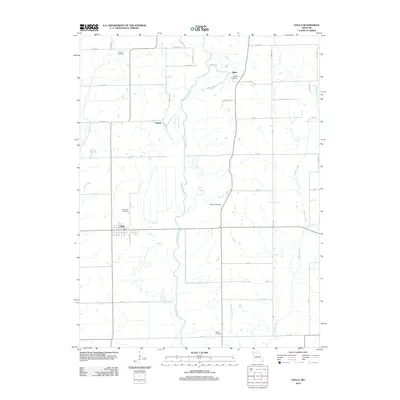 2012 Chula2012 Print · USGSNorth Missouri’s creek valleys and rural crossroads are preserved here as they appeared in the early twenty-first century. Researchers can trace local lineage through a high density of burial sites, including Stucker Cemetery, Alpha Cemetery, and Wallace Cemetery.
 - 2012 Map of Braymer, 2012 Print
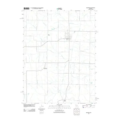 2012 Braymer2012 Print · USGSBraymer and the surrounding Caldwell County countryside are captured here in the early twenty-first century. Genealogists and local historians can trace the rural landscape between Black Oak and Tinney Grove, or locate landmarks like Wright Landing Field.
 - 2012 Map of Fountain Grove, 2012 Print
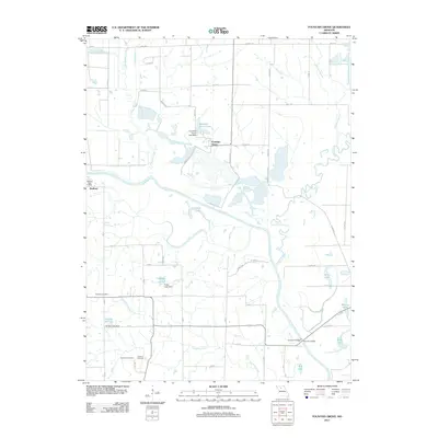 2012 Fountain Grove2012 Print · USGSThe Grand River valley in Linn County is captured here in the early 21st century, showing a landscape shaped by river bends and rural settlements. Researchers can locate the Bedford Post Office, trace family roots at Fairland Cemetery, or explore the wetlands of Pershing State Park.
 - 2015 Map of Utica East, 2015 Print
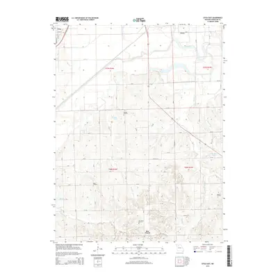 2015 Utica East2015 Print · USGSLivingston County in the 2010s remains a landscape of traditional rural settlements and river-valley drainage. Researchers can trace local heritage through the locations of the Welsh, Christian, and Blue Mound Cemetery near Utica.
 - 2015 Map of Farmersville, 2015 Print
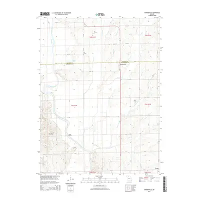 2015 Farmersville2015 Print · USGSThe rural border of Livingston and Grundy counties is documented here as it appeared in the mid-2010s. Researchers can locate family burial sites at May Cemetery or Tolle Cemetery and trace the paths of Honey Cr and the Thompson River.
 - 2015 Map of Jamesport, 2015 Print
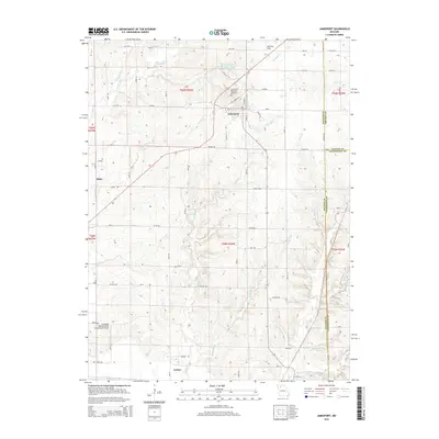 2015 Jamesport2015 Print · USGSJamesport and the surrounding Missouri farmland are documented here in the mid-2010s, showing a landscape of dispersed rural settlements and intricate creek systems. Genealogists and local historians can locate Jamesport Memorial Cemetery, the small community of Blake, and the southern crossing at Carlow near the Grand River.
 - 2015 Map of Hale, 2015 Print
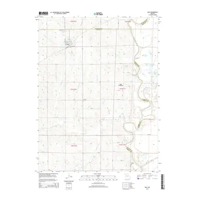 2015 Hale2015 Print · USGSThe rural town of Hale and the surrounding river bottomlands are captured here in the mid-2010s. Genealogists and local historians can trace family locations near the Grand River and identify sites like Elizabeth Cemetery or the settlement of Little Compton.
 - 2015 Map of Avalon, 2015 Print
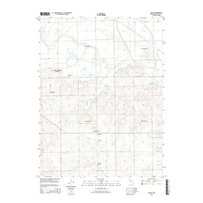 2015 Avalon2015 Print · USGSInland Livingston County comes into focus in this modern era, showing the enduring grid of farm roads and river valleys. Genealogists can locate family names at Burnside Cemetery or Arkadelphia Cemetery and trace the rural reaches of Avalon and the Corner Campbell School.
Showing maps 1-25 of 80
Top cities of Livingston County
- Chillicothe historical maps
- Blue Mound historical maps
- Utica historical maps
- Wheeling historical maps
- Sampsel historical maps
- Ludlow historical maps
See more
Frequently asked questions
- What are the different types of historical maps available for Livingston County?
- What is the oldest map of Livingston County?
- Where can I purchase historical maps of Livingston County for my home or office?
- Where can I download high-res historical maps of Livingston County?
- Are there historical topographic maps available for Livingston County?
- Is there historical aerial imagery available for Livingston County?
- Where are historical maps of Livingston County sourced from?