2010s Maps of Daniels County, Montana
Explore 120 historic maps of Daniels County from the 2010s. These maps offer a rare glimpse into what life looked like during the 2010s — showing old roads, neighborhoods, homes, and landmarks that have changed or disappeared over time.
Whether you're researching your family's past, planning a metal detecting trip, or studying how Daniels County's landscape evolved across the 2010s, these high-resolution maps are a powerful tool for exploring the history of this region.
- Focus on a specific era: All maps on this page are from the 2010s, giving you a focused view of this time period.
- See what’s changed: Compare century-old streets, trails, and buildings to today's modern landscape using overlays and satellite layers.
- Research with precision: Use these maps for genealogy, historical research, land use analysis, or educational projects.
- View, download, or print: Maps are fully viewable online in high resolution, and can be downloaded or printed for your own records.
Start exploring Daniels County's history through authentic maps from the 2010s. This is your window into the past.
Daniels County, MT maps
(120)- 2011 Map of Richland, 2011 Print
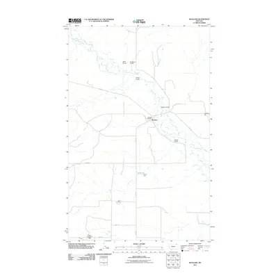 2011 Richland2011 Print · USGSValley County, Montana, is depicted here in the early twenty-first century, centered on the rural community of Richland. Researchers can trace the local landscape through features like the Richland Post Office, the Battin Mine, and the waters of the West Fork Poplar River.
 - 2011 Map of Brockway Spring, 2011 Print
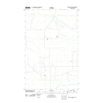 2011 Brockway Spring2011 Print · USGSValley County, Montana, at the start of the 2010s reveals a vast landscape managed through isolated springs and dams. Researchers can trace land use via Brockway Spring, Morgan Coulee, and water works like Bjarne Number 1 Dam.
 - 2011 Map of Johnnys Hill, 2011 Print
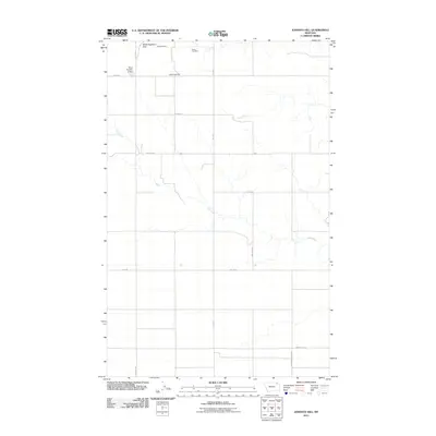 2011 Johnnys Hill2011 Print · USGSValley County, Montana, is shown here as a sparse landscape of high-plains grazing and mineral extraction in the early 2000s. Researchers can locate remote industrial sites like the Kleppen Mine and Sioux City Mine or trace the course of Hell Creek.
 - 2011 Map of Kaminski Hill, 2011 Print
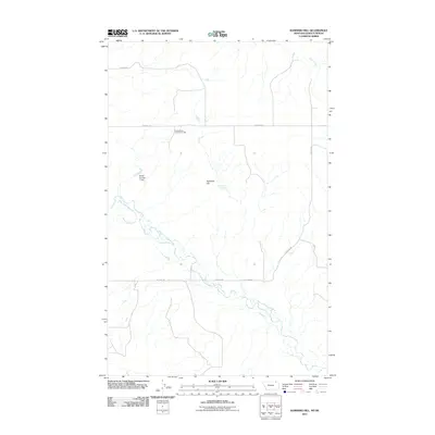 2011 Kaminski Hill2011 Print · USGSValley County, Montana, is captured in the early twenty-first century as a land of expansive plateaus and critical watercourses. Researchers can locate the North Bench Community Hall and trace the waters of the West Fork Poplar River and Ghost Number 1 Dam.
 - 2011 Map of Glentana East, 2011 Print
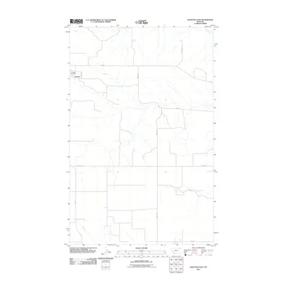 2011 Glentana East2011 Print · USGSNortheastern Montana's high plains are documented here during the early twenty-first century, centered on the settlement of Glentana. Researchers can trace old property access and rural infrastructure through named routes like Zemliska Rd and the vital Glentana Post Office.
 - 2011 Map of North of Volt, 2011 Print
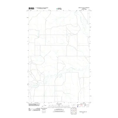 2011 North of Volt2011 Print · USGSThe Wolf Point District of northeastern Montana is shown here in the early twenty-first century, a landscape of open plains and winding coulees. Researchers can trace the courses of the West Fork Poplar River and Cottonwood Creek alongside local routes like Waska Rd.
 - 2011 Map of Four Buttes, 2011 Print
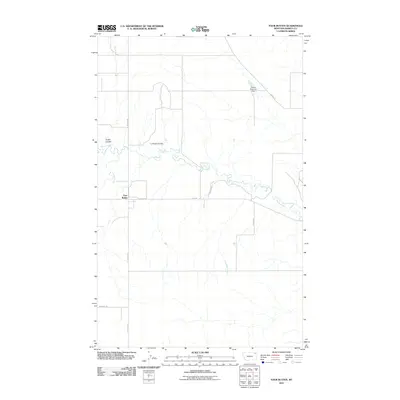 2011 Four Buttes2011 Print · USGSDaniels County ranching country is captured here in the early twenty-first century, centered on the small settlement of Four Buttes. Researchers can trace local property access and water sources along Butte Creek and family-named routes like Levang Rd.
 - 2011 Map of Si Merrell Slough, 2011 Print
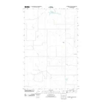 2011 Si Merrell Slough2011 Print · USGSThe Montana-Saskatchewan borderlands are captured here in the early twenty-first century, showcasing a sparse landscape of remote ranching and water management. Local historians can trace the paths of N. Madoc Rd and locate landmarks like Square Butte and Baby Blue Dam.
 - 2011 Map of Shipstead Coulee, 2011 Print
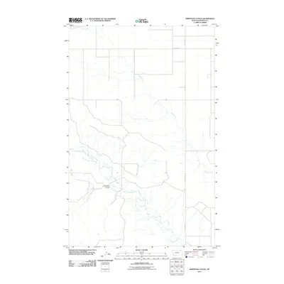 2011 Shipstead Coulee2011 Print · USGSNortheastern Montana ranch land remains largely unchanged in this modern-era survey of the high plains. Genealogists and local historians can trace the paths of West Fork Poplar River and Shipstead Coulee alongside rural routes like South 4 Buttes Rd.
 - 2011 Map of Cabarett Coulee, 2011 Print
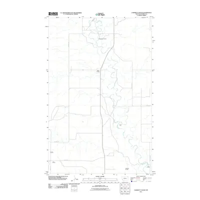 2011 Cabarett Coulee2011 Print · USGSDaniels County at the start of the 2010s reveals a terrain shaped by the winding Poplar River and its intricate network of coulees. Genealogists and local historians can locate rural landmarks like Fairview Cemetery, the Silver Star Hall, and Drury Dam.
 - 2011 Map of Nielsen Coulee, 2011 Print
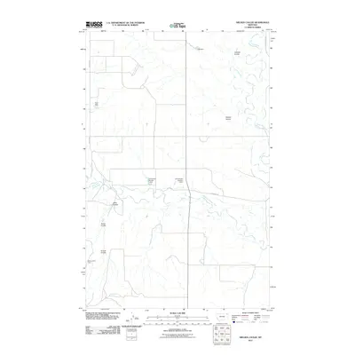 2011 Nielsen Coulee2011 Print · USGSNortheastern Montana ranching country remains defined by its vital water sources in this 2011 survey of the Poplar River basin. Genealogists and local historians can trace family-named landmarks and rural infrastructure including Nielsen Coulee, Below Zero Dam, and Lekvold Rd.
 - 2011 Map of South of Four Buttes, 2011 Print
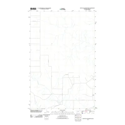 2011 South of Four Buttes2011 Print · USGSDaniels County ranching country is documented here in the early twenty-first century, showing the quiet persistence of rural Montana life. Researchers can locate the Fairview Cemetery and trace the course of Police Creek along the winding Police Creek Rd.
 - 2011 Map of Pleasant Prairie, 2011 Print
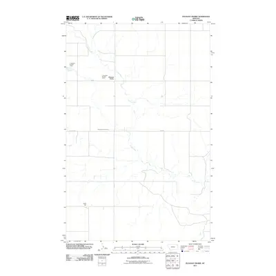 2011 Pleasant Prairie2011 Print · USGSPleasant Prairie in Roosevelt County was a quiet expanse of ranchland and prairie at the start of the 2010s. Researchers can locate family landmarks such as the Pleasant Prairie Cemetery, Chris Hill, and local features like J Jacobsen Number 1 Dam.
 - 2011 Map of Haugens Hill, 2011 Print
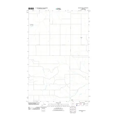 2011 Haugens Hill2011 Print · USGSThe ranchlands of Valley County are captured here in the early twenty-first century, showing a terrain defined by isolated infrastructure and high plains. You can trace local landmarks like Haugens Hill, the Saubak Airport, and Miner Farms Number 1 Dam.
 - 2011 Map of Poplar Coulee, 2011 Print
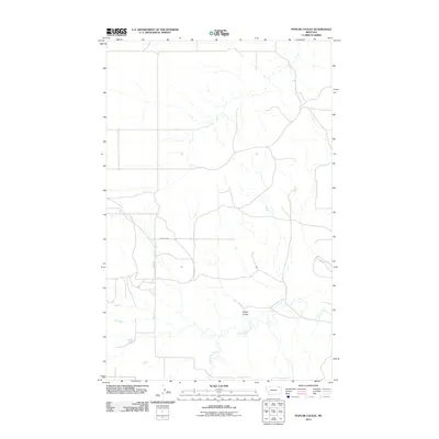 2011 Poplar Coulee2011 Print · USGSThe northern plains of Roosevelt County are captured here in the early twenty-first century, showing the rural section lines of the Wolf Point District. Researchers can trace the winding path of Cottonwood Creek and the topography of Poplar Coulee near local routes like Winderal Rd.
 - 2011 Map of Madoc, 2011 Print
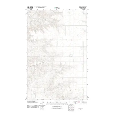 2011 Madoc2011 Print · USGSMadoc and the surrounding plains of Daniels County are captured in the early 2000s, showing the high-country road network and small-town center. Researchers can trace local routes like Line Coulee Rd, Main St, and the namesake N Madoc Rd.
 - 2011 Map of Line Coulee, 2011 Print
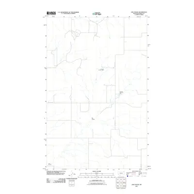 2011 Line Coulee2011 Print · USGSDaniels County at the start of the 2010s is characterized by its expansive plains and critical water management features. Researchers can trace the path of Big Coulee and locate infrastructure like the Lindquest Number 1 Dam and Danelson Reservoir Dam.
 - 2011 Map of Jakes Coulee, 2011 Print
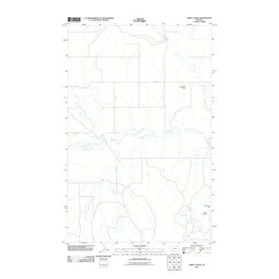 2011 Jakes Coulee2011 Print · USGSNortheastern Montana ranching country is documented here in the early twenty-first century, showing a landscape defined by vital water management. Researchers can trace the drainage of the West Fork Poplar River and locate remote landmarks like the Below Zero Dam and Jakes Coulee.
 - 2011 Map of Horseshoe Basin, 2011 Print
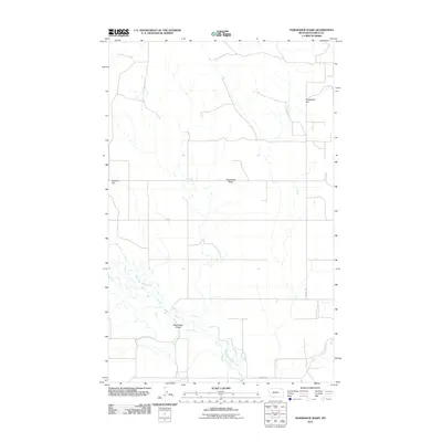 2011 Horseshoe Basin2011 Print · USGSDaniels County at the turn of the decade reveals a sparsely settled landscape defined by its winding watercourses and high plains topography. Genealogists and local historians can trace family-named landmarks like Gregerson Hill and rural routes such as Nieskens Rd or Gilchrist Rd.
 - 2011 Map of Killenbeck Reservoir, 2011 Print
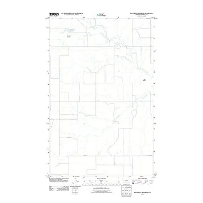 2011 Killenbeck Reservoir2011 Print · USGSDaniels County ranching and water management are the focus of this Montana survey from the early 2010s. Researchers can trace land access via Gilchrist Rd and Nieskens Rd or locate the site of the Killenbeck Lake Dam.
 - 2011 Map of West Fork, 2011 Print
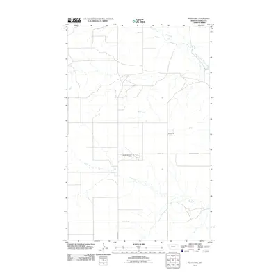 2011 West Fork2011 Print · USGSDaniels County's high prairie comes to life in this early twenty-first-century survey of the West Fork area. Researchers can trace the agricultural footprint of the region through family-named landmarks like Oglesby Farms Inc Airport and Nieskens Rd.
 - 2011 Map of Peerless, 2011 Print
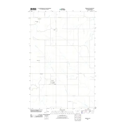 2011 Peerless2011 Print · USGSPeerless and the surrounding high plains of Daniels County are documented here in the early twenty-first century. Researchers can locate civic landmarks like the Peerless Post Office or trace rural landforms including Slaughter Hill and Wild Horse Butte.
 - 2011 Map of Pleasant Prairie SW, 2011 Print
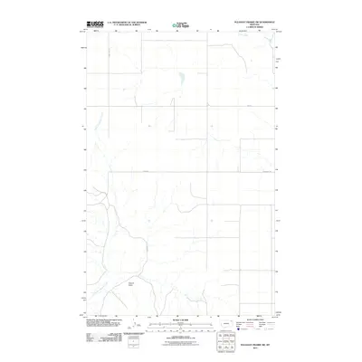 2011 Pleasant Prairie SW2011 Print · USGSThe northern plains of Roosevelt County appear in this modern survey of the Poplar District just after the turn of the decade. Researchers can trace the rural landscape from the heights of Square Butte to the drainages of Smoke Creek and Glue Out Morgan Creek.
 - 2011 Map of West Fork NE, 2011 Print
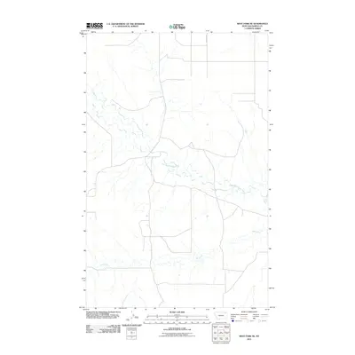 2011 West Fork NE2011 Print · USGSNortheastern Montana’s rural landscape is captured here in the early twenty-first century, showing the remote drainages of Roosevelt County. Genealogists and historians can trace the course of the West Fork Poplar River, Hell Creek, and the path of Fladager Rd.
 - 2011 Map of Carbert, 2011 Print
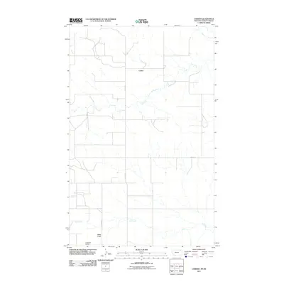 2011 Carbert2011 Print · USGSNear the northern border of Montana in the early twenty-first century, this landscape shows the intersection of sparse settlement and prairie drainage. Genealogists and researchers can trace rural routes like French Ln and the paths of Coal Creek and Butte Creek.
Showing maps 1-25 of 120
Top cities of Daniels County
Frequently asked questions
- What are the different types of historical maps available for Daniels County?
- What is the oldest map of Daniels County?
- Where can I purchase historical maps of Daniels County for my home or office?
- Where can I download high-res historical maps of Daniels County?
- Are there historical topographic maps available for Daniels County?
- Is there historical aerial imagery available for Daniels County?
- Where are historical maps of Daniels County sourced from?