2020s Maps of Fergus County, Montana
Explore 222 historic maps of Fergus County from the 2020s. These maps offer a rare glimpse into what life looked like during the 2020s — showing old roads, neighborhoods, homes, and landmarks that have changed or disappeared over time.
Whether you're researching your family's past, planning a metal detecting trip, or studying how Fergus County's landscape evolved across the 2020s, these high-resolution maps are a powerful tool for exploring the history of this region.
- Focus on a specific era: All maps on this page are from the 2020s, giving you a focused view of this time period.
- See what’s changed: Compare century-old streets, trails, and buildings to today's modern landscape using overlays and satellite layers.
- Research with precision: Use these maps for genealogy, historical research, land use analysis, or educational projects.
- View, download, or print: Maps are fully viewable online in high resolution, and can be downloaded or printed for your own records.
Start exploring Fergus County's history through authentic maps from the 2020s. This is your window into the past.
Fergus County, MT maps
(222)- 2020 Map of Loco Ridge, 2020 Print
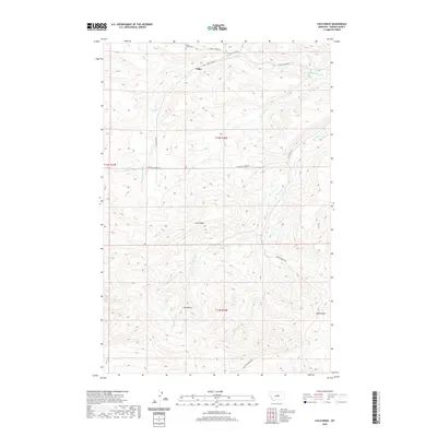 2020 Loco Ridge2020 Print · USGSThe high plains of Fergus County are captured here in the modern era, showing the remote ranching landscape around Piper. Researchers can trace local history through the Great Divide Cem or follow the terrain from Loco Ridge down into Gyp Basin.
 - 2020 Map of Jump Off Peak, 2020 Print
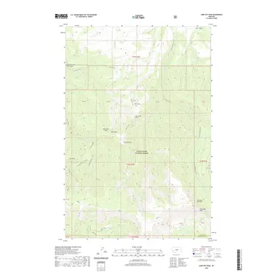 2020 Jump Off Peak2020 Print · USGSThe Big Snowy Mountains of Fergus and Golden Valley counties come into sharp focus in this recent survey. Researchers can trace the rugged drainage of Crystal Cascades and identify high-altitude landmarks like Jump Off Peak and Mt Harlow.
 - 2020 Map of Moore, 2020 Print
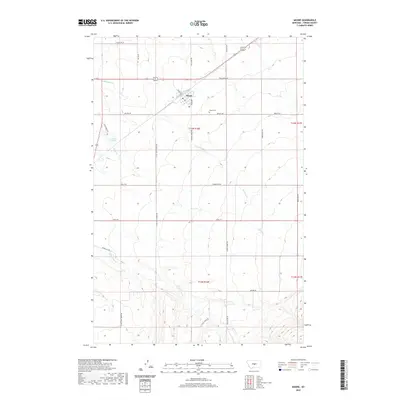 2020 Moore2020 Print · USGSThe agricultural plains of Fergus County are centered on Moore in this recent survey. Local historians can trace family land via Tyler Ranch Rd, find the quiet Moore Cem, and follow the waters of Dawkins Br and Olsen Cr.
 - 2020 Map of Crystal Lake, 2020 Print
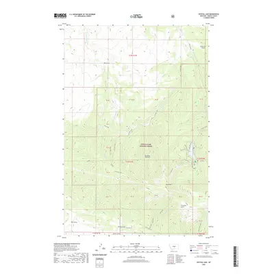 2020 Crystal Lake2020 Print · USGSThe high summits of Fergus County are mapped here in the modern era, showing the protected wilderness of the Lewis & Clark National Forest. Researchers can trace the drainage of the Big Snowy Mountains via Dry Pole Creek and identify landmarks like Blake Creek Summit.
 - 2020 Map of South Bench, 2020 Print
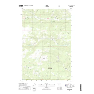 2020 South Bench2020 Print · USGSFergus County's high plateaus and mountain fronts are captured in this recent survey of the Big Snowy foothills. Local historians can trace the remote Pine Grove Cem and follow the rugged drainages of N Fork Flatwillow Cr and Fivemile Coulee.
 - 2020 Map of Forestgrove, 2020 Print
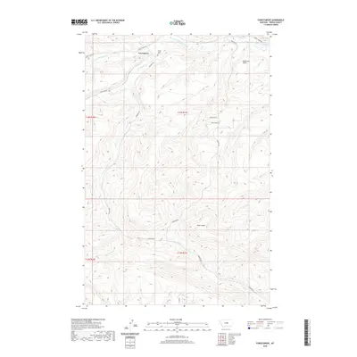 2020 Forestgrove2020 Print · USGSThe foothills of Fergus County come into focus in this contemporary survey of the high plains. Researchers can trace the legacy of local families through landmarks like McDonald Butte, the Forest Grove Cem, and the drainage of Surenough Cr.
 - 2020 Map of Half Moon Canyon, 2020 Print
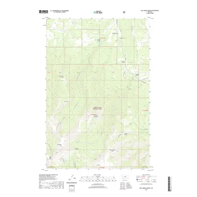 2020 Half Moon Canyon2020 Print · USGSThe high summits of the Big Snowy Mountains are captured here in the 2020s, showing the intersection of Fergus and Golden Valley counties. Researchers can trace the rugged topography of Greathouse Peak, the steep Knife Blade Ridge, and early routes like Half Moon Ranch Rd.
 - 2020 Map of Heath, 2020 Print
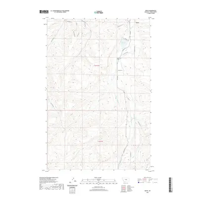 2020 Heath2020 Print · USGSFergus County ranching country comes into focus in this recent survey of the lands surrounding Heath. Local historians can trace the intricate waterways of Middle Fork Big Spring Creek and locate landmarks like the East Fork Reservoir and Toboggan Slide.
 - 2020 Map of Judith Gap, 2020 Print
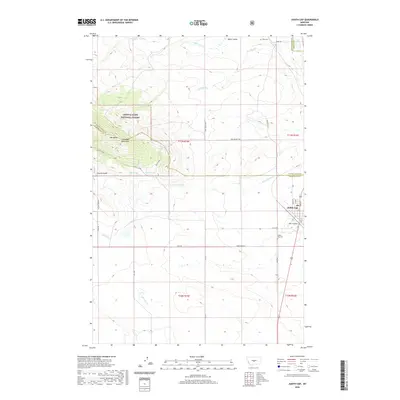 2020 Judith Gap2020 Print · USGSThe mountain pass at Judith Gap is captured here in the modern era, showing the intersection of the Little Belt Mountains and the central Montana plains. Researchers can locate the Ubet Cem, trace the drainage of Oka Coulee, and explore the rugged tracks of the Lazy Z Jeep trail.
 - 2020 Map of West Fork Beaver Creek, 2020 Print
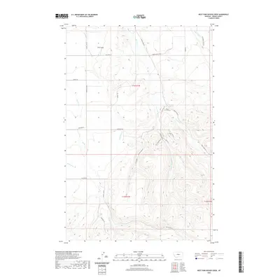 2020 West Fork Beaver Creek2020 Print · USGSFergus County's branching high-country drainages are captured here as they appeared in the early 21st century. Genealogists and researchers can locate Beaver Creek Cem and trace the many forks of Beaver Cr alongside rural routes like Stone Barn RD.
 - 2020 Map of Alaska Bench, 2020 Print
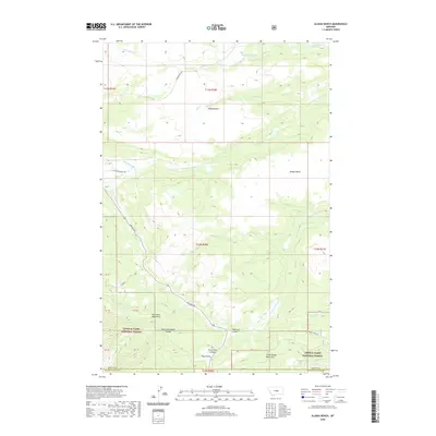 2020 Alaska Bench2020 Print · USGSCentral Montana’s high-country divides are documented here in the recent decade, where the Big Snowy and Little Snowy ranges meet. Researchers can trace land use and water sources from McCartney Springs to the deep cuts of Horsethief Canyon and Maynard Coulee.
 - 2020 Map of Elephant Rocks, 2020 Print
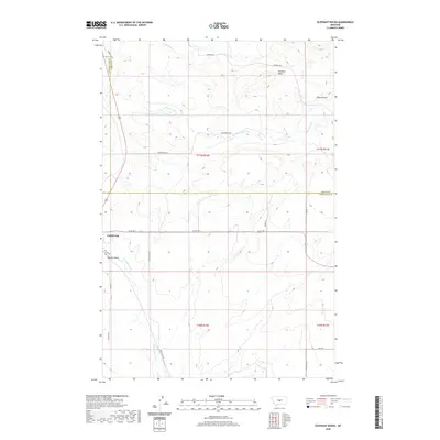 2020 Elephant Rocks2020 Print · USGSCentral Montana's high plains and geological transitions are captured in this recent survey of the Judith Gap area. Genealogists and local historians can trace the rural landscape across three counties, following landmarks like Elephant Rocks, Mills Coulee, and the headwaters of Ross Fork Cr.
 - 2020 Map of Sipple, 2020 Print
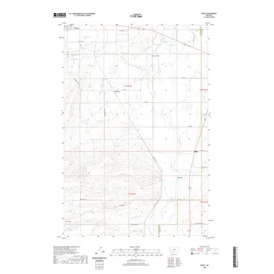 2020 Sipple2020 Print · USGSIn the heart of the Judith Basin during the early twenty-first century, this region reveals a landscape of ranching outposts and winding coulees. Researchers can trace the drainage of Ross Fork Cr and locate historical points like Hauck and Sipple.
 - 2020 Map of Yaple Bench, 2020 Print
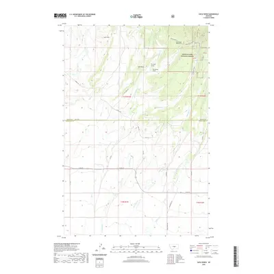 2020 Yaple Bench2020 Print · USGSWheatland County ranchlands meet the southern slopes of the Big Snowy Mountains in the late twenty-teens. Researchers can trace historic access routes like Porcupine Gulch Rd and find natural landmarks including Yaple Bench and Castle Rocks.
 - 2020 Map of Moore SW, 2020 Print
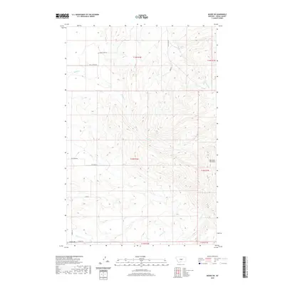 2020 Moore SW2020 Print · USGSCentral Montana ranching country meets the foothills of the Big Snowy Mountains in this modern topographic survey. Researchers can trace land ownership patterns through rural routes like Larsen Ln and Barney Rd near the settlement of Garneill.
 - 2020 Map of Buffalo, 2020 Print
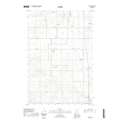 2020 Buffalo2020 Print · USGSCentral Montana at the turn of the decade reveals a landscape of enduring rural communities and historical burial sites. Researchers can trace family roots at Buffalo Cemetery or Garneill Cemetery and locate early settlements like Straw and McClave.
 - 2020 Map of Snow Saucer Coulee, 2020 Print
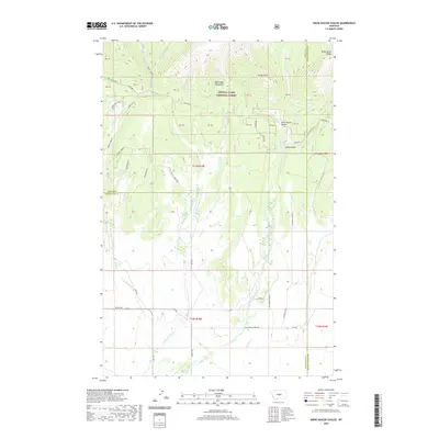 2020 Snow Saucer Coulee2020 Print · USGSThe high slopes of the Big Snowy Mountains and the rural reaches of Wheatland County are captured here in the early twenty-first century. Researchers can trace the local road and creek networks through Snow Saucer Coulee and along the banks of Little Careless Cr.
 - 2020 Map of Castle Butte, 2020 Print
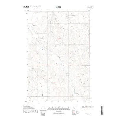 2020 Castle Butte2020 Print · USGSFergus County, Montana, is depicted in the early twenty-first century, showcasing a rugged ranching landscape centered on notable elevations. Researchers can trace the winding paths of Castle Butte Rd and Beaver Creek Rd as they navigate the drainages of Casino Cr and Spring Br.
 - 2020 Map of Strouf Island, 2020 Print
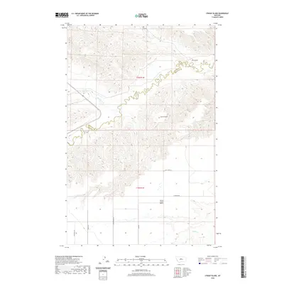 2020 Strouf Island2020 Print · USGSThe Montana high plains and the Chouteau-Fergus county line are documented here in the early twenty-first century. Researchers can trace the rugged breaks of Arrow Cr and Big Coulee, or locate family-named landmarks like Strouf Island.
 - 2020 Map of Arrow Creek, 2020 Print
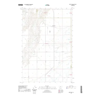 2020 Arrow Creek2020 Print · USGSThe border of Judith Basin and Fergus counties comes into focus in the 2020s, showcasing a landscape of high benches and deep coulees. Researchers can trace the drainage of Arrow Cr and locate numerous named water sources like 18N12E20BB__01 Spring and Coffee Cr.
 - 2020 Map of Stanford NE, 2020 Print
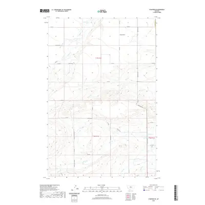 2020 Stanford NE2020 Print · USGSThe Judith Basin and Fergus County line area is defined here by high prairie benches and the intricate drainages of the Central Montana plains. Genealogists and historians can trace the rural road network connecting family-named landmarks like Porter Ln and water sources including Walker Spring and Dry Wolf Cr.
 - 2020 Map of Coffee Creek, 2020 Print
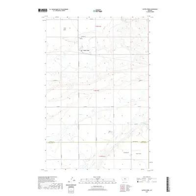 2020 Coffee Creek2020 Print · USGSThis rural Montana landscape in the heart of the Judith Basin shows the early twenty-first century agricultural and ranching patterns of Fergus and Judith Basin counties. Genealogists and local historians can locate Coffee Creek Cem and Strouf Pioneer Cem near the banks of Coffee Cr.
 - 2020 Map of Pownal, 2020 Print
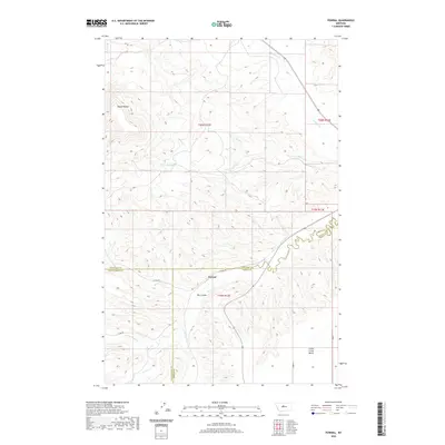 2020 Pownal2020 Print · USGSCentral Montana ranching country is captured here at the tri-county border of Fergus, Chouteau, and Judith Basin. Genealogists and local historians can trace the drainage patterns of Arrow Creek and Cottonwood Creek or locate the rural crossroads at Pownal.
 - 2020 Map of Becket, 2020 Print
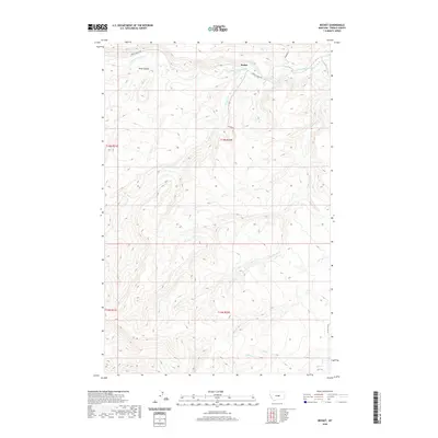 2020 Becket2020 Print · USGSBecket and the surrounding central Montana ranchlands are documented here in the early twenty-first century. Researchers can trace rural routes like the Tyler Cutoff and locate natural landmarks such as Rose Canyon and Blacktail Cr.
 - 2020 Map of Lake Mason NW, 2020 Print
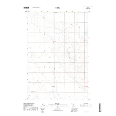 2020 Lake Mason NW2020 Print · USGSFergus County's high plains and creek valleys are documented here in the early twenty-first century, showcasing the rural road network and water systems. Researchers can trace land access and local water sources along N Willow Cr, Snowy Mountain Rd, and Graves Rd.
Showing maps 1-25 of 222
Top cities of Fergus County
- Lewistown historical maps
- Denton historical maps
- Moore historical maps
- Winifred historical maps
- Grass Range historical maps
Frequently asked questions
- What are the different types of historical maps available for Fergus County?
- What is the oldest map of Fergus County?
- Where can I purchase historical maps of Fergus County for my home or office?
- Where can I download high-res historical maps of Fergus County?
- Are there historical topographic maps available for Fergus County?
- Is there historical aerial imagery available for Fergus County?
- Where are historical maps of Fergus County sourced from?