2000s (21st Century) Maps of Fergus County, Montana
Explore 555 historic maps of Fergus County from the 2000s (21st Century). These maps offer a rare glimpse into what life looked like during the 2000s — showing old roads, neighborhoods, homes, and landmarks that have changed or disappeared over time.
Whether you're researching your family's past, planning a metal detecting trip, or studying how Fergus County's landscape evolved across the 2000s, these high-resolution maps are a powerful tool for exploring the history of this region.
- Focus on a specific era: All maps on this page are from the 2000s, giving you a focused view of this time period.
- See what’s changed: Compare century-old streets, trails, and buildings to today's modern landscape using overlays and satellite layers.
- Research with precision: Use these maps for genealogy, historical research, land use analysis, or educational projects.
- View, download, or print: Maps are fully viewable online in high resolution, and can be downloaded or printed for your own records.
Start exploring Fergus County's history through authentic maps from the 2000s. This is your window into the past.
Fergus County, MT maps
(555)- 2011 Map of Briggs Coulee, 2011 Print
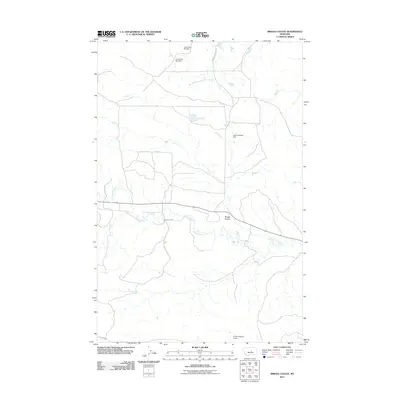 2011 Briggs Coulee2011 Print · USGSCentral Montana ranching lands are captured here in the early twenty-first century, showing a landscape defined by water management and isolated roads. Researchers can trace land use through features like Lewis Brothers Dam and routes such as Stark Ranch Rd.
 - 2011 Map of Valentine, 2011 Print
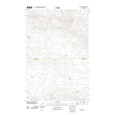 2011 Valentine2011 Print · USGSValentine sits at a quiet crossroads in Fergus County at the start of the decade, where ranching life and water management define the landscape. Trace family-named landmarks and water improvements like Sluggett Number 1 Dam, N Barnett Number 1 Dam, and Blood Creek.
 - 2011 Map of Fish Dam, 2011 Print
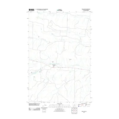 2011 Fish Dam2011 Print · USGSFergus County ranching country is documented here in the early twenty-first century, showing a landscape defined by water management and rural communal living. Researchers can trace the layout of the Ayers Ranch Colony and find local landmarks like Fish Dam and the Cheadle Fire Dist.
 - 2011 Map of Griffee Coulee, 2011 Print
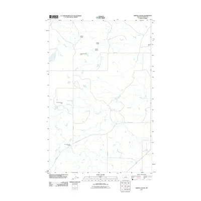 2011 Griffee Coulee2011 Print · USGSFergus County at the beginning of the 2010s shows a landscape of ranching and water management. Local historians can trace the course of the Sacagawea River and identify the sites of the Lazy JD Number 10 Dam and Griffee Ridge.
 - 2011 Map of Sloan Reservoir, 2011 Print
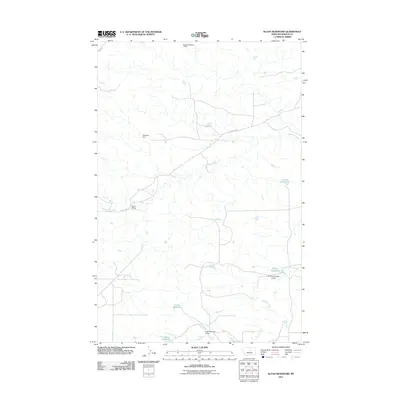 2011 Sloan Reservoir2011 Print · USGSThe Sacagawea River flows through Fergus County in the early twenty-first century, a landscape shaped by rural water management and historic trails. Trace local water rights through named features like Sloan Reservoir, Ed Styer Number 2 Dam, and the river crossing at Joslin Bridge.
 - 2011 Map of Kachia Reservoir, 2011 Print
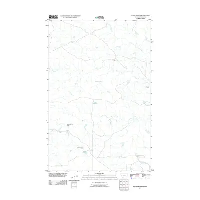 2011 Kachia Reservoir2011 Print · USGSFergus County ranching country is documented here in the early 2000s, showing a landscape defined by water management and river crossings. Trace the complex network of local dams including Ed Styer Number 3 Dam and the historic Cottonwood Crossing on the Sacagawea River.
 - 2011 Map of Teigen, 2011 Print
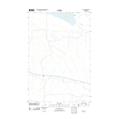 2011 Teigen2011 Print · USGSPetroleum County ranching country is mapped here in the early twenty-first century, showing the small community of Teigen along the banks of McDonald Creek. Researchers can trace local water management and topography through features like War Horse Lake and Warhorse Dam.
 - 2011 Map of Brown Spring, 2011 Print
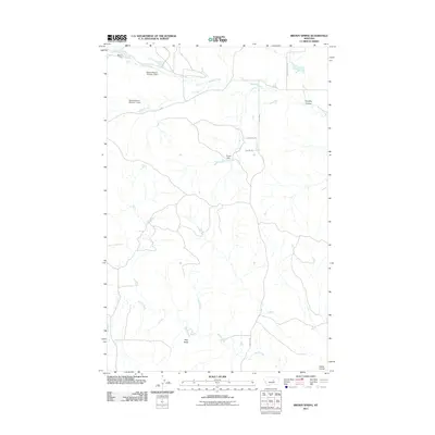 2011 Brown Spring2011 Print · USGSFergus County at the start of the 2010s shows a landscape shaped by water management and isolated cattle ranges. Researchers can trace the drainage of Blood Creek, find family-named sites like Warren Weaver Number 1 Dam, and locate landmarks like Dog Butte.
 - 2011 Map of Carter Coulee, 2011 Print
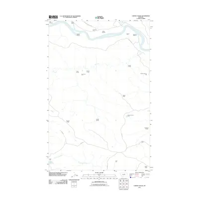 2011 Carter Coulee2011 Print · USGSThe Missouri River breaks and northern ranchlands are captured here in the early twenty-first century. Researchers can trace historic land use and extraction at the Apex Number 2 Mine, Roma White Ranch, and the riverfront flats of Mauland Bottoms.
 - 2011 Map of Mitchell Crossing, 2011 Print
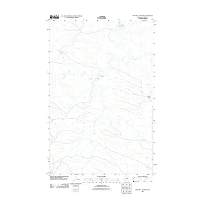 2011 Mitchell Crossing2011 Print · USGSFergus County's central Montana landscape is shown here in the early twenty-first century, centered on the drainage of Armells Creek. Researchers can trace local terrain features from Knox Ridge to Indian Butte or locate the site of Mitchell Crossing.
 - 2011 Map of Kepple Bottoms, 2011 Print
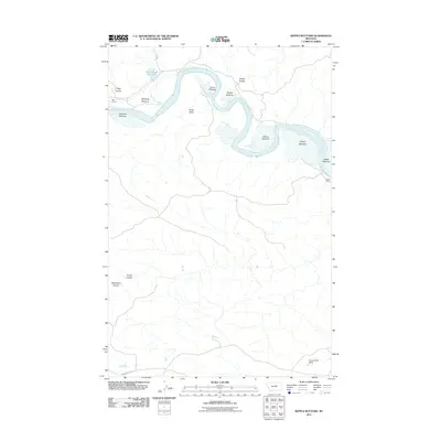 2011 Kepple Bottoms2011 Print · USGSFergus County ranching country is captured here during the early twenty-first century as the Missouri River snakes through the high plains. Researchers can trace land use at Gar Ranch and Rindal Ranch or locate historical routes along the Musshell Trl.
 - 2011 Map of Hessler Ridge, 2011 Print
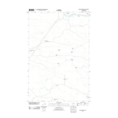 2011 Hessler Ridge2011 Print · USGSFergus County's high-plains terrain is detailed here during the early twenty-first century, specifically where the Missouri River meets the northern breaks. Researchers can trace land features such as Hessler Ridge and isolated landmarks like the Sand Creek Wildlife Station Airport.
 - 2011 Map of Teigen NW, 2011 Print
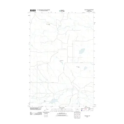 2011 Teigen NW2011 Print · USGSFergus County ranching country is documented here during the early 2000s, showing a landscape shaped by water management and isolated ridges. Researchers can trace the drainage patterns of South Fork Bear Creek and locate landmarks like Three Buttes and the Harris Number 1 Dam.
 - 2011 Map of Bell Ridge West, 2011 Print
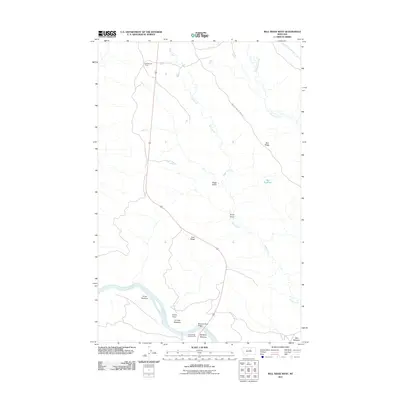 2011 Bell Ridge West2011 Print · USGSFergus County's river-carved landscape is shown here in the early twenty-first century as the Missouri River winds past high ridges and cattle camps. Researchers can trace land features like Kendall Cow Camp, Grays Point, and the James Kipp Campground river crossing.
 - 2011 Map of Bear Creek Reservoir, 2011 Print
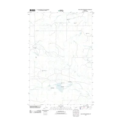 2011 Bear Creek Reservoir2011 Print · USGSFergus County, Montana, is depicted in the early 2000s as a landscape of prairie creeks and specialized water infrastructure. Researchers can trace land management patterns through numerous named family landmarks like Adams Number 2 Dam and the shoreline of Bear Creek Reservoir.
 - 2011 Map of Bear Creek Reservoir SE, 2011 Print
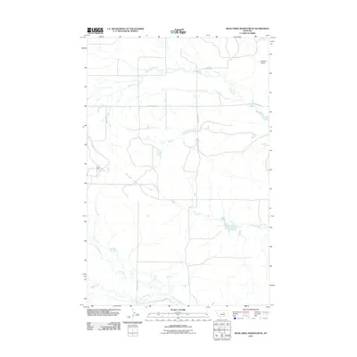 2011 Bear Creek Reservoir SE2011 Print · USGSFergus County, Montana, is depicted in the early twenty-first century as a landscape of wide-open ranchland and critical water drainages. Researchers can trace land use through features like Lund Dam or follow old family routes along Bauman Ln and Blakeslee Rd.
 - 2011 Map of Pipes Coulee, 2011 Print
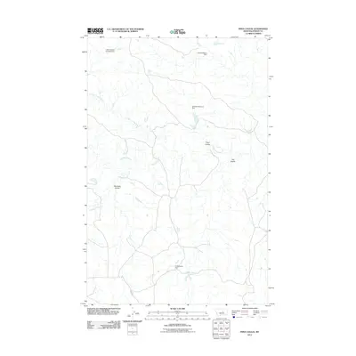 2011 Pipes Coulee2011 Print · USGSFergus County, Montana, is mapped here in the early 2010s, showing a landscape defined by the Sacagawea River and its rugged drainage basins. Researchers can trace land use through water features like Umstead Reservoir Dam and the winding paths of Pipes Coulee.
 - 2011 Map of Bohemian Corners, 2011 Print
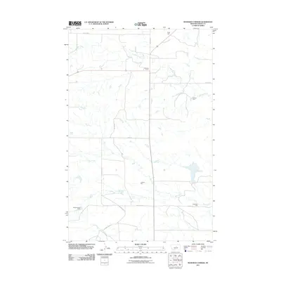 2011 Bohemian Corners2011 Print · USGSFergus County ranching country is shown here in the early twenty-first century, centered on the small junction at Bohemian Corners. Genealogists and local historians can trace family-named routes like Pospisil Rd and locate stock-water landmarks like Helluva Dam.
 - 2011 Map of Grand Island, 2011 Print
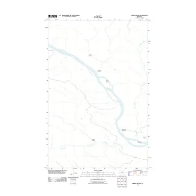 2011 Grand Island2011 Print · USGSThe Missouri River flows through Fergus County in the early twenty-first century, revealing a landscape defined by riverine islands and deep coulees. Researchers can trace land markers such as Fortress Butte and the remote D-Y Trl near Kendall Bottoms.
 - 2011 Map of Cow Island, 2011 Print
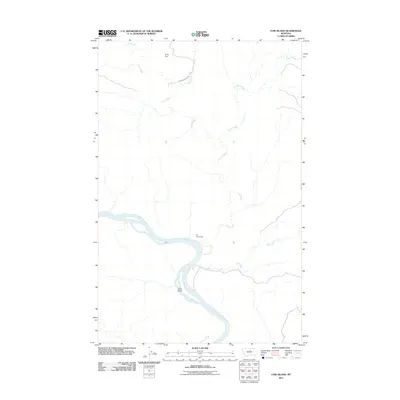 2011 Cow Island2011 Print · USGSThe Missouri River breaks of northern Montana are shown in detail during the early 21st century. Historians can trace the isolation of the Kip Homestead and landmarks like Cow Island and Sixty Dam in this sparsely populated landscape.
 - 2011 Map of Thompson Coulee, 2011 Print
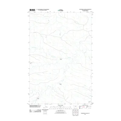 2011 Thompson Coulee2011 Print · USGSThe northern Missouri River breaks region of Fergus County comes into focus here at the start of the 2010s. Researchers can trace the winding paths of Armells Creek and Sourdough Creek, or locate local landmarks like Sawmill Coulee and Poor Sport Dam.
 - 2011 Map of Hanson Flat, 2011 Print
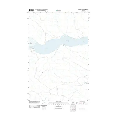 2011 Hanson Flat2011 Print · USGSFergus County at the start of the 2010s shows a landscape shaped by the Missouri River and the vast reservoir of Fort Peck Lake. Trace old interior routes like the Old Musselshell Trl and identify local landmarks such as Headman Dam and Hanson Flat.
 - 2011 Map of Baker Monument, 2011 Print
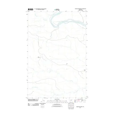 2011 Baker Monument2011 Print · USGSThe Missouri River breaks through the northern plains of Fergus County in the early twenty-first century. Researchers can trace the path of the D-Y Trl past landmarks like the Baker Monument and the distant Gumbo Dam.
 - 2011 Map of Grass Range NE, 2011 Print
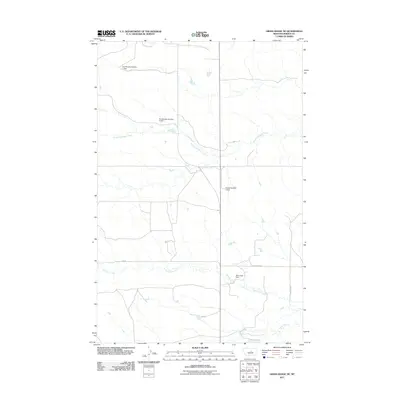 2011 Grass Range NE2011 Print · USGSFergus County's rural ranching landscape is documented here at the start of the 2010s. Trace the water management systems essential to the area, from family-named landmarks like Eva Murphy Number 1 Dam to the uniquely titled Baby Food Dam.
 - 2011 Map of Roy, 2011 Print
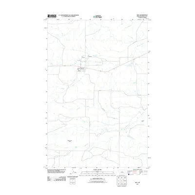 2011 Roy2011 Print · USGSRoy and its surrounding Fergus County prairie are shown here in the early twenty-first century, centered on a high-plains ranching community. Researchers can locate specific family landmarks like the Roy Cemetery or trace the course of the Sacagawea River and Box Elder Creek.
Showing maps 1-25 of 555
Top cities of Fergus County
- Lewistown historical maps
- Denton historical maps
- Moore historical maps
- Winifred historical maps
- Grass Range historical maps
Frequently asked questions
- What are the different types of historical maps available for Fergus County?
- What is the oldest map of Fergus County?
- Where can I purchase historical maps of Fergus County for my home or office?
- Where can I download high-res historical maps of Fergus County?
- Are there historical topographic maps available for Fergus County?
- Is there historical aerial imagery available for Fergus County?
- Where are historical maps of Fergus County sourced from?