2000-2009 Maps of Gallatin County, Montana
Explore 47 historic maps of Gallatin County from 2000-2009. These maps offer a rare glimpse into what life looked like during the 2000s — showing old roads, neighborhoods, homes, and landmarks that have changed or disappeared over time.
Whether you're researching your family's past, planning a metal detecting trip, or studying how Gallatin County's landscape evolved across the 2000s, these high-resolution maps are a powerful tool for exploring the history of this region.
- Focus on a specific era: All maps on this page are from the 2000s, giving you a focused view of this time period.
- See what’s changed: Compare century-old streets, trails, and buildings to today's modern landscape using overlays and satellite layers.
- Research with precision: Use these maps for genealogy, historical research, land use analysis, or educational projects.
- View, download, or print: Maps are fully viewable online in high resolution, and can be downloaded or printed for your own records.
Start exploring Gallatin County's history through authentic maps from the 2000s. This is your window into the past.
Gallatin County, MT maps
(47)- 2000 Map of Garnet Mountain, 2005 Print
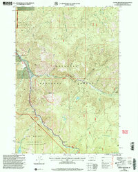 2000 Garnet Mountain2005 Print · USGSGallatin County’s high country is captured here at the turn of the millennium, defined by the deep river canyons of the Gallatin National Forest. Researchers can trace the high-elevation Garnet Mountain Lookout, the remote settlement at Shenango, and wilderness landmarks like Lava Lake.
 - 2000 Map of Bald Knob, 2005 Print
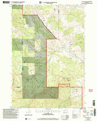 2000 Bald Knob2005 Print · USGSGallatin and Park counties meet in this high mountain forest around the turn of the millennium. Researchers can trace the industrial footprint of the Harrison Mine, locate the Hoffman (Site), and find family-named landmarks like Maxey Ridge.
 - 2000 Map of Ramshorn Peak, 2005 Print
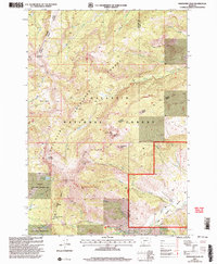 2000 Ramshorn Peak2005 Print · USGSThe Gallatin National Forest interior in the late nineties is a landscape of high summits and historical mining traces. Researchers can locate the Tom Miner Mine and trace routes over Buffalo Horn Pass or toward the remote Buffalo Horn Lakes.
 - 2000 Map of Mount Ellis, 2005 Print
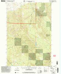 2000 Mount Ellis2005 Print · USGSHigh-elevation forest and mountain terrain southeast of Bozeman is shown here as it appeared at the turn of the century. Trace landmarks like the Bear Canyon Ski Lift, Mystic Lake, and the peaks of Chestnut Mountain.
 - 2000 Map of Beacon Point, 2005 Print
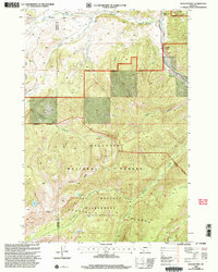 2000 Beacon Point2005 Print · USGSGallatin County high country is mapped in detail during the late twentieth century, showing the intersection of wilderness and national forest management. Researchers can trace the alpine terrain of the Spanish Peaks, the waters of Grayling Lake, and the course of the Gallatin River.
 - 2000 Map of West Yellowstone, 2005 Print
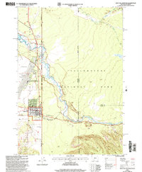 2000 West Yellowstone2005 Print · USGSThe gateway at West Yellowstone is captured here as it appeared at the turn of the century, showing the transition from town to wilderness. Researchers can trace the West Entrance and local infrastructure like the Yellowstone Airport and the Park Service Ranger Station.
 - 2000 Map of Buffalo Lake NE, 2005 Print
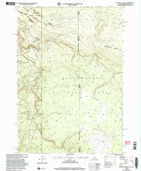 2000 Buffalo Lake NE2005 Print · USGSThe high wilderness where Idaho, Montana, and Wyoming meet is captured here at the turn of the millennium. Trace the Continental Divide as it cuts between Yellowstone National Park and the canyons of Moose Creek.
 - 2000 Map of Reas Pass, 2005 Print
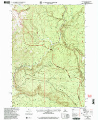 2000 Reas Pass2005 Print · USGSThe high Idaho-Montana borderlands are captured here at the turn of the millennium within the Targhee National Forest. Researchers can trace the Continental Divide and find landmarks like the Big Springs Lookout (Site) and the remote Reas Pass.
 - 2000 Map of Ruby Mountain, 2005 Print
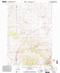 2000 Ruby Mountain2005 Print · USGSGallatin and Madison counties at the turn of the millennium were defined by rugged forest management and mineral extraction. Geologists and local historians can trace mining activity at the Corundum Mine and explore the complex drainage of Maryott Gulch and Spanish Creek.
 - 2000 Map of Gallatin Gateway, 2005 Print
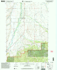 2000 Gallatin Gateway2005 Print · USGSGallatin County at the turn of the century shows a sophisticated irrigation landscape shaped by the Gallatin River. Researchers can trace the layout of Gallatin Gateway, locate the Gallatin Gateway Cem, and find rural landmarks like Axtell Bridge and Cottonwood School.
 - 2000 Map of Pika Point, 2005 Print
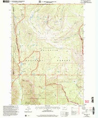 2000 Pika Point2005 Print · USGSHigh in the Gallatin Range at the start of the century, this survey tracks the intersection of wilderness management and resource exploration. Researchers can locate the Beaver Creek Ranger Station, a dry oil well near Donna Lake, and the expansive Earthquake Area.
 - 2000 Map of Hilgard Peak, 2005 Print
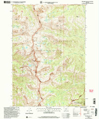 2000 Hilgard Peak2005 Print · USGSMadison and Gallatin counties are mapped here at the turn of the millennium, showing the protected reaches of the Lee Metcalf Wilderness. Researchers can trace the high-country drainages of Wolf Creek and locate remote alpine landmarks like Expedition Pass and Hilgard Peak.
 - 2000 Map of Big Horn Peak, 2005 Print
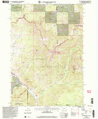 2000 Big Horn Peak2005 Print · USGSThe Montana-Wyoming border comes alive in the early 2000s, where the Gallatin and Yellowstone wilderness areas meet. Trace high-altitude trails and landmarks like Big Horn Peak, the Gallatin Petrified Forest, and Black Butte Ranch.
 - 2000 Map of Lewis Creek, 2005 Print
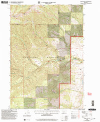 2000 Lewis Creek2005 Print · USGSGallatin and Park Counties at the turn of the millennium are defined here by high-mountain drainage basins and national forest boundaries. Researchers can trace historical surveying lines and water sources like Sunny Brook Spring, Horseshoe Basin, and Big Creek.
 - 2000 Map of Targhee Pass, 2005 Print
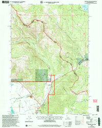 2000 Targhee Pass2005 Print · USGSThe high alpine pass between Idaho and Montana comes to life in this late-twentieth-century survey of the Henrys Lake Mountains. Trace the rugged ridgelines along the Continental Divide and find local landmarks like Targhee Cemetery and Lionhead Resort.
 - 2000 Map of Jack Straw Basin, 2005 Print
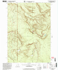 2000 Jack Straw Basin2005 Print · USGSThe Montana and Wyoming borderlands are captured here at the turn of the millennium, showing where federal forest and park lands converge. Trace the rugged terrain of the Moose Creek Plateau and find the remote South Riverside Cabin tucked near Echo Canyon.
 - 2000 Map of Bozeman Pass, 2005 Print
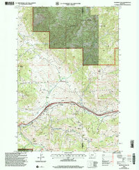 2000 Bozeman Pass2005 Print · USGSBozeman Pass at the start of the millennium remains a critical high-mountain transit corridor defined by its deep mining roots and rail infrastructure. Researchers can trace the heritage of the Anaconda Copper Mines and locate landmarks like the Malmborg Sch or the Bozeman Tunnel.
 - 2000 Map of Lincoln Mountain, 2005 Print
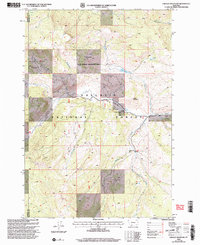 2000 Lincoln Mountain2005 Print · USGSThe Madison Range wilderness is captured here at the turn of the millennium, showing a high-country landscape of forest and wildlife management areas. Researchers can locate remote landmarks like the Nine Quarter Circle Ranch, the high-altitude Albino Lake, and the isolated Landing Strip.
 - 2000 Map of Madison Arm, 2005 Print
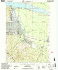 2000 Madison Arm2005 Print · USGSThe Montana-Idaho borderland near West Yellowstone is captured here at the turn of the century, showing a landscape shaped by forest recreation and water. Researchers can trace the development of seasonal communities like Madison Arm Resort and Bar N Ranch near Hebgen Lake.
 - 2000 Map of Divide Lake, 2005 Print
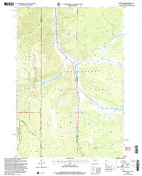 2000 Divide Lake2005 Print · USGSThe Montana and Wyoming borderlands come alive in this late-century survey of the high country surrounding Divide Lake. Researchers can trace the complex boundaries of Yellowstone National Park and the Lee Metcalf Wilderness along the upper Gallatin River.
 - 2000 Map of Richards Creek, 2005 Print
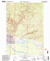 2000 Richards Creek2005 Print · USGSThe Montana-Wyoming border comes alive in the late nineties, where the high-country drainages of Grayling Creek and Richards Creek meet. Local researchers can trace the quiet markers of the land, from a lonely Cem to landmarks like Sandy Butte and the Hebgen Lake Area Day Use Area.
 - 2000 Map of Hidden Lakes, 2005 Print
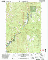 2000 Hidden Lakes2005 Print · USGSGallatin County at the turn of the millennium shows a landscape defined by the winding Gallatin River and protected wilderness. Researchers can trace the routes through Gallatin Canyon to find local landmarks like Karat Ranch and Jack Smith Bridge.
 - 2000 Map of Lone Indian Peak, 2005 Print
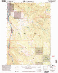 2000 Lone Indian Peak2005 Print · USGSGallatin County's high-elevation terrain is captured here at the turn of the millennium as a nexus of conservation and transit. Trace the corridor of the Gallatin River past the Rainbow Ranch or explore the ridges of the Petrified Forest and Lone Indian Peak.
 - 2000 Map of Blacktail Mountain, 2005 Print
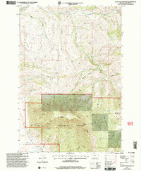 2000 Blacktail Mountain2005 Print · USGSGallatin County at the turn of the millennium shows a landscape defined by the high peaks of the Bridger Range and forest management boundaries. Researchers can trace historic mountain access via Blacktail Divide or locate the remote Cem near the banks of Menard Creek.
 - 2000 Map of Fridley Peak, 2005 Print
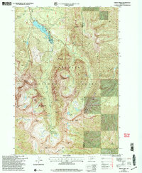 2000 Fridley Peak2005 Print · USGSThe Gallatin National Forest backcountry is shown here at the turn of the millennium, following the crest of the Hyalite Ridge. Hikers and researchers can locate remote landmarks like Palisade Falls, History Rock, and the high-altitude Fridley Lakes.
Showing maps 1-25 of 47
Top cities of Gallatin County
- Bozeman historical maps
- Belgrade historical maps
- Big Sky historical maps
- Three Forks historical maps
- Manhattan historical maps
- West Yellowstone historical maps
See more
Frequently asked questions
- What are the different types of historical maps available for Gallatin County?
- What is the oldest map of Gallatin County?
- Where can I purchase historical maps of Gallatin County for my home or office?
- Where can I download high-res historical maps of Gallatin County?
- Are there historical topographic maps available for Gallatin County?
- Is there historical aerial imagery available for Gallatin County?
- Where are historical maps of Gallatin County sourced from?