2020s Maps of Gallatin County, Montana
Explore 141 historic maps of Gallatin County from the 2020s. These maps offer a rare glimpse into what life looked like during the 2020s — showing old roads, neighborhoods, homes, and landmarks that have changed or disappeared over time.
Whether you're researching your family's past, planning a metal detecting trip, or studying how Gallatin County's landscape evolved across the 2020s, these high-resolution maps are a powerful tool for exploring the history of this region.
- Focus on a specific era: All maps on this page are from the 2020s, giving you a focused view of this time period.
- See what’s changed: Compare century-old streets, trails, and buildings to today's modern landscape using overlays and satellite layers.
- Research with precision: Use these maps for genealogy, historical research, land use analysis, or educational projects.
- View, download, or print: Maps are fully viewable online in high resolution, and can be downloaded or printed for your own records.
Start exploring Gallatin County's history through authentic maps from the 2020s. This is your window into the past.
Gallatin County, MT maps
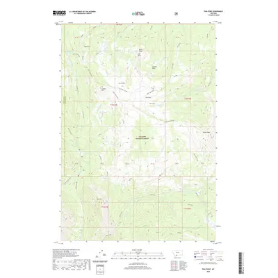
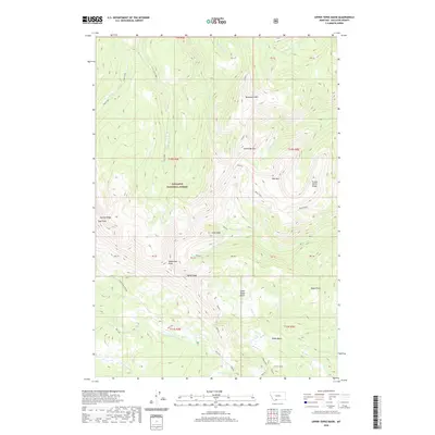
(141)- 2020 Map of Latham Spring, 2020 Print
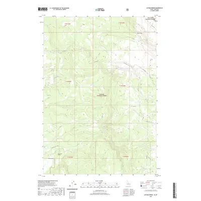 2020 Latham Spring2020 Print · USGSCovers Gallatin County, including Fremont County, United States, and other nearby areas
 - 2020 Map of Targhee Pass, 2020 Print
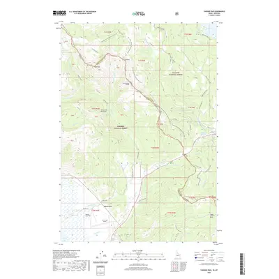 2020 Targhee Pass2020 Print · USGSCovers Gallatin County, including Island Park, Fremont County, and other nearby areas
 - 2020 Map of Reas Pass, 2020 Print
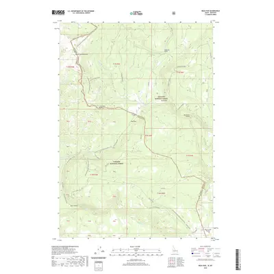 2020 Reas Pass2020 Print · USGSCovers Gallatin County, including Fremont County, United States, and other nearby areas
 - 2020 Map of Targhee Peak, 2020 Print
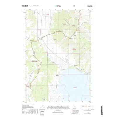 2020 Targhee Peak2020 Print · USGSCovers Gallatin County, including Island Park, Lake, and other nearby areas
 - 2020 Map of Buffalo Lake NE, 2020 Print
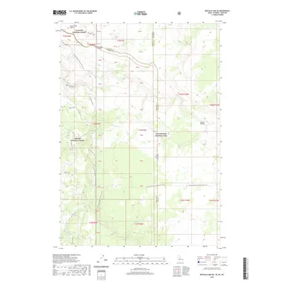 2020 Buffalo Lake NE2020 Print · USGSCovers Gallatin County, including Teton County, Fremont County, and other nearby areas
 - 2020 Map of Sixteen, 2020 Print
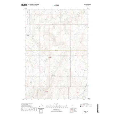 2020 Sixteen2020 Print · USGSCovers Gallatin County, including Sixteen, Meagher County, and other nearby areas
 - 2020 Map of Jack Straw Basin, 2020 Print
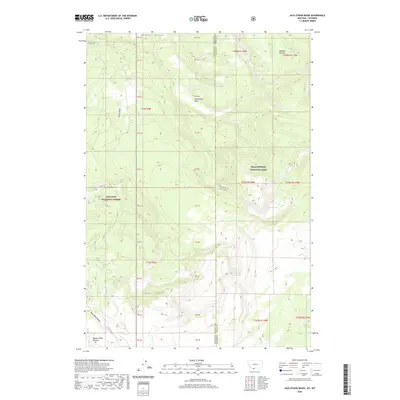 2020 Jack Straw Basin2020 Print · USGSCovers Gallatin County, including Teton County, United States, and other nearby areas
 - 2020 Map of Wallrock, 2020 Print
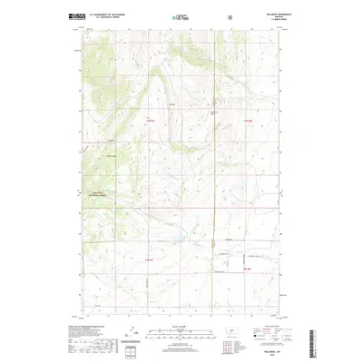 2020 Wallrock2020 Print · USGSCovers Gallatin County, including Park County, United States, and other nearby areas
 - 2020 Map of Pika Point, 2020 Print
 2020 Pika Point2020 Print · USGSCovers Gallatin County, including Madison County, United States, and other nearby areas
 - 2020 Map of Earthquake Lake, 2020 Print
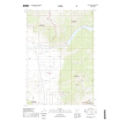 2020 Earthquake Lake2020 Print · USGSCovers Gallatin County, including Fremont County, Madison County, and other nearby areas
 - 2020 Map of Hilgard Peak, 2020 Print
 2020 Hilgard Peak2020 Print · USGSCovers Gallatin County, including Madison County, United States, and other nearby areas
 - 2020 Map of Richards Creek, 2020 Print
 2020 Richards Creek2020 Print · USGSCovers Gallatin County, including Park County, United States, and other nearby areas
 - 2020 Map of Upper Tepee Basin, 2020 Print
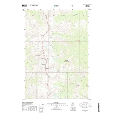
 2020 Upper Tepee Basin2020 Print · USGSCovers Gallatin County, including United States, Montana, and other nearby areas
 - 2020 Map of Sixteen NE, 2020 Print
 2020 Sixteen NE2020 Print · USGSCovers Gallatin County, including Park County, Meagher County, and other nearby areas
 - 2020 Map of Hatfield Mountain, 2020 Print
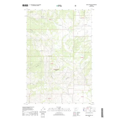
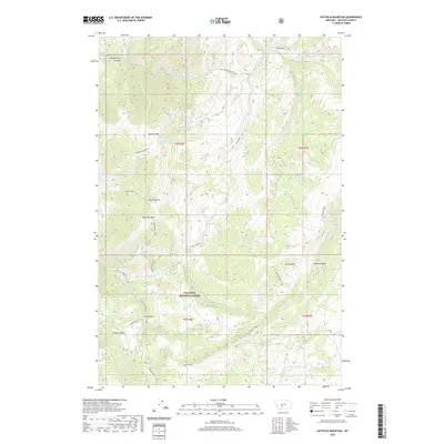 2020 Hatfield Mountain2020 Print · USGSCovers Gallatin County, including United States, Montana, and other nearby areas
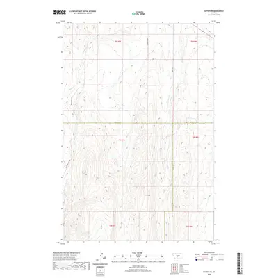
 - 2020 Map of Roy Gulch, 2020 Print
 2020 Roy Gulch2020 Print · USGSCovers Gallatin County, including Broadwater County, United States, and other nearby areas
 - 2020 Map of Blacktail Mountain, 2020 Print
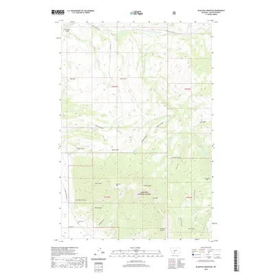 2020 Blacktail Mountain2020 Print · USGSCovers Gallatin County, including United States, Montana, and other nearby areas
 - 2020 Map of Mount Hebgen, 2020 Print
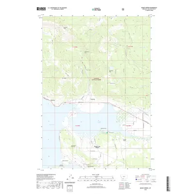 2020 Mount Hebgen2020 Print · USGSCovers Gallatin County, including Horse Butte Acres Trailer Court, Grayling, and other nearby areas
 - 2020 Map of Lombard, 2020 Print
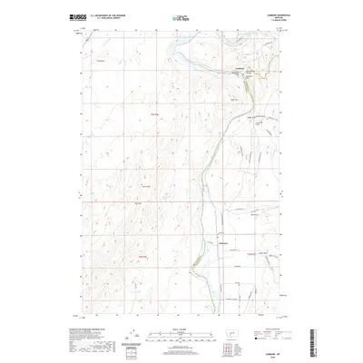 2020 Lombard2020 Print · USGSCovers Gallatin County, including Clarkston, Broadwater County, and other nearby areas
 - 2020 Map of Deer Park, 2020 Print
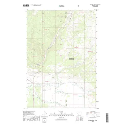
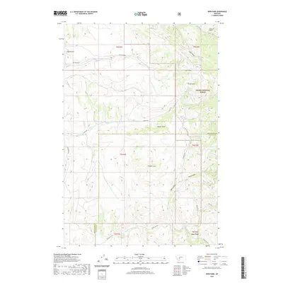 2020 Deer Park2020 Print · USGSCovers Gallatin County, including Deer Park, Broadwater County, and other nearby areas
 - 2020 Map of West Yellowstone, 2020 Print
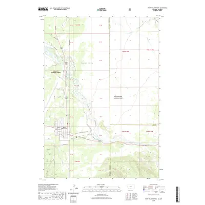 2020 West Yellowstone2020 Print · USGSCovers Gallatin County, including West Yellowstone, Park County, and other nearby areas
 - 2020 Map of Hebgen Dam, 2020 Print
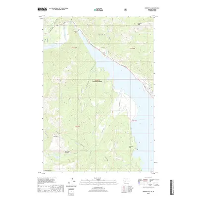 2020 Hebgen Dam2020 Print · USGSCovers Gallatin County, including Kirkwood, Clark Springs, and other nearby areas
 - 2020 Map of Maudlow, 2020 Print
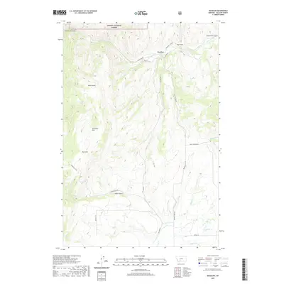 2020 Maudlow2020 Print · USGSCovers Gallatin County, including Maudlow, United States, and other nearby areas
 - 2020 Map of Madison Arm, 2020 Print
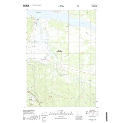 2020 Madison Arm2020 Print · USGSCovers Gallatin County, including Romsett Summer Home Area, Lakeshore Summer Home Area, and other nearby areas
 - 2020 Map of Sixmile Mountain, 2020 Print
 2020 Sixmile Mountain2020 Print · USGSCovers Gallatin County, including Broadwater County, United States, and other nearby areas
Showing maps 1-25 of 141
Top cities of Gallatin County
- Bozeman historical maps
- Belgrade historical maps
- Big Sky historical maps
- Three Forks historical maps
- Manhattan historical maps
- West Yellowstone historical maps
See more
Frequently asked questions
- What are the different types of historical maps available for Gallatin County?
- What is the oldest map of Gallatin County?
- Where can I purchase historical maps of Gallatin County for my home or office?
- Where can I download high-res historical maps of Gallatin County?
- Are there historical topographic maps available for Gallatin County?
- Is there historical aerial imagery available for Gallatin County?
- Where are historical maps of Gallatin County sourced from?