2020s Maps of Lake County, Montana
Explore 100 historic maps of Lake County from the 2020s. These maps offer a rare glimpse into what life looked like during the 2020s — showing old roads, neighborhoods, homes, and landmarks that have changed or disappeared over time.
Whether you're researching your family's past, planning a metal detecting trip, or studying how Lake County's landscape evolved across the 2020s, these high-resolution maps are a powerful tool for exploring the history of this region.
- Focus on a specific era: All maps on this page are from the 2020s, giving you a focused view of this time period.
- See what’s changed: Compare century-old streets, trails, and buildings to today's modern landscape using overlays and satellite layers.
- Research with precision: Use these maps for genealogy, historical research, land use analysis, or educational projects.
- View, download, or print: Maps are fully viewable online in high resolution, and can be downloaded or printed for your own records.
Start exploring Lake County's history through authentic maps from the 2020s. This is your window into the past.
Lake County, MT maps
(100)- 2020 Map of Saint Ignatius, 2020 Print
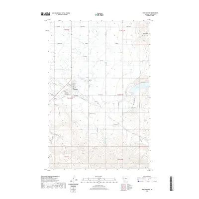 2020 Saint Ignatius2020 Print · USGSLake County comes into focus in the 2020s, showing the settlement of St. Ignatius at the foot of the Mission Range. Family historians can trace local landmarks like the Saint Ignatius Old Catholic Cem and the Pleasant View Cem alongside the complex Mission C Canal system.
 - 2020 Map of East Bay, 2020 Print
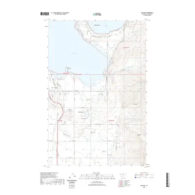 2020 East Bay2020 Print · USGSThe eastern shores of Flathead Lake and the rising Mission Range come alive in this recent survey. Researchers can trace the developed waterfronts of Polson and Finley Point alongside irrigation landmarks like the Polson 1 Canal and Bousquet Ditch.
 - 2020 Map of Elmo, 2020 Print
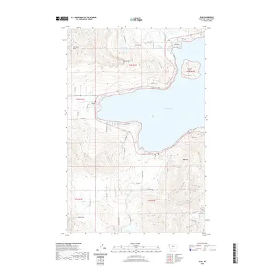 2020 Elmo2020 Print · USGSThe western shores of Flathead Lake come into focus in this contemporary survey of the Big Arm area. Researchers can trace local landmarks from the heights of Chief Cliff down to the lakeside settlements of Elmo and Dayton.
 - 2020 Map of Saint Marys Lake, 2020 Print
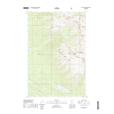 2020 Saint Marys Lake2020 Print · USGSThe high Mission Range and Flathead National Forest dominate this Montana landscape as it appeared in 2020. Local researchers and hikers can trace high-country landmarks like The Garden Wall, Mission Falls, and the shoreline of Saint Marys Lake.
 - 2020 Map of Hot Springs NE, 2020 Print
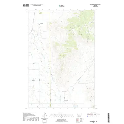 2020 Hot Springs NE2020 Print · USGSNorthwestern Montana at the turn of the decade showcases a landscape of high summits and managed water. Researchers can trace rural land divisions along Camp Aqua Rd or follow the path of the Camas B Canal near the Salish Mountains.
 - 2020 Map of Bull Island, 2020 Print
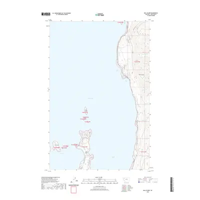 2020 Bull Island2020 Print · USGSThe eastern coastline of Flathead Lake meets the towering Mission Range in this modern survey. Researchers can trace lakeshore developments along E Shore Rd and locate distinctive landforms like Finley Point and Bull Island.
 - 2020 Map of Rollins, 2020 Print
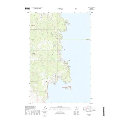 2020 Rollins2020 Print · USGSThe western shores of Flathead Lake are shown in detail during the early 2020s, highlighting the community of Rollins. Researchers can trace local landmarks like the Lakeside Airport, the heights of Mt Johns, and numerous islands including Shelter Island and Goose Island.
 - 2020 Map of Cedar Lake, 2020 Print
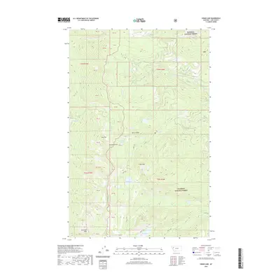 2020 Cedar Lake2020 Print · USGSThe high Mission Range in Lake County is captured in this recent survey of the Flathead National Forest. Wilderness travelers and researchers can trace the drainages of Cedar Lake, locate high summits like Moss Peak, and follow the path through Hellroaring Pass.
 - 2020 Map of Piper-Crow Pass, 2020 Print
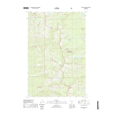 2020 Piper-Crow Pass2020 Print · USGSThe high alpine crest of the Mission Range straddles the county line in this contemporary survey of the Flathead National Forest. Researchers and hikers can trace the remote watersheds of Piper-Crow Pass and explore the high-altitude Jim Lakes Basin and Crow Creek Lakes.
 - 2020 Map of Peck Lake, 2020 Print
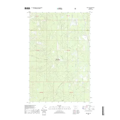 2020 Peck Lake2020 Print · USGSThe high peaks and drainages of Missoula and Lake counties are captured here in the contemporary era. Outdoor enthusiasts and researchers can trace the course of the Swan River and find remote landmarks like Peck Lake and the crest of the Mission Range.
 - 2020 Map of Niarada, 2020 Print
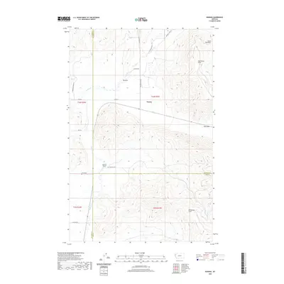 2020 Niarada2020 Print · USGSNorthwestern Montana’s mountain-valley boundary comes into focus in this contemporary survey of the Niarada area. Genealogists and historians can locate the Niarada Cem and trace rural routes through the Hog Heaven Range and the Big Draw.
 - 2020 Map of Sloan, 2020 Print
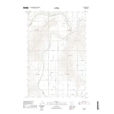 2020 Sloan2020 Print · USGSThe Flathead River valley comes alive in this 2020 record of western Montana, showing a landscape shaped by water and agriculture. Genealogists and historians can trace the rural infrastructure around Sloan, from the Sloan Bridge to irrigation landmarks like Hillside Reservoir and Hillside Ditch.
 - 2020 Map of Fort Connah, 2020 Print
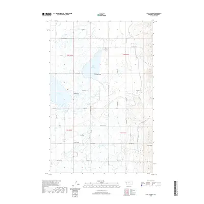 2020 Fort Connah2020 Print · USGSThe Flathead Valley landscape comes alive in this contemporary record of the valley floor and mountain front. Researchers can trace the historic site of Fort Connah, the waters of Ninepipe Reservoir, and the paths of the Mollman Pass Trl into the peaks.
 - 2020 Map of Hemlock Lake, 2020 Print
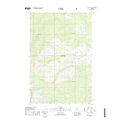 2020 Hemlock Lake2020 Print · USGSThe Mission Range and Flathead National Forest are shown in their modern wilderness state in this recent survey. Researchers can trace the high-mountain hydrology connecting Hemlock Lake, Turquoise Lake, and the Glacier Sloughs along the county divide.
 - 2020 Map of Swan Peak, 2020 Print
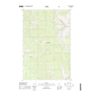 2020 Swan Peak2020 Print · USGSThe high crests of the Swan Range are documented here in the early twenty-first century as they span the Flathead and Lake County lines. Hikers and researchers can trace remote forest routes and alpine water features like Pony Lake, Union Peak, and Lion Cr.
 - 2020 Map of Gray Wolf Lake, 2020 Print
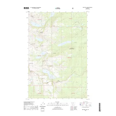 2020 Gray Wolf Lake2020 Print · USGSThe high peaks of the Mission Range are documented here in the early twenty-first century as part of the Flathead National Forest. Hikers and researchers can trace the alpine hydrology of Gray Wolf Lake, The Angels Bathing Pool, and the headwaters of the Swan River.
 - 2020 Map of Oliver Point, 2020 Print
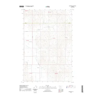 2020 Oliver Point2020 Print · USGSThe border of Lake and Sanders counties is defined by its high ridges and river valleys in the early twenty-first century. Map collectors can trace routes like Sagebrush Flats Trl and find vital water sources like Sullivan Spring.
 - 2020 Map of Markle Pass, 2020 Print
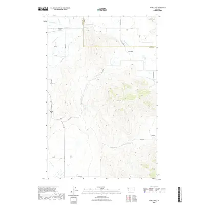 2020 Markle Pass2020 Print · USGSMarkle Pass and the Salish Mountains are documented here in 2020 on the border of Lake and Sanders counties. Genealogists and local historians can locate Markle Cem and trace the drainage patterns of the Little Bitterroot River and Schmitz Lakes.
 - 2020 Map of Mount Calowahcan, 2020 Print
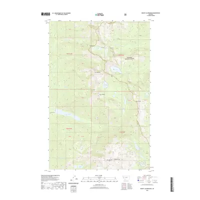 2020 Mount Calowahcan2020 Print · USGSThe Mission Range on the Lake and Missoula County border was surveyed here in recent years, documenting a wilderness of high peaks and alpine basins. Hikers and researchers can trace routes through Mollman Pass or locate remote water bodies like Disappointment Lake and Moon Lake.
 - 2020 Map of Ronan, 2020 Print
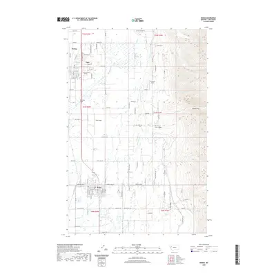 2020 Ronan2020 Print · USGSLake County and the Mission Valley come into focus in the early twenty-first century, showing the relationship between the Mission Range and the valley floor. Genealogists and historians can trace local landmarks like Salish Kootenai College, the Ronan Cem, and the complex Ronan A Canal system.
 - 2020 Map of Melton Ranch, 2020 Print
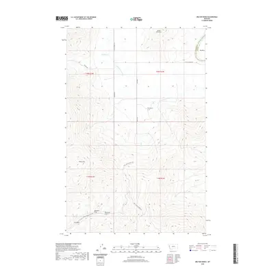 2020 Melton Ranch2020 Print · USGSLake County ranching country is captured here in the early twenty-first century as the landscape rises into the Salish Mountains. You can trace the drainage of Whiskey Cr and locate isolated landmarks like Melton Ranch and Ferry Basin.
 - 2020 Map of Ravalli, 2020 Print
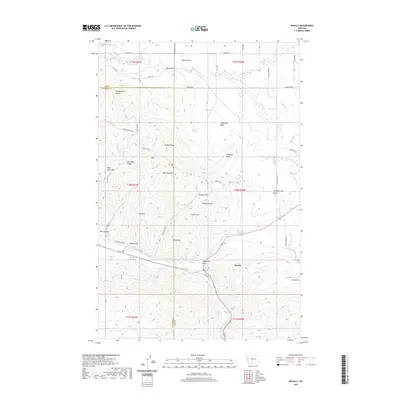 2020 Ravalli2020 Print · USGSThe settlement of Ravalli and the valley of the Jocko River are shown in this contemporary study of Lake County. Researchers can trace historical routes like the Old Freight Rd or locate natural landmarks such as Indian Springs and Turkeywoman Gulch.
 - 2020 Map of Wild Horse Island, 2020 Print
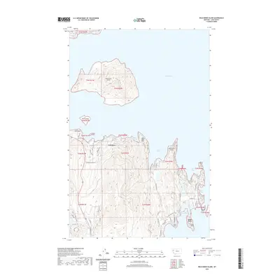 2020 Wild Horse Island2020 Print · USGSThe western shores of Flathead Lake are mapped in fine detail during the modern era, focusing on the island geography and shoreline communities. Researchers can trace landforms and local routes near Lindisfarne, Wild Horse Island, and Kings Point.
 - 2020 Map of Polson, 2020 Print
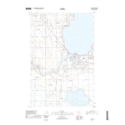 2020 Polson2020 Print · USGSPolson and the southern reaches of Flathead Lake are shown in this contemporary study of Lake County. Researchers can trace the complex irrigation network of the Polson B Canal or locate local history at the Lakeview Cem and Lake County Courthouse.
 - 2020 Map of Salmon Prairie, 2020 Print
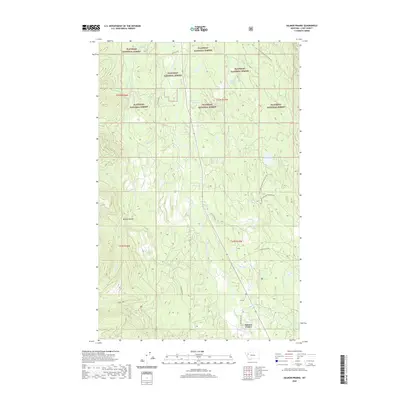 2020 Salmon Prairie2020 Print · USGSSalmon Prairie and the Swan River valley are captured in this recent survey, showcasing the remote landscape of Lake County. Researchers can trace forest access routes like Piper Creek Rd to find Shay Lake, Squeezer Meadow, and the Mission Range.
Showing maps 1-25 of 100
Top cities of Lake County
Frequently asked questions
- What are the different types of historical maps available for Lake County?
- What is the oldest map of Lake County?
- Where can I purchase historical maps of Lake County for my home or office?
- Where can I download high-res historical maps of Lake County?
- Are there historical topographic maps available for Lake County?
- Is there historical aerial imagery available for Lake County?
- Where are historical maps of Lake County sourced from?