2010s Maps of Liberty County, Montana
Explore 111 historic maps of Liberty County from the 2010s. These maps offer a rare glimpse into what life looked like during the 2010s — showing old roads, neighborhoods, homes, and landmarks that have changed or disappeared over time.
Whether you're researching your family's past, planning a metal detecting trip, or studying how Liberty County's landscape evolved across the 2010s, these high-resolution maps are a powerful tool for exploring the history of this region.
- Focus on a specific era: All maps on this page are from the 2010s, giving you a focused view of this time period.
- See what’s changed: Compare century-old streets, trails, and buildings to today's modern landscape using overlays and satellite layers.
- Research with precision: Use these maps for genealogy, historical research, land use analysis, or educational projects.
- View, download, or print: Maps are fully viewable online in high resolution, and can be downloaded or printed for your own records.
Start exploring Liberty County's history through authentic maps from the 2010s. This is your window into the past.
Liberty County, MT maps
(111)- 2011 Map of North Lothair School, 2011 Print
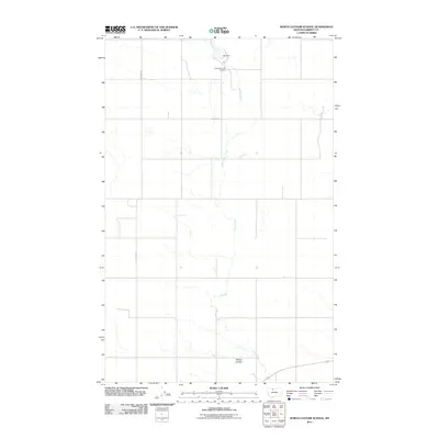 2011 North Lothair School2011 Print · USGSLiberty County in 2011 reveals a landscape of energy production and rural prairie life during the early twenty-first century. Genealogists and historians can trace local landmarks like Utopia Gas and Oil Field, Laas Dam, and the course of Eagle Creek.
 - 2011 Map of Pondera School, 2011 Print
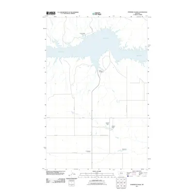 2011 Pondera School2011 Print · USGSLiberty County's high plains meet the shores of the Marias River reservoir in this early twenty-first-century survey. Researchers can trace the footprint of the Pondera School and explore the rugged coast of Lake Elwell near Bootlegger Trl.
 - 2011 Map of Tiber Dam, 2011 Print
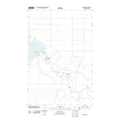 2011 Tiber Dam2011 Print · USGSLiberty County's high plains meet the engineering of the Marias River in the early twenty-first century. Outdoor enthusiasts and local researchers can trace the roads to Lake Elwell, locating Tiber Dam Camp, the Tiber Dam Airport, and the crossing at Pugsley Bridge.
 - 2011 Map of Hawley Hill, 2011 Print
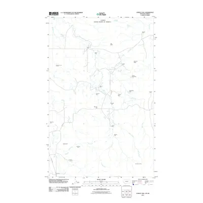 2011 Hawley Hill2011 Print · USGSThe Montana-Alberta borderlands are captured here in a period of ranching and energy production. Genealogists and historians can trace family holdings like Iverson and Dolezal or locate the Whitlash Gas and Oil Field and Mount Brown Mine.
 - 2011 Map of Berkholder Reservoir, 2011 Print
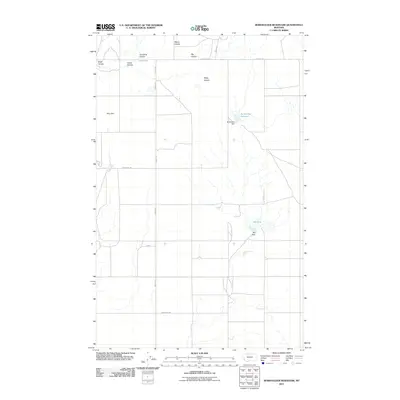 2011 Berkholder Reservoir2011 Print · USGSLiberty County in the early twenty-first century remains a landscape of managed water and rural homesteads. Genealogists and local historians can trace the foundations of this ranching community through the locations of the Hawthorne School and Blair Ranch.
 - 2011 Map of Blair Ranch, 2011 Print
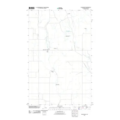 2011 Blair Ranch2011 Print · USGSLiberty County ranchlands are detailed here in the early twenty-first century. Researchers can trace land use through local landmarks like Blair Ranch, the Grandview Oil and Gas Field, and the historic Old Whitlash Freight Rd.
 - 2011 Map of Tiber, 2011 Print
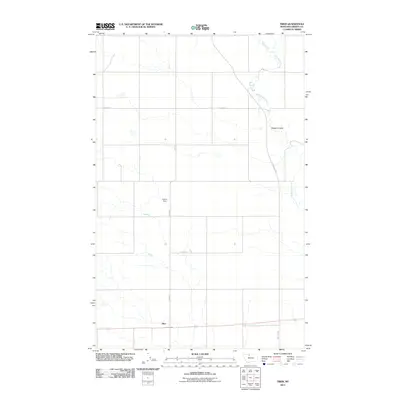 2011 Tiber2011 Print · USGSTiber and the surrounding high plains of Liberty County are captured here in the early twenty-first century. Genealogists and local historians can trace the rural road networks like Thielman Rd and locate landmarks such as Cramer Dam or Badger Coulee.
 - 2011 Map of Knees NE, 2011 Print
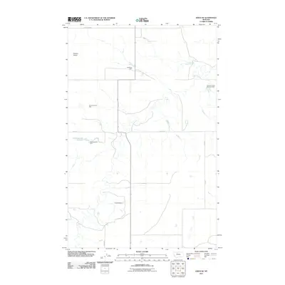 2011 Knees NE2011 Print · USGSThe Montana prairie of Chouteau County is captured here in the early twenty-first century, showing a landscape shaped by water management. You can locate family landmarks like St Olaf Church and curiously named water works such as Kneeded Dam or Gladiolus Dam.
 - 2011 Map of Sollid School, 2011 Print
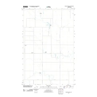 2011 Sollid School2011 Print · USGSChouteau County ranching country is mapped here in the early twenty-first century, showing a landscape shaped by water and family legacies. Researchers can locate the Golden West Cemetery, the site of Sollid School, and St Olaf Church.
 - 2011 Map of Bingham Lake, 2011 Print
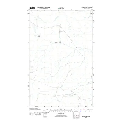 2011 Bingham Lake2011 Print · USGSLiberty County ranchlands meet the Canadian border in this early twenty-first-century survey of the high plains. Genealogists and historians can locate family-named landmarks like the Old Laird Ranch, Old Banks Place, and the extensive Flat Coulee Oil and Gas Field.
 - 2011 Map of Lothair SW, 2011 Print
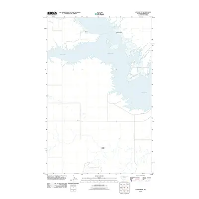 2011 Lothair SW2011 Print · USGSLiberty County's high plains meet the expansive waters of the reservoir in the early twenty-first century. Genealogists and local researchers can trace the rural road network including Broadhurst Rd and geographic landmarks like Bishop Coulee and Lake Elwell.
 - 2011 Map of Uphill Creek, 2011 Print
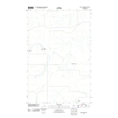 2011 Uphill Creek2011 Print · USGSLiberty County, Montana, is captured in the early twenty-first century as a landscape of rural communal living and careful water management. Genealogists and local historians can trace the grounds of Riverview Colony and land features like Uphill Creek and Alkali Springs Coulee.
 - 2011 Map of Sagebrush Coulee, 2011 Print
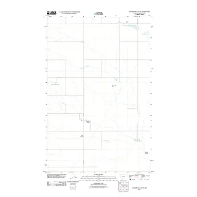 2011 Sagebrush Coulee2011 Print · USGSLiberty County's dryland landscape is documented here in the early twenty-first century, showing a complex network of coulees and reservoirs. Researchers can trace land use through Walden Reservoir, Kamerzell Dam, and Stewart Coulee.
 - 2011 Map of Grassy Butte, 2011 Print
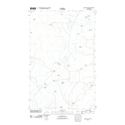 2011 Grassy Butte2011 Print · USGSThe northern Montana plains near the Sweetgrass Hills appear here as a land of ranches and remote buttes. Genealogists and local historians can locate the Old Indian Cemetery and trace family holdings like the T C Morris Ranch or the Gold Butte Mine.
 - 2011 Map of Haystack Butte, 2011 Print
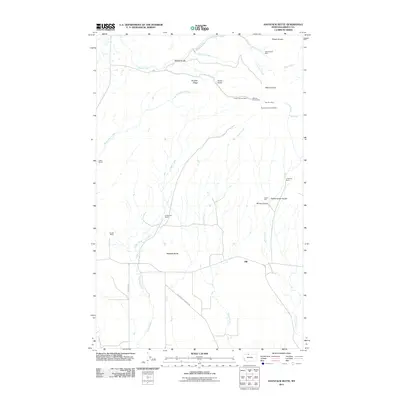 2011 Haystack Butte2011 Print · USGSLiberty and Hill Counties are documented here in the early twenty-first century, showing a high-plains landscape shaped by ranching and resource extraction. Researchers can locate family-named landmarks like Hofer Ranch and historic mining sites such as Brown Eyed Queen Mine and Gannion Mine.
 - 2011 Map of McCarters Lake SE, 2011 Print
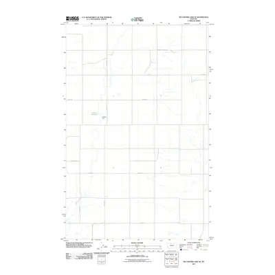 2011 McCarters Lake SE2011 Print · USGSLiberty County ranching country is mapped here in the early twenty-first century, showing a landscape defined by water management and rural education. Genealogists can locate Blair Ranch and historical local landmarks like Hawthorne School and the Childers Dam.
 - 2011 Map of Lakey Ranch, 2011 Print
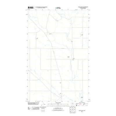 2011 Lakey Ranch2011 Print · USGSLiberty County ranching culture is documented here in the early twenty-first century, showing the isolation and organization of Montana's high plains. Researchers can trace family-named lands like Lyders Ranch, Skari Ranch, and Hawks Ranch.
 - 2011 Map of Whitlash, 2011 Print
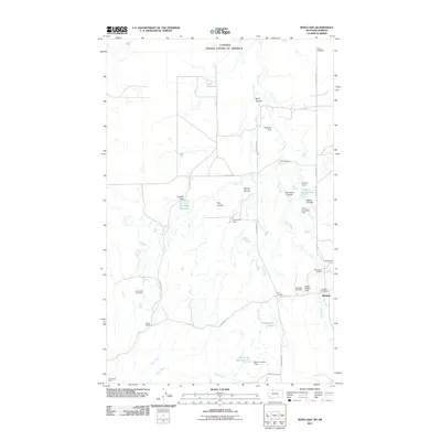 2011 Whitlash2011 Print · USGSLiberty County ranching and the Canadian border meet in this 2011 survey of the northern plains. Local researchers can trace family holdings at Parsell Ranch and Brown Ranch, or locate the Whitlash Post Office and Whitlash Cemetery in the heart of the community.
 - 2011 Map of Chester NE, 2011 Print
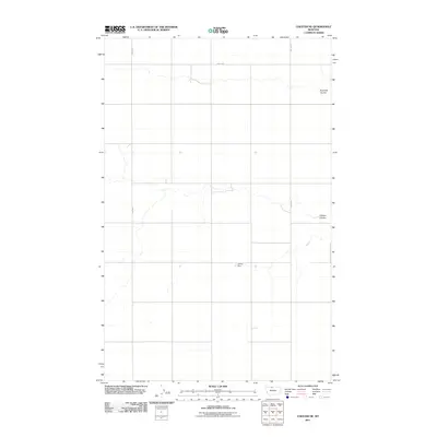 2011 Chester NE2011 Print · USGSHill County at the start of the 2010s shows a landscape dominated by open prairie and remote drainage basins. Genealogists and historians can trace the paths of Fourmile Coulee and O'Brien Coulee, or locate local landmarks like James Dam.
 - 2011 Map of Bobcat Coulee NE, 2011 Print
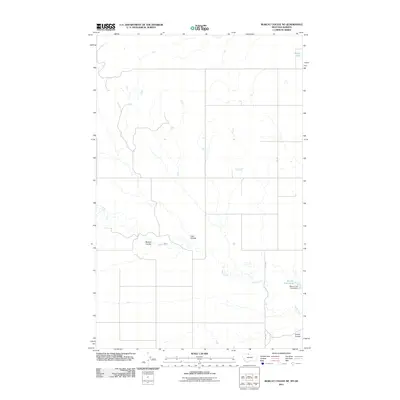 2011 Bobcat Coulee NE2011 Print · USGSHill County at the Montana-Alberta border is captured here in the early twenty-first century, showing a remote landscape of deep drainage coulees. Researchers can trace land features and water improvements like Wolery Fish Pond, Lost Coulee, and Silver Lake.
 - 2011 Map of Circle Bridge, 2011 Print
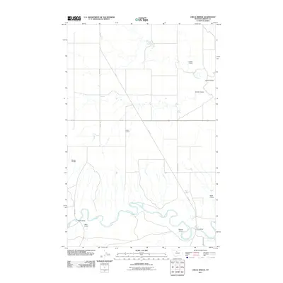 2011 Circle Bridge2011 Print · USGSLiberty County remains a land of wide-open plains and winding river breaks in the early twenty-first century. Genealogists and local historians can trace family ties at the Erickson Cemetery or locate crossings like Moffat Bridge and Circle Bridge.
 - 2011 Map of Poverty Coulee SE, 2011 Print
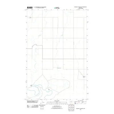 2011 Poverty Coulee SE2011 Print · USGSHill County at the beginning of the twenty-first century reveals a vast agricultural landscape shaped by the Marias River and its tributaries. Local history enthusiasts can trace family-named landmarks and water features like Nahrgang Dam, Wolfe Coulee, and Kjar Coulee.
 - 2011 Map of Chester NW, 2011 Print
 2011 Chester NW2011 Print · USGSLiberty County's high plains are documented here in the early twenty-first century, showing the intersection of natural coulees and rural infrastructure. Researchers can trace land divisions along Laird Rd and landmarks like Adobe Ridge and Fourmile Coulee.
 - 2011 Map of Poverty Coulee NE, 2011 Print
 2011 Poverty Coulee NE2011 Print · USGSNorth Central Montana's agricultural heartland is documented here in the early twenty-first century. Genealogists and local historians can trace the landscape across Dobie Ridge and follow the routes of Black Coulee Rd and South Joplin Rd.
 - 2011 Map of Joplin, 2011 Print
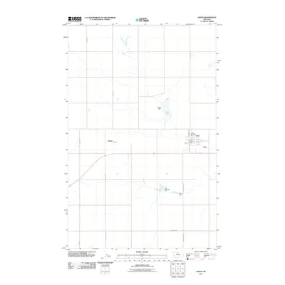 2011 Joplin2011 Print · USGSJoplin and the surrounding high plains are captured in this 2011 survey of Liberty County. Local history researchers can locate the Joplin Post Office, trace the boundaries of the Joplin Cemetery, or find the settlement of Buelow.
Showing maps 1-25 of 111
Top cities of Liberty County
Frequently asked questions
- What are the different types of historical maps available for Liberty County?
- What is the oldest map of Liberty County?
- Where can I purchase historical maps of Liberty County for my home or office?
- Where can I download high-res historical maps of Liberty County?
- Are there historical topographic maps available for Liberty County?
- Is there historical aerial imagery available for Liberty County?
- Where are historical maps of Liberty County sourced from?