2020s Maps of Liberty County, Montana
Explore 74 historic maps of Liberty County from the 2020s. These maps offer a rare glimpse into what life looked like during the 2020s — showing old roads, neighborhoods, homes, and landmarks that have changed or disappeared over time.
Whether you're researching your family's past, planning a metal detecting trip, or studying how Liberty County's landscape evolved across the 2020s, these high-resolution maps are a powerful tool for exploring the history of this region.
- Focus on a specific era: All maps on this page are from the 2020s, giving you a focused view of this time period.
- See what’s changed: Compare century-old streets, trails, and buildings to today's modern landscape using overlays and satellite layers.
- Research with precision: Use these maps for genealogy, historical research, land use analysis, or educational projects.
- View, download, or print: Maps are fully viewable online in high resolution, and can be downloaded or printed for your own records.
Start exploring Liberty County's history through authentic maps from the 2020s. This is your window into the past.
Liberty County, MT maps
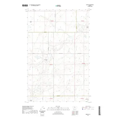
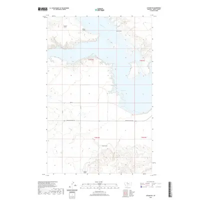
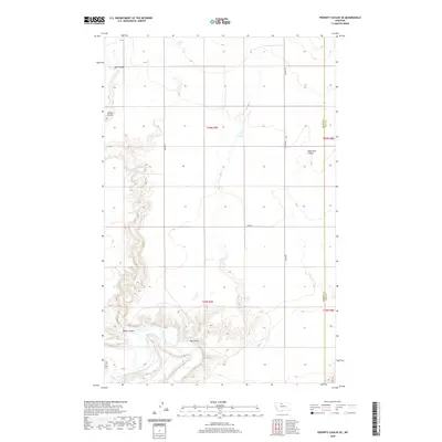
(74)- 2020 Map of Vaver Reservoir, 2020 Print
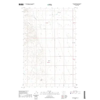 2020 Vaver Reservoir2020 Print · USGSCovers Liberty County, including United States, Montana, and other nearby areas
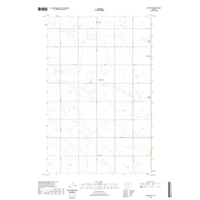
 - 2020 Map of Chester NW, 2020 Print
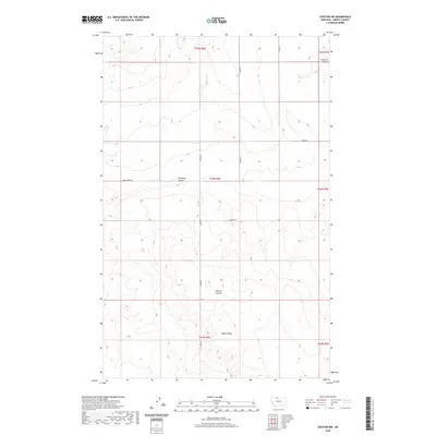 2020 Chester NW2020 Print · USGSCovers Liberty County, including United States, Montana, and other nearby areas
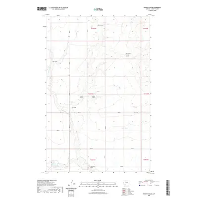
 - 2020 Map of Poverty Coulee NE, 2020 Print
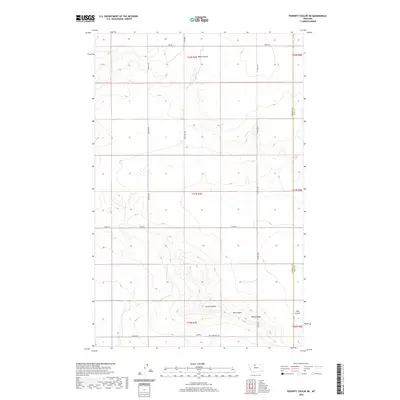 2020 Poverty Coulee NE2020 Print · USGSCovers Liberty County, including Hill County, United States, and other nearby areas
 - 2020 Map of Haystack Butte, 2020 Print
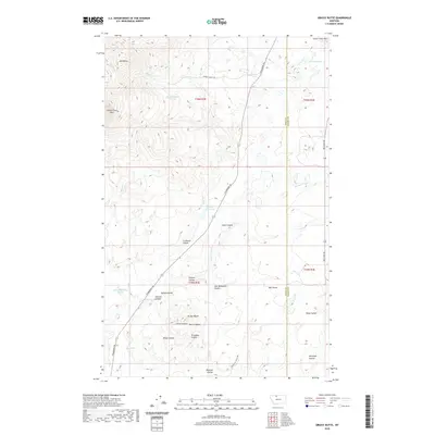
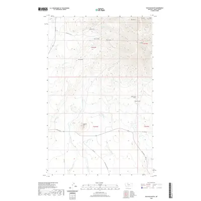 2020 Haystack Butte2020 Print · USGSCovers Liberty County, including Hill, United States, and other nearby areas
 - 2020 Map of Chester, 2020 Print
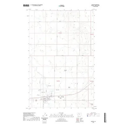 2020 Chester2020 Print · USGSCovers Liberty County, including Chester, United States, and other nearby areas
 - 2020 Map of Chester NE, 2020 Print
 2020 Chester NE2020 Print · USGSCovers Liberty County, including Hill County, United States, and other nearby areas
 - 2020 Map of Whitlash, 2020 Print
 2020 Whitlash2020 Print · USGSCovers Liberty County, including Whitlash, Toole County, and other nearby areas
 - 2020 Map of Knees NE, 2020 Print
 2020 Knees NE2020 Print · USGSCovers Liberty County, including Chouteau County, Toole County, and other nearby areas
 - 2020 Map of Goose Bill Butte NW, 2020 Print
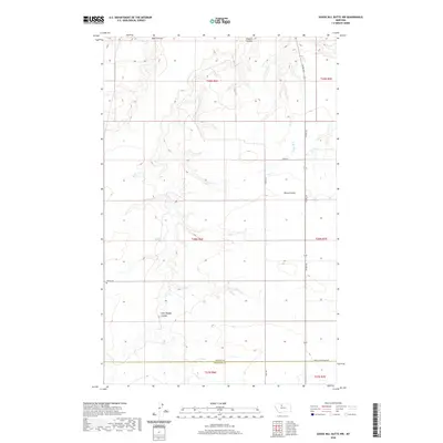 2020 Goose Bill Butte NW2020 Print · USGSCovers Liberty County, including Chouteau County, United States, and other nearby areas
 - 2020 Map of Tiber Dam, 2020 Print
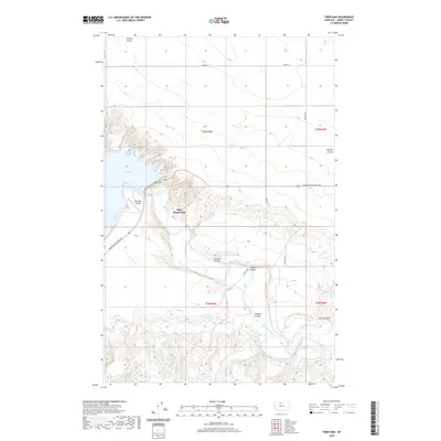 2020 Tiber Dam2020 Print · USGSCovers Liberty County, including Tiber Dam Camp, United States, and other nearby areas
 - 2020 Map of Bobcat Coulee SE, 2020 Print
 2020 Bobcat Coulee SE2020 Print · USGSCovers Liberty County, including Hill County, United States, and other nearby areas
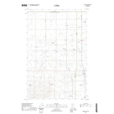
 - 2020 Map of Joplin, 2020 Print
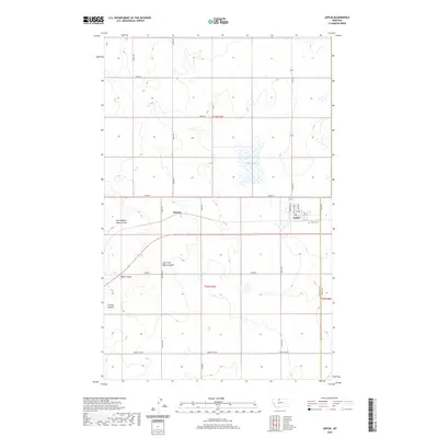 2020 Joplin2020 Print · USGSCovers Liberty County, including Joplin, Hill County, and other nearby areas
 - 2020 Map of Poverty Coulee, 2020 Print
 2020 Poverty Coulee2020 Print · USGSCovers Liberty County, including United States, Montana, and other nearby areas
 - 2020 Map of Lothair SW, 2020 Print
 2020 Lothair SW2020 Print · USGSCovers Liberty County, including United States, Montana, and other nearby areas
 - 2020 Map of Circle Bridge, 2020 Print
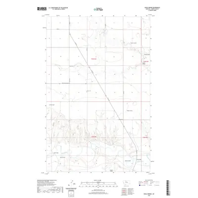 2020 Circle Bridge2020 Print · USGSCovers Liberty County, including United States, Montana, and other nearby areas
 - 2020 Map of Lakey Ranch, 2020 Print
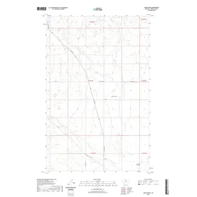 2020 Lakey Ranch2020 Print · USGSCovers Liberty County, including United States, Montana, and other nearby areas
 - 2020 Map of Poverty Coulee SE, 2020 Print
 2020 Poverty Coulee SE2020 Print · USGSCovers Liberty County, including Hill County, United States, and other nearby areas
 - 2020 Map of Berkholder Reservoir, 2020 Print
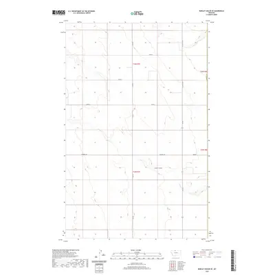
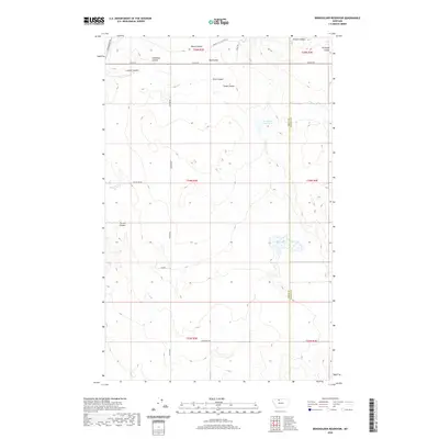 2020 Berkholder Reservoir2020 Print · USGSCovers Liberty County, including Toole County, United States, and other nearby areas
 - 2020 Map of McCarters Lake SE, 2020 Print
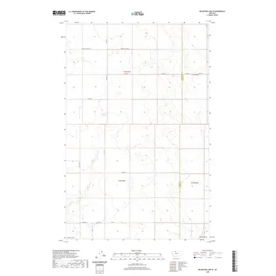 2020 McCarters Lake SE2020 Print · USGSCovers Liberty County, including Toole County, United States, and other nearby areas
 - 2020 Map of Sagebrush Coulee, 2020 Print
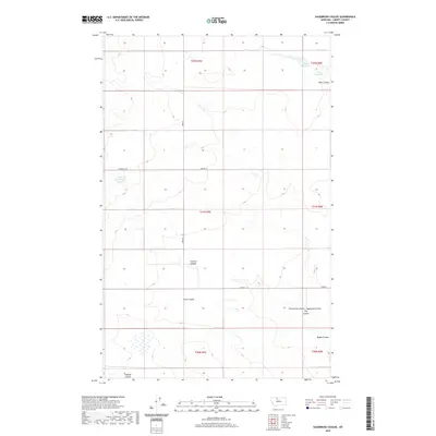 2020 Sagebrush Coulee2020 Print · USGSCovers Liberty County, including United States, Montana, and other nearby areas
 - 2020 Map of Hawley Hill, 2020 Print
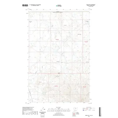 2020 Hawley Hill2020 Print · USGSCovers Liberty County, including County of Forty Mile, United States, and other nearby areas
 - 2020 Map of Lothair, 2020 Print
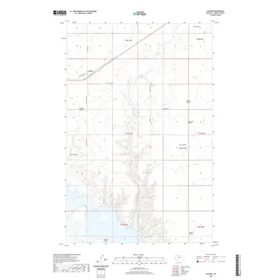 2020 Lothair2020 Print · USGSCovers Liberty County, including Lothair, United States, and other nearby areas
 - 2020 Map of Uphill Creek, 2020 Print
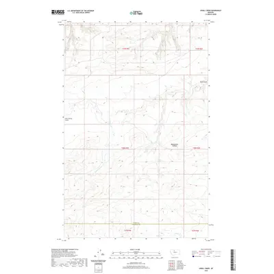 2020 Uphill Creek2020 Print · USGSCovers Liberty County, including Riverview Hutterite Colony, Riverview Colony, and other nearby areas
 - 2020 Map of Blair Ranch, 2020 Print
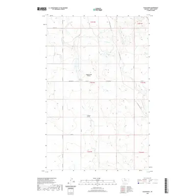 2020 Blair Ranch2020 Print · USGSCovers Liberty County, including Eagle Creek Colony, Eagle Creek Hutterite Colony, and other nearby areas
 - 2020 Map of Grassy Butte, 2020 Print
 2020 Grassy Butte2020 Print · USGSCovers Liberty County, including Hi-Line Hutterite Colony, Toole County, and other nearby areas
Showing maps 1-25 of 74
Top cities of Liberty County
Frequently asked questions
- What are the different types of historical maps available for Liberty County?
- What is the oldest map of Liberty County?
- Where can I purchase historical maps of Liberty County for my home or office?
- Where can I download high-res historical maps of Liberty County?
- Are there historical topographic maps available for Liberty County?
- Is there historical aerial imagery available for Liberty County?
- Where are historical maps of Liberty County sourced from?