2010s Maps of Pondera County, Montana
Explore 147 historic maps of Pondera County from the 2010s. These maps offer a rare glimpse into what life looked like during the 2010s — showing old roads, neighborhoods, homes, and landmarks that have changed or disappeared over time.
Whether you're researching your family's past, planning a metal detecting trip, or studying how Pondera County's landscape evolved across the 2010s, these high-resolution maps are a powerful tool for exploring the history of this region.
- Focus on a specific era: All maps on this page are from the 2010s, giving you a focused view of this time period.
- See what’s changed: Compare century-old streets, trails, and buildings to today's modern landscape using overlays and satellite layers.
- Research with precision: Use these maps for genealogy, historical research, land use analysis, or educational projects.
- View, download, or print: Maps are fully viewable online in high resolution, and can be downloaded or printed for your own records.
Start exploring Pondera County's history through authentic maps from the 2010s. This is your window into the past.
Pondera County, MT maps
(147)- 2011 Map of Mitten Lake, 2011 Print
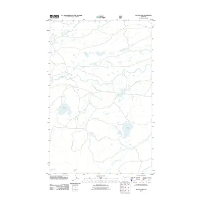 2011 Mitten Lake2011 Print · USGSGlacier County in the early twenty-first century is a landscape of glacial lakes and named trails that follow the natural drainage basins. Local history and geography buffs can trace routes like Heart Butte Rd and Running Crane Trl as they navigate the wetlands surrounding Mitten Lake and Horn Lake.
 - 2011 Map of Fish Lake, 2011 Print
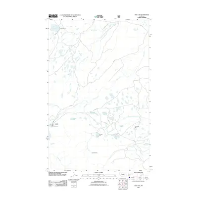 2011 Fish Lake2011 Print · USGSTeton County’s high-country water systems are captured in detail here during the early twenty-first century. Researchers can trace the complex network of mountain drainages and infrastructure, from the Swift Dam to isolated landmarks like Split Mountain and Hell Roaring Spring.
 - 2011 Map of Dutton NE, 2011 Print
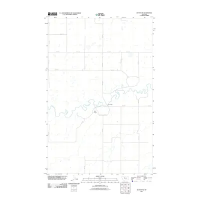 2011 Dutton NE2011 Print · USGSTeton County at the start of the 2010s shows a landscape of precision-grid ranch roads and river bends. Researchers can trace the winding Teton River to the Kerr Bridge crossing or locate family land near Hunt Coulee.
 - 2011 Map of Dutton NW, 2011 Print
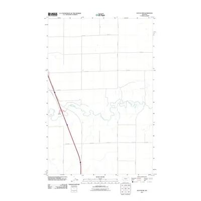 2011 Dutton NW2011 Print · USGSTeton County at the start of the 2010s shows a landscape of precision agriculture and river hydrology. Researchers can trace the winding course of the Teton River as it cuts through a grid of rural routes like 20th Rd NE and 12th Ln NE.
 - 2011 Map of Collins NW, 2011 Print
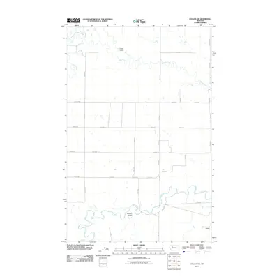 2011 Collins NW2011 Print · USGSThe Teton County plains are captured here in the early twenty-first century, showing a landscape defined by ranch roads and river bends. Trace the winding Teton River or locate family-named features like Kropp Coulee and Antelope Coulee.
 - 2011 Map of Timber Coulee North, 2011 Print
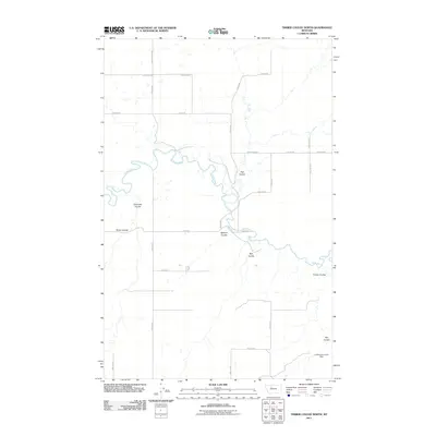 2011 Timber Coulee North2011 Print · USGSTeton County, Montana, is depicted in the early twenty-first century as a landscape defined by the winding Teton River and expansive ranch lands. Researchers can trace rural infrastructure along Faris School Rd or locate the Lumberjack Junior Dam.
 - 2011 Map of Crescent Cliff, 2011 Print
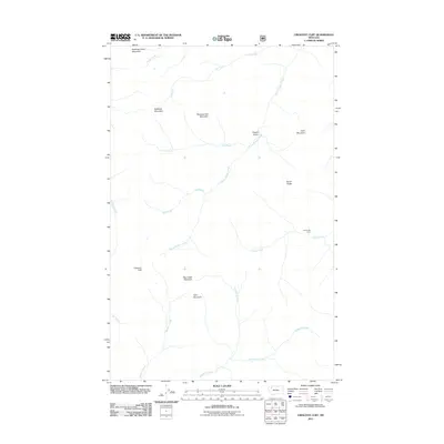 2011 Crescent Cliff2011 Print · USGSThe high Montana backcountry comes into focus during the early twenty-first century, showing a landscape defined by peaks and headwaters. Outdoorsmen and researchers can locate remote landmarks such as Lost Horse Camp, Crescent Cliff, and Bruin Peaks.
 - 2011 Map of Morningstar Mountain, 2011 Print
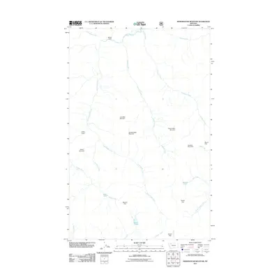 2011 Morningstar Mountain2011 Print · USGSFlathead County in the early twenty-first century remains a landscape of high summits and alpine drainages. You can trace the rugged transition between peaks like Spotted Eagle Mountain and remote water bodies such as Emerald Lake or Beaver Lake.
 - 2011 Map of Collins, 2011 Print
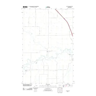 2011 Collins2011 Print · USGSTeton County’s prairie landscape is documented here in the early 2000s as the river and local roads define the rural layout. Genealogists and historians can trace the small settlements of Collins and Acme alongside geographic landmarks like Railroad Coulee and the Teton River.
 - 2011 Map of Sam George Hill, 2011 Print
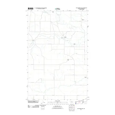 2011 Sam George Hill2011 Print · USGSPondera County's ranching country is captured here during the early twenty-first century, showing the enduring grid of prairie life. Researchers can locate specific homesteads like Graham Ranch and follow the seasonal flow of the Dry Fork Marias River.
 - 2011 Map of Rock City, 2011 Print
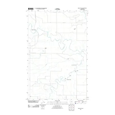 2011 Rock City2011 Print · USGSPondera County and the Blackfeet Indian Reservation are captured here in the early twenty-first century, showing a landscape defined by cattle ranching and coal mining history. Researchers can trace the riverbanks for Shields Crossing and Blair Crossing, or locate old workings at the Kennedy Mine and Slezak Mine.
 - 2011 Map of Belgian Hill, 2011 Print
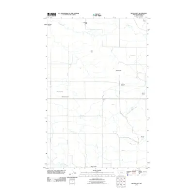 2011 Belgian Hill2011 Print · USGSPondera County at the turn of the decade is a landscape of expansive prairie irrigation and isolated landmarks. Genealogists and local historians can trace the rural road network to Sacred Heart Cemetery or follow the paths of the L Canal and Dry Fork Marias River.
 - 2011 Map of Dupuyer East, 2011 Print
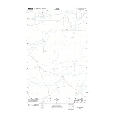 2011 Dupuyer East2011 Print · USGSNorth of the Marias River forks in the early twenty-first century, this Pondera County landscape is defined by its deep ranching roots and irrigation canals. Genealogists and local historians can trace the boundaries of the Birch Creek Colony or locate the historic Soberup Ranch and Dupuyer Post Office.
 - 2011 Map of Kuka Crossing, 2011 Print
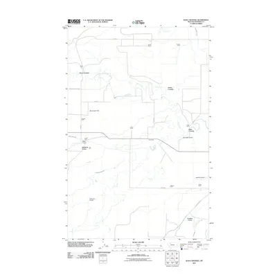 2011 Kuka Crossing2011 Print · USGSNorthwestern Montana ranching country is detailed here during the early twenty-first century, showing a landscape shaped by water and lineage. Genealogists can trace family holdings at Pierce Ranch and Wolstad Ranch or locate the historic Kuka Crossing.
 - 2011 Map of Gallup City, 2011 Print
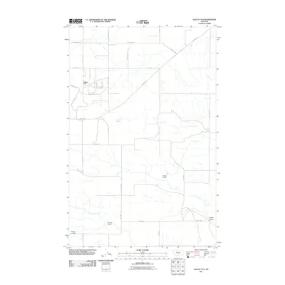 2011 Gallup City2011 Print · USGSPetroleum history and prairie drainage meet in Pondera County during the early twenty-first century. Researchers can trace the industrial footprint of the Pondera Oil Fld and locate vital water sources like Aldrich Spring and Healy Spring.
 - 2011 Map of Valier West, 2011 Print
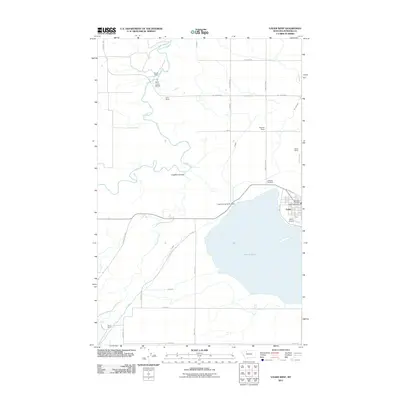 2011 Valier West2011 Print · USGSThe Pondera County plains meet the waters of Lake Frances in this recent study of Montana’s high-prairie irrigation and settlement. Genealogists and local historians can locate namesake properties like Goolin Ranch and family plots at Lakeview Cemetery.
 - 2011 Map of Agawam North, 2011 Print
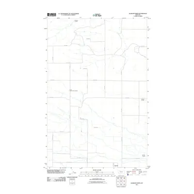 2011 Agawam North2011 Print · USGSTeton County ranch lands and irrigation networks are shown here in the early twenty-first century. Researchers can trace water management and industry through the Bynum Canal, the Pondera Oil Fld, and ranch sites like Smith Ranch.
 - 2011 Map of Heart Butte, 2011 Print
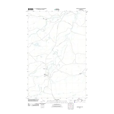 2011 Heart Butte2011 Print · USGSThis part of Pondera County was mapped in the early twenty-first century, centering on the small community of Heart Butte. Researchers can trace local lineage and land use through landmarks like Saint Anne Cemetery, the Heart Butte Post Office, and named paths like Spotted Wolf Trl.
 - 2011 Map of Flag Butte, 2011 Print
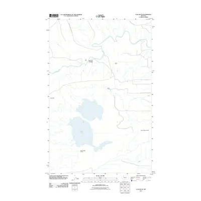 2011 Flag Butte2011 Print · USGSPondera County and the reservation border are captured here in the early 2000s, showing a landscape shaped by ranching and irrigation. Researchers can trace land use at Bird Ranch or locate the Kimball Mine and the water crossing at Edwards Crossing.
 - 2011 Map of Lone Man Coulee West, 2011 Print
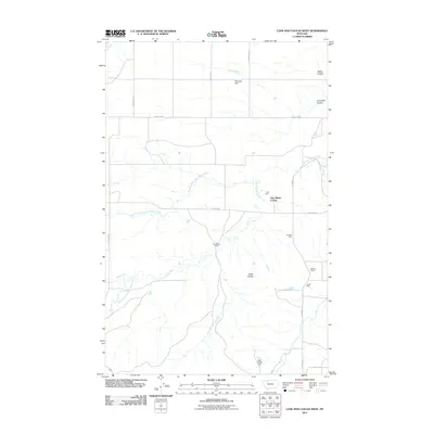 2011 Lone Man Coulee West2011 Print · USGSThis part of Pondera County was documented in the early twenty-first century, showcasing a landscape of communal colonies and isolated ranching operations. Researchers can trace the local mining history at the Hubbard Mine or explore the drainage systems around Miller Coulee and New Miami Colony.
 - 2011 Map of Lone Man Coulee East, 2011 Print
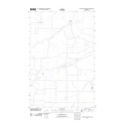 2011 Lone Man Coulee East2011 Print · USGSThe open ranges of Teton County are shown here in the early twenty-first century, defined by ranching and petroleum production. Researchers can trace land use through landmarks like Scoffern Ranch, the Pondera Oil Fld, and geological markers such as Castle Rock.
 - 2011 Map of Abbott Lake, 2011 Print
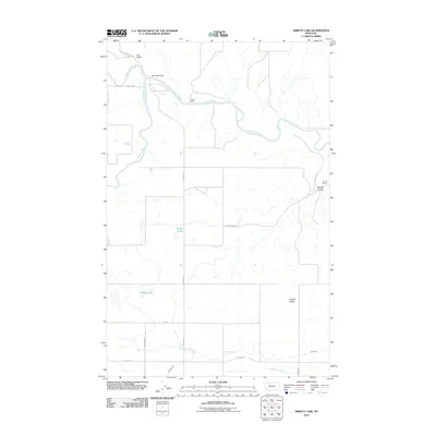 2011 Abbott Lake2011 Print · USGSGlacier County ranchlands are captured here in the early twenty-first century, centered on the confluence where the Marias River begins. Genealogists and local historians can locate Wilkins Ranch, the namesake Abbott Lake, and infrastructure like Sullivan Bridge.
 - 2011 Map of Scoffin Butte, 2011 Print
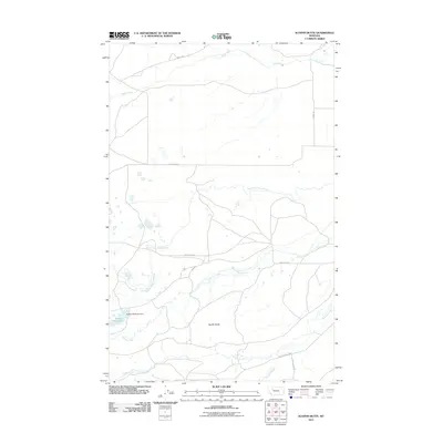 2011 Scoffin Butte2011 Print · USGSTeton County, Montana, is characterized by its vital water networks and rural access roads at the start of the twenty-first century. Researchers can trace the engineering of the Tedson Reservoir Dam and the courses of Birch Creek and Dupuyer Creek.
 - 2011 Map of Four Horns Lake, 2011 Print
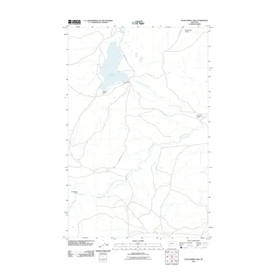 2011 Four Horns Lake2011 Print · USGSGlacier County in the early 21st century remains a landscape of open coulees and essential water systems. Researchers can trace the path of Blacktail Creek and locate family-named landmarks like Big Plum Coulee and Jackson Coulee.
 - 2011 Map of Swift Reservoir, 2011 Print
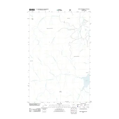 2011 Swift Reservoir2011 Print · USGSThe high peaks and watersheds of Flathead County are shown here in the early twenty-first century, centered on the Swift Reservoir. Researchers can trace old mountain routes and landmark summits like Feather Woman Mountain and Major Steele Backbone.
Showing maps 1-25 of 147
Top cities of Pondera County
Frequently asked questions
- What are the different types of historical maps available for Pondera County?
- What is the oldest map of Pondera County?
- Where can I purchase historical maps of Pondera County for my home or office?
- Where can I download high-res historical maps of Pondera County?
- Are there historical topographic maps available for Pondera County?
- Is there historical aerial imagery available for Pondera County?
- Where are historical maps of Pondera County sourced from?