2020s Maps of Wibaux County, Montana
Explore 52 historic maps of Wibaux County from the 2020s. These maps offer a rare glimpse into what life looked like during the 2020s — showing old roads, neighborhoods, homes, and landmarks that have changed or disappeared over time.
Whether you're researching your family's past, planning a metal detecting trip, or studying how Wibaux County's landscape evolved across the 2020s, these high-resolution maps are a powerful tool for exploring the history of this region.
- Focus on a specific era: All maps on this page are from the 2020s, giving you a focused view of this time period.
- See what’s changed: Compare century-old streets, trails, and buildings to today's modern landscape using overlays and satellite layers.
- Research with precision: Use these maps for genealogy, historical research, land use analysis, or educational projects.
- View, download, or print: Maps are fully viewable online in high resolution, and can be downloaded or printed for your own records.
Start exploring Wibaux County's history through authentic maps from the 2020s. This is your window into the past.
Wibaux County, MT maps
(52)- 2020 Map of Wibaux, 2020 Print
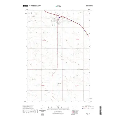 2020 Wibaux2020 Print · USGSWibaux and its surrounding ranchlands are captured here in the early twenty-first century as the administrative heart of the county. Researchers can trace family origins at the Wibaux County Cem or follow the historic path of the Custer Trl past landmarks like Baird Butte.
 - 2020 Map of Cap Rock, 2020 Print
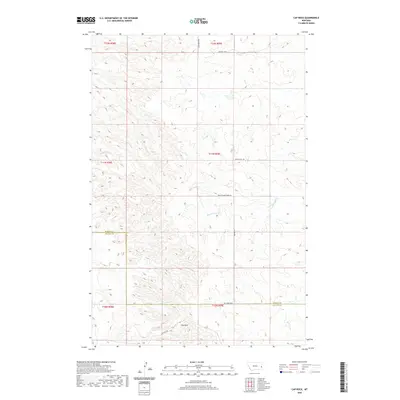 2020 Cap Rock2020 Print · USGSFallon and Wibaux Counties are surveyed here in the early twenty-first century, showing a high-plains landscape defined by its creek drainages and section lines. Researchers can trace land tracts near Cap Rock and the winding paths of Cedar Creek and Ash Creek.
 - 2020 Map of Freeman Creek, 2020 Print
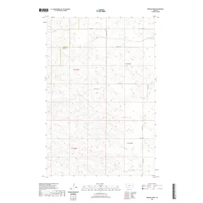 2020 Freeman Creek2020 Print · USGSDawson and Wibaux Counties appear as a sparse ranching landscape in this modern Montana survey. Genealogists and historians can trace property boundaries and seasonal drainages like Glendive Cr, Freeman Cr, and the local reach of Anvil Butte Rd.
 - 2020 Map of Graveyard Hill, 2020 Print
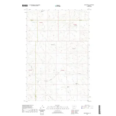 2020 Graveyard Hill2020 Print · USGSThis eastern Montana borderland where Prairie, Dawson, and Wibaux counties converge is documented here in the early twenty-first century. Researchers can trace land use through features like Little Garrison Reservoir, Gibson Ditch, and landmarks such as Graveyard Hill.
 - 2020 Map of Carlyle, 2020 Print
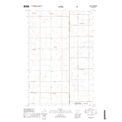 2020 Carlyle2020 Print · USGSThe high plains along the North Dakota-Montana border come into focus in this recent survey. Researchers can trace the rural layout of Carlyle and find local landmarks such as Carlyle Cem, Johnstone Dam, and the Little Missouri National Grassland.
 - 2020 Map of Rocking Chair Butte, 2020 Print
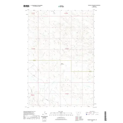 2020 Rocking Chair Butte2020 Print · USGSEastern Montana cattle country comes into focus in this recent survey of the Wibaux and Fallon county line. Researchers can trace the drainage of Cedar Creek or the long stretches of Anticline Road and Bar Nothing Road through the plains.
 - 2020 Map of Hodges, 2020 Print
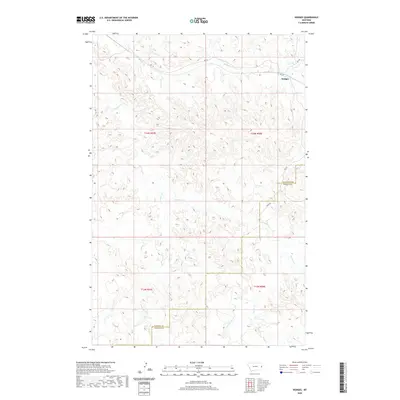 2020 Hodges2020 Print · USGSDawson and Wibaux counties meet in this 2020 map of the eastern Montana plains. Researchers can trace the drainage patterns of Hodges Cr and Glendive Cr or locate rural transit routes like Yates Rd and the settlement of Hodges.
 - 2020 Map of Ayer Spring NE, 2020 Print
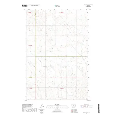 2020 Ayer Spring NE2020 Print · USGSThe intersection of Prairie, Wibaux, and Fallon counties is shown in this modern topographic study of eastern Montana's ranching country. Researchers can trace the drainage patterns of Cabin Creek and follow rural routes like Anticline Road and Cabin Creek Loop.
 - 2020 Map of Hodges SW, 2020 Print
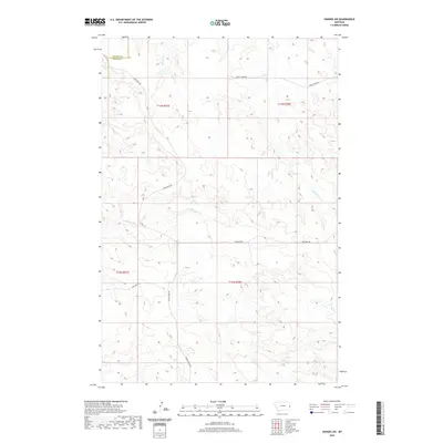 2020 Hodges SW2020 Print · USGSDawson and Wibaux counties are captured in this recent survey of eastern Montana's high plains ranching country. Researchers can trace the essential water routes of Gibson Ditch and Eastman Cr alongside local tracks like Bar Nothing Rd.
 - 2020 Map of Hodges SE, 2020 Print
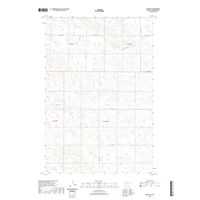 2020 Hodges SE2020 Print · USGSWibaux County's ranching landscape is captured here in the early twenty-first century, showing the intersection of rural life and rugged topography. Local researchers can trace old section lines and water rights along Horse Cr and S Fork Horse Cr or follow the paths of Anvil Butte Rd and Pine Unit Rd.
 - 2020 Map of Carlyle NW, 2020 Print
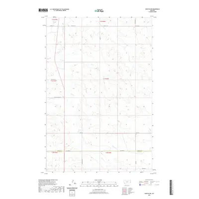 2020 Carlyle NW2020 Print · USGSEastern Montana ranch land near the Fallon and Wibaux county line is captured here in the early twenty-first century. Researchers can trace the paths of Beaver Cr and the historic Custer Camp Trl alongside local routes like Lamesteer Rd.
 - 2020 Map of Red Top Butte, 2020 Print
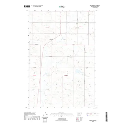 2020 Red Top Butte2020 Print · USGSSoutheastern Montana's high plains are documented here in the early twenty-first century, showing the enduring ranching landscape of Wibaux County. Local historians can trace family ties at Saint Philips Cem and locate landmarks like Red Top Butte and Horse Point.
 - 2020 Map of Duck Creek, 2020 Print
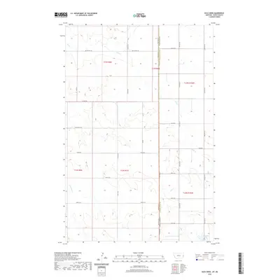 2020 Duck Creek2020 Print · USGSThe Montana-North Dakota borderlands are shown here in recent detail, where vast grazing lands meet the section-line grid. Trace family land along Red Top East Rd or locate rural water features like Johnstone Dam and Duck Cr.
 - 2020 Map of Savage SW, 2020 Print
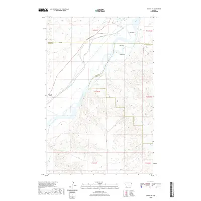 2020 Savage SW2020 Print · USGSRichland and Dawson counties meet along the high plains and river bottoms of eastern Montana in this modern survey. You can trace the historic Lewis and Clark Trl or locate river landmarks like Idiom Island and Snake Island.
 - 2020 Map of Cluster Buttes, 2020 Print
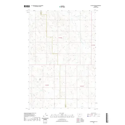 2020 Cluster Buttes2020 Print · USGSDawson County's High Plains landscape is captured here in the early twenty-first century, showing the drainage divide between the Yellowstone and Missouri watersheds. Map collectors can trace the remote paths of Box Elder Cr and the notable elevations of Cluster Buttes.
 - 2020 Map of Skaar NE, 2020 Print
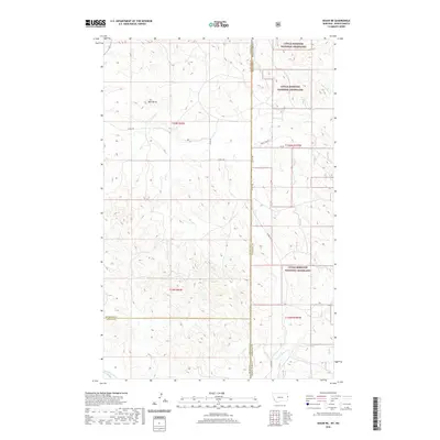 2020 Skaar NE2020 Print · USGSThe Montana and North Dakota borderlands come into focus here, showing the wide-open ranching country at the start of the twenty-first century. Family and local researchers can trace old section roads and watercourses like One-O-One Cr or find the prominent Bull Butte among the Little Missouri National Grassland.
 - 2020 Map of Skaar NW, 2020 Print
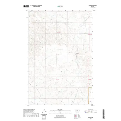 2020 Skaar NW2020 Print · USGSRichland County's high plains and coulees are captured here in the early twenty-first century, showing the remote landscape along the Wibaux county line. Genealogists and local historians can trace rural routes like Burma Rd and find landmarks such as Lindberg Hill and Elm Coulee.
 - 2020 Map of Savage SE, 2020 Print
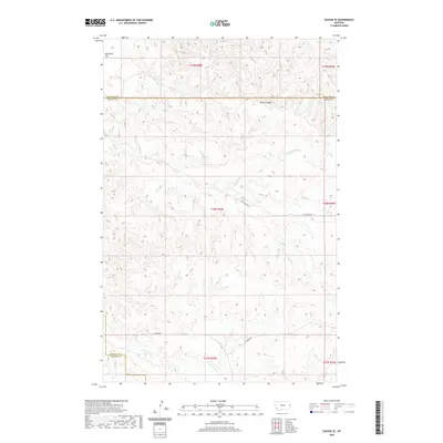 2020 Savage SE2020 Print · USGSEastern Montana's high prairie is captured here at the turn of the 2020s, spanning the borders of Richland and Wibaux counties. Researchers can trace the rugged topography of Devils Canyon and remote paths like Dry Creek Rd and Lufbord Rd.
 - 2020 Map of Cluster Buttes SE, 2020 Print
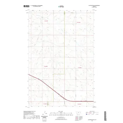 2020 Cluster Buttes SE2020 Print · USGSDawson and Wibaux counties are shown in the modern era as a landscape of vast ranching tracts and prairie drainages. Researchers can trace land divisions and local access routes like Dawson Trail Rd, Lone Tree Rd, and the headwaters of Krug Cr.
 - 2020 Map of Odland Dam NE, 2020 Print
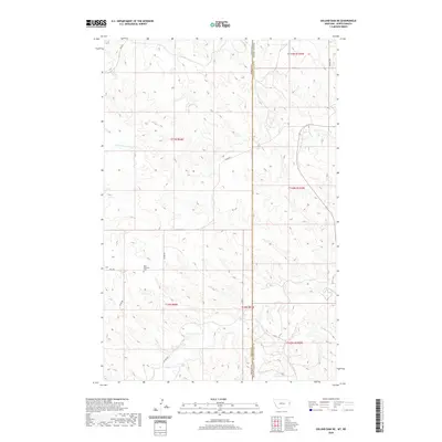 2020 Odland Dam NE2020 Print · USGSThe North Dakota-Montana borderlands are captured here in 2020, showing the rural section-line roads of Golden Valley County. Local historians can trace the remote Blue Mountain Cem and the drainage of Beaver Cr near Blue Mountain.
 - 2020 Map of Parson Creek, 2020 Print
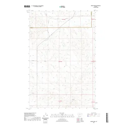 2020 Parson Creek2020 Print · USGSRichland County's high plains are documented here in the modern era, showing the network of rural roads and water sources. Researchers can locate the settlement of Beehive and trace named features like Blue Mtn and the secluded Lady Brown Spring.
 - 2020 Map of Odland Dam NW, 2020 Print
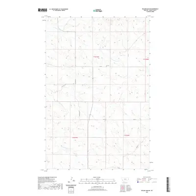 2020 Odland Dam NW2020 Print · USGSWibaux County's high plains are captured in this recent survey of eastern Montana's rural ranch lands. Genealogists and local historians can locate Been Cem and trace the paths of N Fork Cottonwood Cr and Sleepy Hollow Rd.
 - 2020 Map of Odland Dam SW, 2020 Print
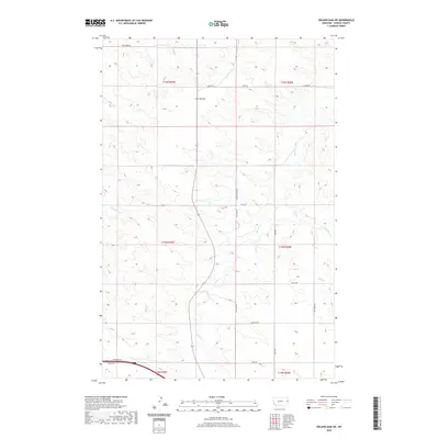 2020 Odland Dam SW2020 Print · USGSWibaux County's eastern Montana ranchlands are documented here in the early twenty-first century, showing the enduring rural layout of the region. Local history researchers can trace family-named routes and landmarks like Four Buttes, Ohnstad Rd, and Beaver Cr.
 - 2020 Map of Beach West, 2020 Print
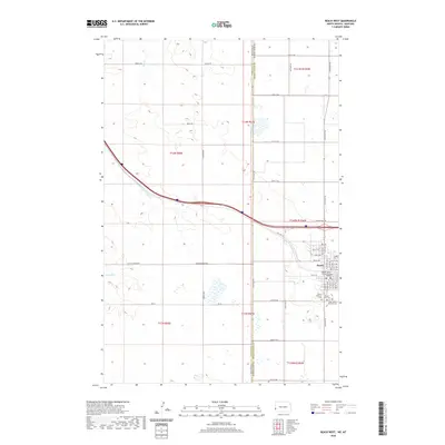 2020 Beach West2020 Print · USGSThe western edge of North Dakota is captured here in the early twenty-first century, centered on the county seat of Beach. Genealogists and local historians can trace family locations near the Beach City Cem or follow the path of Old Hwy 10.
 - 2020 Map of Odland Dam, 2020 Print
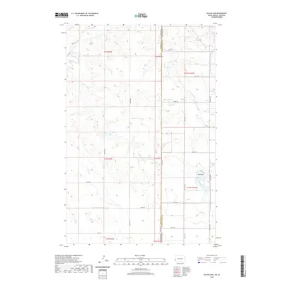 2020 Odland Dam2020 Print · USGSThe interstate border of North Dakota and Montana comes alive in this contemporary survey of the high plains. Researchers can trace land tracts along the Odland Dam and follow rural routes like Brenizer Rd and Steele Rd through the Little Beaver Creek valley.
Showing maps 1-25 of 52
Top cities of Wibaux County
Frequently asked questions
- What are the different types of historical maps available for Wibaux County?
- What is the oldest map of Wibaux County?
- Where can I purchase historical maps of Wibaux County for my home or office?
- Where can I download high-res historical maps of Wibaux County?
- Are there historical topographic maps available for Wibaux County?
- Is there historical aerial imagery available for Wibaux County?
- Where are historical maps of Wibaux County sourced from?