2000s (21st Century) Maps of Wibaux County, Montana
Explore 130 historic maps of Wibaux County from the 2000s (21st Century). These maps offer a rare glimpse into what life looked like during the 2000s — showing old roads, neighborhoods, homes, and landmarks that have changed or disappeared over time.
Whether you're researching your family's past, planning a metal detecting trip, or studying how Wibaux County's landscape evolved across the 2000s, these high-resolution maps are a powerful tool for exploring the history of this region.
- Focus on a specific era: All maps on this page are from the 2000s, giving you a focused view of this time period.
- See what’s changed: Compare century-old streets, trails, and buildings to today's modern landscape using overlays and satellite layers.
- Research with precision: Use these maps for genealogy, historical research, land use analysis, or educational projects.
- View, download, or print: Maps are fully viewable online in high resolution, and can be downloaded or printed for your own records.
Start exploring Wibaux County's history through authentic maps from the 2000s. This is your window into the past.
Wibaux County, MT maps
(130)- 2011 Map of Red Top Butte, 2011 Print
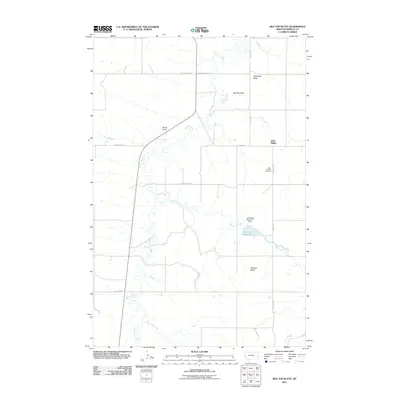 2011 Red Top Butte2011 Print · USGSWibaux County during the early twenty-first century shows a landscape of cattle-country landmarks and remote prairie outposts. Genealogists and local historians can locate Saint Phillip and the Saint Philips Cemetery, or trace old routes like Custer Trl and Last Chance Trl.
 - 2011 Map of Hodges SW, 2011 Print
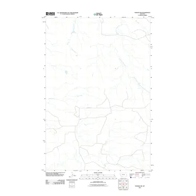 2011 Hodges SW2011 Print · USGSDawson County in the early twenty-first century shows a landscape shaped by prairie waterways and rural transit. Genealogists and local historians can trace the paths of Eastman Creek, the Gibson Ditch irrigation line, and Pine Unit Rd.
 - 2011 Map of Duck Creek, 2011 Print
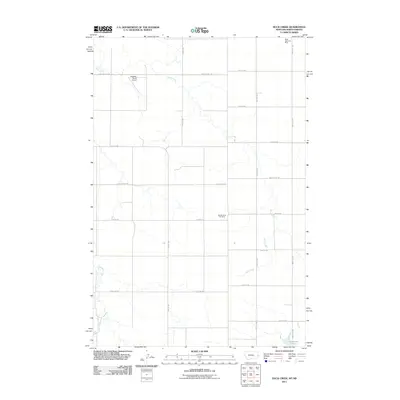 2011 Duck Creek2011 Print · USGSThe North Dakota-Montana border is documented here during the early 2000s, showing a landscape shaped by coal extraction and ranching. Researchers can trace the heritage of the plains through features like the Black Diamond Mine, the Johnstone Dam, and Hollstein Ranch Airport.
 - 2011 Map of Carlyle NW, 2011 Print
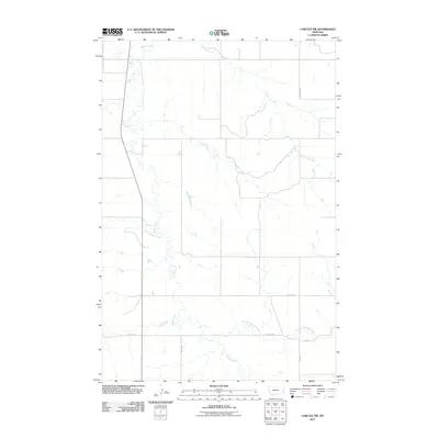 2011 Carlyle NW2011 Print · USGSFallon County in the early twenty-first century remains a landscape shaped by its waterways and prairie roads. Genealogists and historians can trace the paths of Beaver Creek and Lone Tree Creek or locate rural holdings along Lamesteer Rd.
 - 2011 Map of Hodges, 2011 Print
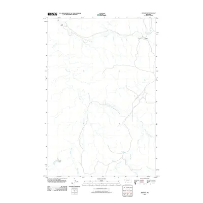 2011 Hodges2011 Print · USGSThe eastern Montana plains around the settlement of Hodges are documented here in the early twenty-first century. Genealogists and local historians can trace legacy ranching sites and water infrastructure like the Jonas Number 6 Dam, Long Siding, and Iona.
 - 2011 Map of Carlyle, 2011 Print
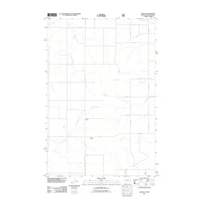 2011 Carlyle2011 Print · USGSThe borderlands of North Dakota and Montana are captured here in the early twenty-first century, showcasing a rural landscape of section-line roads and prairie streams. Genealogists can locate the Carlyle Cemetery and trace the paths of Bullion Creek and Williams Creek.
 - 2011 Map of Cap Rock, 2011 Print
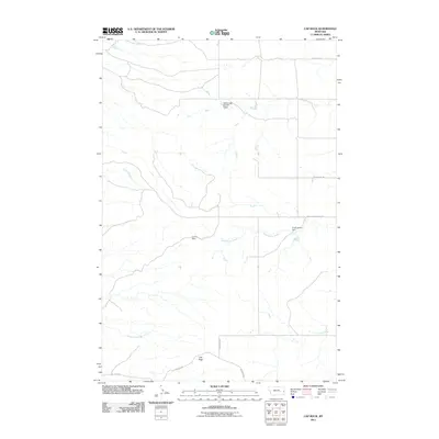 2011 Cap Rock2011 Print · USGSFallon County ranch lands are documented here in the early 2000s, showing a landscape defined by vital water management and livestock infrastructure. Researchers can trace local water features and rural routes like Virgil Larson Dam, Cap Rock, and Beacon Hill Rd.
 - 2011 Map of Ayer Spring NE, 2011 Print
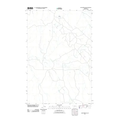 2011 Ayer Spring NE2011 Print · USGSFallon County at the start of the 2010s reveals a landscape where energy industry and natural drainages meet. Researchers can trace the development of the South Pine Oil Field and the winding paths of Cabin Creek and Horse Creek.
 - 2011 Map of Graveyard Hill, 2011 Print
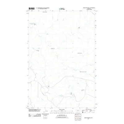 2011 Graveyard Hill2011 Print · USGSPrairie County ranchland is mapped in detail during the early 2010s, showing a landscape defined by water management and high plains terrain. Researchers can locate named landmarks such as Graveyard Hill, Little Garrison Reservoir, and the JJ Blakenship Number 3 Dam.
 - 2011 Map of Rocking Chair Butte, 2011 Print
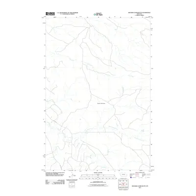 2011 Rocking Chair Butte2011 Print · USGSFallon County in the early twenty-first century is a landscape of vast rangelands and distinct geological rises. Researchers can trace the rugged drainage of Cedar Creek and identify the prominent elevation of Rocking Chair Butte near the intersection of Anticline Rd.
 - 2011 Map of Wibaux, 2011 Print
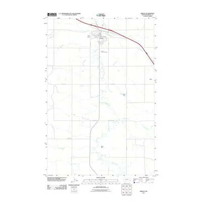 2011 Wibaux2011 Print · USGSWibaux and the surrounding plains are captured in detail during the early twenty-first century as the county seat continues its long-standing role as a prairie hub. Genealogists and local historians can trace the town's layout from the Wibaux County Cemetery to rural landmarks like Baird Butte and the historic Custer Trl.
 - 2011 Map of Freeman Creek, 2011 Print
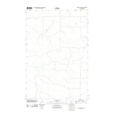 2011 Freeman Creek2011 Print · USGSDawson County, Montana, at the start of the 2010s shows a landscape defined by prairie watercourses and isolated rail infrastructure. Researchers can trace the path of the railroad through Heckman Siding or follow the routes of Hodges Creek and Glendive Creek.
 - 2011 Map of Beach West, 2011 Print
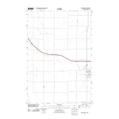 2011 Beach West2011 Print · USGSThe western edge of the North Dakota plains is captured here just after the turn of the millennium. Researchers can locate the historic Black Diamond Mine and trace the civic infrastructure in Beach, including the Beach Rural Fire Dept.
 - 2011 Map of Skaar, 2011 Print
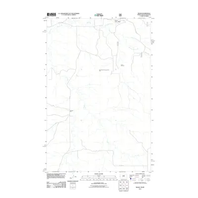 2011 Skaar2011 Print · USGSThe ranching country of western North Dakota is captured here in the early twenty-first century, showcasing a landscape of winding drainages and grazing lands. Researchers can trace local landmarks like Metcalf Ranch, White Elk Dam, and the small settlement of Skaar.
 - 2011 Map of Skaar NE, 2011 Print
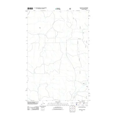 2011 Skaar NE2011 Print · USGSRichland County at the turn of the decade remains a landscape of wide-reaching family holdings and seasonal watercourses. Genealogists and local historians can trace the footprints of the Folkvord Ranch, Kupper Ranch, and landmarks like Bull Butte.
 - 2011 Map of Hodges SE, 2011 Print
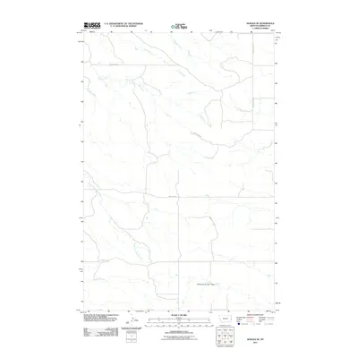 2011 Hodges SE2011 Print · USGSWibaux County in the early twenty-first century is characterized by its wide-open ranchlands and a precision-grid road network. Researchers can trace local water management at J Witkowske Number 1 Dam and follow rural routes like Horse Creek Rd.
 - 2011 Map of Odland Dam, 2011 Print
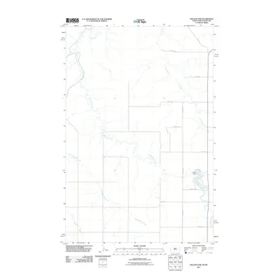 2011 Odland Dam2011 Print · USGSElmwood Township is captured in the early twenty-first century, showing a high-plains landscape organized by its vital water sources and section-line roads. Researchers can trace the winding course of Little Beaver Creek and locate the reservoir at Odland Dam along ODLAND DM.
 - 2011 Map of Odland Dam NW, 2011 Print
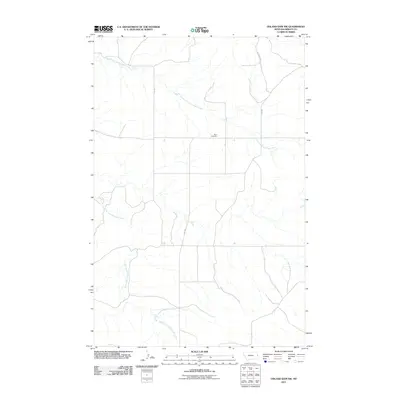 2011 Odland Dam NW2011 Print · USGSWibaux County's open ranchlands are documented in the early twenty-first century, showing a landscape defined by prairie drainages and isolated landmarks. Genealogists and researchers can locate the Been Cemetery and trace the paths of North Fork Cottonwood Creek and Hwy 281.
 - 2011 Map of Odland Dam SW, 2011 Print
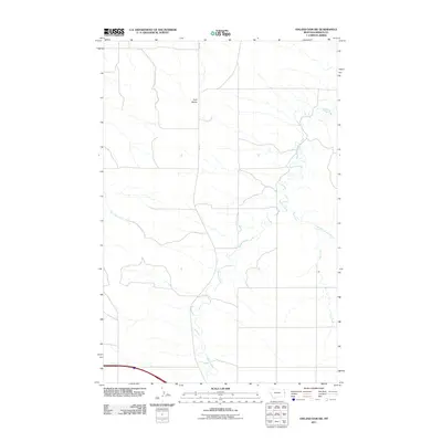 2011 Odland Dam SW2011 Print · USGSThe eastern Montana plains come into focus in this early 21st-century survey of rural Wibaux County. Researchers can trace the winding course of Beaver Creek or locate the distinctive landforms of Four Buttes along Rte 261.
 - 2011 Map of Odland Dam NE, 2011 Print
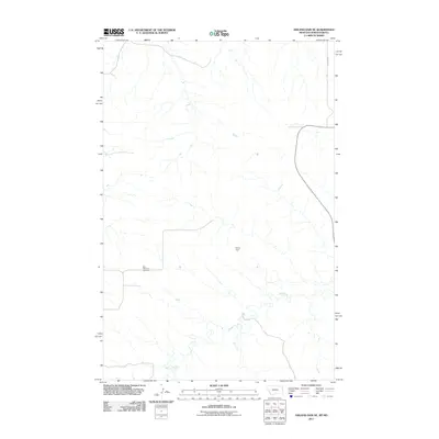 2011 Odland Dam NE2011 Print · USGSGolden Valley County ranch lands and prairie creeks are captured here in the early twenty-first century. Genealogists and local historians can locate the Blue Mountain Cemetery or trace the drainage of Beaver Creek and Hollar Dam.
 - 2011 Map of Savage SE, 2011 Print
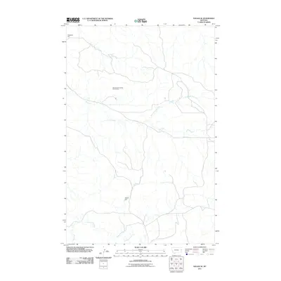 2011 Savage SE2011 Print · USGSRichland County, Montana, was documented in the early twenty-first century as a landscape shaped by the needs of the grazing industry. Researchers can trace land management through features like the Smith Creek Grazing District Dam, Temple Dam, and the broad expanse of Valentine Flat.
 - 2011 Map of Cluster Buttes SE, 2011 Print
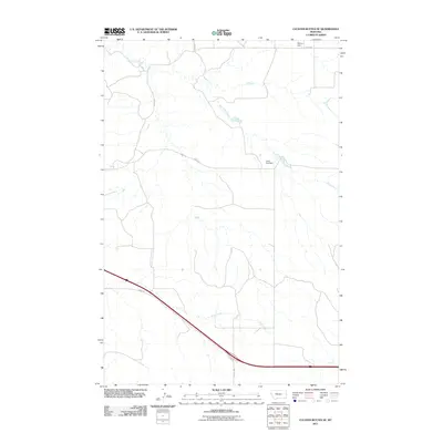 2011 Cluster Buttes SE2011 Print · USGSDawson County at the start of the 2010s reveals a landscape defined by prairie water management and rural road networks. Genealogists and historians can locate family-named landmarks like John Job Dam and Blyton Dam along the winding Box Elder Creek.
 - 2011 Map of Parson Creek, 2011 Print
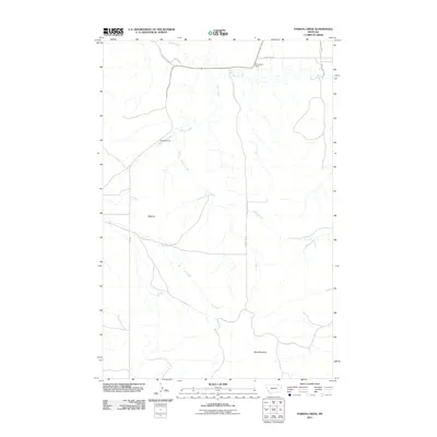 2011 Parson Creek2011 Print · USGSRichland County, Montana, is shown here in the early twenty-first century, capturing a quiet expanse of high-plains ranching country. Genealogists and local researchers can trace the rural landscape around Beehive or locate specific landmarks like Aluminum Dam and Blue Mountain.
 - 2011 Map of Savage SW, 2011 Print
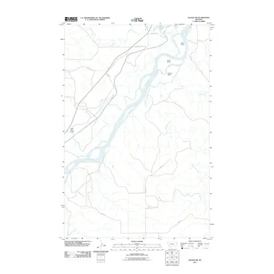 2011 Savage SW2011 Print · USGSThe braided channels of the Yellowstone River dominate this Richland County landscape in the early twenty-first century. Researchers can trace the riparian geography of Idiom Island and Snake Island or follow the paths of Burns Creek and War Dance Creek.
 - 2011 Map of Cluster Buttes, 2011 Print
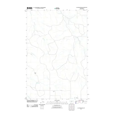 2011 Cluster Buttes2011 Print · USGSDawson County, Montana, is shown here in the early twenty-first century, featuring a rugged landscape shaped by the Cottonwood Creek drainage. Researchers can locate localized water works like Jet Set Dam and Blyton Dam or trace the rural paths of River Rd.
Showing maps 1-25 of 130
Top cities of Wibaux County
Frequently asked questions
- What are the different types of historical maps available for Wibaux County?
- What is the oldest map of Wibaux County?
- Where can I purchase historical maps of Wibaux County for my home or office?
- Where can I download high-res historical maps of Wibaux County?
- Are there historical topographic maps available for Wibaux County?
- Is there historical aerial imagery available for Wibaux County?
- Where are historical maps of Wibaux County sourced from?