1950s Maps of Nebraska
Explore 353 historic maps of Nebraska from the 1950s. These maps offer a rare glimpse into what life looked like during the 1950s — showing old roads, neighborhoods, homes, and landmarks that have changed or disappeared over time.
Whether you're researching your family's past, planning a metal detecting trip, or studying how Nebraska's landscape evolved across the 1950s, these high-resolution maps are a powerful tool for exploring the history of this region.
- Focus on a specific era: All maps on this page are from the 1950s, giving you a focused view of this time period.
- See what’s changed: Compare century-old streets, trails, and buildings to today's modern landscape using overlays and satellite layers.
- Research with precision: Use these maps for genealogy, historical research, land use analysis, or educational projects.
- View, download, or print: Maps are fully viewable online in high resolution, and can be downloaded or printed for your own records.
Start exploring Nebraska's history through authentic maps from the 1950s. This is your window into the past.
Nebraska maps
(353)- 1950 Map of Kansas City
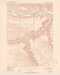
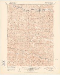
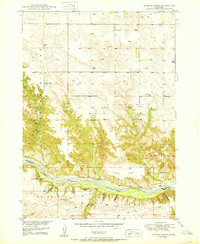
 1950 Kansas City1950 Print · USGSMid-century Kansas and Missouri are captured here during a period of industrial growth and shifting transportation. Genealogists and historians can trace rail lines like the Wabash RR or locate ancestral homes near the Potawatomi Indian Reservation and Horton.
 - 1950 Map of Bassett NW
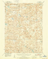
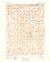
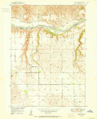
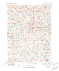
 1950 Bassett NW1950 Print · USGSThe Niobrara River valley in the early post-war years shows a landscape of remote ranches and deep canyons at the junction of three Nebraska counties. Genealogists can locate several family burial sites like Leonard Cem and rural landmarks such as Cuba Ch and the Camp Meeting Ground.2 unique versions available
 - 1950 Map of Flats
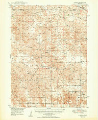
 1950 Flats1950 Print · USGSMcPherson County and the surrounding Sandhills were defined by isolated cattle operations and small rural school districts at the midpoint of the century. Genealogists and local historians can trace family-named sites like Stickney Ranch, Wood Ranch, and School No 45.2 unique versions available
 - 1950 Map of Linscott
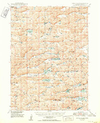
 1950 Linscott1950 Print · USGSThe Nebraska Sandhills come into focus in the late 1940s, showing a vast landscape of isolated school districts and rural post offices. Local historians can locate specific community centers like Climax Sch, Linscott, and the remote Eureka Valley Sch.2 unique versions available
 - 1950 Map of Spring Valley
 1950 Spring Valley1950 Print · USGSGrant County is a mosaic of prairie valleys and ranching outposts in this mid-century survey of the Sandhills. Trace the locations of rural schools and isolated homesteads like School No 8, Rose Hill Sch, and landmarks including Egan Lake.2 unique versions available
 - 1950 Map of Velma
 1950 Velma1950 Print · USGSArthur and Grant Counties were centers of the Nebraska Sandhills ranching economy in the late 1940s. Genealogists and local historians can trace family-named landmarks like Beekins Ranch, Velma, and scattered schoolhouses such as School No 40.2 unique versions available
 - 1950 Map of Twin Lakes
 1950 Twin Lakes1950 Print · USGSSheridan County's high plains and marshy basins are captured here at mid-century, documenting a landscape of isolated ranching outposts and rural districts. Genealogists can trace family footprints through numerous local landmarks like North Sch No 165, Spring Lake Camp, and Diamond Lake.2 unique versions available
 - 1950 Map of Norden
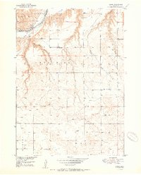
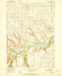
 1950 Norden1950 Print · USGSThe Niobrara River valley in the early fifties shows a rugged landscape of family-run cattle operations and scattered rural school districts. Genealogists can locate family holdings like Worth Ranch or McMara Ranch and burial sites at Sparks Cem.2 unique versions available
 - 1950 Map of Carns
 1950 Carns1950 Print · USGSRock County ranching country is captured here at mid-century, where the Niobrara River meets the drainages of the Sandhills. Researchers can trace the locations of several one-room schoolhouses like Mariaville Sch and Turkey Foot Sch, alongside the village of Carns.2 unique versions available
 - 1950 Map of Crescent Lake
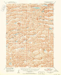
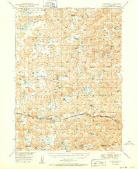
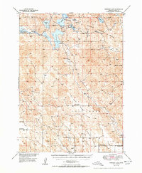 1950 Crescent Lake1950 Print · USGSGarden County, Nebraska, is seen here in the mid-twentieth century, centered on a massive network of wetlands and cattle country. Researchers can trace remote homesteads and landmarks like Eldred Camp, the Evergreen Ch, and the isolated Dogtown Flats Sch.3 unique versions available
 - 1950 Map of Whitman
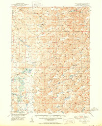
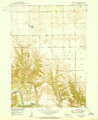
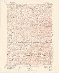
 1950 Whitman1950 Print · USGSMid-century Cherry County ranching culture is preserved here just as the post-war era was reshaping the Nebraska Sandhills. Genealogists and historians can trace the vast Rothwell Ranch, find the rural Red Mill School, and follow the Chicago Burlington and Quincy rail line.
 - 1950 Map of Thedford
 1950 Thedford1950 Print · USGSThedford and the surrounding Sandhills are captured here at mid-century, following the winding paths of the Middle Loup River and the Dismal River. Genealogists can trace a network of family-named rural schools including Florea Sch, Ewoldt Sch, and Warner Sch.2 unique versions available
 - 1950 Map of Riverview
 1950 Riverview1950 Print · USGSThe Niobrara River valley in northern Nebraska appears here at mid-century, split between the Rock and Keya Paha county lines. Researchers can trace rural life through the locations of the Riverview settlement and several outlying schoolhouses like Lamb Sch and School No 62.2 unique versions available
 - 1950 Map of George Lake
 1950 George Lake1950 Print · USGSGrant County ranching culture is on full display in this mid-century survey of the Nebraska sandhills around Hyannis. Genealogists can trace family holdings and rural landmarks like Merrihew Ranch, Locust Sch, and the isolated Lowes Camp.
 - 1950 Map of Carr Lake
 1950 Carr Lake1950 Print · USGSHooker County ranching and the high plains water network are captured in this mid-century survey. Genealogists can locate family-named landmarks and rural hubs like E Carr Ranch, Eclipse Ch, and the Tucker Sch along the Dismal River.2 unique versions available
 - 1950 Map of Storm Lake
 1950 Storm Lake1950 Print · USGSThe Nebraska Sandhills come alive in this mid-century survey of Garden and Morrill Counties, where isolated cattle ranches dot a landscape of endless prairie potholes. Genealogists and historians can locate legacy homesteads like Storm Lake Ranch and Hill Ranch or find the remote sites of School No 10.
 - 1950 Map of Meadville
 1950 Meadville1950 Print · USGSThe Niobrara River valley in Keya Paha County is shown here at mid-century, documenting a landscape of isolated farmsteads and rural townships. Genealogists can locate several historic schoolhouses including School No 87 and School No 42 near Meadville.2 unique versions available
 - 1950 Map of Arthur
 1950 Arthur1950 Print · USGSThe Nebraska Sandhills come into focus at mid-century, revealing a ranching landscape centered on the village of Arthur. Genealogists and historians can trace family-named landmarks like the Eymann Ranch and Anderberg Ranch or locate rural outposts like Meadow View Sch.2 unique versions available
 - 1950 Map of Spade Ranch
 1950 Spade Ranch1950 Print · USGSThe Nebraska Sandhills come into sharp focus mid-century, detailing a region of remote cattle ranching and high plains hydrology. Genealogists and historians can trace the network of rural schoolhouses and family-named landmarks like Spade Ranch, Hill Crest Sch, and McAlister Lake.2 unique versions available
 - 1950 Map of Longfellow Lake
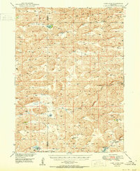
 1950 Longfellow Lake1950 Print · USGSGarden County ranching country is captured here during the mid-century, defined by the expansive Sandhills and the Crescent Lake National Wildlife Refuge. Researchers can trace rural school districts like School No 71 and family landmarks including Schmoker Valley and Potter Lake.3 unique versions available
 - 1950 Map of Huddle Table
 1950 Huddle Table1950 Print · USGSMid-century ranching life in northern Nebraska is preserved here as it appeared in 1950 along the river breaks. Genealogists and historians can locate several family landholdings like the Kirkpatrick Ranch and Chase Ranch, alongside rural landmarks such as Union Ch and School No 8.2 unique versions available
 - 1950 Map of Hire
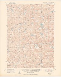
 1950 Hire1950 Print · USGSThe Nebraska Sandhills come into focus in the early fifties, where the Loup River branches converge at the Cherry and Hooker county lines. Genealogists can locate rural institutions like Cox Sch and the siding at Weir along the Chicago Burlington and Quincy rail line.3 unique versions available
 - 1950 Map of Mariaville
 1950 Mariaville1950 Print · USGSThe Niobrara River breaks through the Nebraska sandhills at mid-century, revealing a landscape of remote ranching and rural education. Genealogists and researchers can locate the Mariaville settlement, Simpson Cem, and schools like School No 69.2 unique versions available
 - 1950 Map of Lakeside
 1950 Lakeside1950 Print · USGSThe Nebraska Sandhills come into focus in the mid-century, showcasing a region defined by sprawling cattle operations and the railroad. Researchers can trace historic family-named properties like the John Cody Ranch and Star Ranch alongside the Chicago Burlington and Quincy line.2 unique versions available
 - 1950 Map of Halsey
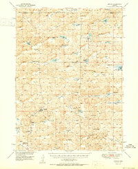
 1950 Halsey1950 Print · USGSThe Nebraska Sandhills meet a massive man-made woodland in this mid-century survey of Thomas and Blaine counties. Researchers can trace the rail corridor of the Chicago Burlington and Quincy through Halsey, the Scott Lookout Tower, and the local Rose Hill Sch.2 unique versions available
Showing maps 1-25 of 353
Top cities of Nebraska
- Omaha historical maps
- Lincoln historical maps
- Bellevue historical maps
- Grand Island historical maps
- Kearney historical maps
- Fremont historical maps
See more
Top counties of Nebraska
- Douglas County historical maps
- Lancaster County historical maps
- Sarpy County historical maps
- Hall County historical maps
- Buffalo County historical maps
- Dodge County historical maps
See more
Frequently asked questions
- What are the different types of historical maps available for Nebraska?
- What is the oldest map of Nebraska?
- Where can I purchase historical maps of Nebraska for my home or office?
- Where can I download high-res historical maps of Nebraska?
- Are there historical topographic maps available for Nebraska?
- Is there historical aerial imagery available for Nebraska?
- Where are historical maps of Nebraska sourced from?