2020s Maps of Nebraska
Explore 1,448 historic maps of Nebraska from the 2020s. These maps offer a rare glimpse into what life looked like during the 2020s — showing old roads, neighborhoods, homes, and landmarks that have changed or disappeared over time.
Whether you're researching your family's past, planning a metal detecting trip, or studying how Nebraska's landscape evolved across the 2020s, these high-resolution maps are a powerful tool for exploring the history of this region.
- Focus on a specific era: All maps on this page are from the 2020s, giving you a focused view of this time period.
- See what’s changed: Compare century-old streets, trails, and buildings to today's modern landscape using overlays and satellite layers.
- Research with precision: Use these maps for genealogy, historical research, land use analysis, or educational projects.
- View, download, or print: Maps are fully viewable online in high resolution, and can be downloaded or printed for your own records.
Start exploring Nebraska's history through authentic maps from the 2020s. This is your window into the past.
Nebraska maps
(1,448)- 2021 Map of Langdon, 2021 Print
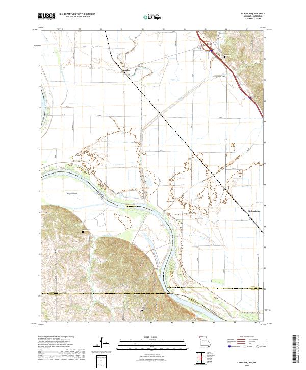 2021 Langdon2021 Print · USGSAtchison County at the Missouri-Nebraska border reveals a landscape shaped by the shifting currents of the river. Researchers can trace family history at Saint Deroin Cem or follow old watercourses like the Old Channel Nishnabotna River near Langdon.
 - 2021 Map of Corning, 2021 Print
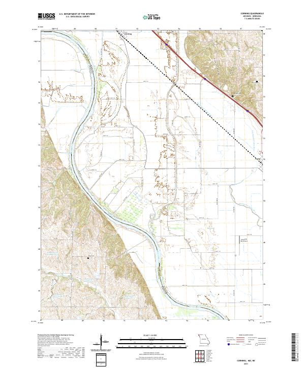 2021 Corning2021 Print · USGSThe Missouri-Nebraska borderlands along the Missouri River come into focus in this recent survey of the Holt County floodplain. Genealogists and local researchers can pinpoint family burial sites at Parrish Cem and Arago Cem or trace the winding Old Channel Tarkio River.
 - 2021 Map of Big Lake, 2021 Print
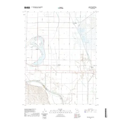 2021 Big Lake2021 Print · USGSCovers Nebraska, including Big Lake, Fortescue, and other nearby areas
 - 2021 Map of Saint Mary, 2021 Print
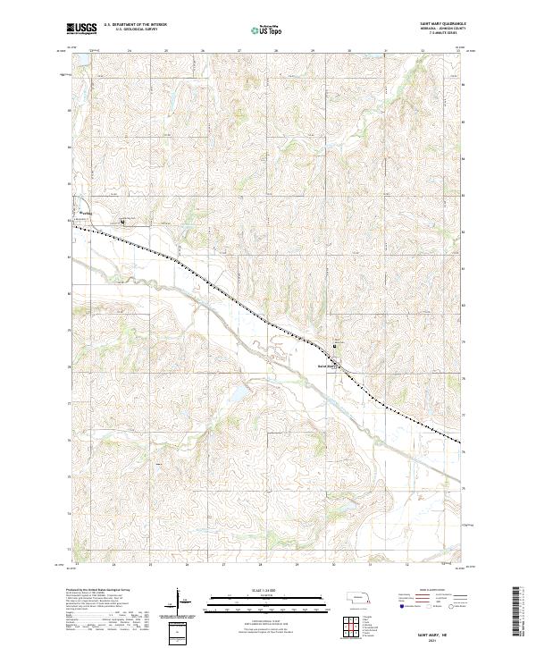 2021 Saint Mary2021 Print · USGSSoutheast Nebraska's agricultural heartland is captured here in the early twenty-first century, centered on the river valleys of Johnson County. Genealogists and local historians can locate family sites near Saint Mary and Sterling, or trace landmarks like the Heusman Reservoir and Saint Mary Cem.
 - 2021 Map of Burr, 2021 Print
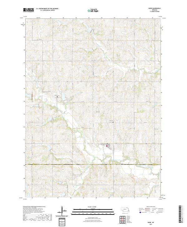 2021 Burr2021 Print · USGSThe community of Burr and the surrounding Otoe County farmlands are captured here in the early twenty-first century. Genealogists and researchers can locate family burial sites at Dughman Cem and Hope Cem or trace the winding path of Saunders Cr.
 - 2021 Map of Nehawka, 2021 Print
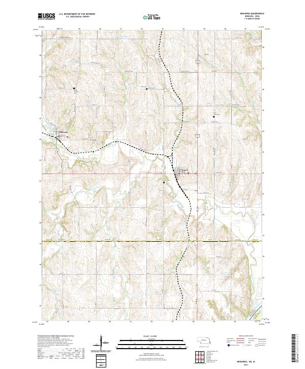 2021 Nehawka2021 Print · USGSThis corner of Nebraska and Iowa shows the agricultural heartland as it appeared in the early 2020s, centered on the crossings of Weeping Water Creek. Genealogists and local historians can locate several family-named landmarks and cemeteries like Mount Pleasant Cem, Buck Cem, and Johnson Reservoir.
 - 2021 Map of Walton, 2021 Print
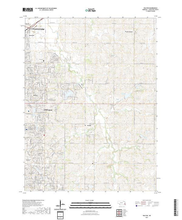 2021 Walton2021 Print · USGSEastern Lancaster County is captured in the early twenty-first century as the city of Lincoln expands toward Walton. Genealogists and local historians can trace family plots at Fairview Cemetery or explore the outskirts near Prairie Home.
 - 2021 Map of Unadilla, 2021 Print
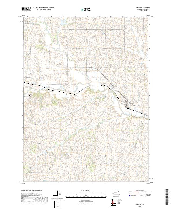 2021 Unadilla2021 Print · USGSSoutheast Nebraska's agricultural heartland is documented here in the early twenty-first century, centered on the village of Unadilla. Researchers can trace local lineage at Thompson Cem or follow the winding course of the Little Nemaha River and its many creeks.
 - 2021 Map of Steinauer, 2021 Print
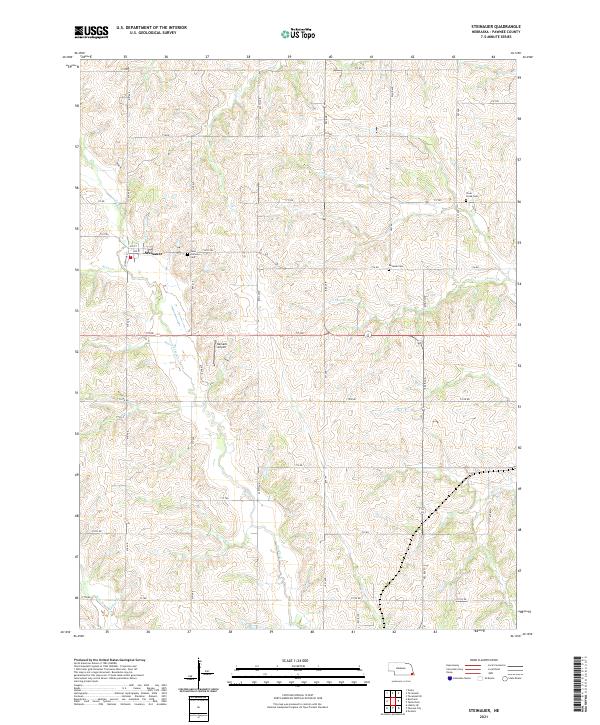 2021 Steinauer2021 Print · USGSThe village of Steinauer and its surrounding prairie landscape are shown here as they appeared in the early 2020s. Genealogists can trace local roots at Saint Anthonys Cem and Beranek Cem along the winding banks of Turkey Creek.
 - 2021 Map of Beatrice East, 2021 Print
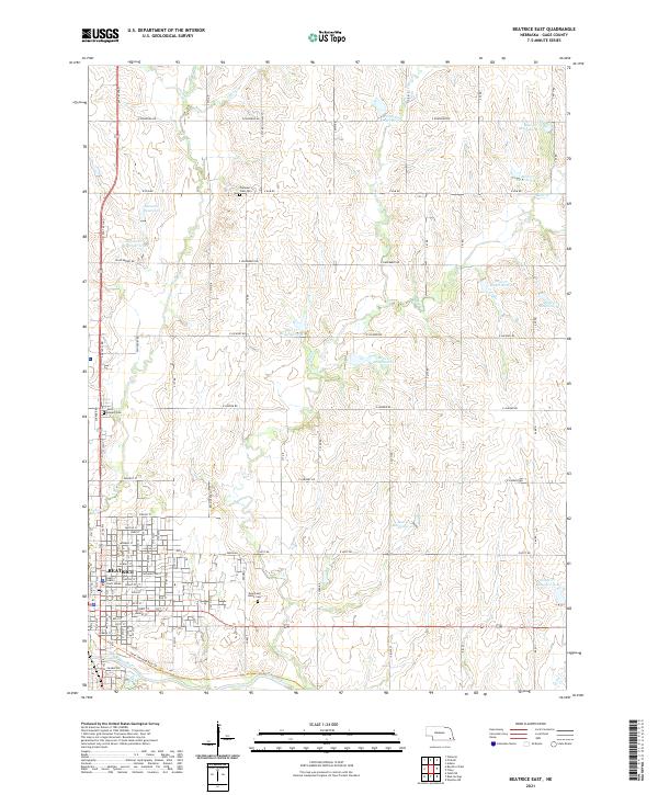 2021 Beatrice East2021 Print · USGSBeatrice and its rural Gage County surrounds are shown in this contemporary topographical view. Local history researchers can trace the city's development near the Big Blue River and locate family plots in Evergreen Home Cem or Pleasant View Cem.
 - 2021 Map of Pickrell, 2021 Print
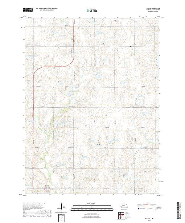 2021 Pickrell2021 Print · USGSAgricultural Gage County comes into focus in this recent survey, showcasing a landscape defined by water management and rural sections. Genealogists and local historians can locate Pickrell and Sunnyside Cem, or trace the numerous impoundments like Boesiger Reservoir and Busboom Reservoir.
 - 2021 Map of Rulo, 2021 Print
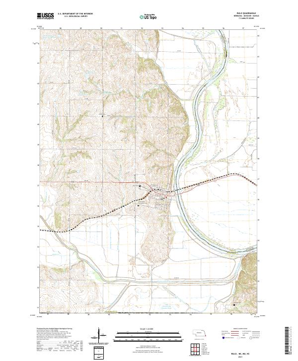 2021 Rulo2021 Print · USGSSoutheast Nebraska meets Missouri at the river bend during the early 2020s. Genealogists and local historians can trace the streets of Rulo and locate rural burial sites such as Heater Cem and Franklin Cem among the Missouri River bluffs.
 - 2021 Map of Peru, 2021 Print
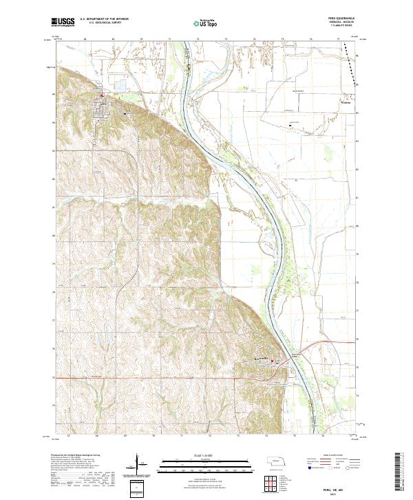 2021 Peru2021 Print · USGSThe Missouri River bluffs of Nebraska and the floodplains of Atchison County, Missouri, are captured here in the early twenty-first century. Genealogists can locate family sites at Mount Vernon Cem and Sonora Cem or trace the early campus of Peru State College.
 - 2021 Map of Diller, 2021 Print
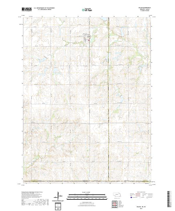 2021 Diller2021 Print · USGSDiller and the surrounding prairie of the Nebraska-Kansas border are shown in detail as they appeared in the early 2020s. Researchers can trace the water management systems of Big Indian Cr and locate specific sites like Callan Reservoir and Clapp Reservoir.
 - 2021 Map of Beatrice West, 2021 Print
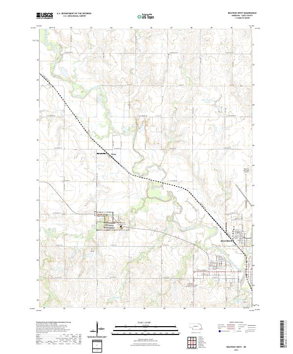 2021 Beatrice West2021 Print · USGSThe area west of Beatrice is captured here in the early twenty-first century, showing the intersection of local industry and federal history. Genealogists and researchers can trace the Homestead National Monument and the Freeman Grave Site alongside the rural settlement of Hoag.
 - 2021 Map of Murray, 2021 Print
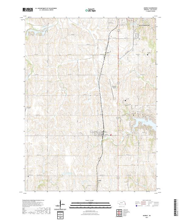 2021 Murray2021 Print · USGSCass County, Nebraska, comes into focus in this recent survey, showcasing the rural landscapes and growing waterside communities near Murray. Genealogists and researchers can locate family landmarks like Young Cemetery and Clemmons Cemetery or trace the many creeks such as Fourmile Creek.
 - 2021 Map of Filley, 2021 Print
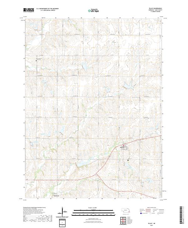 2021 Filley2021 Print · USGSGage County is shown in this contemporary study of its rural crossroads and engineered watershed. Genealogists and local historians can locate Filley and Rockford, or find family names at Zion Evangelical Lutheran Cem and Filley Cem.
 - 2021 Map of Humboldt, 2021 Print
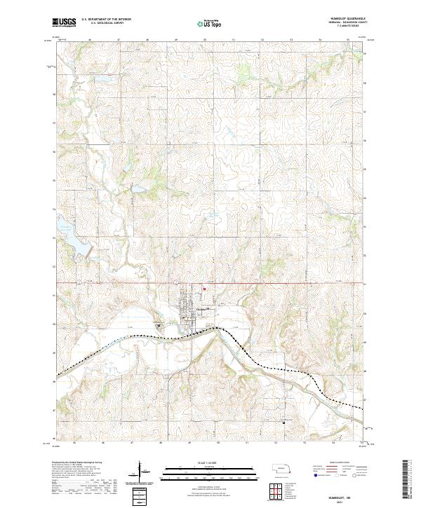 2021 Humboldt2021 Print · USGSThe town of Humboldt and the surrounding Richardson County landscape are captured here in the early twenty-first century. Genealogists can locate family sites near Humboldt Cem and Lynchburg Cem or along the banks of the North Fork Big Nemaha River.
 - 2021 Map of Davey, 2021 Print
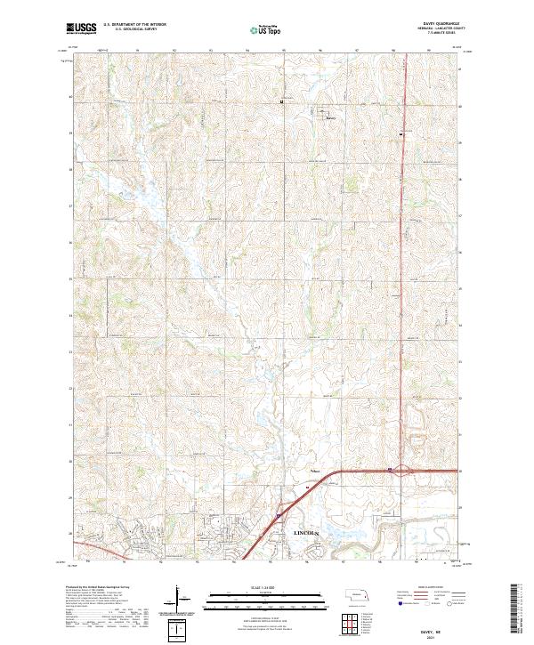 2021 Davey2021 Print · USGSNorth of the capital city in the early 2020s, this area shows the meeting of rural roots and residential expansion. Genealogists can locate family burial sites at Tothill Cem and Danish Cem or trace the winding course of Little Salt Cr.
 - 2021 Map of Nebraska City NW, 2021 Print
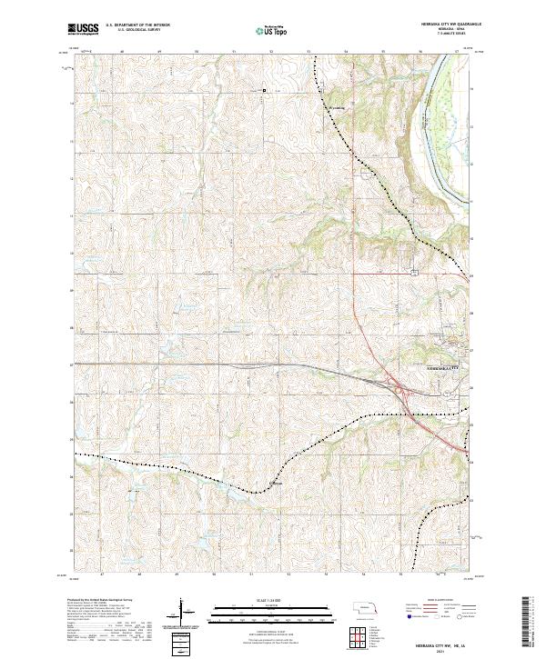 2021 Nebraska City NW2021 Print · USGSThe Nebraska-Iowa borderlands near Otoe County come into focus in this recent study of the rural landscape northwest of Nebraska City. Local historians can trace the paths of Steam Wagon Rd and locate landmarks like the Cowles Cem and the settlement of Wyoming.
 - 2021 Map of Howe, 2021 Print
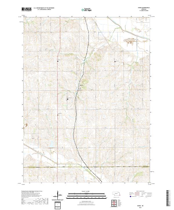 2021 Howe2021 Print · USGSSoutheast Nebraska's agricultural heartland is documented here in the early twenty-first century, centered on the settlement of Howe. Researchers can locate several rural burial grounds, including Bedford Cem and Kite Cem, alongside the winding path of Indian Cr.
 - 2021 Map of Tecumseh NW, 2021 Print
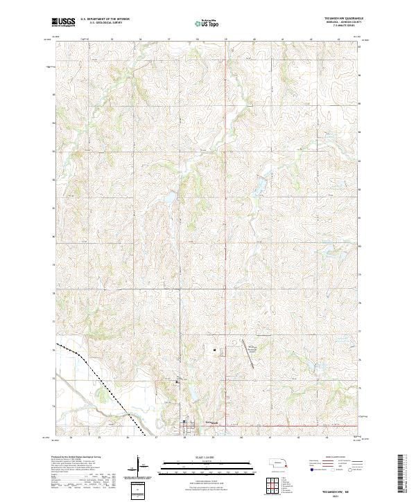 2021 Tecumseh NW2021 Print · USGSThe area surrounding Tecumseh is captured here in the early 2020s, showing a landscape defined by the North Fork Big Nemaha River watershed. Genealogists and local historians can trace legacy routes like Old Hwy 50 and locate landmarks such as Saint Andrews Cem and the Tecumseh Municipal Airport.
 - 2021 Map of Liberty, 2021 Print
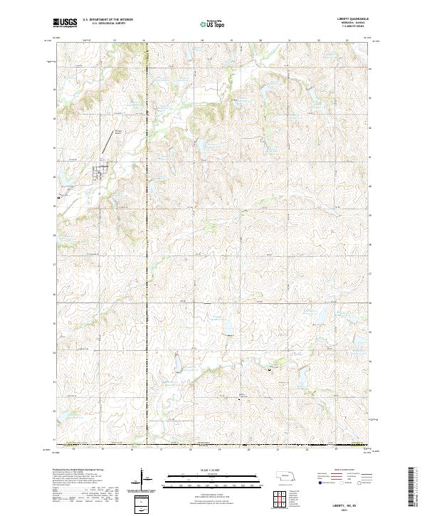 2021 Liberty2021 Print · USGSLiberty and the rural borderlands of Gage and Pawnee Counties are shown here during the early twenty-first century. Researchers can trace family history through Liberty Cem, Tanner Cem, and Mission Creek Cem or study the local drainage of Plum Cr and Mission Cr.
 - 2021 Map of Dawson, 2021 Print
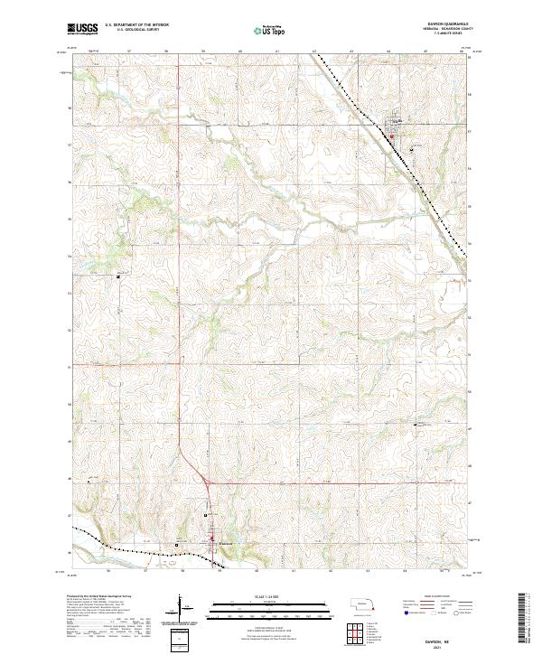 2021 Dawson2021 Print · USGSRichardson County agriculture and rural life are preserved here during the early twenty-first century, centered on the communities of Dawson and Stella. Genealogists can locate several local burial grounds, including Mound Cem, Starr Cem, and Liberty Township Cem.
 - 2021 Map of Wymore NE, 2021 Print
 2021 Wymore NE2021 Print · USGSGage County is shown here in the early twenty-first century, revealing an intricate system of water management and rural homesteads. Genealogists and local historians can locate Virginia Cem, the community of Rockford, and the waters of Rockford Lake.
Showing maps 1-25 of 1,448
Top cities of Nebraska
- Omaha historical maps
- Lincoln historical maps
- Bellevue historical maps
- Grand Island historical maps
- Kearney historical maps
- Fremont historical maps
See more
Top counties of Nebraska
- Douglas County historical maps
- Lancaster County historical maps
- Sarpy County historical maps
- Hall County historical maps
- Buffalo County historical maps
- Dodge County historical maps
See more
Frequently asked questions
- What are the different types of historical maps available for Nebraska?
- What is the oldest map of Nebraska?
- Where can I purchase historical maps of Nebraska for my home or office?
- Where can I download high-res historical maps of Nebraska?
- Are there historical topographic maps available for Nebraska?
- Is there historical aerial imagery available for Nebraska?
- Where are historical maps of Nebraska sourced from?