1970s Maps of Nebraska
Explore 368 historic maps of Nebraska from the 1970s. These maps offer a rare glimpse into what life looked like during the 1970s — showing old roads, neighborhoods, homes, and landmarks that have changed or disappeared over time.
Whether you're researching your family's past, planning a metal detecting trip, or studying how Nebraska's landscape evolved across the 1970s, these high-resolution maps are a powerful tool for exploring the history of this region.
- Focus on a specific era: All maps on this page are from the 1970s, giving you a focused view of this time period.
- See what’s changed: Compare century-old streets, trails, and buildings to today's modern landscape using overlays and satellite layers.
- Research with precision: Use these maps for genealogy, historical research, land use analysis, or educational projects.
- View, download, or print: Maps are fully viewable online in high resolution, and can be downloaded or printed for your own records.
Start exploring Nebraska's history through authentic maps from the 1970s. This is your window into the past.
Nebraska maps
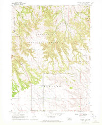
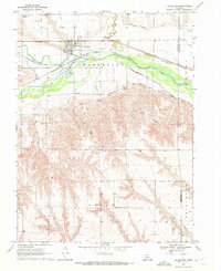
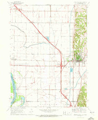
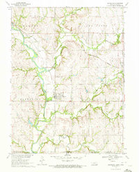
(368)- 1970 Map of Diller NE, 1971 Print
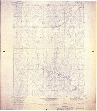 1970 Diller NE1971 Print · USGSGage County agriculture and rail life are at the forefront of this 1970s survey. Genealogists and historians can trace the Chicago Rock Island and Pacific tracks through Ellis, finding local landmarks like Ellis Cem and Pleasant Hill Cem.2 unique versions available
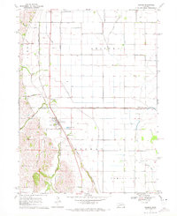
 - 1970 Map of Oakland SE, 1971 Print
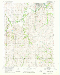
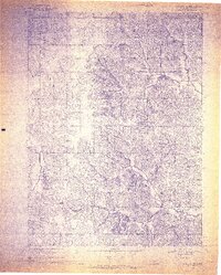 1970 Oakland SE1971 Print · USGSBurt County land and industry are captured here at the start of the 1970s, focused on the rail-side village of Craig. Genealogists and historians can trace family plots at Silver Creek Cem and follow the route of the Chicago and North Western railroad.2 unique versions available
 - 1970 Map of Holdrege East, 1972 Print
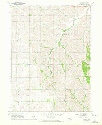
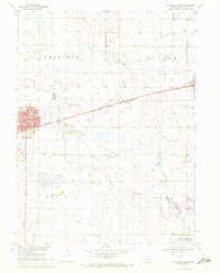 1970 Holdrege East1972 Print · USGSPhelps County, Nebraska, is seen here in the early 1970s as its rail-centered agricultural economy thrives. Researchers can trace the layout of HOLDREGE, locate rural landmarks like School No 7, and explore cemeteries such as Prairie Home.
 - 1970 Map of Little Sioux, 1972 Print
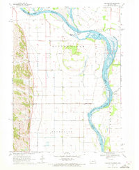
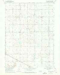
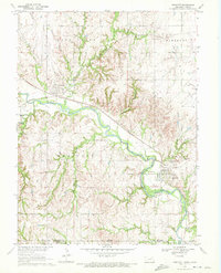
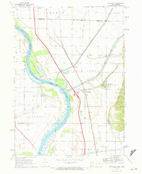 1970 Little Sioux1972 Print · USGSThe Missouri River floodplain comes into sharp focus during the 1970s, showing a landscape shaped by both nature and heavy engineering. Genealogists and local historians can trace early residents through Little Sioux Cem and Roughcorn Cem, or follow the path of the Chicago and North Western railroad.
 - 1970 Map of Tekamah NW, 1972 Print
 1970 Tekamah NW1972 Print · USGSThe Missouri River floodplain comes into sharp focus during the 1970s, showing a landscape of managed drainage and small rural hubs. Researchers can trace family ties at the Riverside Ch or locate landmarks like Lake Quinnebaugh and the Huff Access County Park.
 - 1970 Map of Axtell West, 1972 Print
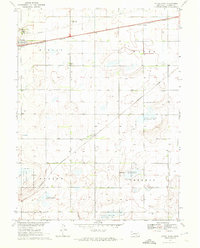
 1970 Axtell West1972 Print · USGSThe rural prairie of Phelps and Kearney counties comes into focus in the early 1970s, showcasing the intricate irrigation network of the Mirage Canal. Local researchers can trace the rail corridor of the Burlington Northern through Axtell and Funk, or locate family sites like Fridhem Cem.
 - 1970 Map of Bohemian Creek, 1972 Print
 1970 Bohemian Creek1972 Print · USGSThe Nebraska panhandle frontier meets the South Dakota border in this early 1970s survey. Trace the winding White River and the rural reaches of Bohemian Creek past local Gravel Pits and the open spaces of West Chadron.
 - 1970 Map of Red Willow Dam, 1972 Print
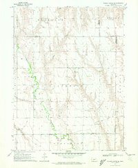
 1970 Red Willow Dam1972 Print · USGSThe Frontier and Red Willow county line area was undergoing significant change in the 1970s following the creation of Hugh Butler Lake. Researchers can trace the massive Mc Cook State Airport (Abandoned) and rural landmarks like Zion Hill Cem and School No 41.
 - 1970 Map of Loomis, 1972 Print
 1970 Loomis1972 Print · USGSAgricultural life in Phelps County centered on the railroad siding at Loomis during the early 1970s. Genealogists and local historians can trace the rural landscape across Union and Laird townships, locating landmarks like the Shaw Cem and the Burlington Northern line.
 - 1970 Map of Chadron 3 NW, 1972 Print
 1970 Chadron 3 NW1972 Print · USGSNorthwestern Nebraska at the start of the 1970s shows a landscape defined by the Pine Ridge forest and high plains ranching. Researchers can locate the Prairie Home Sch and trace the winding course of Bordeaux Creek through the Nebraska National Forest.2 unique versions available
 - 1970 Map of Wymore, 1972 Print
 1970 Wymore1972 Print · USGSNear the Nebraska-Kansas border in the early seventies, the landscape around Wymore remains defined by the Big Blue River and its rail junctions. Researchers can trace the Old Indian Treaty Boundary and locate family plots at Wymore Cem or St Johns Cem.
 - 1970 Map of Bertha, 1972 Print
 1970 Bertha1972 Print · USGSBurt County agriculture and community life are captured here in the early seventies, showing a landscape of scattered schools and prairie drainages. Genealogists can trace family roots at Holy Family Cem or locate rural centers like Bertha and Divide Center Ch.
 - 1970 Map of Quick, 1972 Print
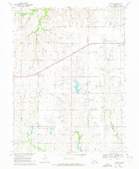
 1970 Quick1972 Print · USGSFrontier County during the early 1970s shows a landscape of rural schoolhouses and the expansion of Hugh Butler Lake. Local historians can trace the community around Quick, Garden Prairie Ch, and School No 101.
 - 1970 Map of Bertrand SE, 1972 Print
 1970 Bertrand SE1972 Print · USGSThe Phelps County plains in the early seventies show a landscape of intensive irrigation and rail transport. Researchers can locate the Sandstrom Cem and trace the Burlington Northern tracks as they pass through Bertrand.
 - 1970 Map of Culbertson, 1972 Print
 1970 Culbertson1972 Print · USGSCulbertson and the Republican River valley are documented here in the early 1970s, showcasing a landscape of intensive irrigation and rail transport. Researchers can trace the Culbertson Canal, find the local Fairground, and locate landmarks like Bethel Ch.
 - 1970 Map of Harbine, 1972 Print
 1970 Harbine1972 Print · USGSHarbine and Ellis sit at the Jefferson and Gage County line in the early 1970s as the railroad still defines the rural landscape. Genealogists can trace family names through the Harbine Cemetery, Hope Church, and rural Zion School.
 - 1970 Map of Kearney SE, 1972 Print
 1970 Kearney SE1972 Print · USGSSoutheast of Kearney in the 1970s, the Nebraska prairie was defined by a mix of historic military boundaries and modern water engineering. Researchers can trace the Old Fort Kearney Military Reservation Boundary and the path of the Phelps County Canal.
 - 1970 Map of Endicott, 1972 Print
 1970 Endicott1972 Print · USGSThe Little Blue River valley during the early seventies serves as a hub for both rail and river commerce along the Nebraska-Kansas border. Researchers can trace industrial sites like the Kilns and Claypit alongside the Burlington Northern line and Steele City Cem.
 - 1970 Map of Missouri Valley, 1972 Print
 1970 Missouri Valley1972 Print · USGSMissouri Valley and the surrounding Harrison County bottomlands are captured here during a period of significant infrastructure development in the 1970s. Researchers can trace the local landscape from the winding Willow Creek to the hilltop Mt Carmel Cem.
 - 1970 Map of Axtell East, 1972 Print
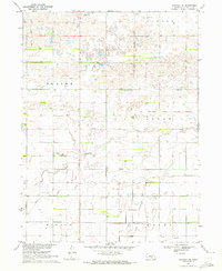
 1970 Axtell East1972 Print · USGSKearney County's agricultural heartland is documented in the early seventies as the rail lines and wildlife areas shaped the local landscape. Researchers can locate family sites near Bethpage Mission, Bethany Ch, or the rural Keene Cem.
 - 1970 Map of McCook West, 1972 Print
 1970 McCook West1972 Print · USGSThe Republican River valley thrived during the 1970s as a hub of irrigation and rail transport. Genealogists and historians can trace local landmarks like Memorial Park Cem, the rural School No 16, and the industrial Gravel Pits.2 unique versions available
 - 1970 Map of Burger Canyon SE, 1972 Print
 1970 Burger Canyon SE1972 Print · USGSSouthwestern Nebraska in the early 1970s was defined by the intersection of four counties and the intricate engineering of the Blackwood Creek valley. Researchers can trace the sophisticated irrigation network of the Culbertson Siphon Extension Canal and locate rural landmarks like the Beebe Landing Strip.
 - 1970 Map of Chadron East, 1972 Print
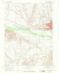
 1970 Chadron East1972 Print · USGSChadron and the surrounding Nebraska Panhandle are captured in the early 1970s, showing the town's expansion and its rail connections. Genealogists and historians can trace the grounds of Chadron State College, Highland Cem, and Assumption Academy.
 - 1970 Map of Barneston, 1972 Print
 1970 Barneston1972 Print · USGSThe Nebraska-Kansas borderlands come into focus in the early 1970s as the river economy meets the rail lines. Genealogists and historians can trace the Indian Treaty Boundary, the village of Barneston, and the Liberty Cemetery along the Big Blue River.
 - 1970 Map of Herman, 1972 Print
 1970 Herman1972 Print · USGSIn the early seventies, the farming country near Herman was defined by its railroad grain connections and a sophisticated network of drainage ditches. Researchers can trace family history at the Herman Cem or explore the rail siding at Ranch Spur.
Showing maps 1-25 of 368
Top cities of Nebraska
- Omaha historical maps
- Lincoln historical maps
- Bellevue historical maps
- Grand Island historical maps
- Kearney historical maps
- Fremont historical maps
See more
Top counties of Nebraska
- Douglas County historical maps
- Lancaster County historical maps
- Sarpy County historical maps
- Hall County historical maps
- Buffalo County historical maps
- Dodge County historical maps
See more
Frequently asked questions
- What are the different types of historical maps available for Nebraska?
- What is the oldest map of Nebraska?
- Where can I purchase historical maps of Nebraska for my home or office?
- Where can I download high-res historical maps of Nebraska?
- Are there historical topographic maps available for Nebraska?
- Is there historical aerial imagery available for Nebraska?
- Where are historical maps of Nebraska sourced from?