2000s (21st Century) Maps of Dawes County, Nebraska
Explore 161 historic maps of Dawes County from the 2000s (21st Century). These maps offer a rare glimpse into what life looked like during the 2000s — showing old roads, neighborhoods, homes, and landmarks that have changed or disappeared over time.
Whether you're researching your family's past, planning a metal detecting trip, or studying how Dawes County's landscape evolved across the 2000s, these high-resolution maps are a powerful tool for exploring the history of this region.
- Focus on a specific era: All maps on this page are from the 2000s, giving you a focused view of this time period.
- See what’s changed: Compare century-old streets, trails, and buildings to today's modern landscape using overlays and satellite layers.
- Research with precision: Use these maps for genealogy, historical research, land use analysis, or educational projects.
- View, download, or print: Maps are fully viewable online in high resolution, and can be downloaded or printed for your own records.
Start exploring Dawes County's history through authentic maps from the 2000s. This is your window into the past.
Dawes County, NE maps
(161)- 2011 Map of Coffee Mill Butte, 2011 Print
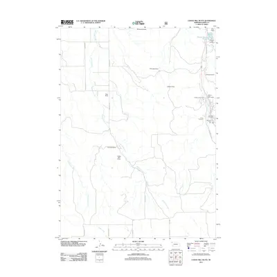 2011 Coffee Mill Butte2011 Print · USGSDawes County’s high plains and canyons come into focus in the early twenty-first century, showing a landscape shaped by the Pine Ridge and vital water sources. Researchers can trace the rugged topography of Coffee Mill Butte and locate local landmarks like Camp Norwesca and the Chadron Reservoir.
 - 2011 Map of Box Butte Reservoir West, 2011 Print
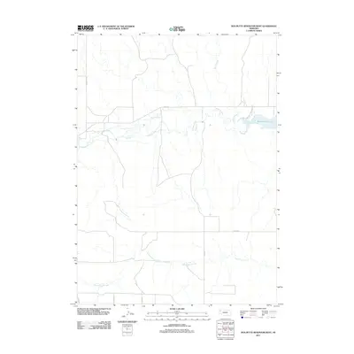 2011 Box Butte Reservoir West2011 Print · USGSBox Butte County at the start of the 2010s shows a landscape defined by the Niobrara River and its essential water systems. You can trace the rural road network and explore the margins of Box Butte Res State Park and Sand Canyon Creek.
 - 2011 Map of Coffee Mill Butte SW, 2011 Print
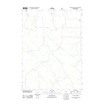 2011 Coffee Mill Butte SW2011 Print · USGSDawes County, Nebraska, is seen here in the early twenty-first century as a land of expansive ranching and complex creek drainages. Genealogists can locate Highland Center Cemetery and trace the paths of Hollibaugh Rd and Table Rd.
 - 2011 Map of Lone Tree Ranch, 2011 Print
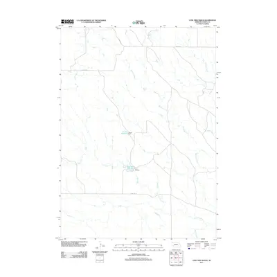 2011 Lone Tree Ranch2011 Print · USGSDawes County ranch lands are detailed here during the early twenty-first century, showing the critical water infrastructure of the high plains. Researchers can trace the drainage of Lone Tree Creek and locate landmarks like Lone Tree Reservoir and Bauer Dam.
 - 2011 Map of Trunk Butte, 2011 Print
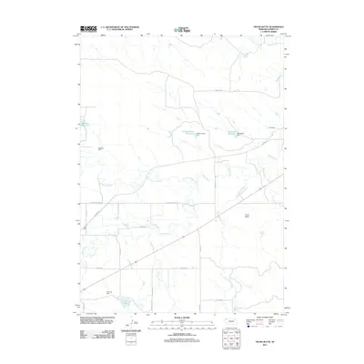 2011 Trunk Butte2011 Print · USGSDawes County in the early 21st century remains a landscape of high plains ranching and strategic water management. Genealogists and local historians can trace the paths of Trunk Butte Creek and identify local family-named landmarks like Schuhmacher Reservoir and Baldwin Dam.
 - 2011 Map of Orella, 2011 Print
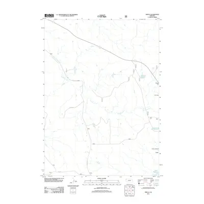 2011 Orella2011 Print · USGSDawes County, Nebraska, is captured here during the early 2010s, showing a remote ranching landscape defined by its distinctive buttes and creek drainages. Researchers can locate the settlement of Orella and trace local hydrology through Long Branch Creek, Agate Dam Reservoir, and Moody Reservoir.
 - 2011 Map of Bohemian Creek, 2011 Print
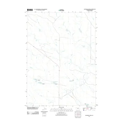 2011 Bohemian Creek2011 Print · USGSDawes County ranchlands are documented here in the early twenty-first century, showing a landscape shaped by the White River and its vital water management systems. Trace local land use through a network of family-named features like Schommer Loop Rd and the series of Gorr Reservoirs.
 - 2011 Map of Chadron West, 2011 Print
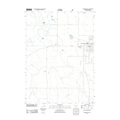 2011 Chadron West2011 Print · USGSChadron and its western outskirts are captured here during a period of modern development along the edge of the Nebraska Panhandle. Researchers can locate family sites at Greenwood Cemetery, trace the White River, or find landmarks like Dakota Junction and Shisler Cemetery.
 - 2011 Map of Wayside, 2011 Print
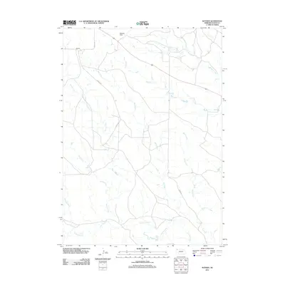 2011 Wayside2011 Print · USGSThe rural landscape of Dawes County is captured here in the early twenty-first century, centered on the settlement of Wayside. Researchers can trace the varied drainage of the plains through Wayside Butte and winding waterways like Bohemian Creek and Lone Tree Creek.
 - 2011 Map of Crawford, 2011 Print
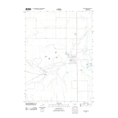 2011 Crawford2011 Print · USGSCrawford and the historic Pine Ridge region are shown here in the early twenty-first century, balancing modern recreation with deep frontier roots. Researchers can trace land markers near Fort Robinson State Park or locate family plots at Crawford Cemetery and Saint John Cemetery.
 - 2011 Map of Whitney, 2011 Print
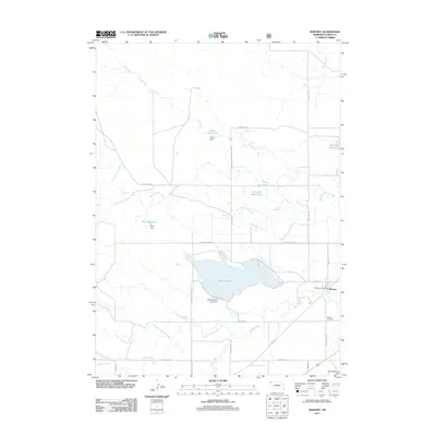 2011 Whitney2011 Print · USGSWhitney and the surrounding Nebraska ranch lands are captured here in the early twenty-first century as the area continues its reliance on the White River drainage. Genealogists and local historians can locate the Whitney Cemetery, the Whitney Post Office, and the extensive irrigation works of Whitney Lake.
 - 2011 Map of Dead Mans Creek, 2011 Print
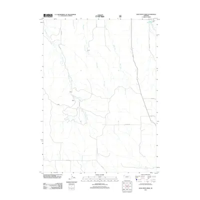 2011 Dead Mans Creek2011 Print · USGSSioux County's high plains are mapped in detail here during the early twenty-first century, showing the drainage systems that define the region. Researchers can trace rural routes like Deadman Rd and Breakneck Rd to the Dodd Reservoir and Dodd Dam.
 - 2011 Map of Marsland, 2011 Print
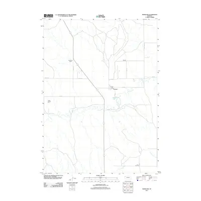 2011 Marsland2011 Print · USGSMarsland and the Niobrara River valley are captured here in the early twenty-first century, showing a remote Dawes County ranching landscape. Researchers can locate the Marsland Cemetery, the Marsland Post Office, and the rural School Number 76 among the canyon breaks.
 - 2011 Map of Wolf Butte, 2011 Print
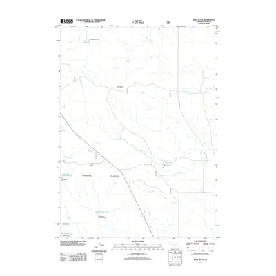 2011 Wolf Butte2011 Print · USGSDawes County in the early twenty-first century reveals a high plains landscape shaped by essential water management and cattle ranching. Researchers can trace land-use patterns through local landmarks like Wolf Butte, Snook Reservoir, and Pete Smith Hill.
 - 2011 Map of Marsland NW, 2011 Print
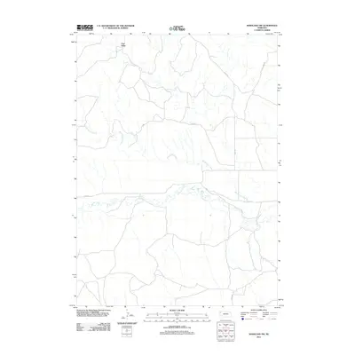 2011 Marsland NW2011 Print · USGSThe Nebraska panhandle in the early twenty-first century reveals a remote landscape defined by the Pine Ridge escarpment. Genealogists and local historians can trace rural routes and watercourses such as the Niobrara River, Barngrover Creek, and Morava Dr.
 - 2011 Map of Horn, 2011 Print
 2011 Horn2011 Print · USGSIn the northwestern reaches of Nebraska during the early twenty-first century, this map documents the cattle-country landscape around Horn. Researchers can trace ranching infrastructure through features like Dahlheimer Reservoir, Benedict Buttes, and Dodd-McDowell Dam.
 - 2011 Map of Belmont, 2011 Print
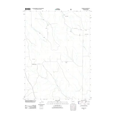 2011 Belmont2011 Print · USGSDawes County at the turn of the twenty-first century reveals a landscape shaped by rail history and high plains terrain. Researchers can locate the Belmont Tunnel, trace the grounds of the Belmont Cemetery, and explore landmarks like Rock Canyon and Dooley Spring.
 - 2011 Map of Coffee Mill Butte SE, 2011 Print
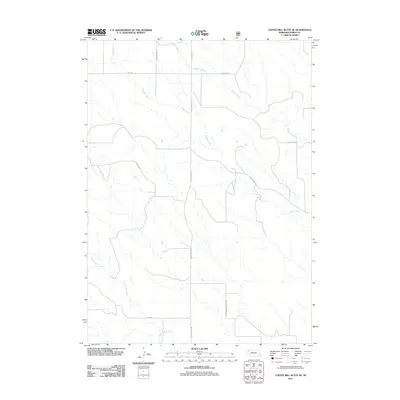 2011 Coffee Mill Butte SE2011 Print · USGSDawes County ranch land and the Nebraska high plains are documented here at the start of the 2010s. Genealogists and local historians can trace family-named routes such as Scherbarth Rd and Marchant Rd or locate the namesake of Cottonwood School Rd.
 - 2011 Map of Box Butte NE, 2011 Print
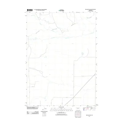 2011 Box Butte NE2011 Print · USGSBox Butte County at the start of the 2010s reveals a landscape shaped by high-plains agriculture and the vital waters of the Niobrara River. Researchers can trace the path of the Mirage Flats Canal and the rural road network including Banner Rd and Arthur Rd.
 - 2011 Map of Hay Springs Creek, 2011 Print
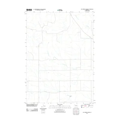 2011 Hay Springs Creek2011 Print · USGSDawes County at the start of the 2010s reveals a structured landscape of section lines and prairie waterways. Researchers can trace land divisions and rural infrastructure along Long Rd and Krotz Rd, or locate water features like Anderson Dam.
 - 2011 Map of Bordeaux, 2011 Print
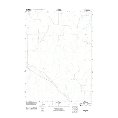 2011 Bordeaux2011 Print · USGSBordeaux and the surrounding High Plains are captured here in the early twenty-first century as ranching and natural landmarks continue to define the terrain. Genealogists and historians can trace the paths of Redfern Rd and locate distinctive features like Devils Backbone or Lovers Leap.
 - 2011 Map of Crow Butte, 2011 Print
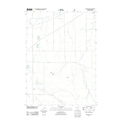 2011 Crow Butte2011 Print · USGSDawes County, Nebraska, is seen here in the early twenty-first century, showing a landscape shaped by water management and high plains landmarks. Genealogists and historians can locate Crow Butte Cemetery and trace land features like Crow Butte and Souther Reservoir.
 - 2011 Map of Sand Canyon West, 2011 Print
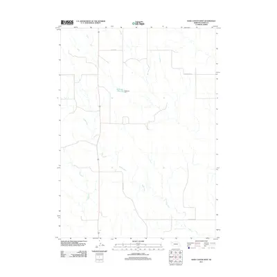 2011 Sand Canyon West2011 Print · USGSDawes County in the early twenty-first century remains a landscape of wide-open ranching and rural water management. Researchers can trace the courses of Pepper Creek and Pebble Creek or locate landmarks like the Steffensen Reservoir.
 - 2011 Map of Chimney Butte, 2011 Print
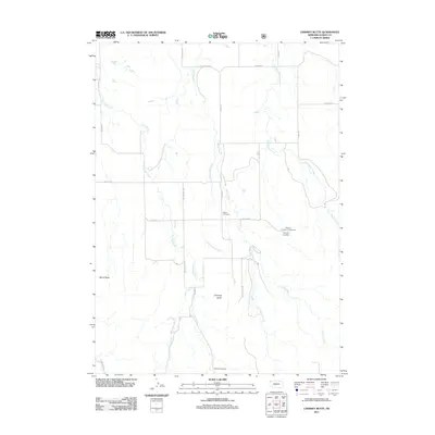 2011 Chimney Butte2011 Print · USGSDawes County at the beginning of the 2010s reveals a ranching landscape transitioning toward recreational use. Genealogists and hikers can locate the historic Bethel Cemetery or trace the routes to Chimney Butte and the Roberts Trailhead Campground.
 - 2011 Map of Chadron East, 2011 Print
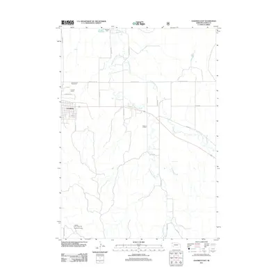 2011 Chadron East2011 Print · USGSDawes County at the start of the 2010s shows a landscape defined by the growth of Chadron and the waterways of the High Plains. Researchers can trace rural infrastructure from the O and N Airport to the Spotted Tail Campground and Highland Cemetery.
Showing maps 1-25 of 161
Top cities of Dawes County
Frequently asked questions
- What are the different types of historical maps available for Dawes County?
- What is the oldest map of Dawes County?
- Where can I purchase historical maps of Dawes County for my home or office?
- Where can I download high-res historical maps of Dawes County?
- Are there historical topographic maps available for Dawes County?
- Is there historical aerial imagery available for Dawes County?
- Where are historical maps of Dawes County sourced from?