2010s Maps of Howard County, Nebraska
Explore 48 historic maps of Howard County from the 2010s. These maps offer a rare glimpse into what life looked like during the 2010s — showing old roads, neighborhoods, homes, and landmarks that have changed or disappeared over time.
Whether you're researching your family's past, planning a metal detecting trip, or studying how Howard County's landscape evolved across the 2010s, these high-resolution maps are a powerful tool for exploring the history of this region.
- Focus on a specific era: All maps on this page are from the 2010s, giving you a focused view of this time period.
- See what’s changed: Compare century-old streets, trails, and buildings to today's modern landscape using overlays and satellite layers.
- Research with precision: Use these maps for genealogy, historical research, land use analysis, or educational projects.
- View, download, or print: Maps are fully viewable online in high resolution, and can be downloaded or printed for your own records.
Start exploring Howard County's history through authentic maps from the 2010s. This is your window into the past.
Howard County, NE maps
(48)- 2011 Map of Elba, 2011 Print
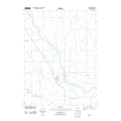 2011 Elba2011 Print · USGSElba sits along the North Loup River in the early 2010s, surrounded by a complex network of creeks and prairie roads. Researchers can locate specific family landmarks such as Saint Joseph Cemetery, Fairdale Cemetery, and the historic route of the Deadwood Trl.
 - 2011 Map of Saint Libory, 2011 Print
 2011 Saint Libory2011 Print · USGSThe rural landscape around Saint Libory and Worms is documented here in the early twenty-first century. Genealogists and local historians can trace family ties at the Norwegian Cemetery or Weigert Cemetery and locate the Saint Libory Post Office.
 - 2011 Map of Saint Paul SW, 2011 Print
 2011 Saint Paul SW2011 Print · USGSHall County’s rural grid is captured here in the early twenty-first century, showing a landscape of expansive farmsteads and prairie roads. Genealogists and historians can trace local landmarks like Mumpumpey Hill, Pool Hill, and the drainage patterns of Big Slough.
 - 2011 Map of Wolbach SW, 2011 Print
 2011 Wolbach SW2011 Print · USGSHoward County, Nebraska, at the start of the 2010s reveals a landscape defined by the confluence of the North Loup River and Middle Loup River. Researchers can locate historic rural burial grounds including Saint Peter Cemetery and Logan Cemetery.
 - 2011 Map of Nysted, 2011 Print
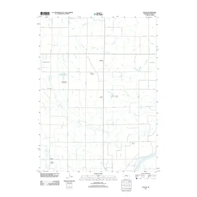 2011 Nysted2011 Print · USGSHoward County's agricultural heartland is documented here in the early twenty-first century, showing the enduring grid of section roads and river drainage. Family historians can locate several namesake burial grounds, including Scotch Cemetery and the Nysted Evangelical Cemetery.
 - 2011 Map of Cushing, 2011 Print
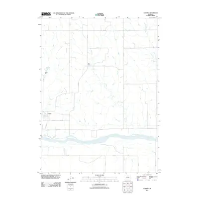 2011 Cushing2011 Print · USGSThe village of Cushing and the Loup River valley are shown here in the early twenty-first century as the landscape's agricultural character endures. Local historians can trace family ties at Rock Creek Cemetery or locate landmarks like Deppen Reservoir.
 - 2011 Map of Dannebrog, 2011 Print
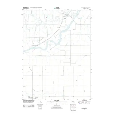 2011 Dannebrog2011 Print · USGSDannebrog and Cairo anchor this river valley at the start of the 2010s. Genealogists and local historians can locate Oak Ridge Cemetery, trace the path of the Middle Loup River, and identify original rural corridors like N Schauppsville and Berty Rd.
 - 2011 Map of Palmer, 2011 Print
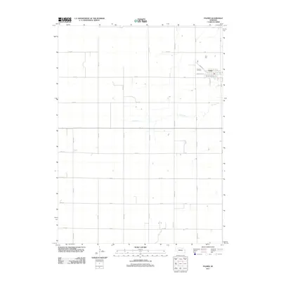 2011 Palmer2011 Print · USGSThe village of Palmer and its surrounding agricultural grid are captured here in the early twenty-first century. Genealogists and local historians can locate Rose Hill Cemetery and the Palmer Post Office while tracing rural property lines along Merrick Rd.
 - 2011 Map of Boelus, 2011 Print
 2011 Boelus2011 Print · USGSCentral Nebraska river valleys come into focus in this early twenty-first century survey of the Howard and Buffalo county lines. Genealogists and local historians can trace the rural communities of Boelus and Saint Michael, alongside the Swedish Cemetery.
 - 2011 Map of Wolbach, 2011 Print
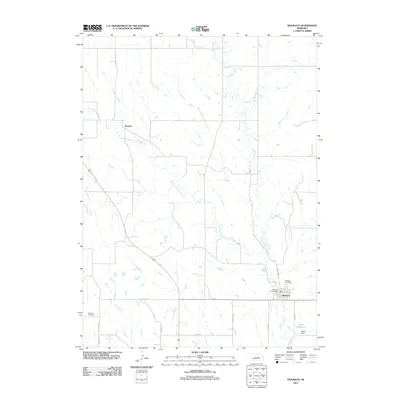 2011 Wolbach2011 Print · USGSWolbach and the surrounding Greeley County plains are captured here in the early twenty-first century. Researchers can locate family sites near Wolbach Cemetery and Summit Cemetery or trace the rural routes of Jansen Rd and Gordon Rd.
 - 2011 Map of Farwell, 2011 Print
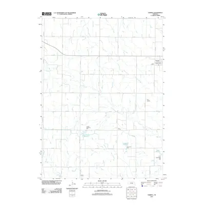 2011 Farwell2011 Print · USGSThe village of Farwell and its surrounding agricultural plains are documented here during the early twenty-first century. Genealogists can locate several family and community burial sites including the Danish Cemetery, Kelso Cemetery, and Ebenezer Cemetery.
 - 2011 Map of Cotesfield, 2011 Print
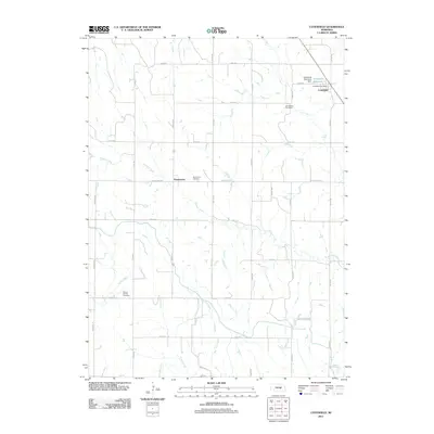 2011 Cotesfield2011 Print · USGSCotesfield and the surrounding Nebraska prairie are captured here in a period of settled agricultural stability. Genealogists and local historians can trace family locations near Dannevirke, Cotesfield, and several rural burial grounds including Saint Mary Cemetery.
 - 2011 Map of Saint Paul, 2011 Print
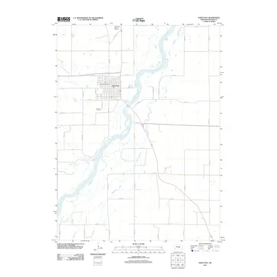 2011 Saint Paul2011 Print · USGSSaint Paul and the fertile Howard County river valleys are captured here in the early twenty-first century. Genealogists and local historians can trace the town’s development near the Middle Loup River, locating the Saint Paul Cemetery and the Walts Aerial Service Airport.
 - 2011 Map of Wolbach NE, 2011 Print
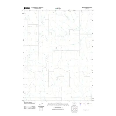 2011 Wolbach NE2011 Print · USGSThe rural plains of Merrick County are captured in this early twenty-first-century survey, showing the enduring grid of the Nebraska heartland. Genealogists and local historians can trace the paths of South Branch Timber Creek or locate family land near Brady Rd and WPA Ave.
 - 2011 Map of Scotia NE, 2011 Print
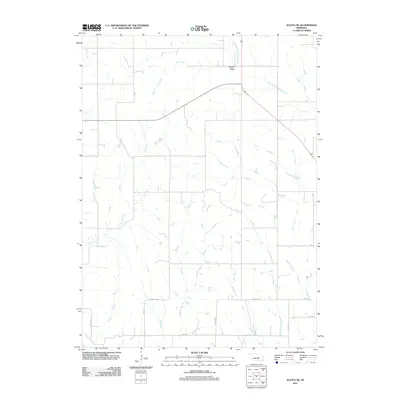 2011 Scotia NE2011 Print · USGSGreeley County at the start of the 2010s shows a classic Nebraska plains landscape defined by its section lines and seasonal creeks. Genealogists and local historians can trace rural routes like Deadwood Trl and Page Rd near the settlement of Boston Valley.
 - 2011 Map of Scotia, 2011 Print
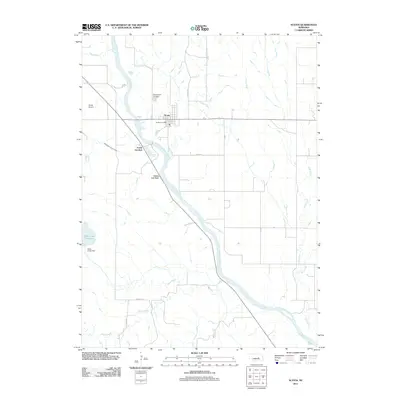 2011 Scotia2011 Print · USGSScotia and the surrounding river valley are captured here in the early twenty-first century, showing a landscape defined by irrigation and the North Loup River. Researchers can trace local landmarks like Mount Hope Cemetery, the engineering of the Davis Creek Dam, and the heights of Happy Jack Peak.
 - 2014 Map of Nysted, 2014 Print
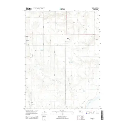 2014 Nysted2014 Print · USGSHoward County's agricultural heartland is documented here in the early twenty-first century, showing a landscape defined by deep immigrant roots and Missouri River tributaries. Genealogists can locate several distinct burial grounds, including Czechoslovakia Cem, Saint Wenceslaus Cem, and Nysted Evangelical Cem.
 - 2014 Map of Saint Paul SW, 2014 Print
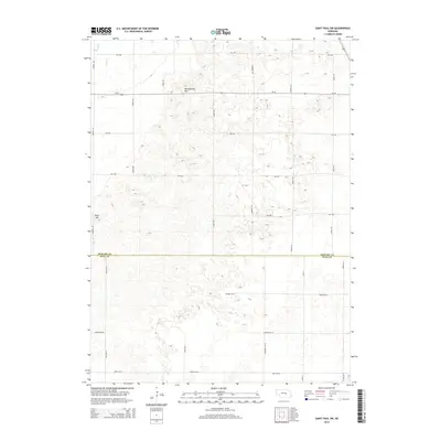 2014 Saint Paul SW2014 Print · USGSCentral Nebraska's agricultural heartland is documented here in the early twenty-first century along the Howard and Hall county line. Researchers can trace the drainage of Big Slough and find local landmarks like Mumpumpey Hill and Pool Hill.
 - 2014 Map of Saint Paul, 2014 Print
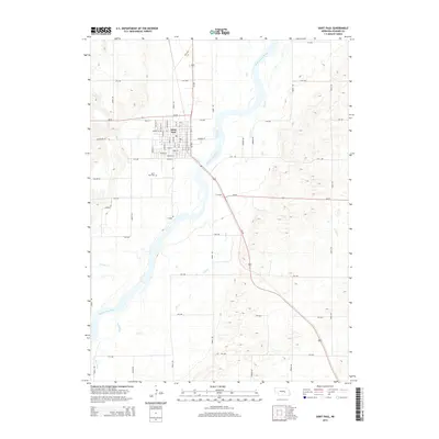 2014 Saint Paul2014 Print · USGSSaint Paul and the Howard County river valley are captured here in the mid-2010s. Researchers can trace the town's street grid and nearby landmarks like the Saint Paul Cem and the braided channels of the Middle Loup River.
 - 2014 Map of Boelus, 2014 Print
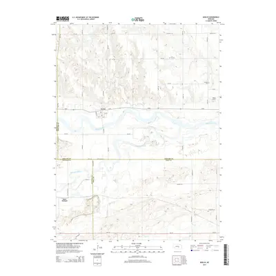 2014 Boelus2014 Print · USGSCentral Nebraska river valleys meet at the confluence of the Middle Loup River and South Loup River during the early twenty-first century. Researchers can trace rural lineages at the Swedish Cem and Loup Fork Cem near the village of Boelus.
 - 2014 Map of Elba, 2014 Print
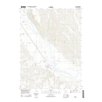 2014 Elba2014 Print · USGSThe North Loup River valley in central Nebraska is captured here in the early twenty-first century as it flows past the rural hubs of Elba and Cotesfield. Local historians can trace the historic Deadwood Trl and find family records at Saint Joseph Cem or Fairdale Cem.
 - 2014 Map of Wolbach SW, 2014 Print
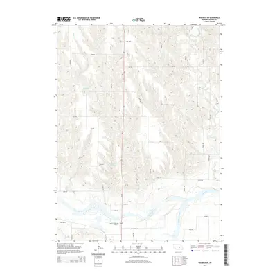 2014 Wolbach SW2014 Print · USGSHoward County's river valleys come into focus in the early twenty-first century as the North and Middle Loup rivers converge. Genealogists can locate several local burial sites like Saint Peter Cem and Logan Cem among the agricultural grid.
 - 2014 Map of Wolbach NE, 2014 Print
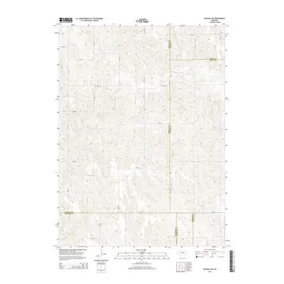 2014 Wolbach NE2014 Print · USGSThe rural borders of five Nebraska counties meet in this 2010s survey, showing a landscape shaped by drainage and a dense road grid. Genealogists and researchers can trace local routes like Brady Rd and Wpa Ave as they cross S Br Timber Cr and Cottonwood Cr.
 - 2014 Map of Scotia NE, 2014 Print
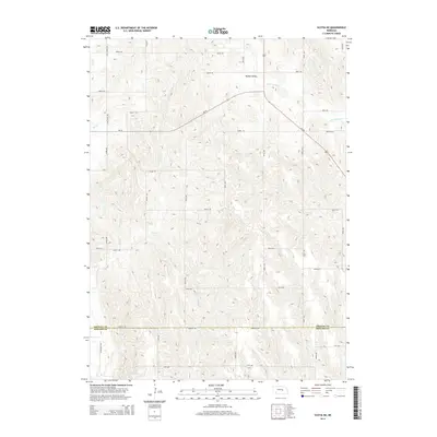 2014 Scotia NE2014 Print · USGSGreeley and Howard counties appear in the mid-2010s as a landscape of structured agricultural grids and historical pathways. Researchers can trace the path of the Deadwood Trl or follow the drainage of Boston Valley and Moffet Cr.
 - 2014 Map of Cushing, 2014 Print
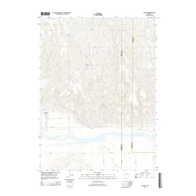 2014 Cushing2014 Print · USGSCushing and the Loup River valley are captured here in the early twenty-first century as agricultural patterns follow the terrain. Genealogists and researchers can locate the Rock Creek Cem and trace the winding paths of Rock Cr and Cottonwood Cr.
Showing maps 1-25 of 48
Top cities of Howard County
- Saint Paul historical maps
- Dannebrog historical maps
- Saint Libory historical maps
- Elba historical maps
- Farwell historical maps
- Cotesfield historical maps
See more
Frequently asked questions
- What are the different types of historical maps available for Howard County?
- What is the oldest map of Howard County?
- Where can I purchase historical maps of Howard County for my home or office?
- Where can I download high-res historical maps of Howard County?
- Are there historical topographic maps available for Howard County?
- Is there historical aerial imagery available for Howard County?
- Where are historical maps of Howard County sourced from?