2000s (21st Century) Maps of Morrill County, Nebraska
Explore 144 historic maps of Morrill County from the 2000s (21st Century). These maps offer a rare glimpse into what life looked like during the 2000s — showing old roads, neighborhoods, homes, and landmarks that have changed or disappeared over time.
Whether you're researching your family's past, planning a metal detecting trip, or studying how Morrill County's landscape evolved across the 2000s, these high-resolution maps are a powerful tool for exploring the history of this region.
- Focus on a specific era: All maps on this page are from the 2000s, giving you a focused view of this time period.
- See what’s changed: Compare century-old streets, trails, and buildings to today's modern landscape using overlays and satellite layers.
- Research with precision: Use these maps for genealogy, historical research, land use analysis, or educational projects.
- View, download, or print: Maps are fully viewable online in high resolution, and can be downloaded or printed for your own records.
Start exploring Morrill County's history through authentic maps from the 2000s. This is your window into the past.
Morrill County, NE maps
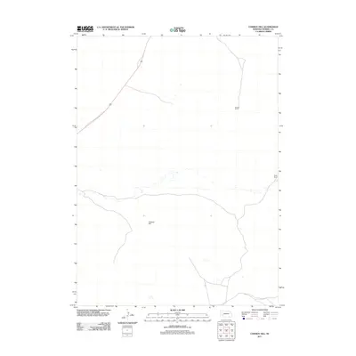
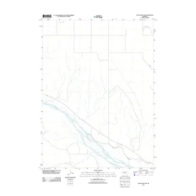
(144)- 2011 Map of Tar Valley, 2011 Print
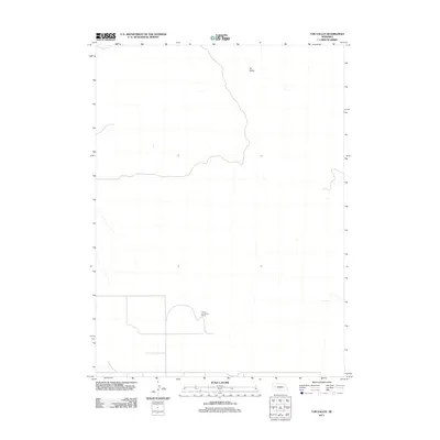 2011 Tar Valley2011 Print · USGSCovers Morrill County, including Garden County, United States, and other nearby areas
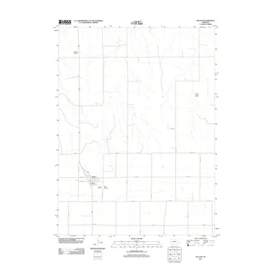
 - 2011 Map of Fairchild Ranch, 2011 Print
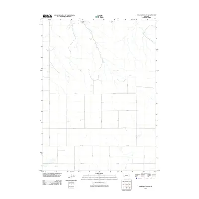 2011 Fairchild Ranch2011 Print · USGSCovers Morrill County, including Cheyenne County, United States, and other nearby areas
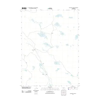
 - 2011 Map of Camp Lake, 2011 Print
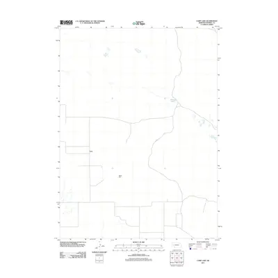 2011 Camp Lake2011 Print · USGSCovers Morrill County, including Lynn, United States, and other nearby areas
 - 2011 Map of Norris Lake, 2011 Print
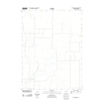
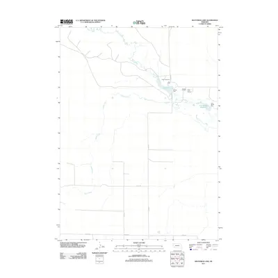
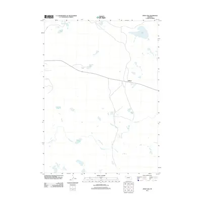
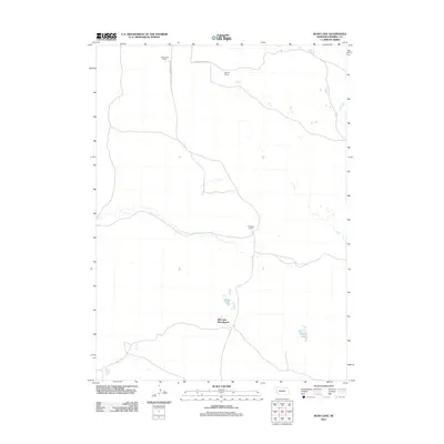
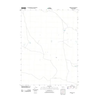 2011 Norris Lake2011 Print · USGSCovers Morrill County, including United States, Nebraska, and other nearby areas
 - 2011 Map of Cowboy Hill, 2011 Print
 2011 Cowboy Hill2011 Print · USGSCovers Morrill County, including United States, Nebraska, and other nearby areas
 - 2011 Map of Broadwater NE, 2011 Print
 2011 Broadwater NE2011 Print · USGSCovers Morrill County, including United States, Nebraska, and other nearby areas
 - 2011 Map of Dalton, 2011 Print
 2011 Dalton2011 Print · USGSCovers Morrill County, including Dalton, Cheyenne County, and other nearby areas
 - 2011 Map of McCarthy Lake, 2011 Print
 2011 McCarthy Lake2011 Print · USGSCovers Morrill County, including Garden County, United States, and other nearby areas
 - 2011 Map of Kilpatrick Lake, 2011 Print
 2011 Kilpatrick Lake2011 Print · USGSCovers Morrill County, including Scotts Bluff County, Box Butte County, and other nearby areas
 - 2011 Map of Barrel Springs Creek South, 2011 Print
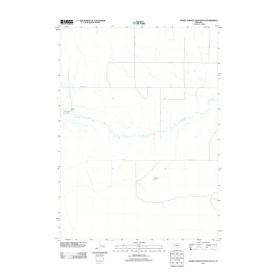 2011 Barrel Springs Creek South2011 Print · USGSCovers Morrill County, including Box Butte County, United States, and other nearby areas
 - 2011 Map of Angora NW, 2011 Print
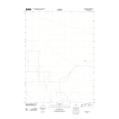 2011 Angora NW2011 Print · USGSCovers Morrill County, including United States, Nebraska, and other nearby areas
 - 2011 Map of Courthouse Rock, 2011 Print
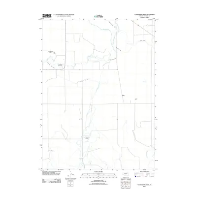 2011 Courthouse Rock2011 Print · USGSCovers Morrill County, including Alden, United States, and other nearby areas
 - 2011 Map of Broadwater SW, 2011 Print
 2011 Broadwater SW2011 Print · USGSCovers Morrill County, including United States, Nebraska, and other nearby areas
 - 2011 Map of Bayard NE, 2011 Print
 2011 Bayard NE2011 Print · USGSCovers Morrill County, including Scotts Bluff County, United States, and other nearby areas
 - 2011 Map of Lawrence Fork, 2011 Print
 2011 Lawrence Fork2011 Print · USGSCovers Morrill County, including Cheyenne County, Banner County, and other nearby areas
 - 2011 Map of Angora, 2011 Print
 2011 Angora2011 Print · USGSCovers Morrill County, including Perrin, Angora, and other nearby areas
 - 2011 Map of Jesse Lake, 2011 Print
 2011 Jesse Lake2011 Print · USGSCovers Morrill County, including Hoffland, Box Butte County, and other nearby areas
 - 2011 Map of Rush Lake, 2011 Print
 2011 Rush Lake2011 Print · USGSCovers Morrill County, including Nebraska Boys Ranch, United States, and other nearby areas
 - 2011 Map of Lisco NW, 2011 Print
 2011 Lisco NW2011 Print · USGSCovers Morrill County, including Cheyenne County, Garden County, and other nearby areas
 - 2011 Map of Alliance West, 2011 Print
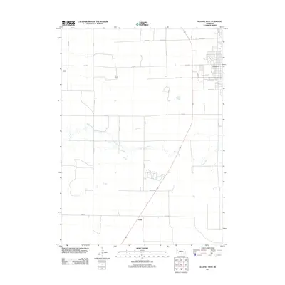 2011 Alliance West2011 Print · USGSCovers Morrill County, including Alliance, Letan, and other nearby areas
 - 2011 Map of Bridgeport, 2011 Print
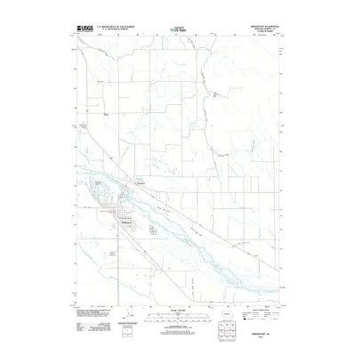 2011 Bridgeport2011 Print · USGSCovers Morrill County, including Bridgeport, Kemp, and other nearby areas
 - 2011 Map of Roundhouse Rock, 2011 Print
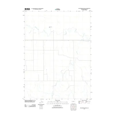 2011 Roundhouse Rock2011 Print · USGSCovers Morrill County, including United States, Nebraska, and other nearby areas
 - 2011 Map of Tar Valley SW, 2011 Print
 2011 Tar Valley SW2011 Print · USGSCovers Morrill County, including Garden County, United States, and other nearby areas
 - 2011 Map of Broadwater NW, 2011 Print
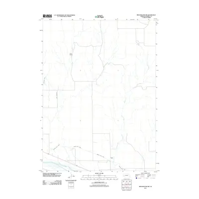 2011 Broadwater NW2011 Print · USGSCovers Morrill County, including United States, Nebraska, and other nearby areas
 - 2011 Map of Mud Springs, 2011 Print
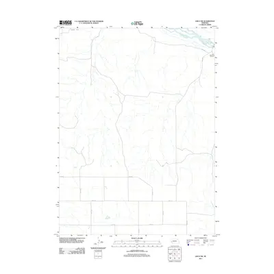
 2011 Mud Springs2011 Print · USGSCovers Morrill County, including Cheyenne County, United States, and other nearby areas
Showing maps 1-25 of 144
Top cities of Morrill County
Frequently asked questions
- What are the different types of historical maps available for Morrill County?
- What is the oldest map of Morrill County?
- Where can I purchase historical maps of Morrill County for my home or office?
- Where can I download high-res historical maps of Morrill County?
- Are there historical topographic maps available for Morrill County?
- Is there historical aerial imagery available for Morrill County?
- Where are historical maps of Morrill County sourced from?